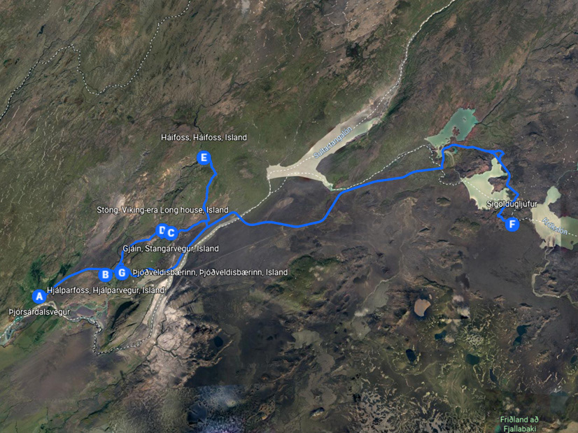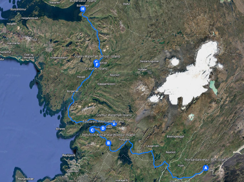

Today should start like yesterday, Búðardalur was shrouded in fog. Nevertheless, we were confident that it would quickly dissipate again and a sunny day awaits us.
This was only partially confirmed, on our route to the region Kaldrananeshreppur, it alternated between fog and sunshine.
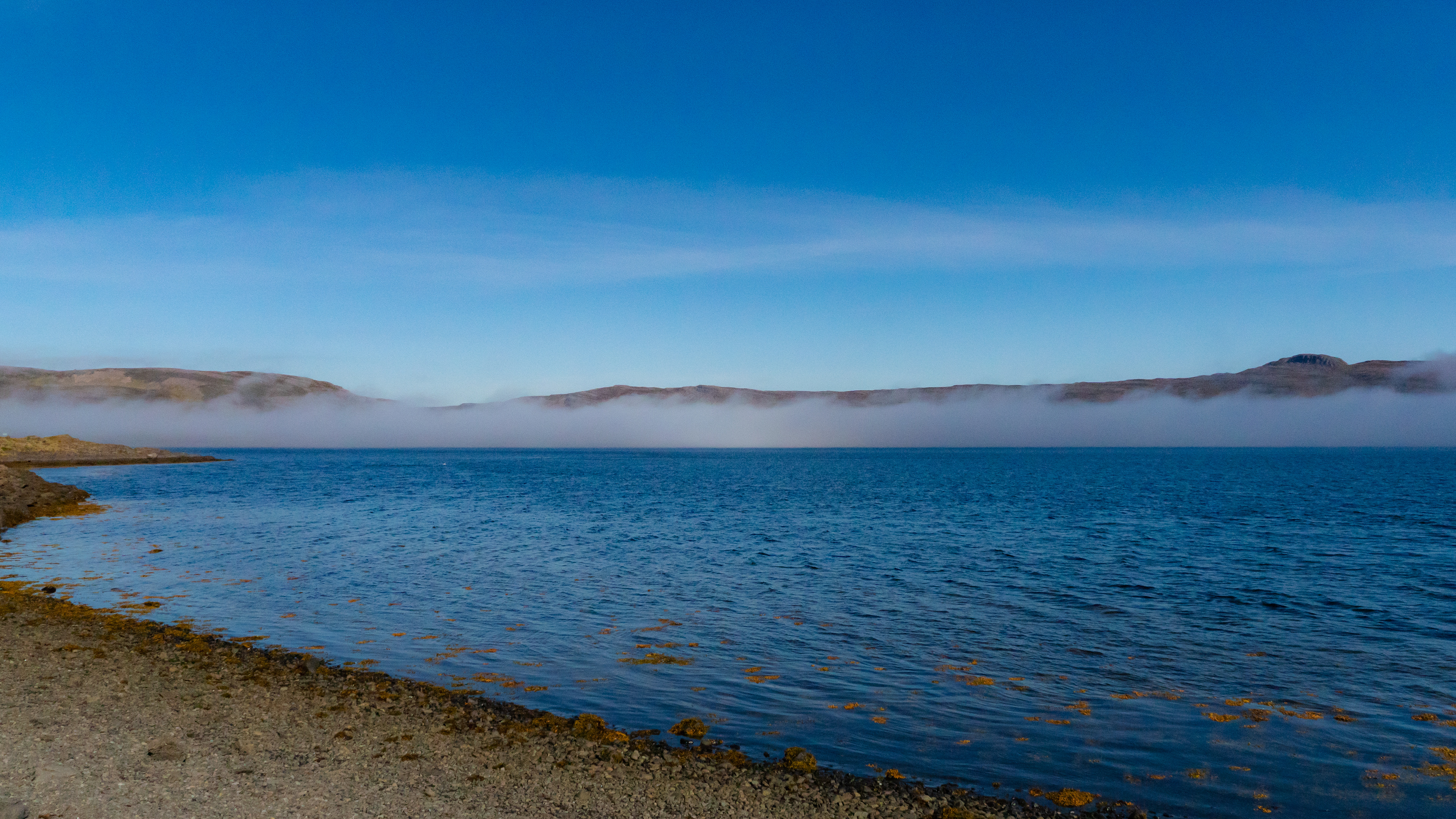
Especially around the Steingrímsfjörður so great pictures were taken.
This was only partially confirmed, on our route to the region Kaldrananeshreppur, it alternated between fog and sunshine.
Especially around the Steingrímsfjörður so great pictures were taken.
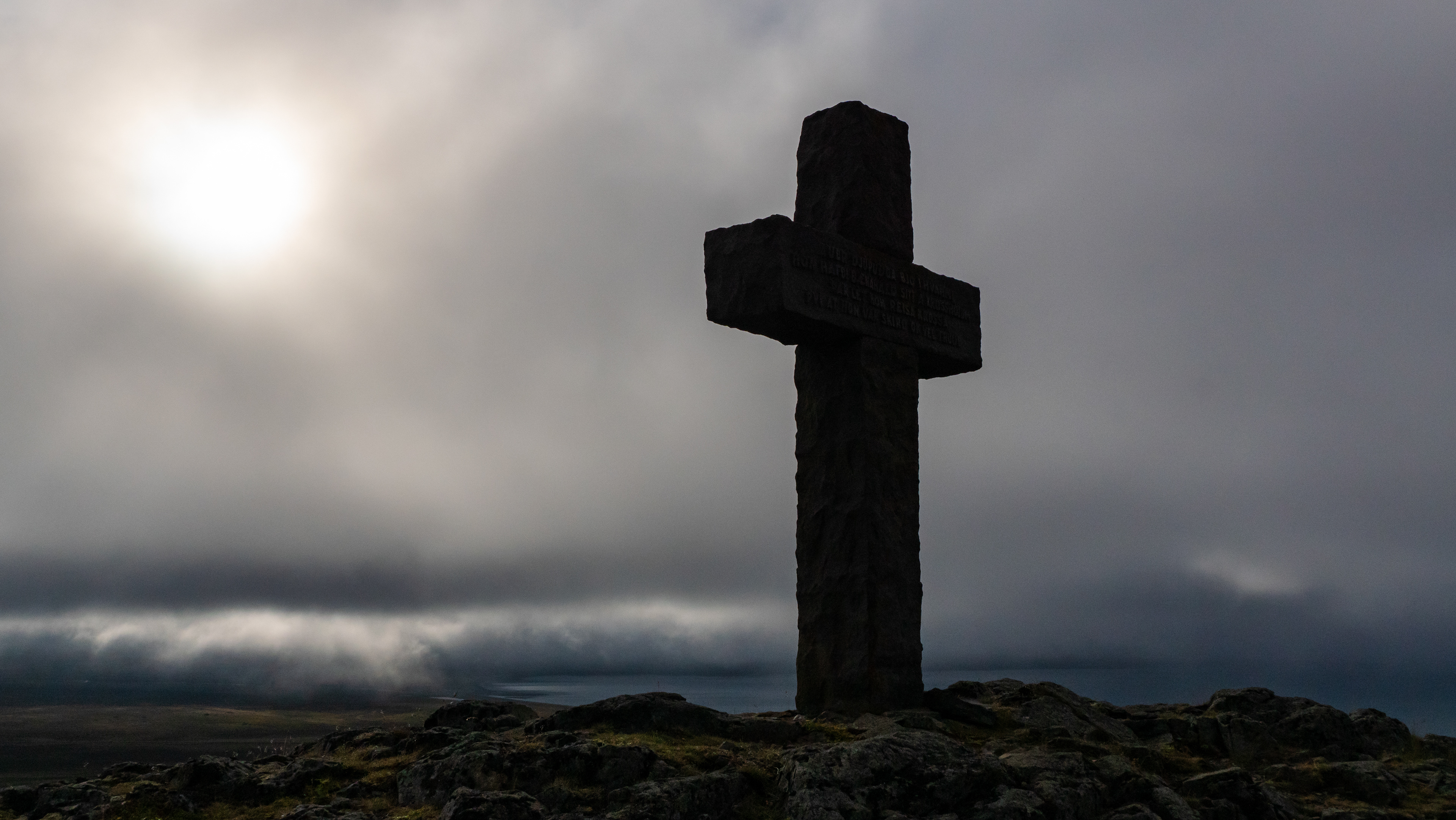
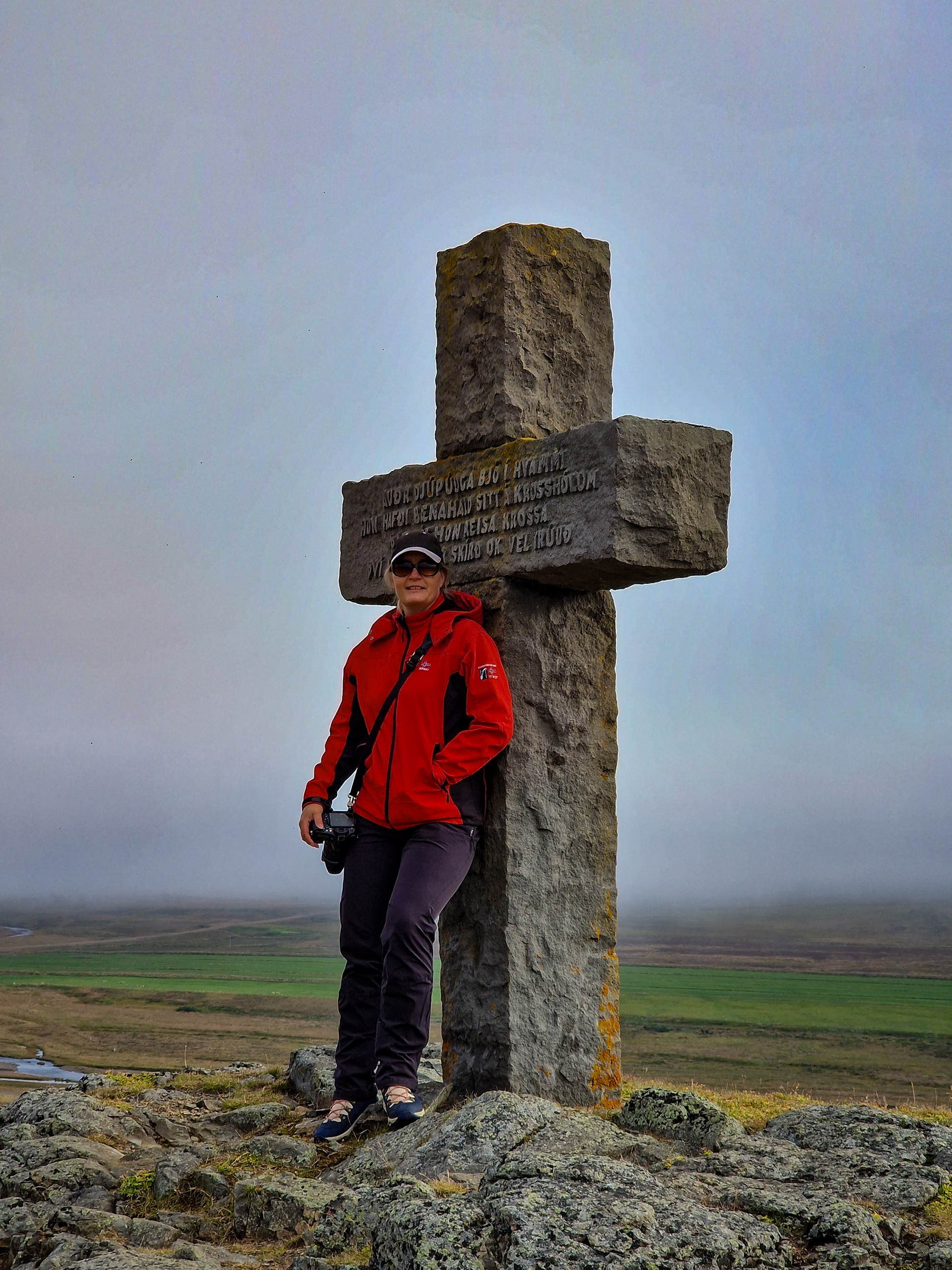
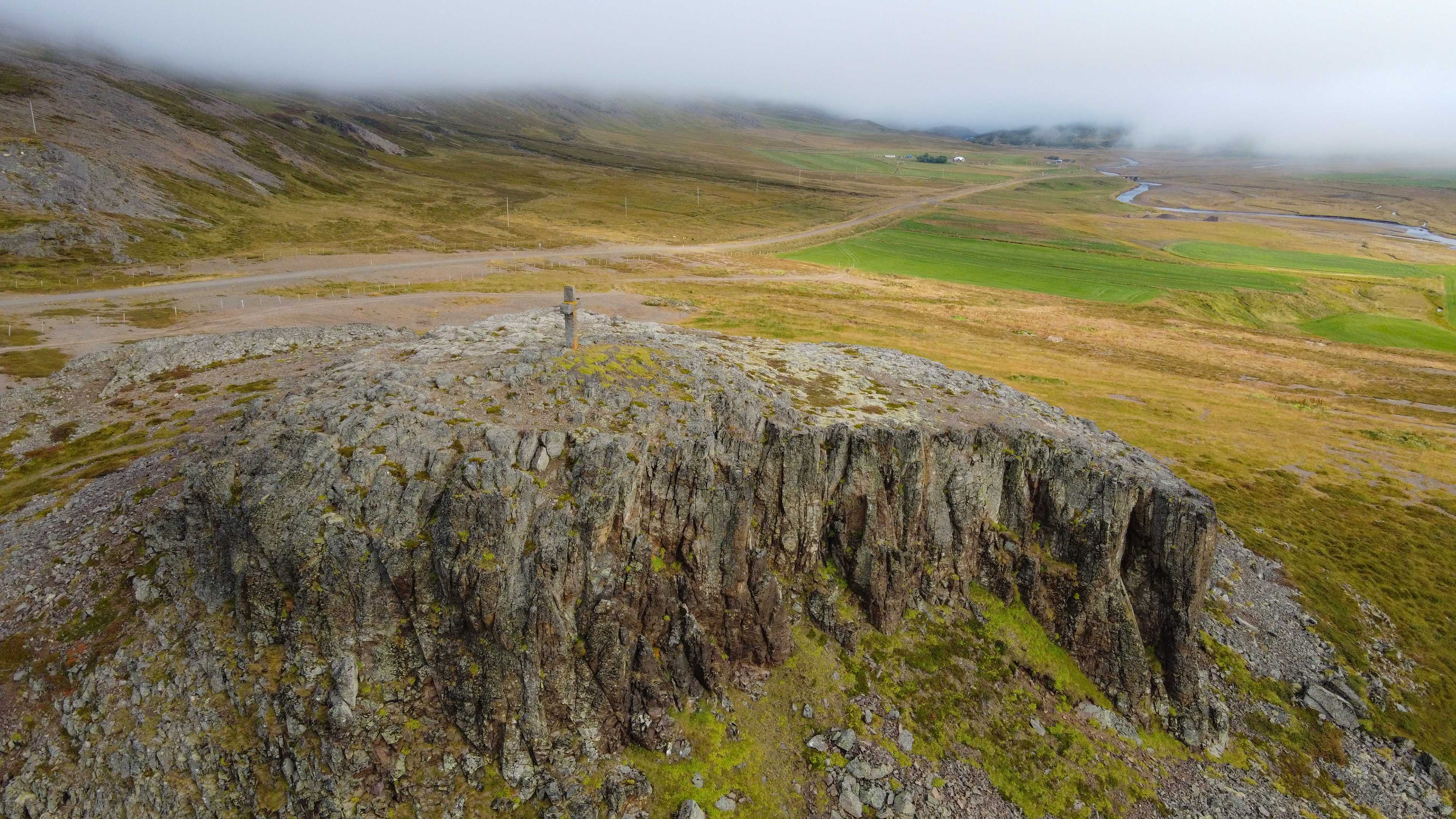
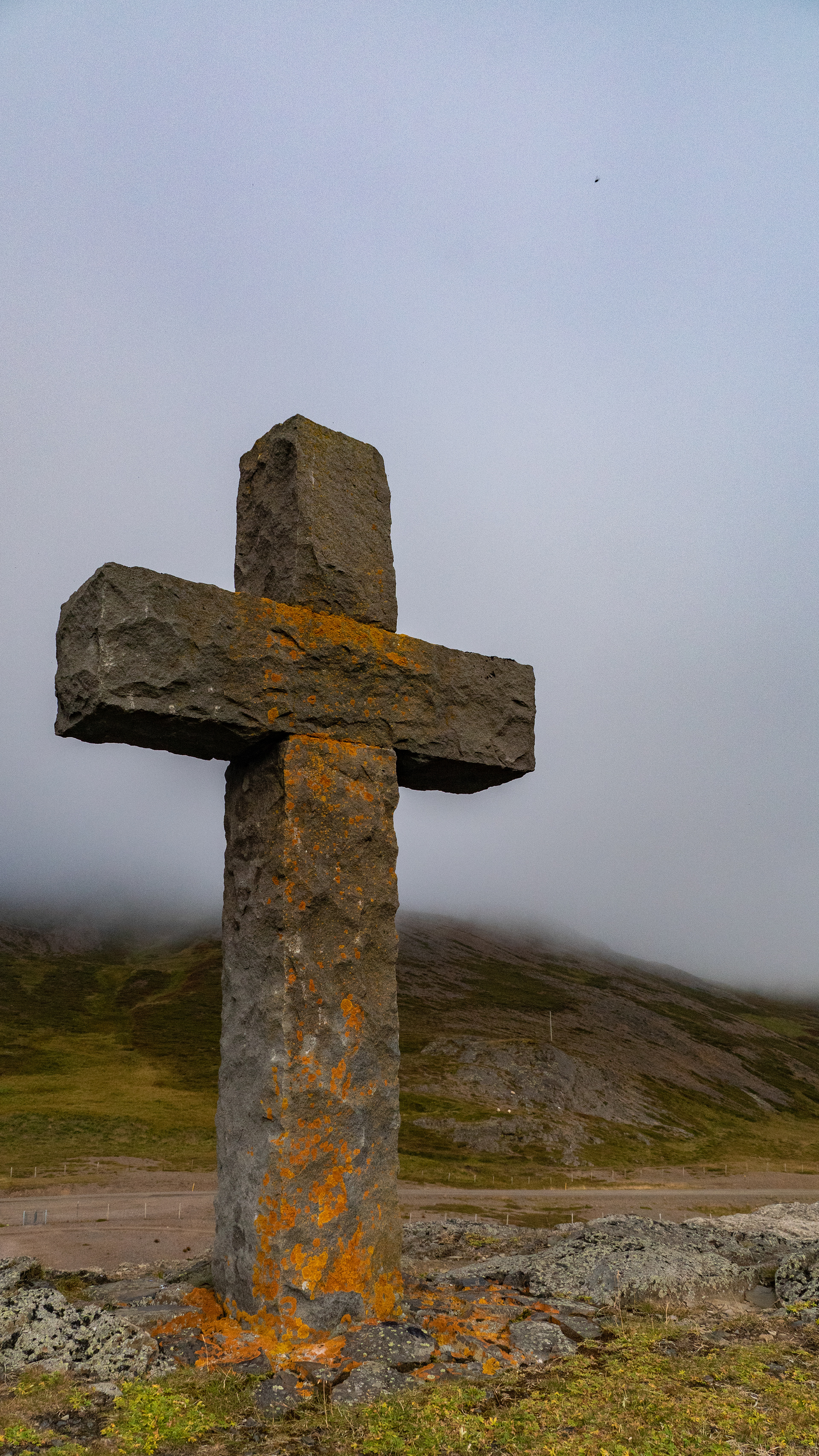
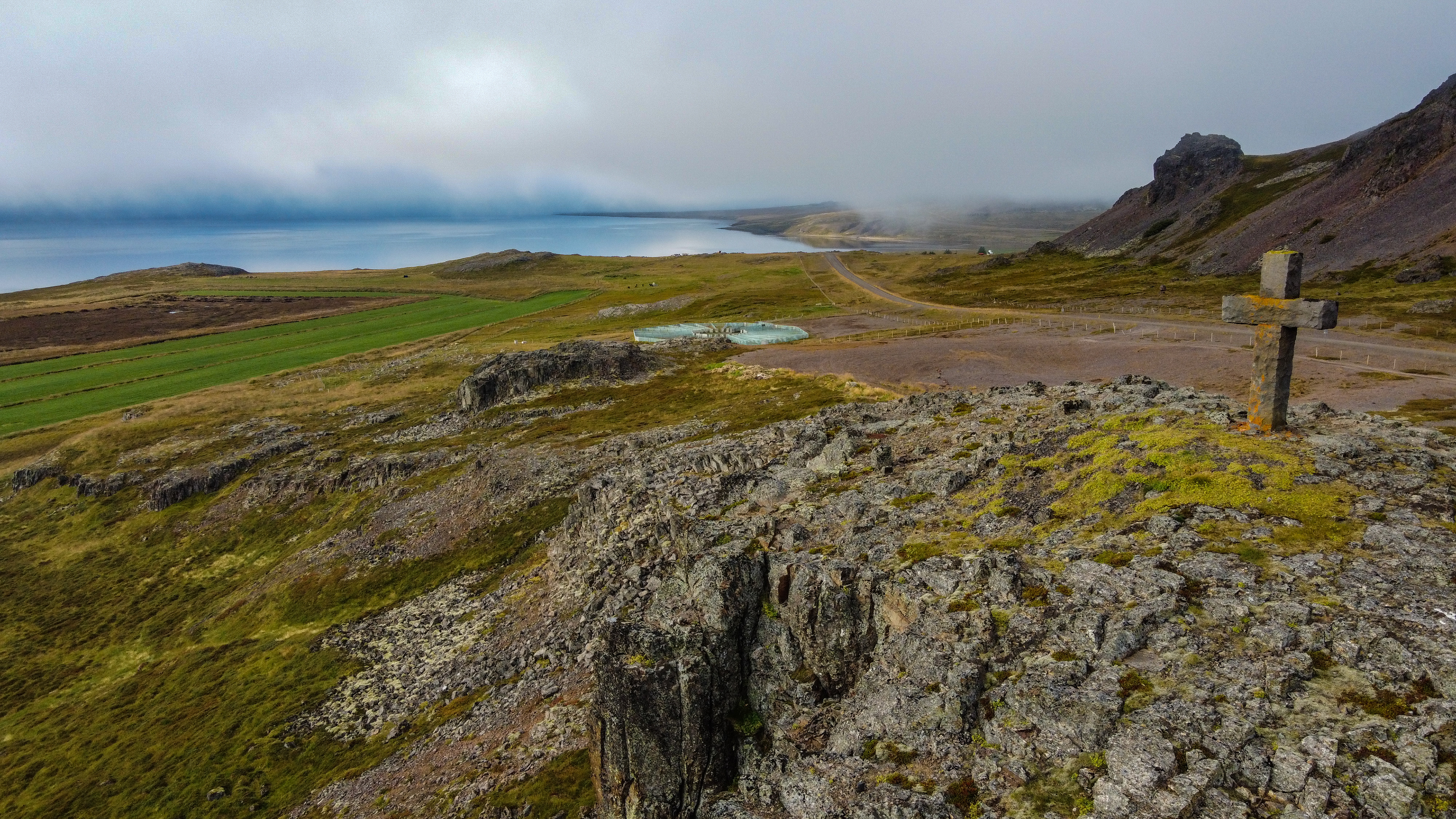
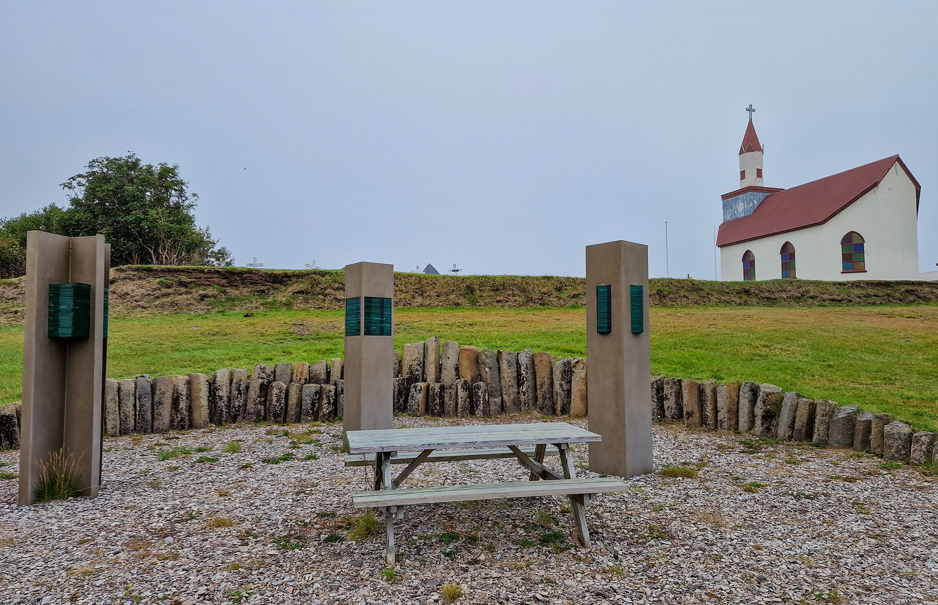
Our day tour started at Krosshólaborg, which is located at the end of Hvammsfjörður. Although one might assume similarities to Borgarvirki, this is a place to pray, not a fortress.
A Christian settler had a cross erected. Her descendants considered Krosshólaborg a sacred place. Women in Dalir erected a stone cross as a memorial to Aude in 1965.
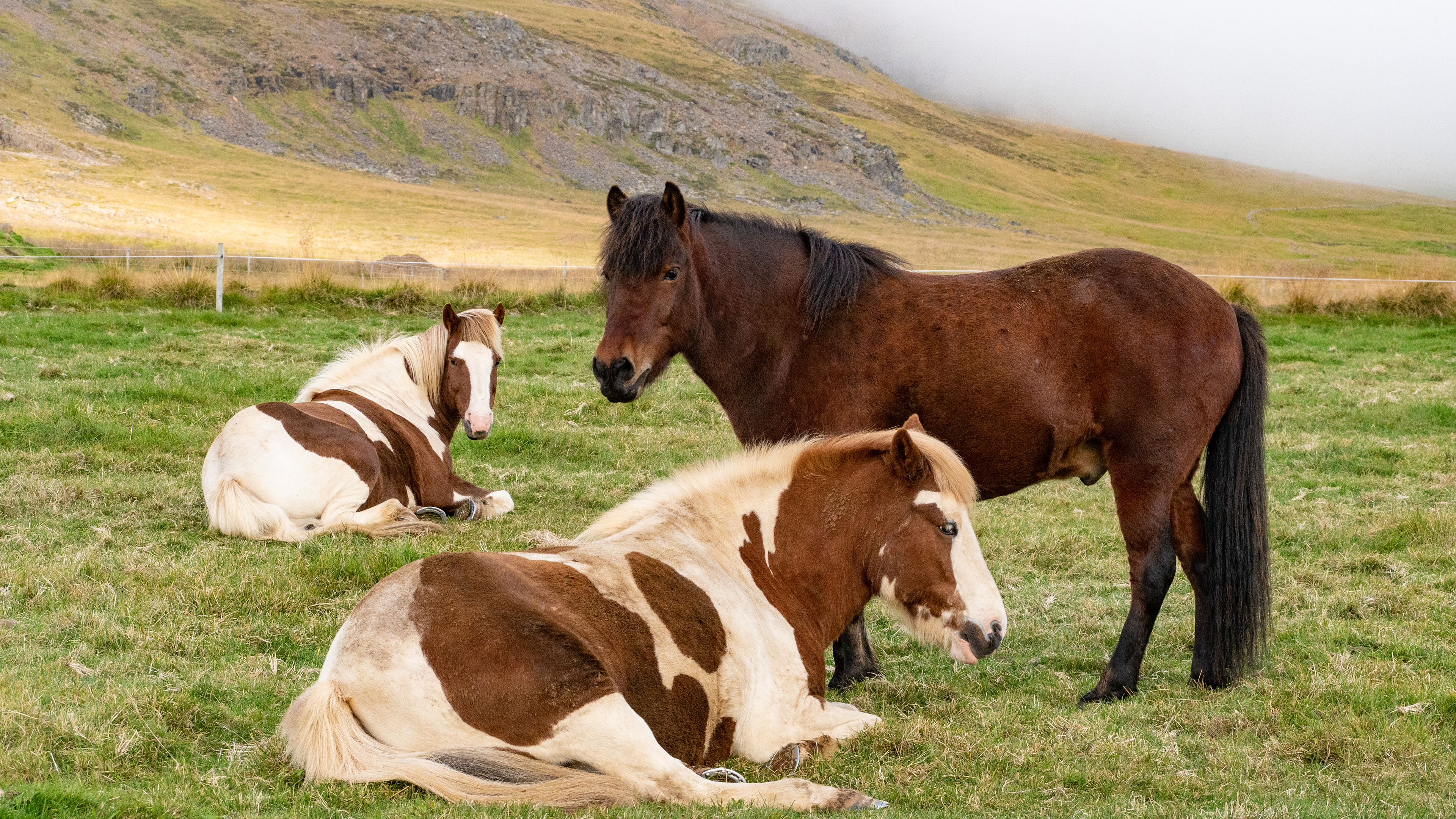
Before we went back on the 60 to the north, we stopped at a herd of horses, especially because of the two brown and white spotted ones.
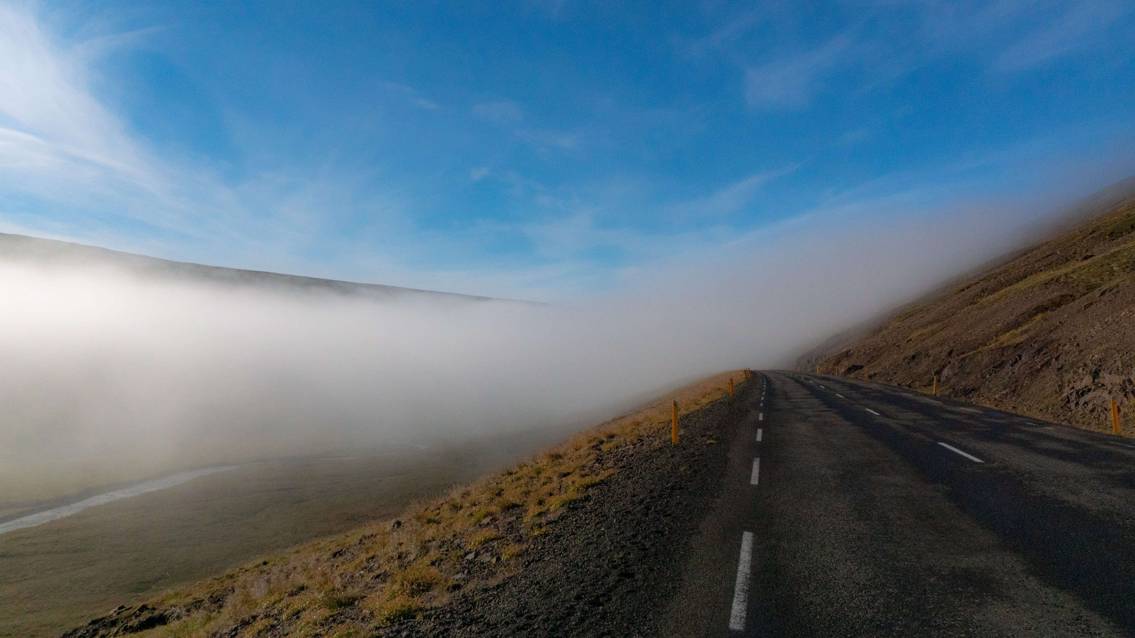
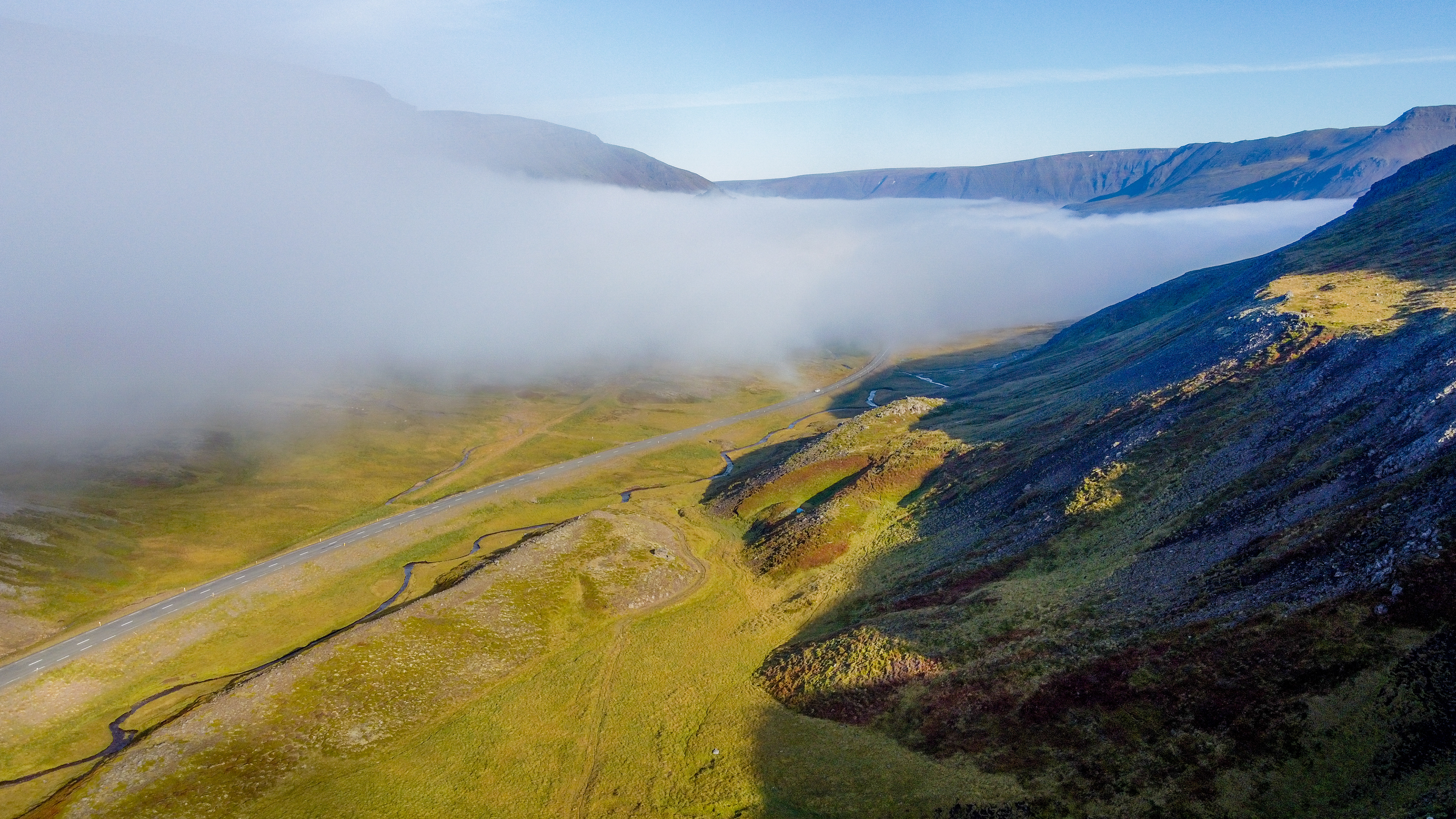
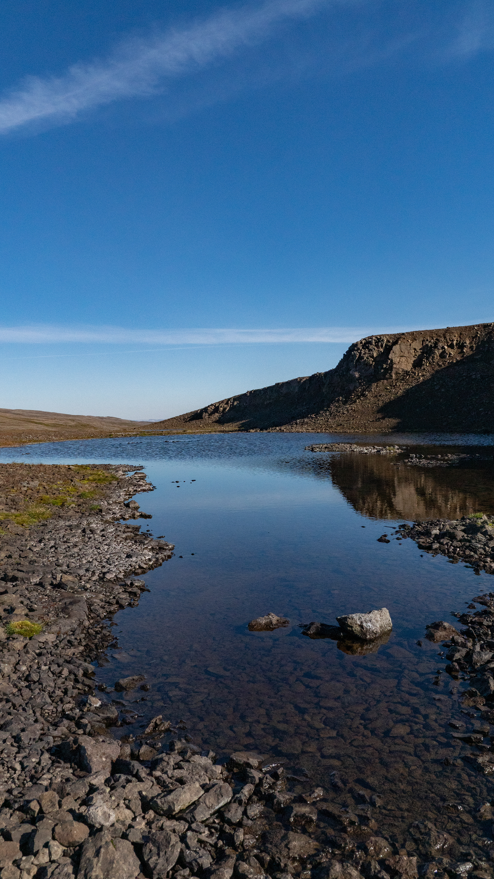
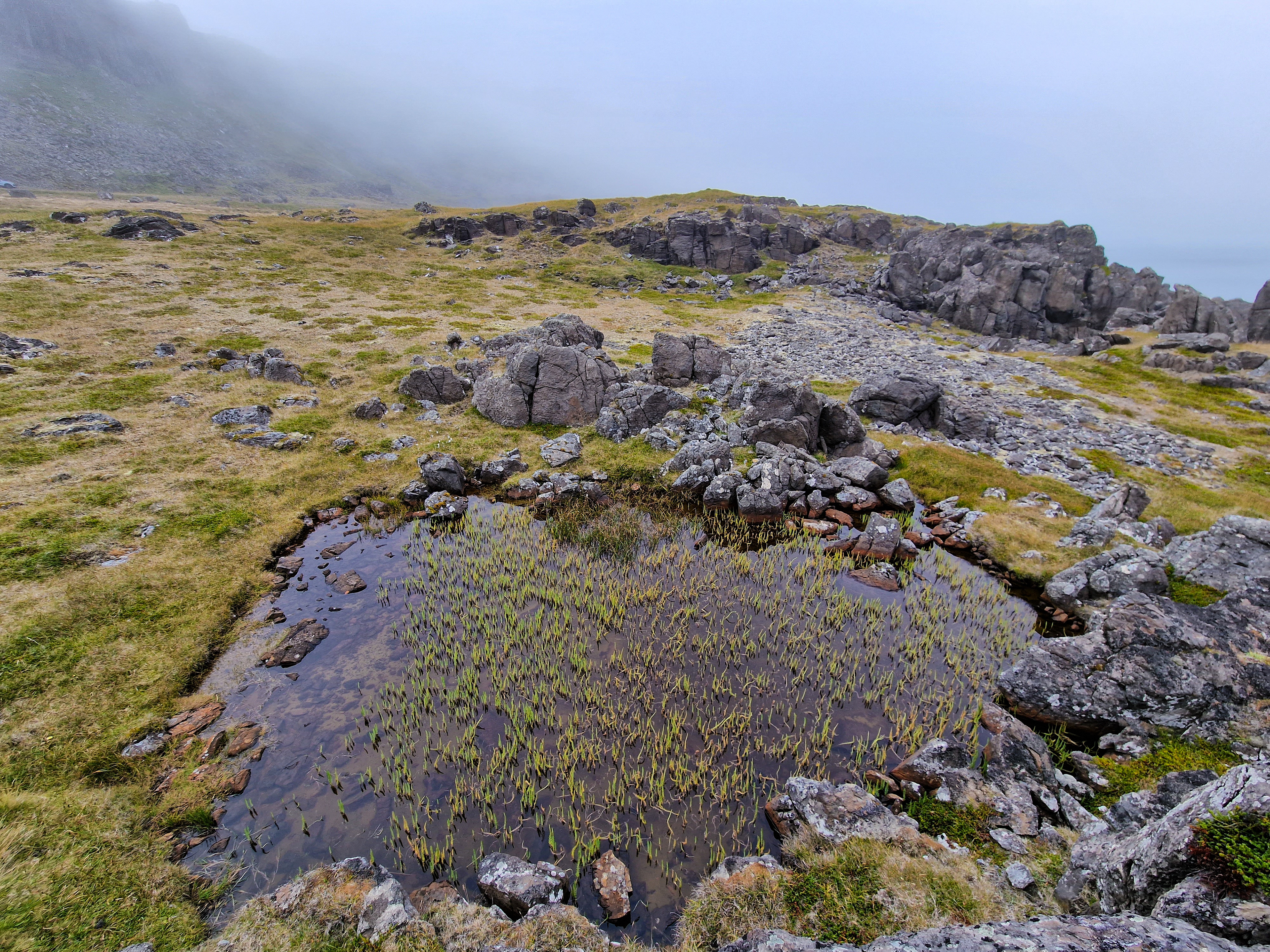
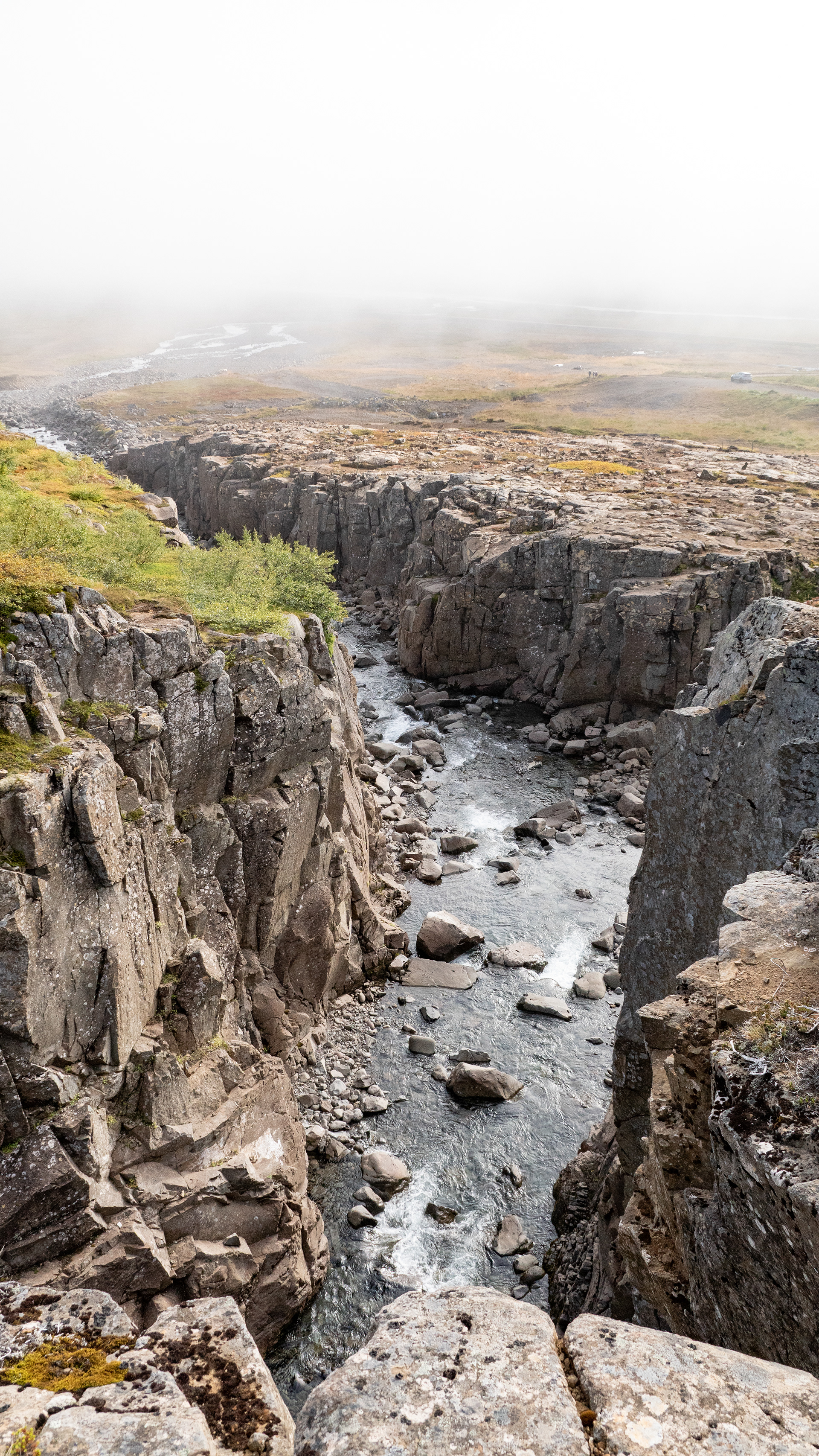
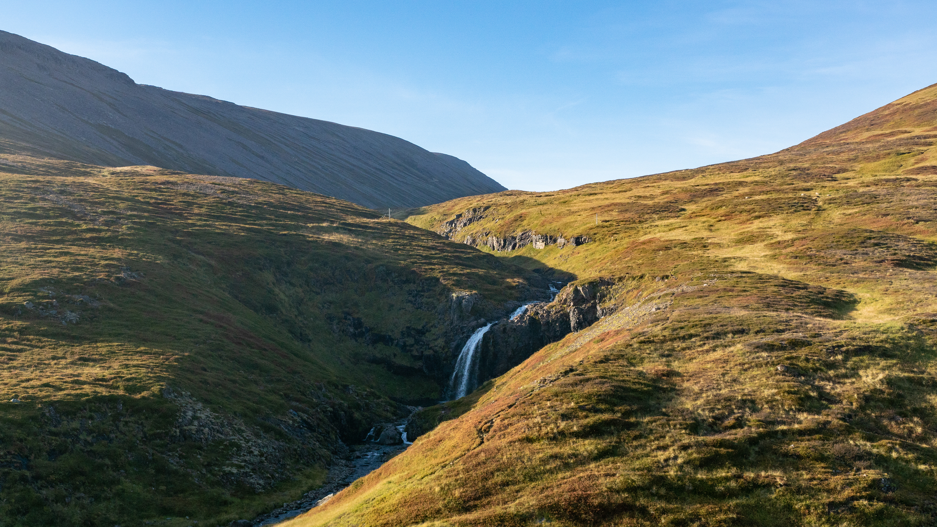
From then on, we made significant elevation gains until we stopped above the fog cover at Drifandagil. This does not lead particularly much water, but has over several steps quite a bit of fall height and is simply picturesque between the rock walls.
From there it was also possible to observe wonderfully how fast the fog moved at this height.
From there it was also possible to observe wonderfully how fast the fog moved at this height.
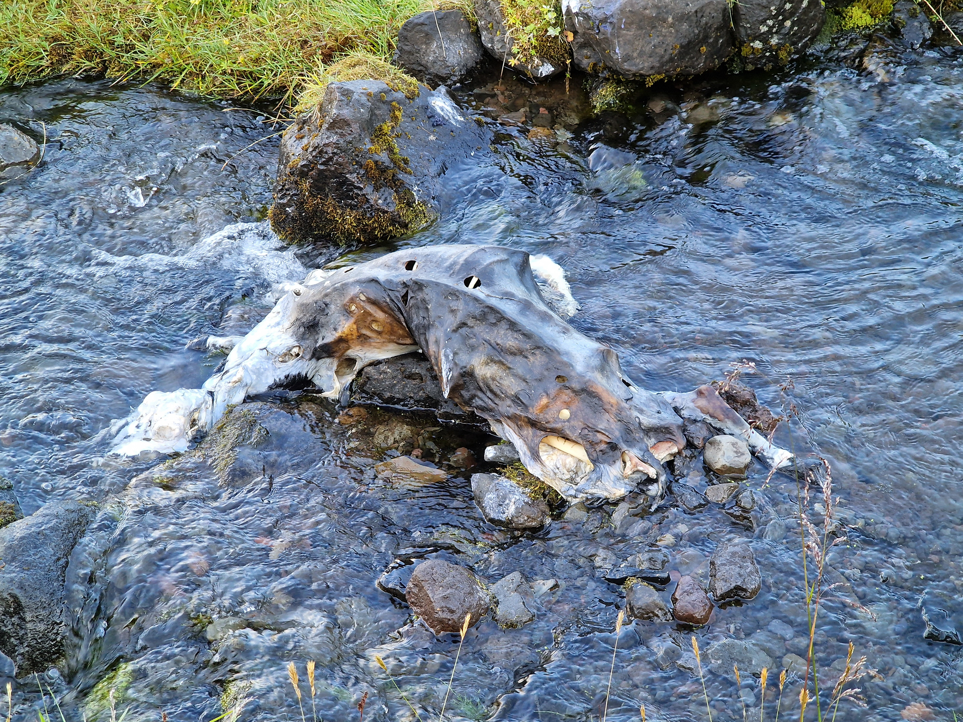
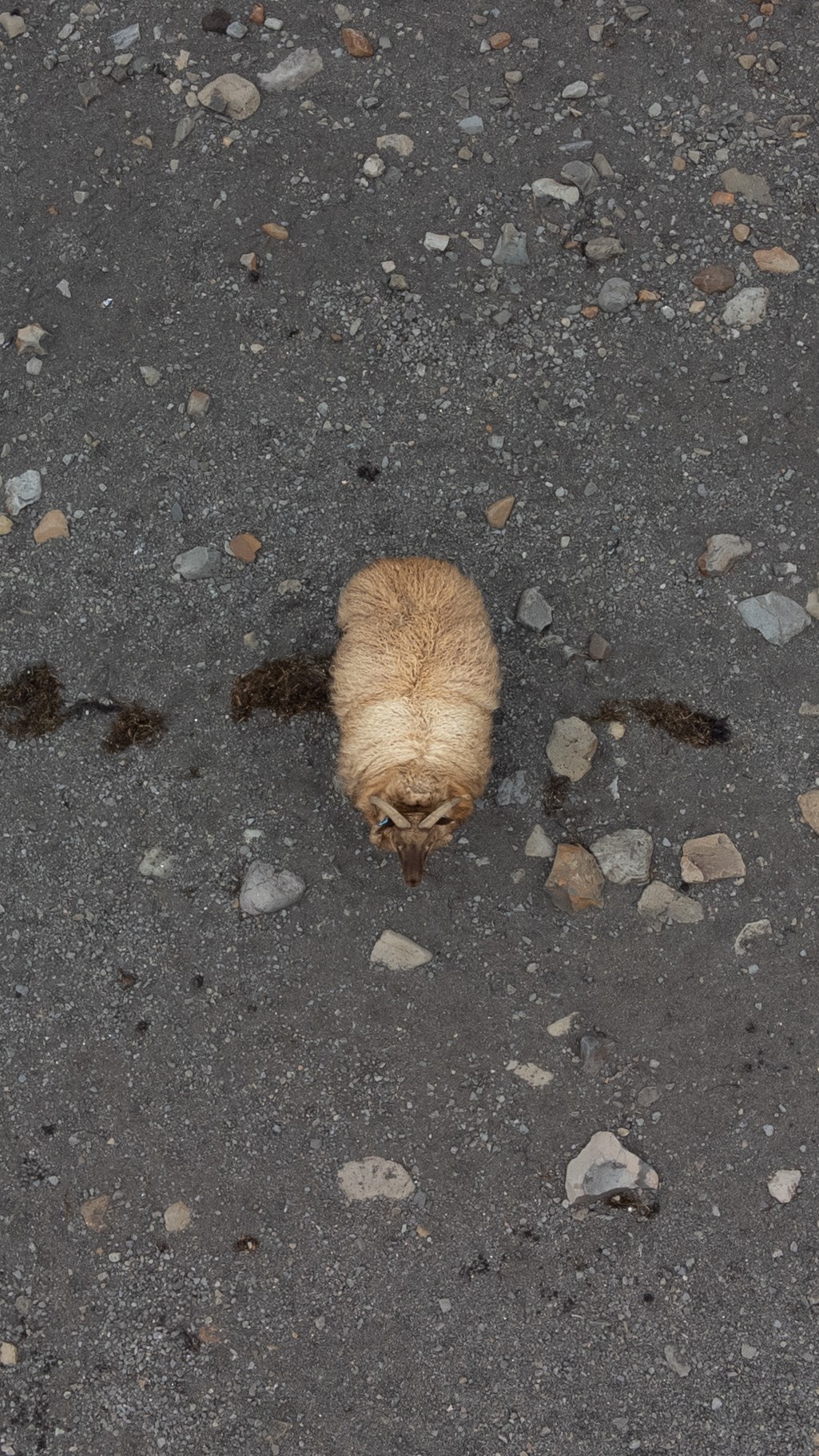
In the stream below the waterfall we discovered from afar a seemingly strange rock. When we came closer, it turned out that it was a dead sheep.
Since it went from here back into the valley, we are stuck at our next destination, again in dense fog.
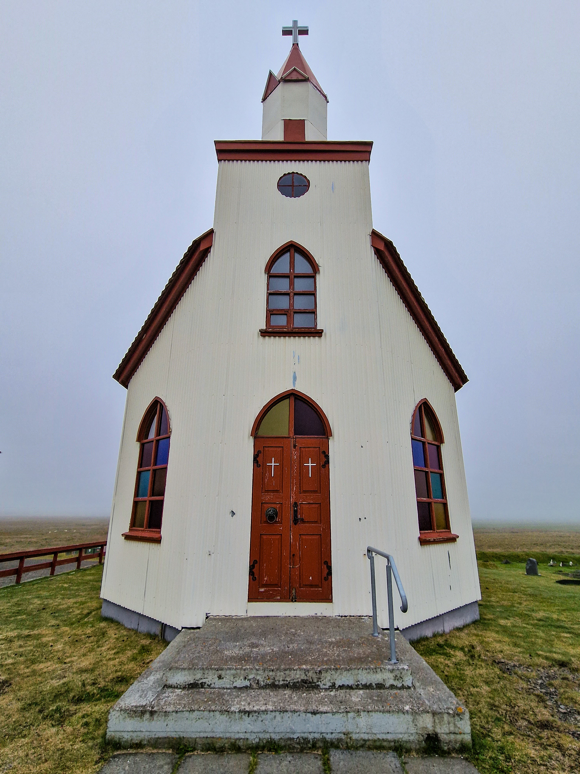
With churches as a photo motif, it often depends on the environment, how they look in the pictures.
The Staðarhólskirkja looked rather bleak in the fog, in no way mystical, so we did not stay too long at it.
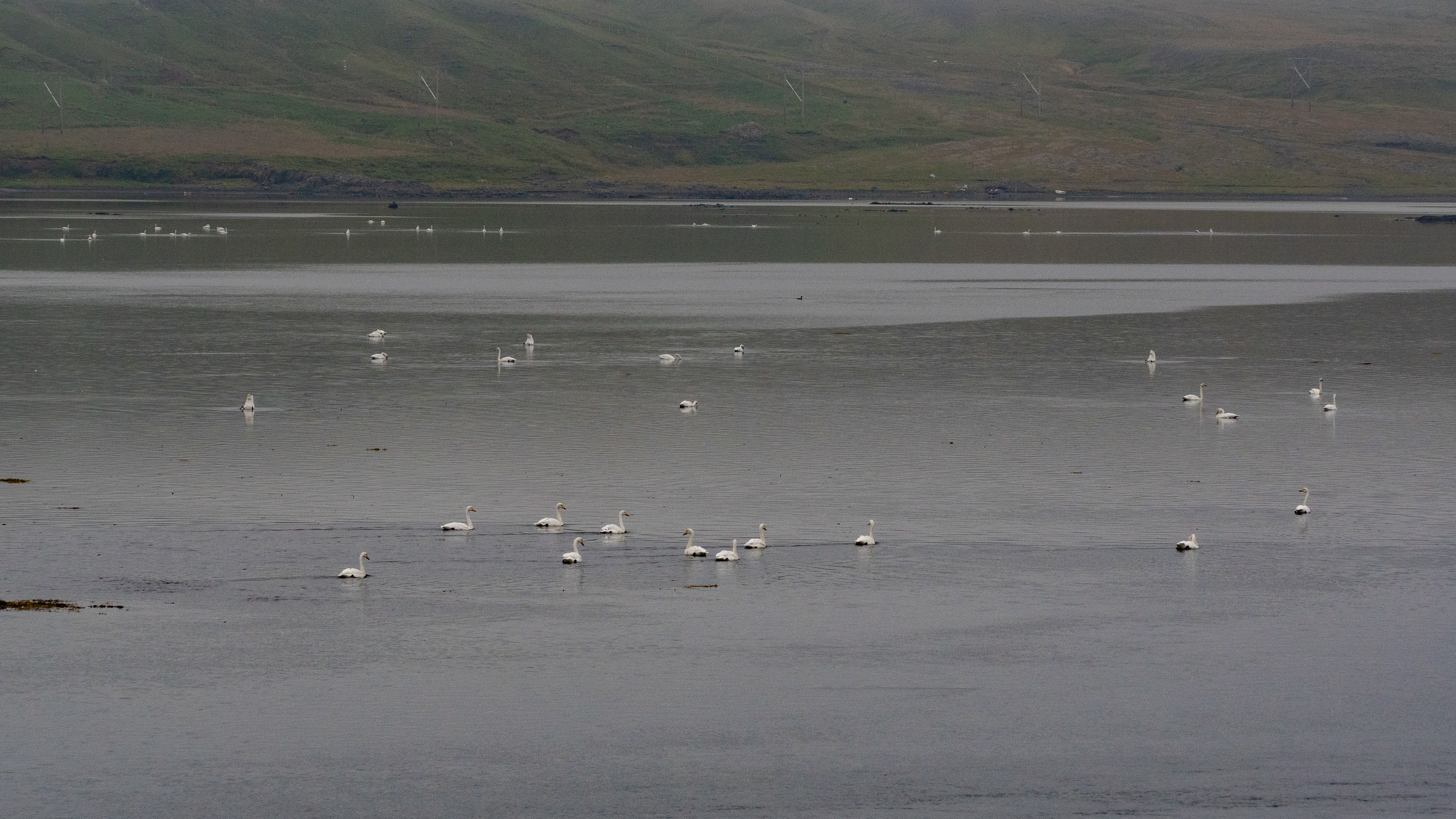
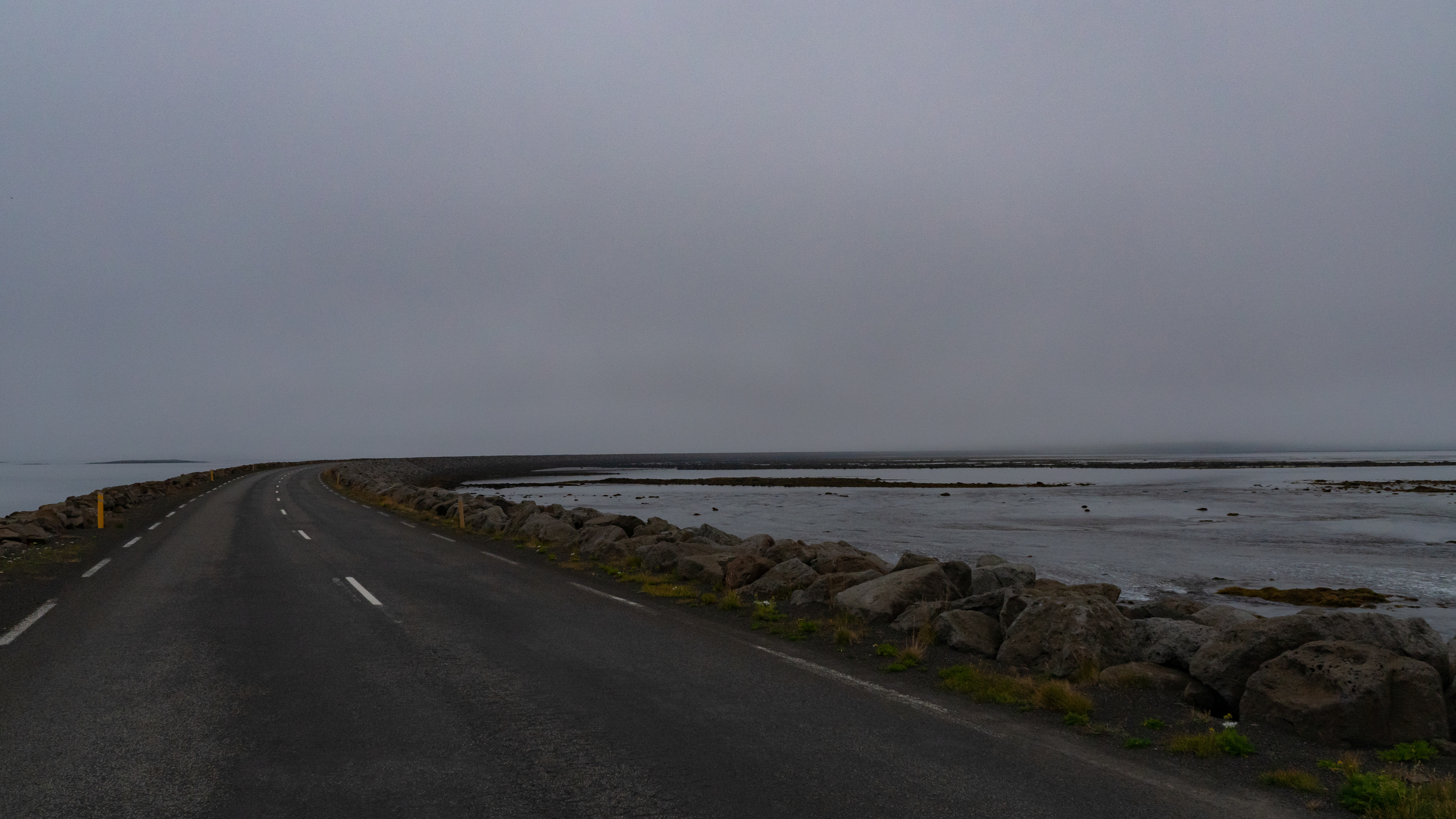
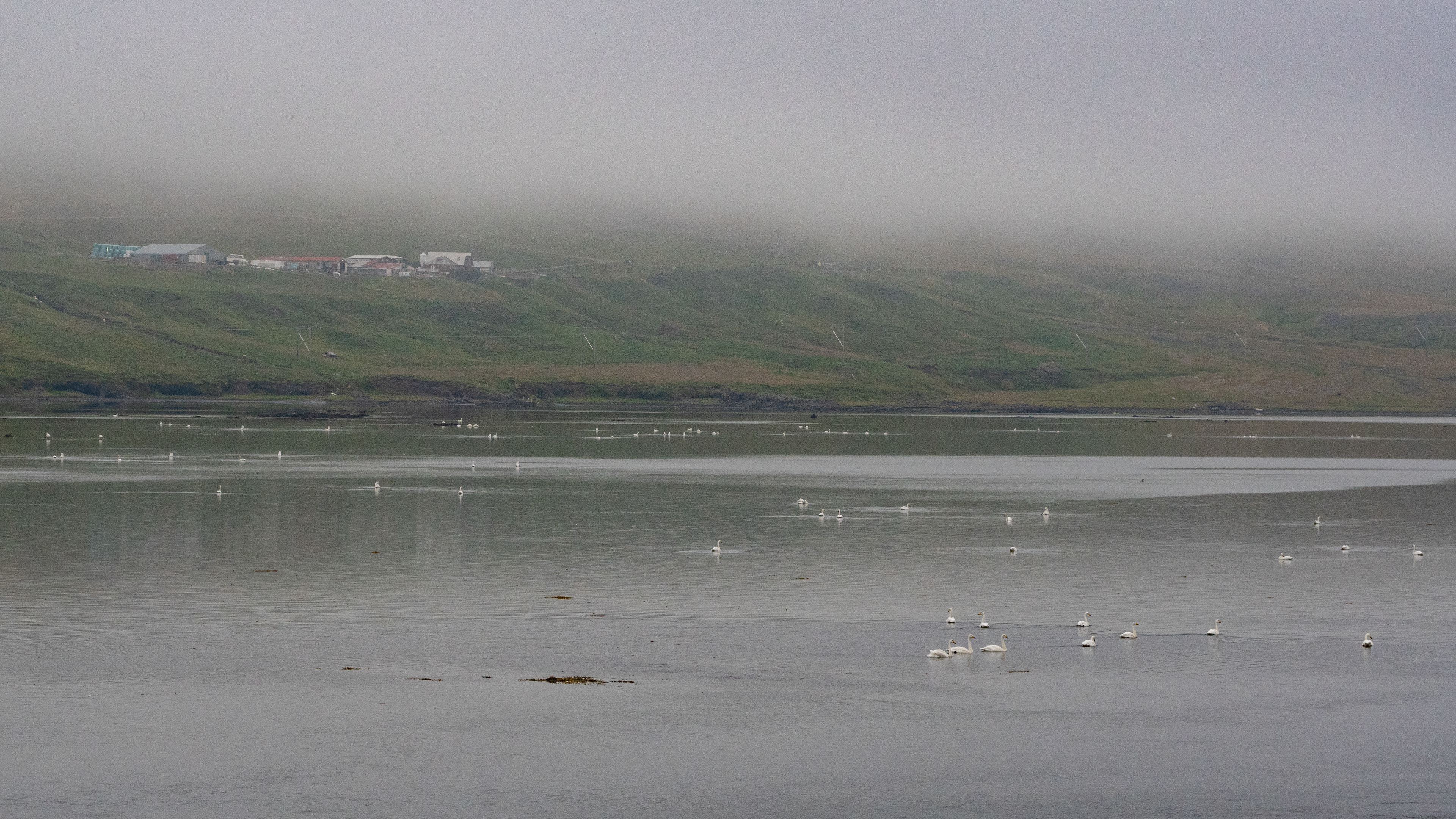
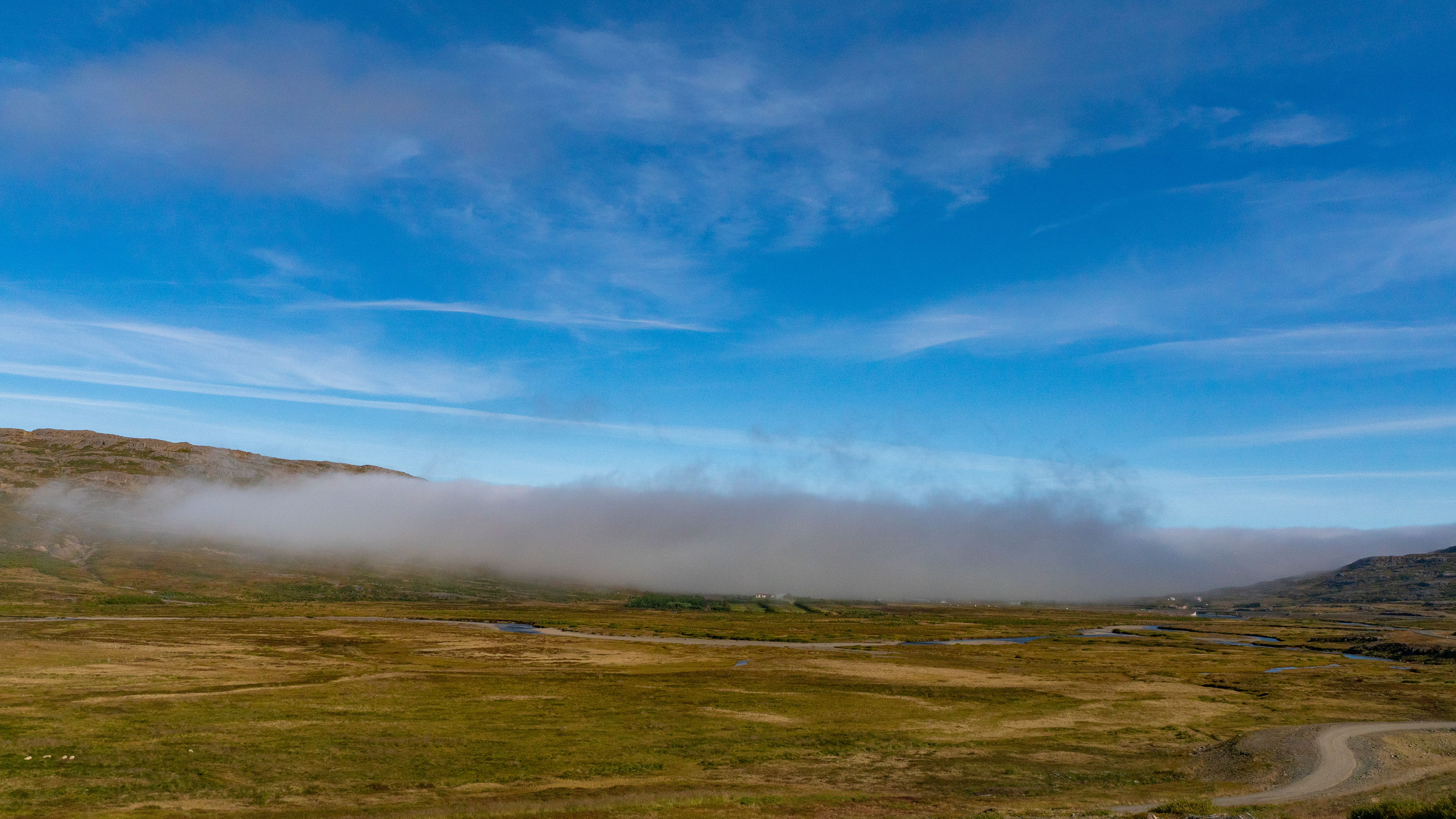
Gilsfjörður also hung in the fog, but countless swans had gathered on it, so we stopped for a few pictures on the causeway that separates the fjord from the open sea.
The reefs on this stretch of coast must be impressive, but with the low visibility, we could only guess at the beginning.
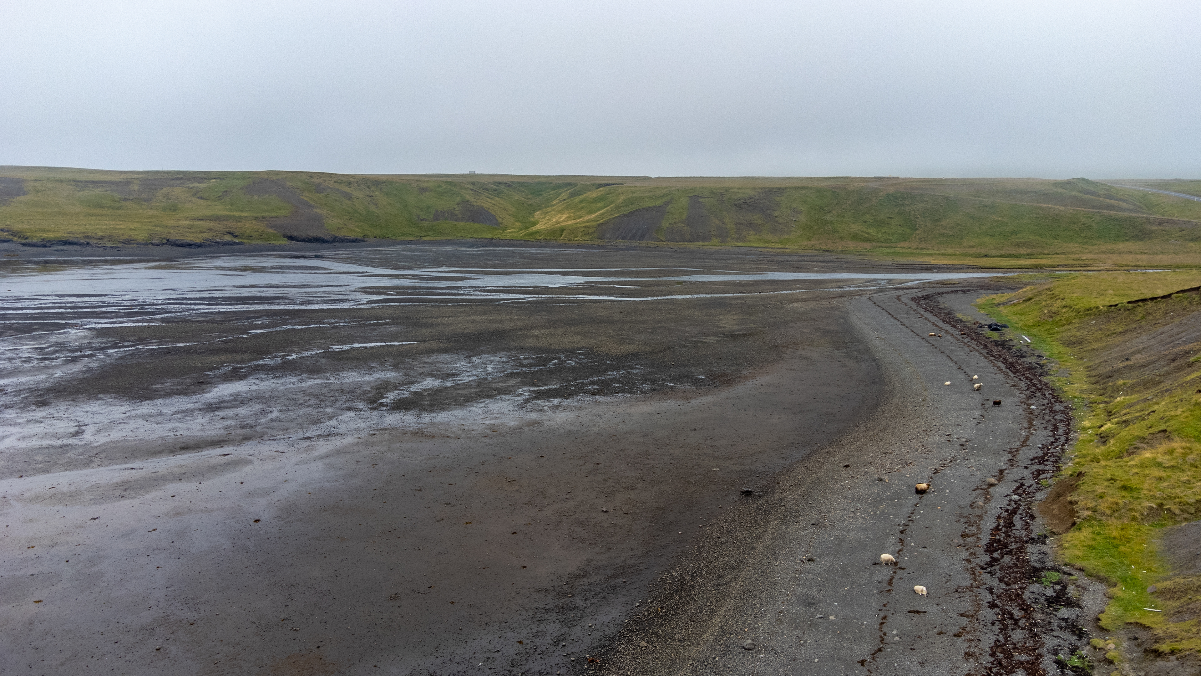
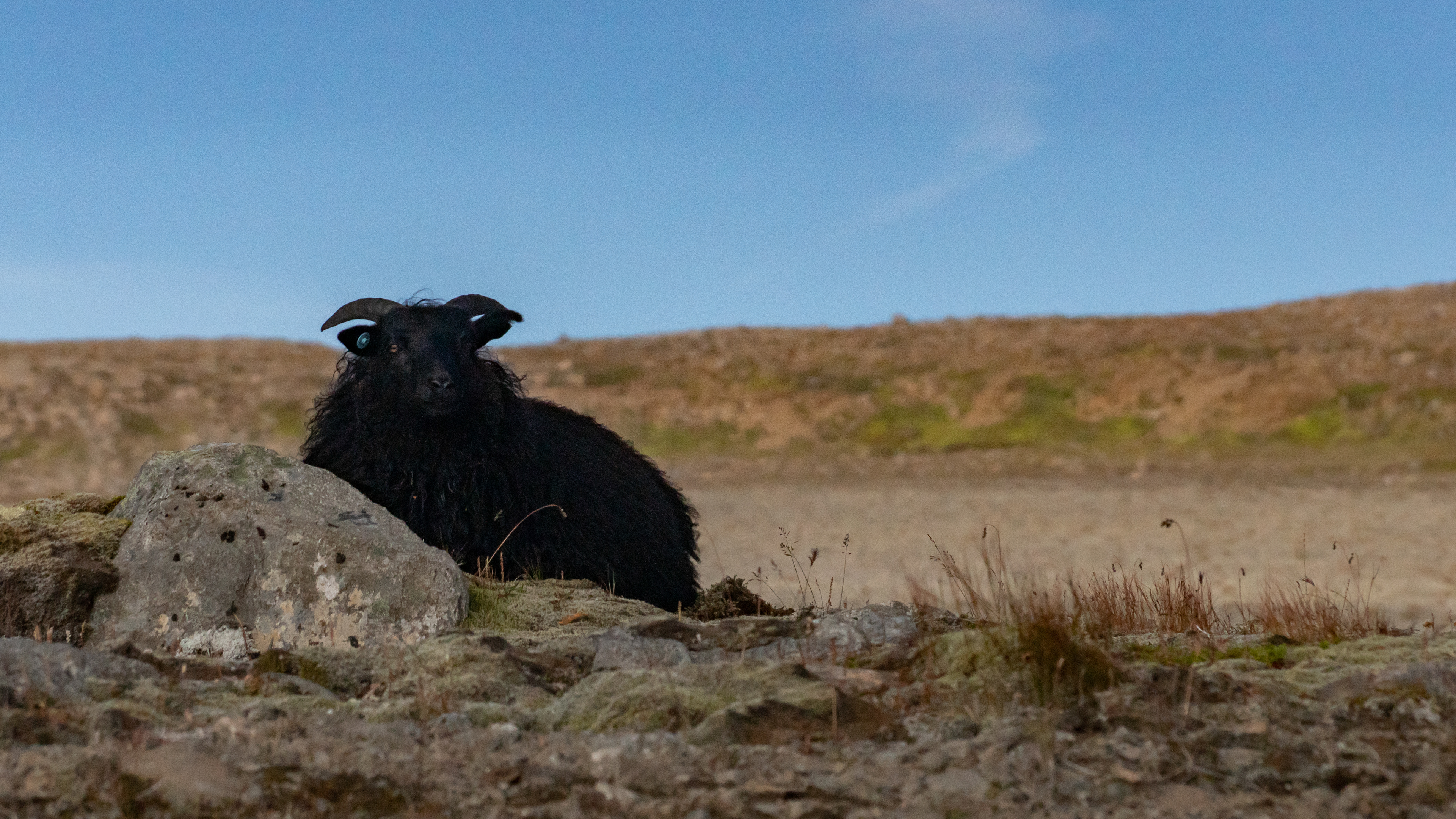
Two curves later, a black beach appeared, on which a flock of sheep wandered along.
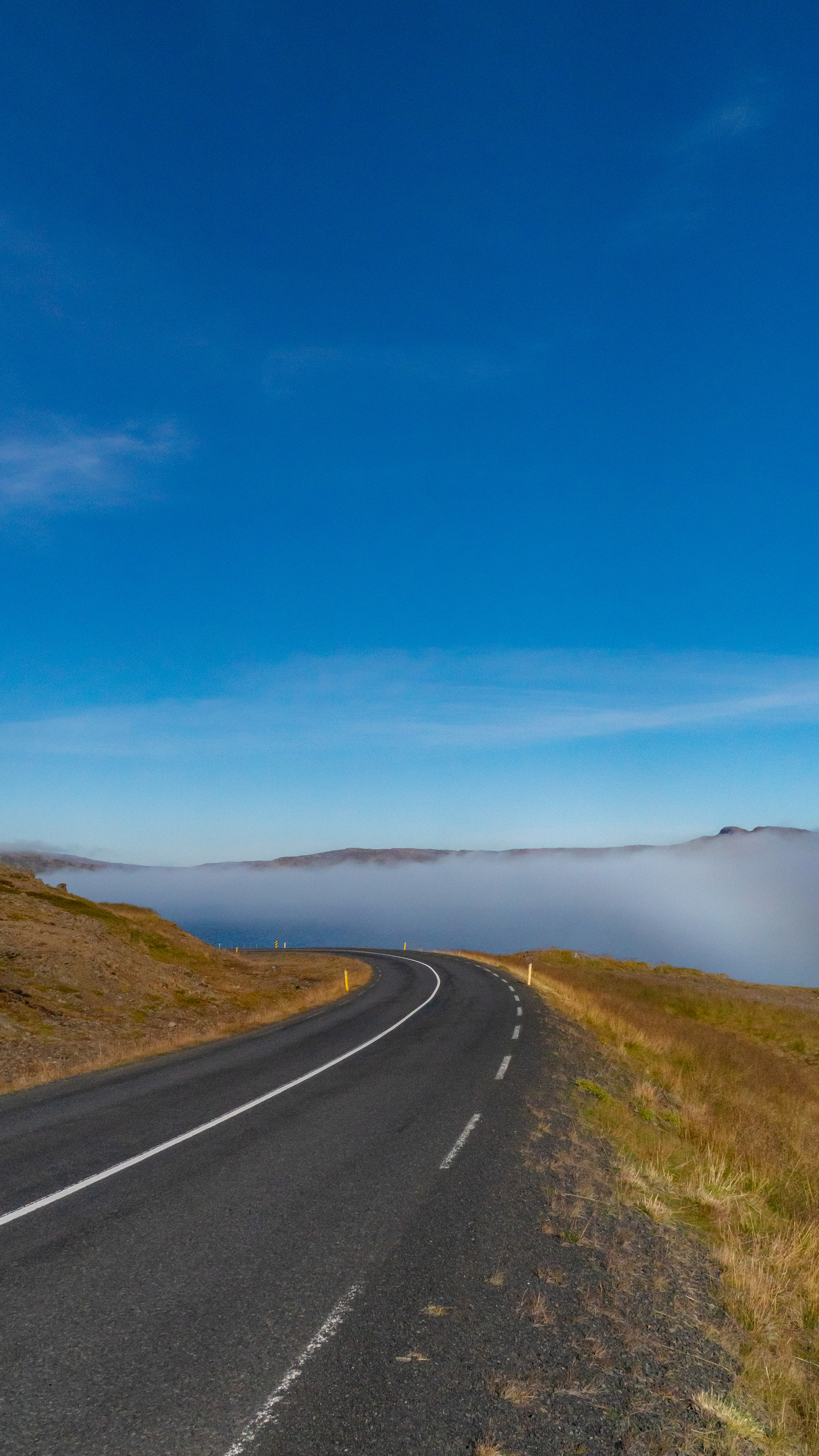
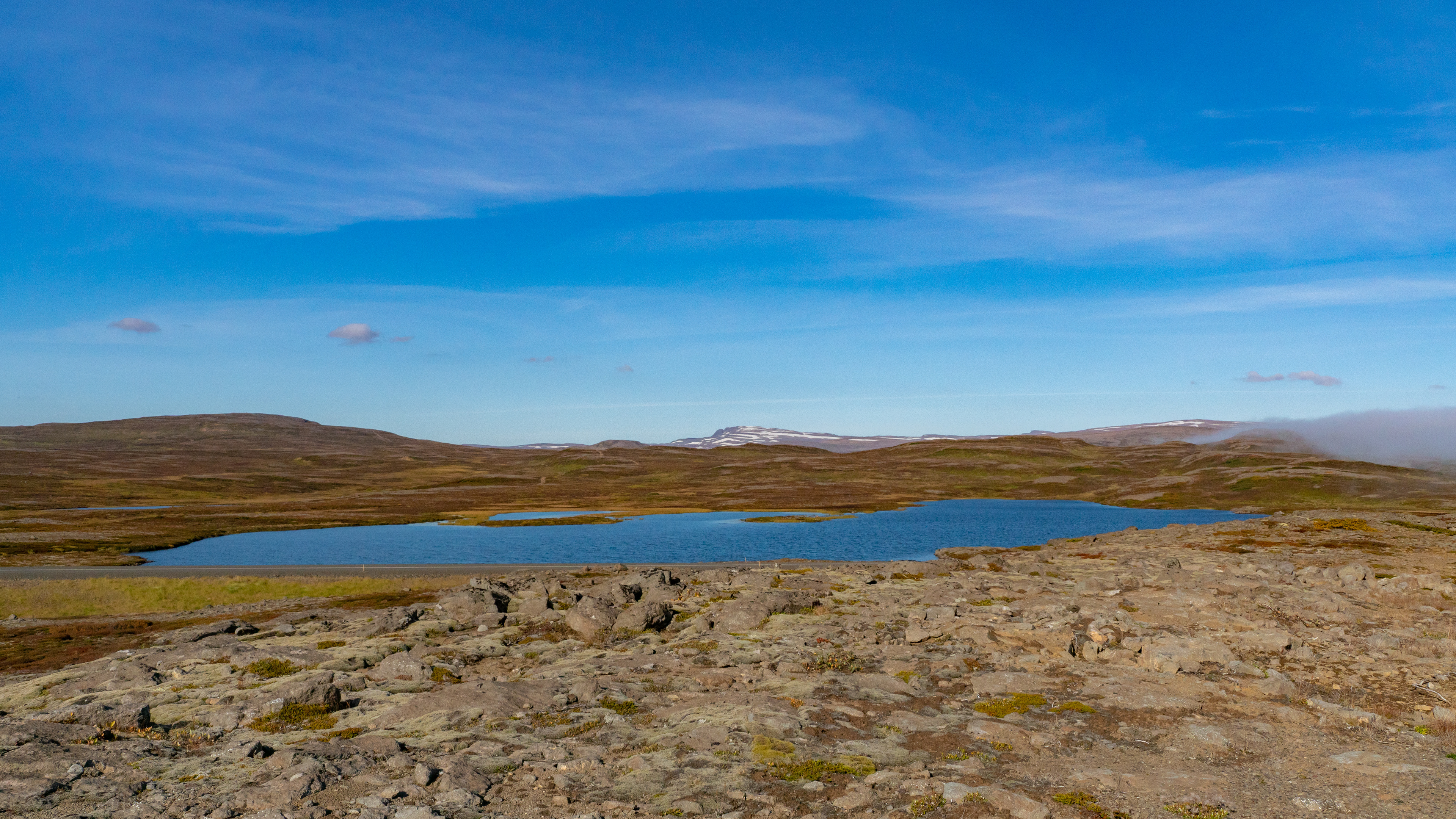
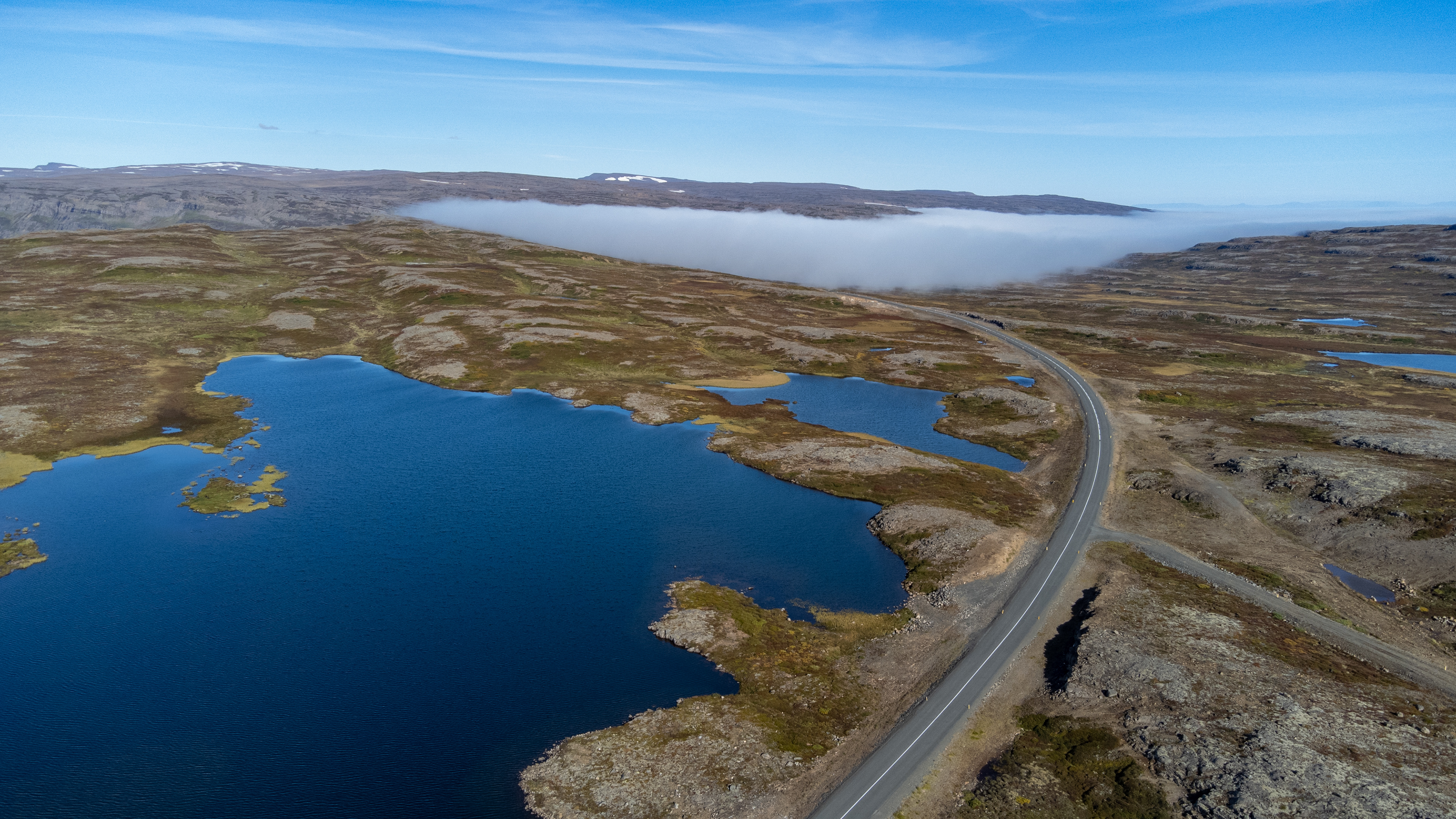
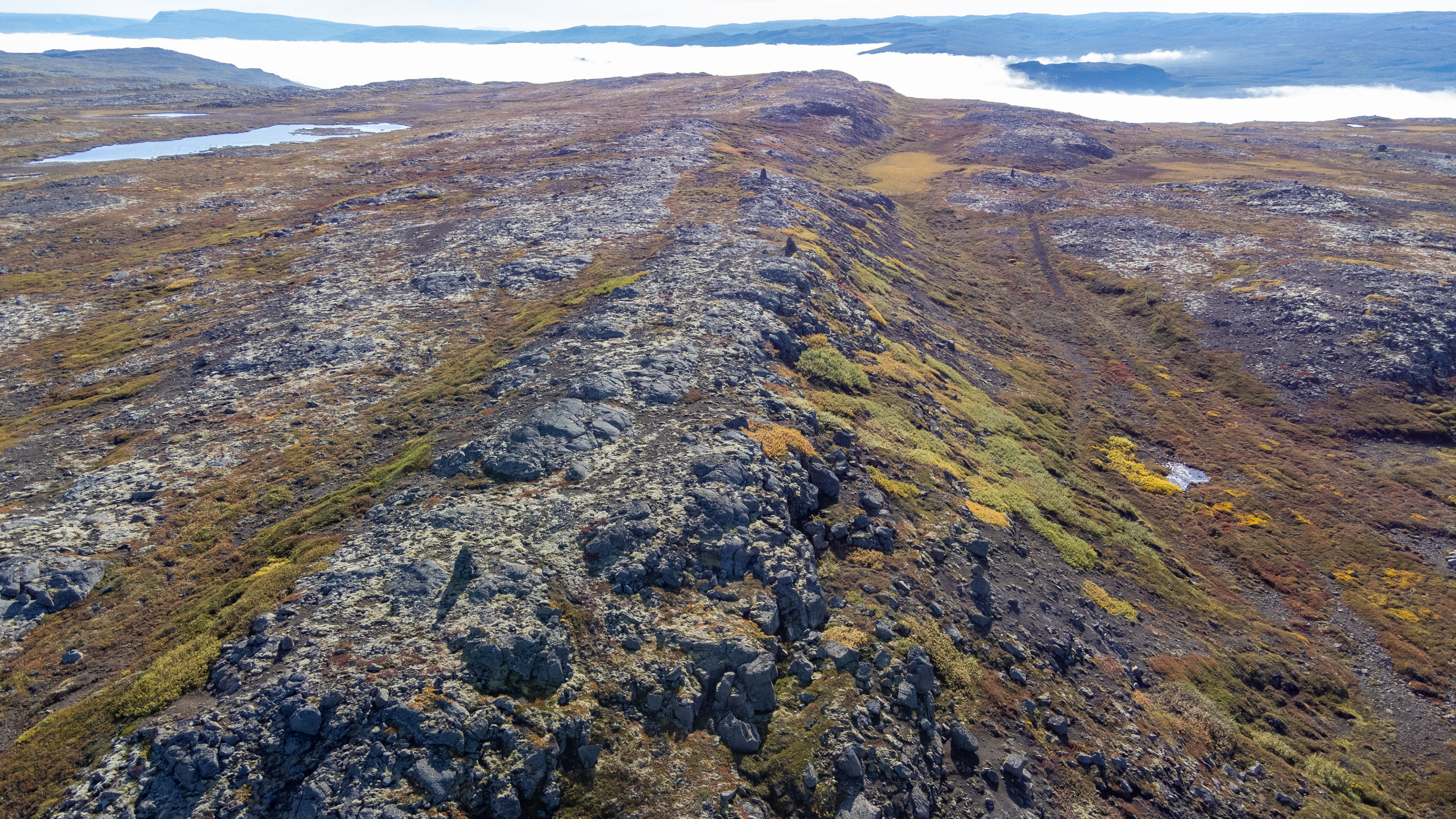
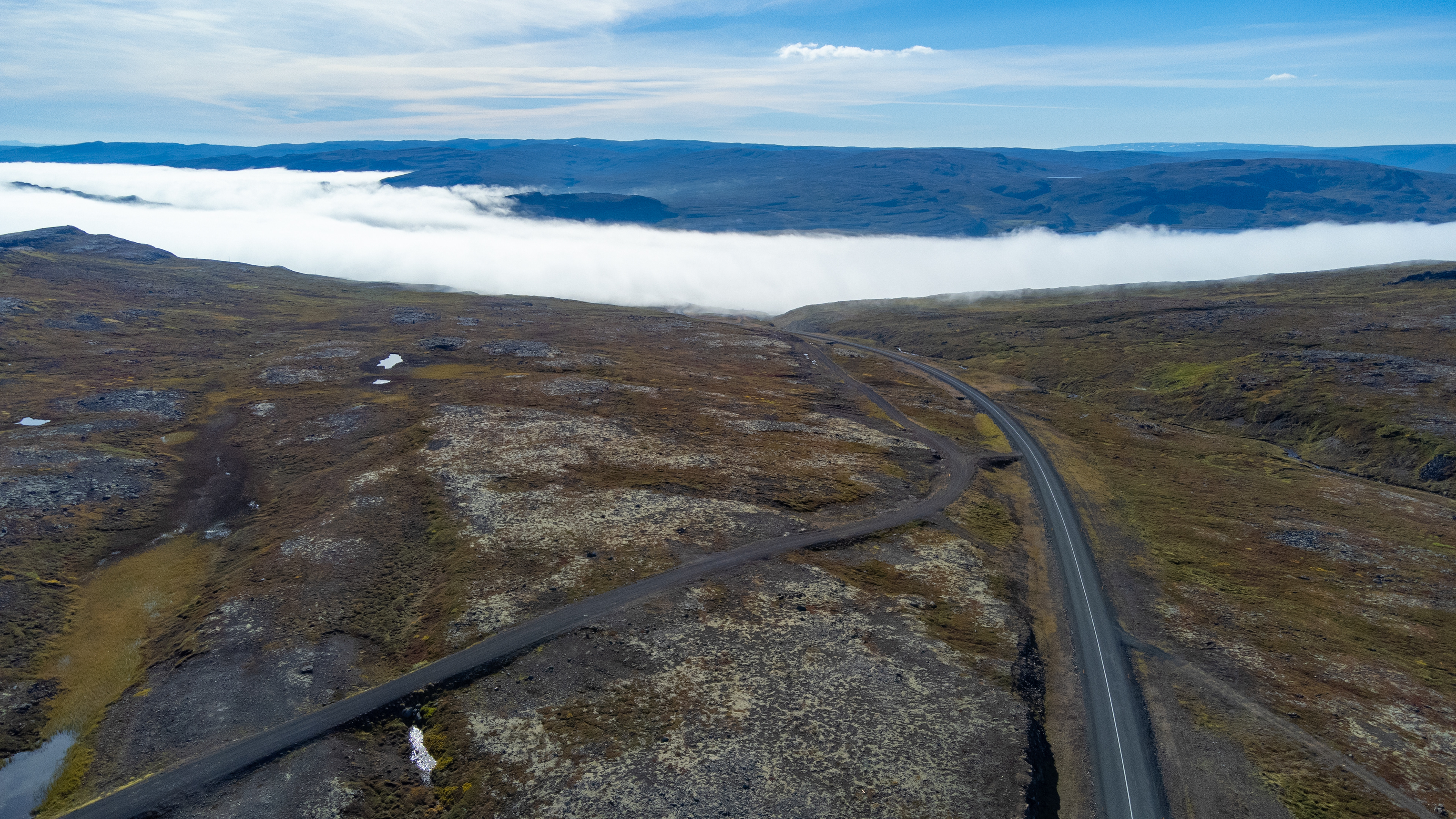
Shortly thereafter, we turned onto 61 towards Steingrímsfjörður, which again led upwards. Above the fog we had again a fantastic wide view. As already mentioned at the beginning, this game between fog and sun should repeat itself a few more times.
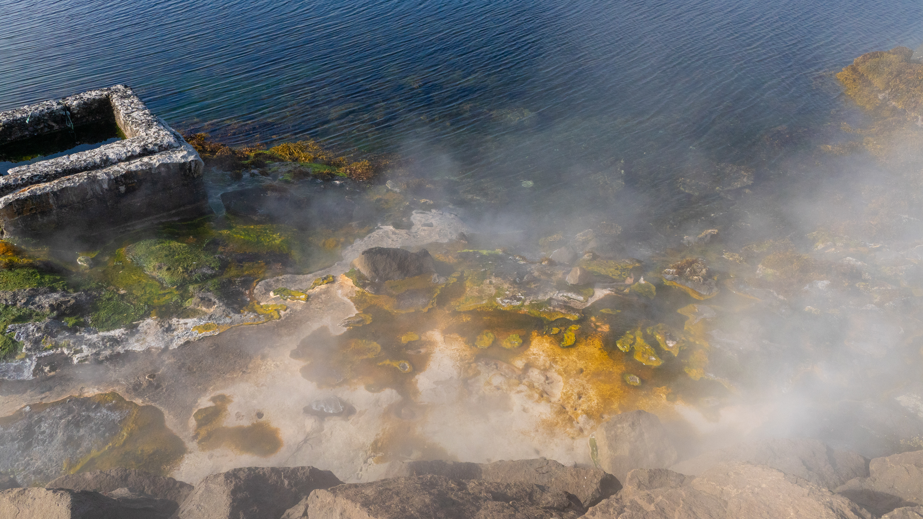
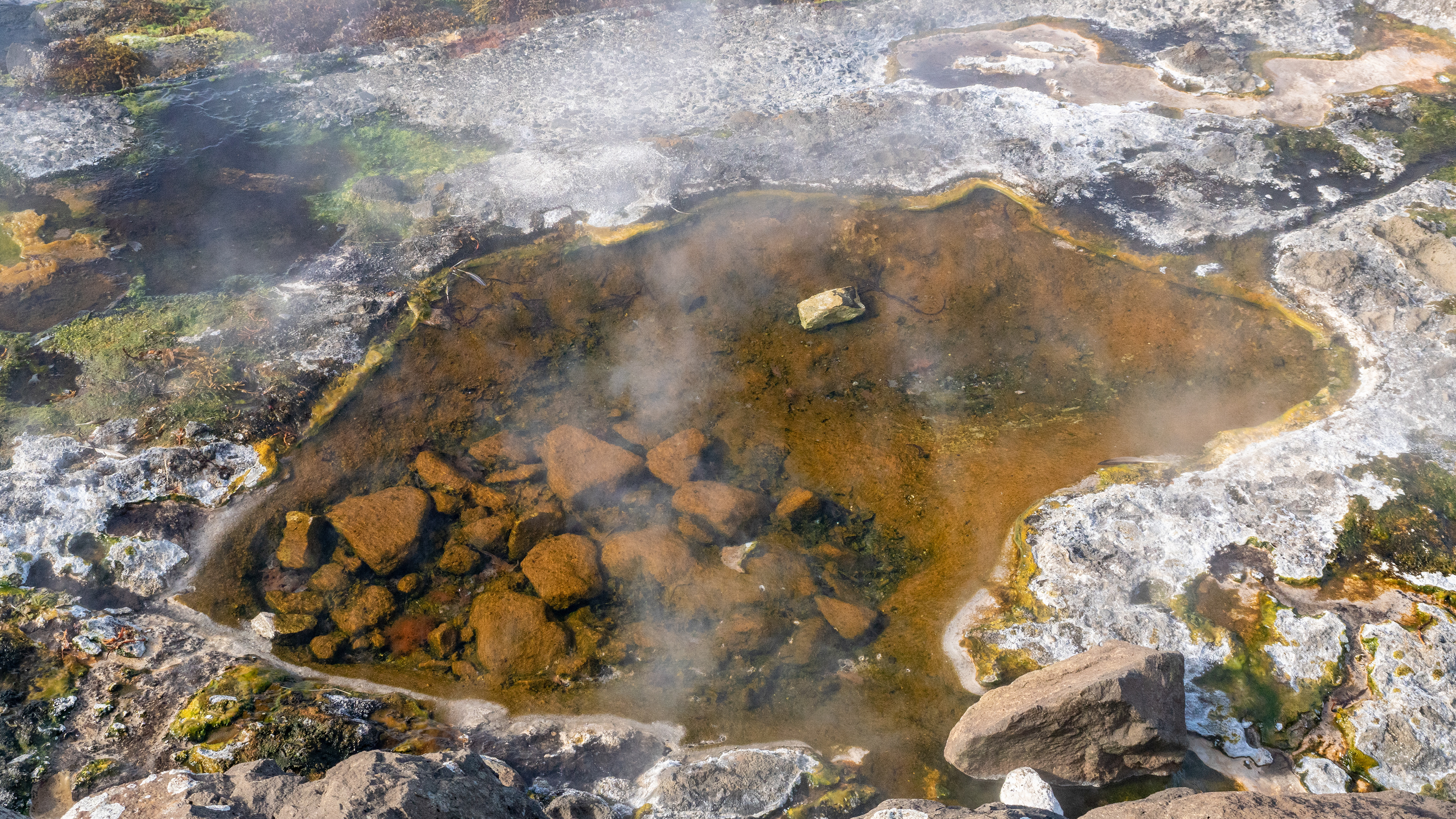
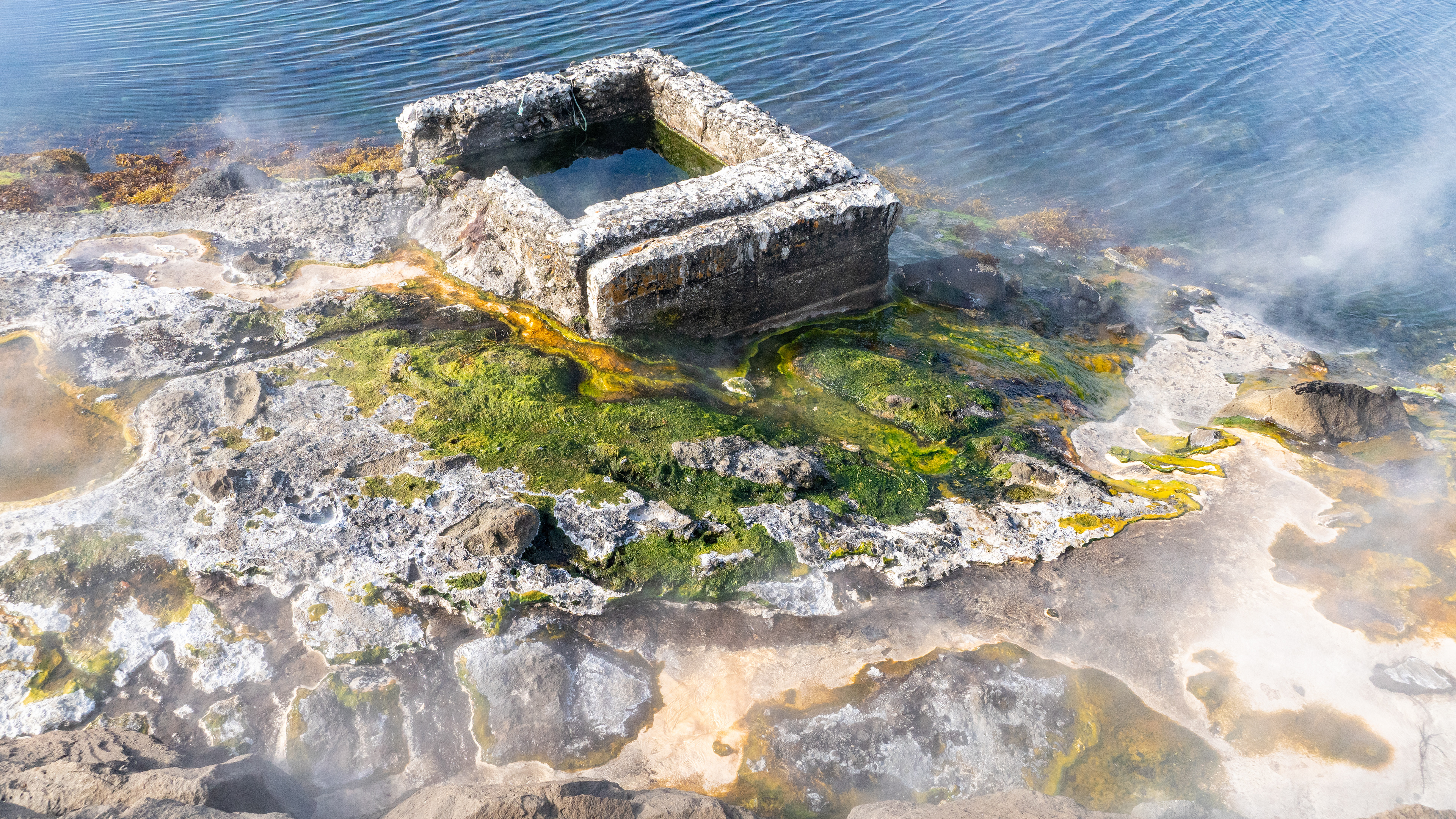
Near Hveravík, on the 645, we discovered a hot spring between the road and the sea.
Discovering is perhaps an exaggeration, the rising steam could be seen from far away.
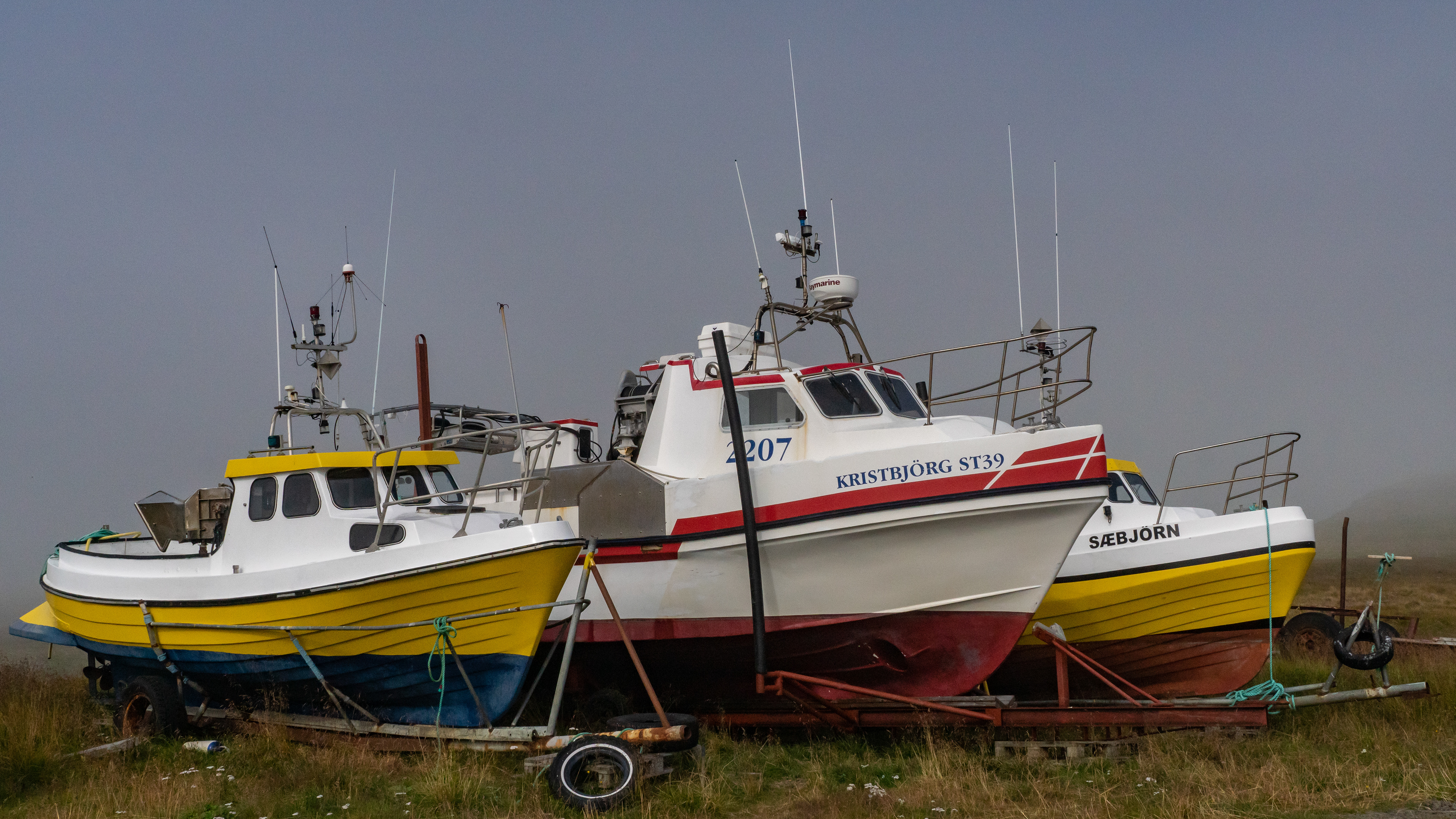
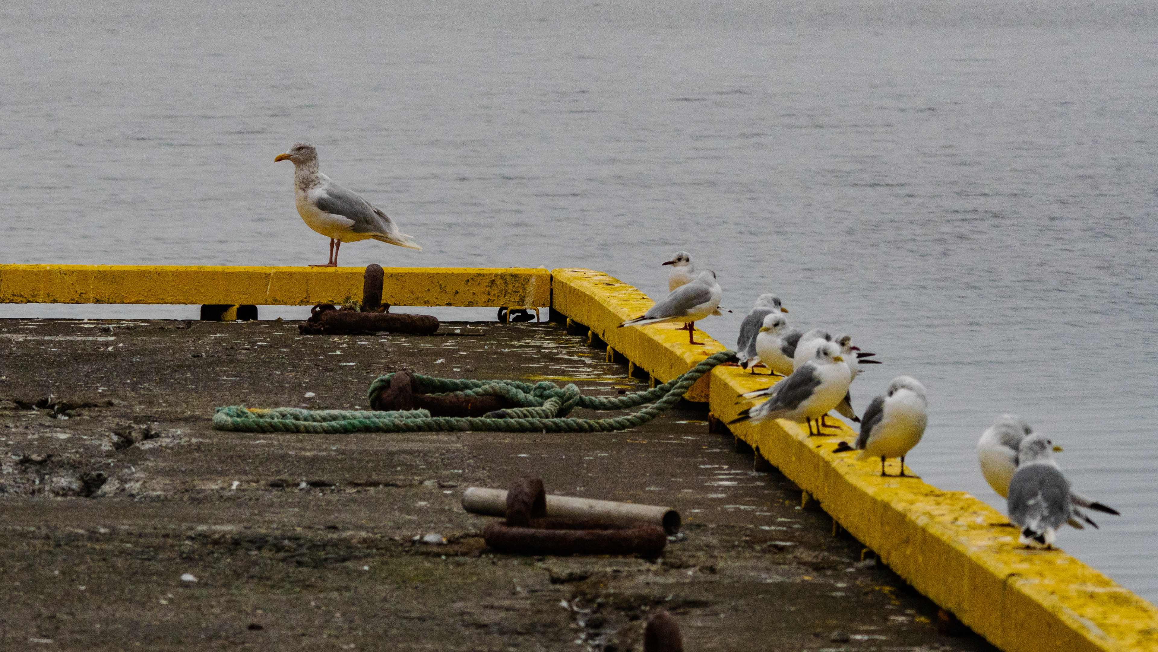
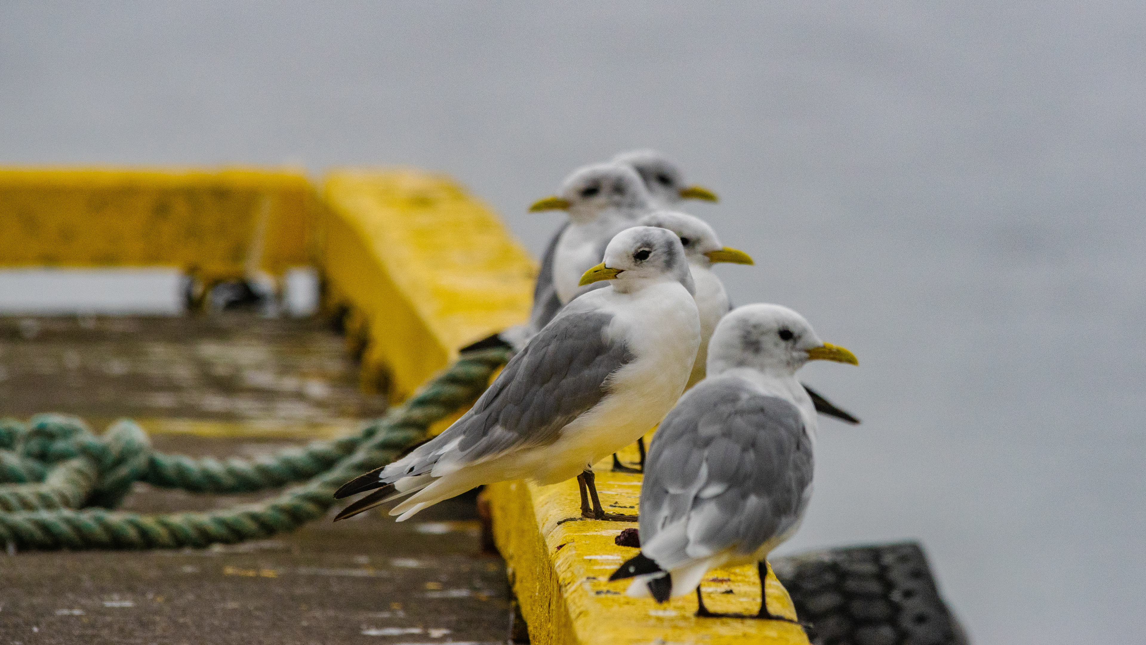
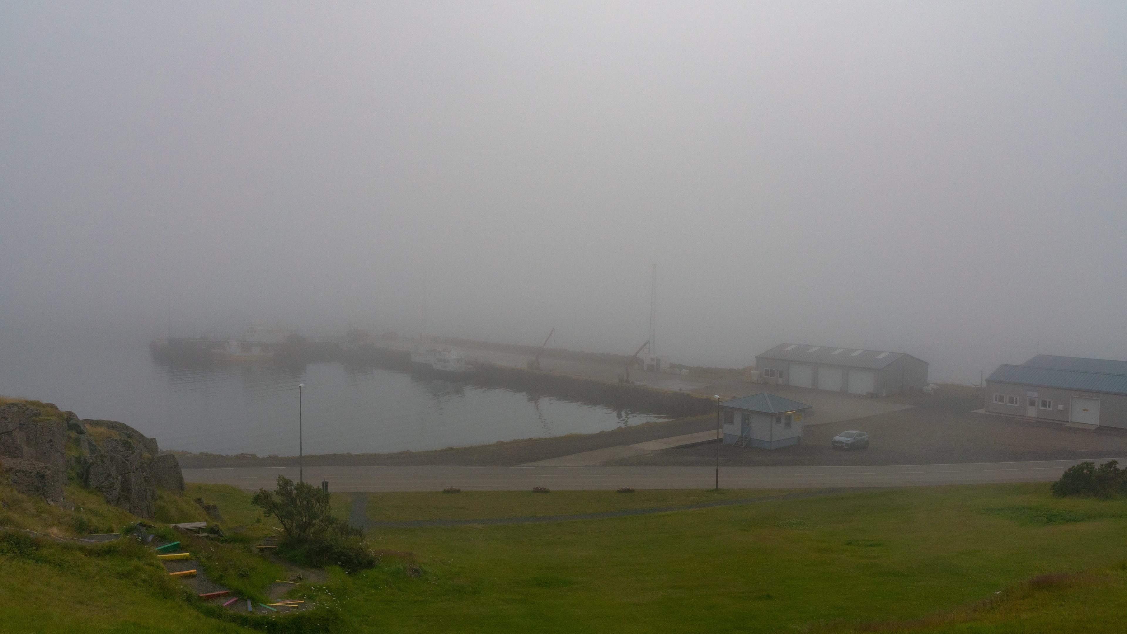
Before you get to Drangsnes, there is a small harbor that most likely belongs to it.
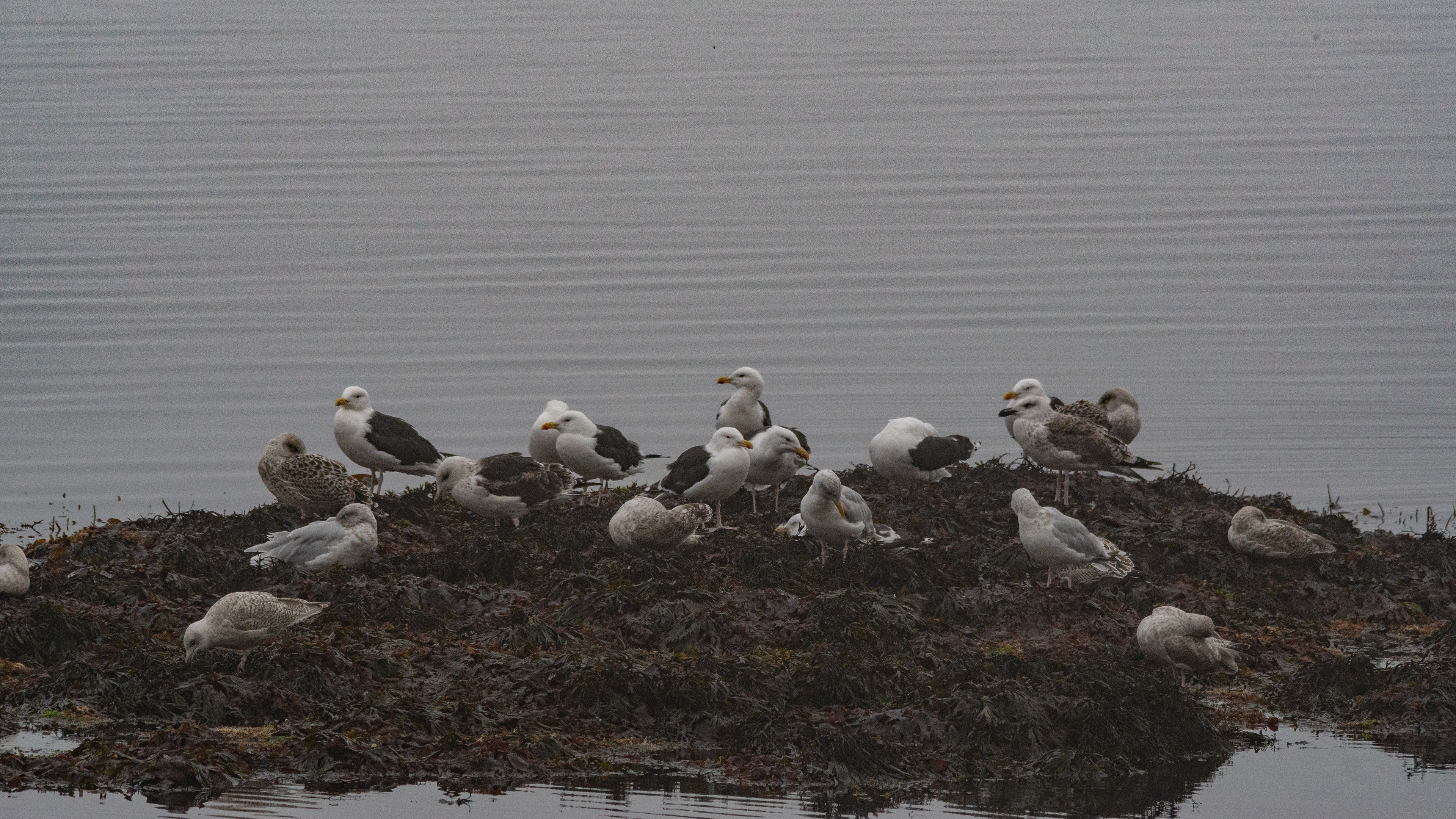
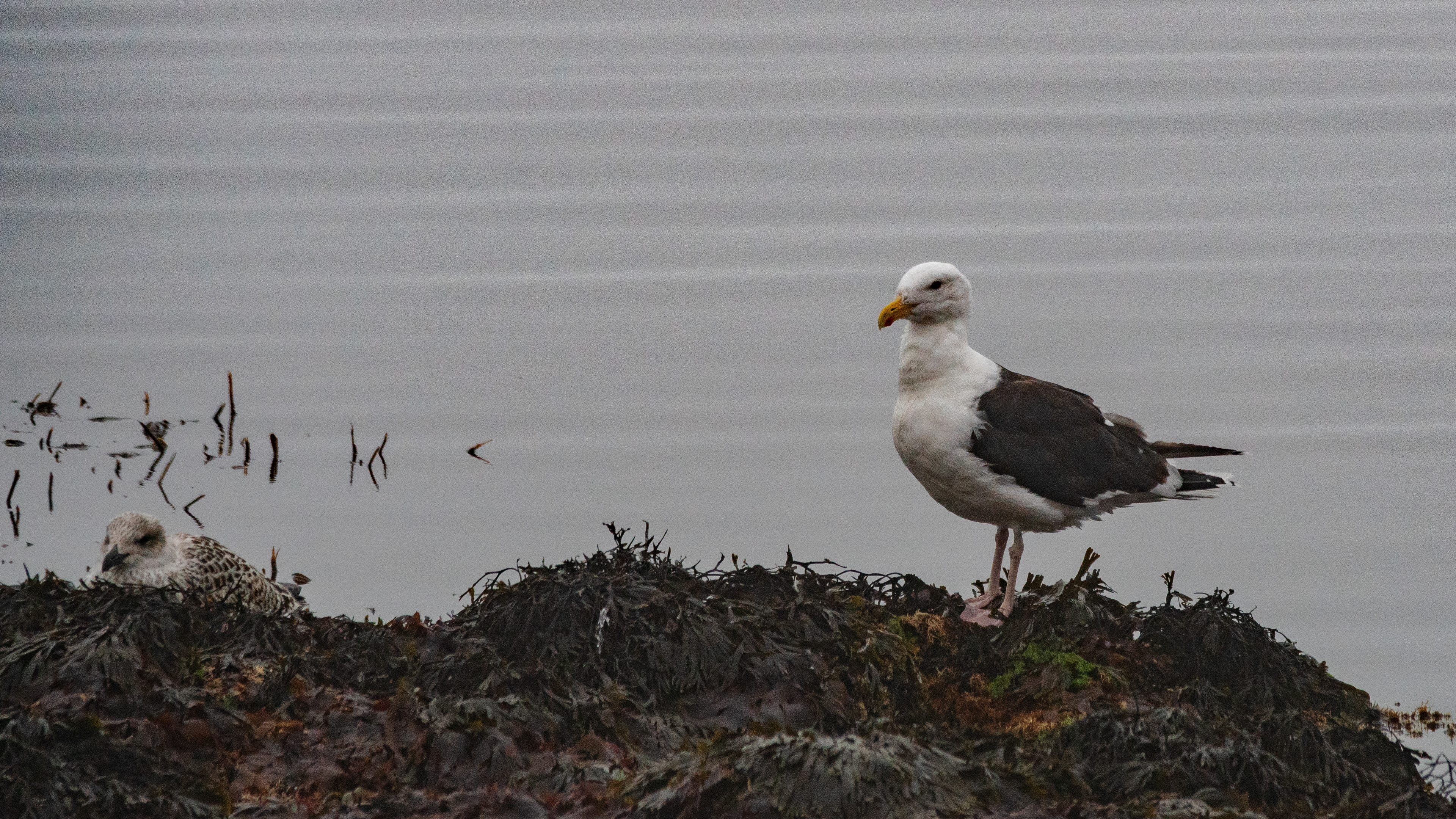
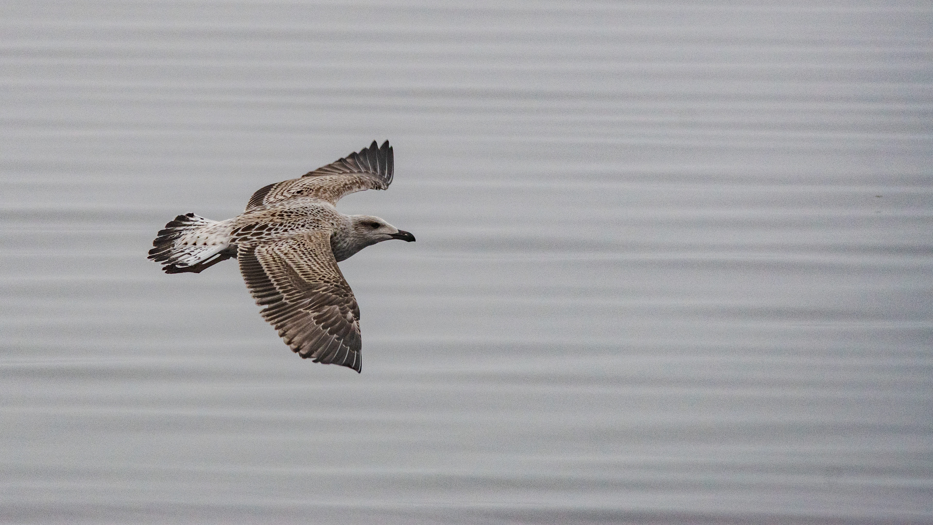
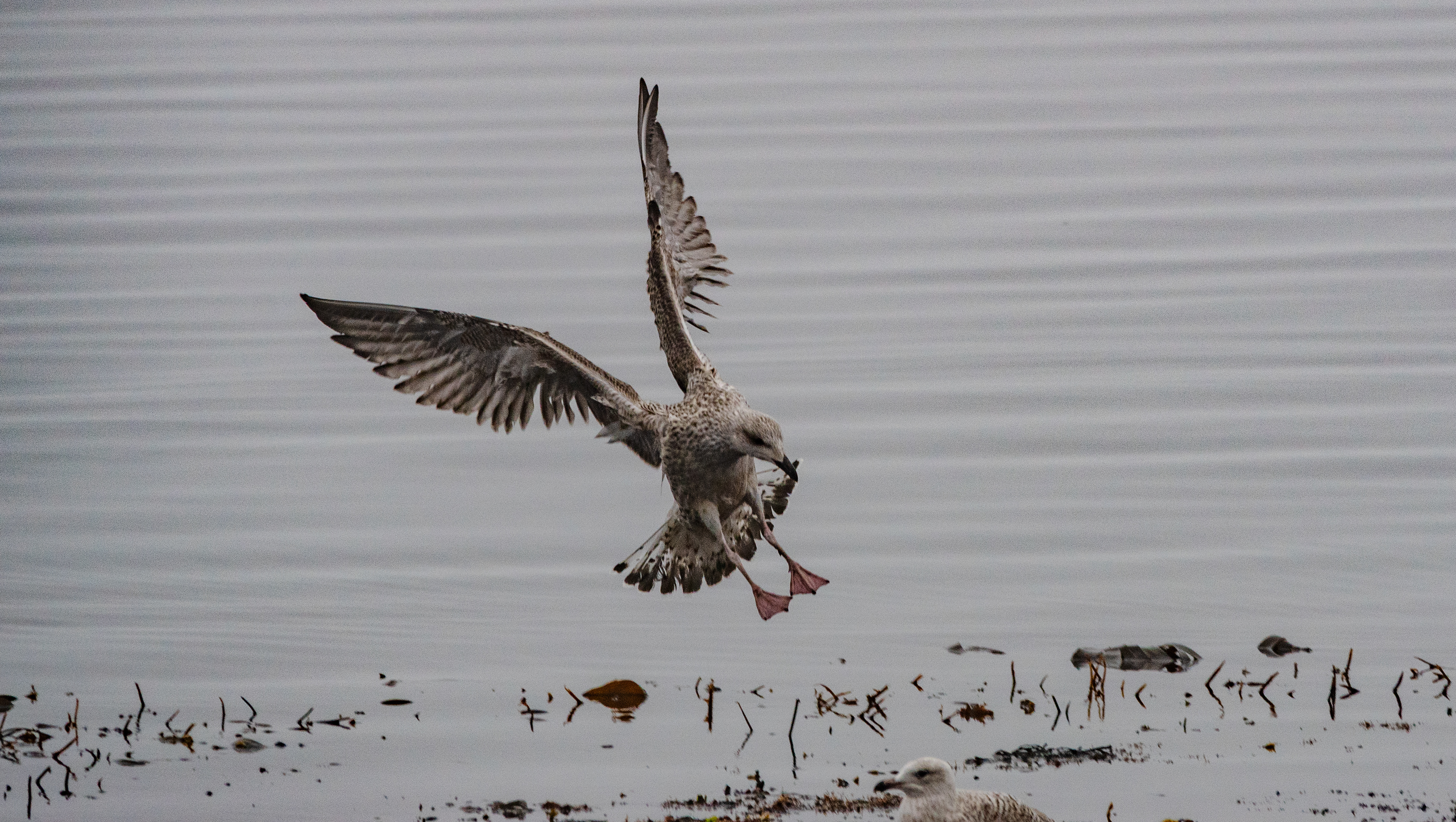
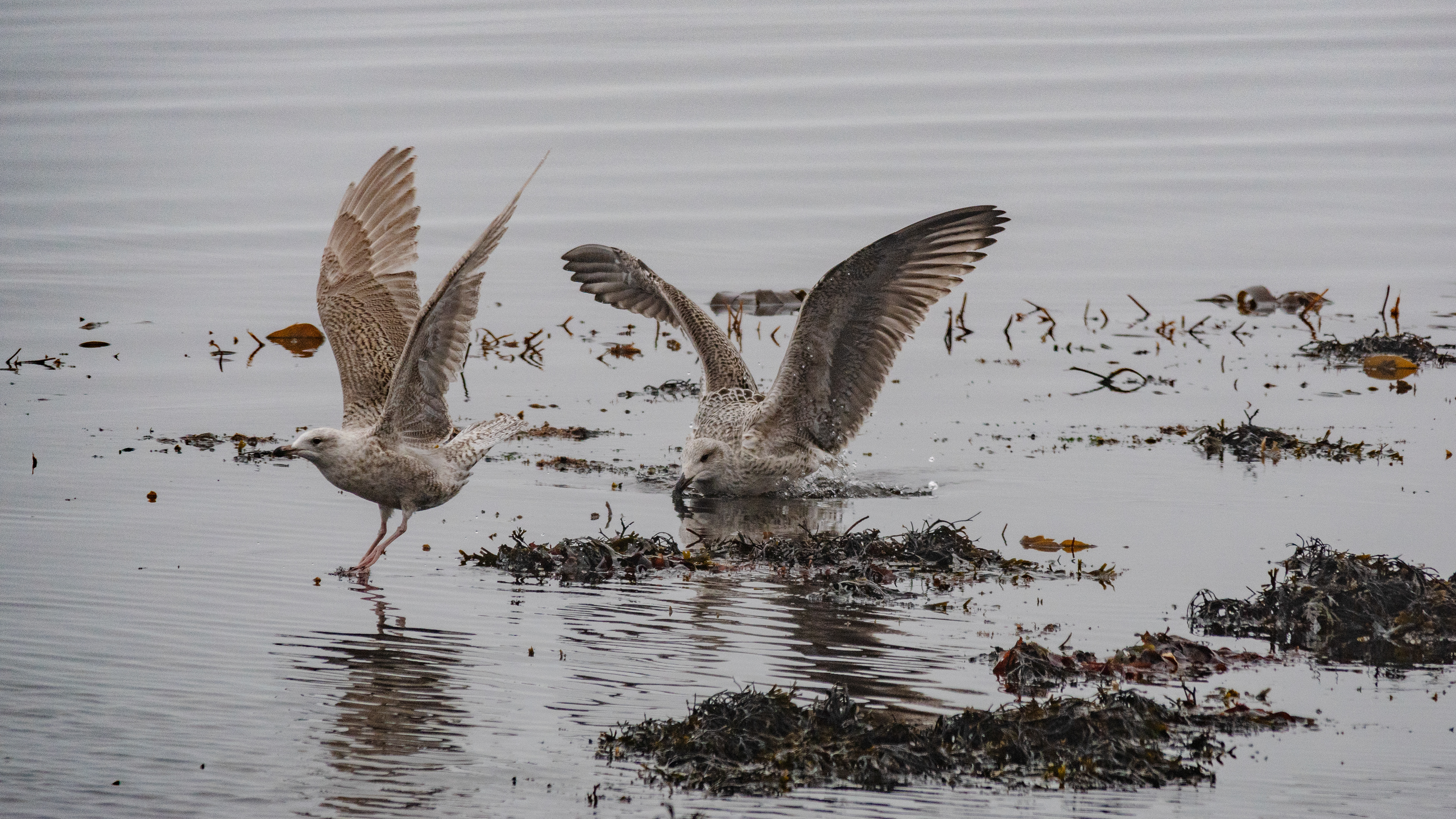
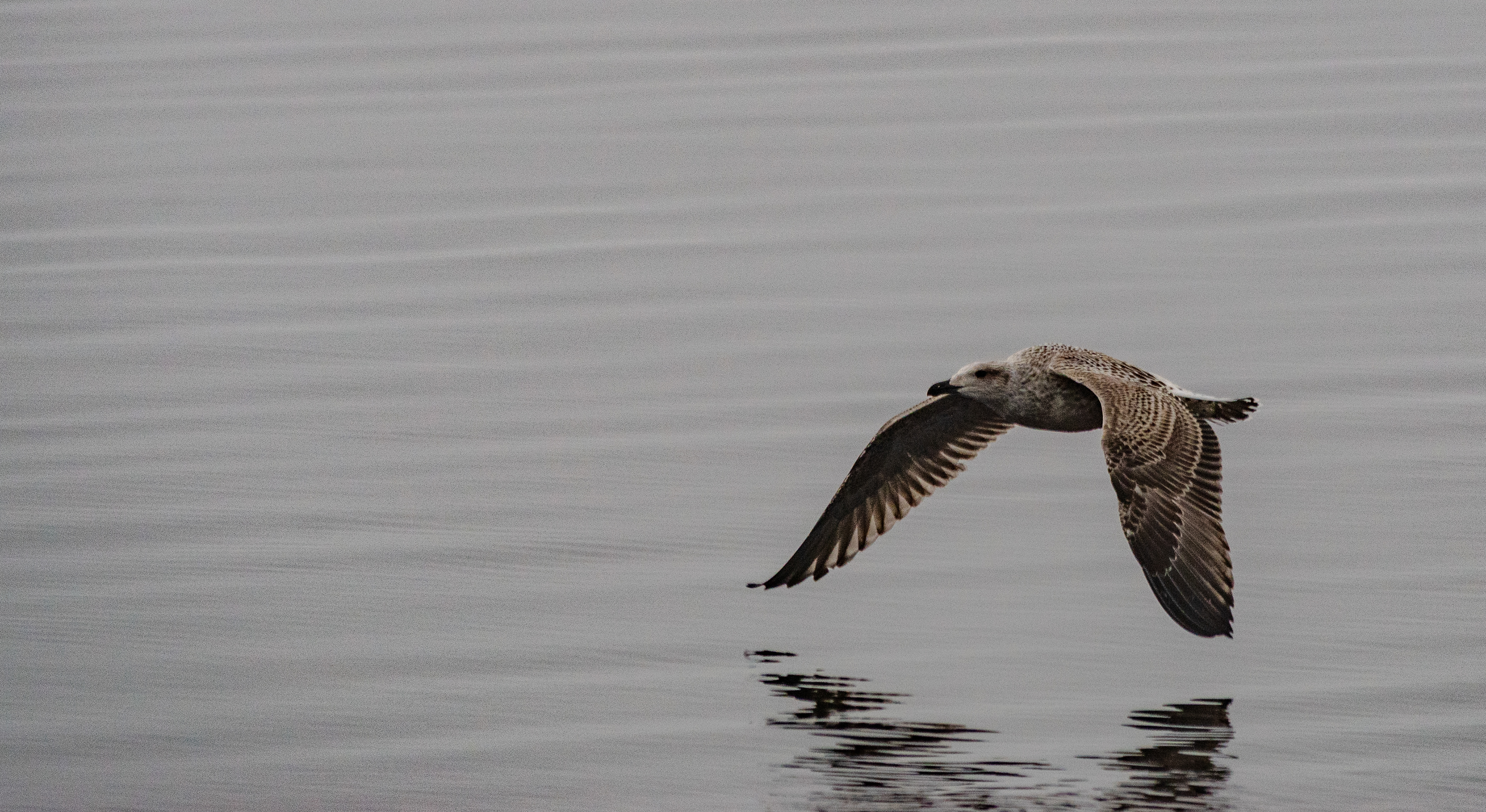
The main reason for visiting Drangsnes was the offshore island of Grimsey - the same name as the island far north, far off the coast of Iceland, which is home to puffins and is already in the Arctic Circle.
The island off Drangsnes is a nature reserve, home to many species of birds and also to puffins.
However, since the whole coast was in dense fog, we skipped a boat trip to the island.
So the birds, on the shore of the small pier, had to serve for photos and we left without pictures of puffins.
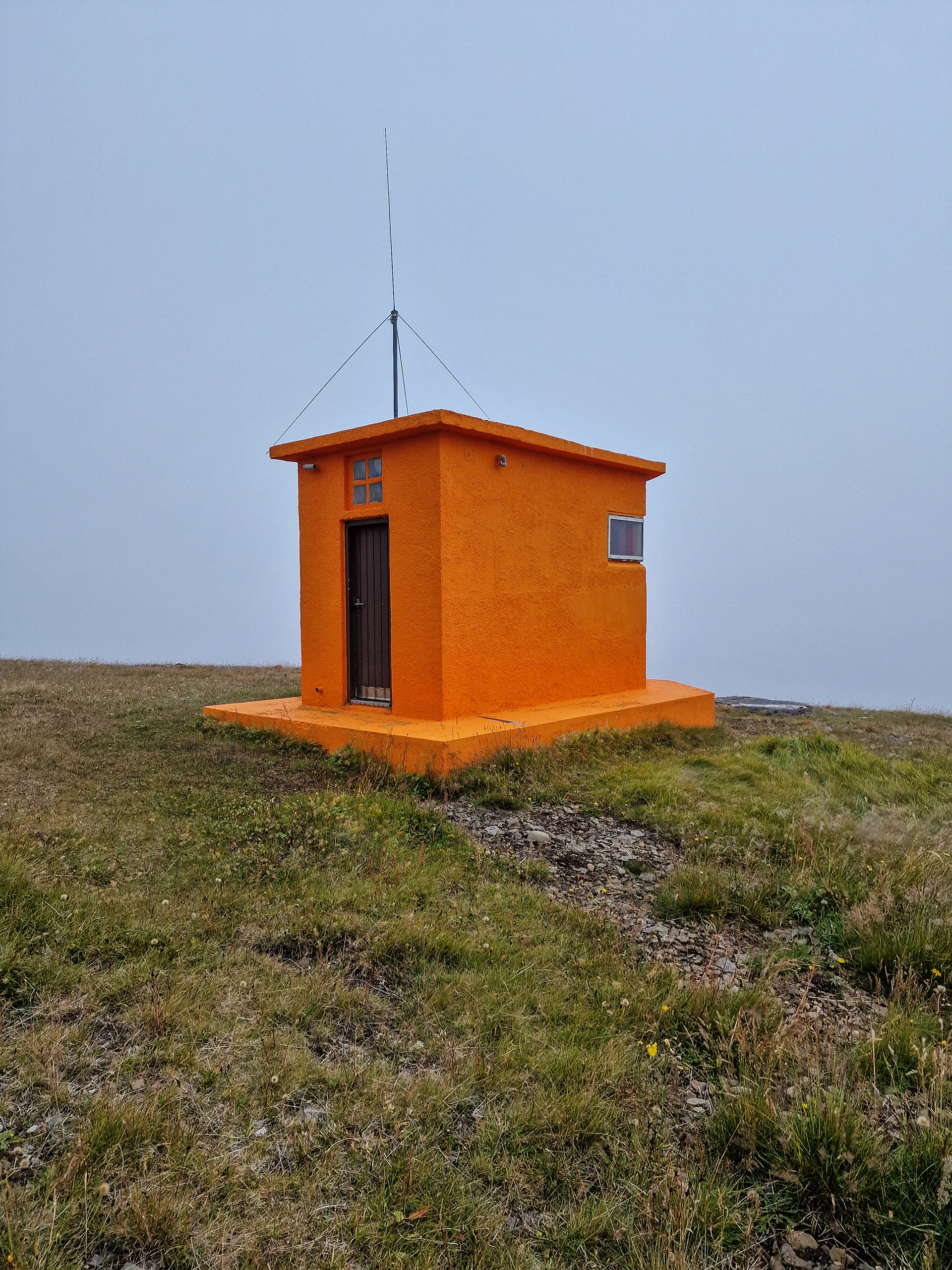
Before we left Drangsnes, we stopped briefly at the lighthouse, probably one of the smallest we have seen so far.
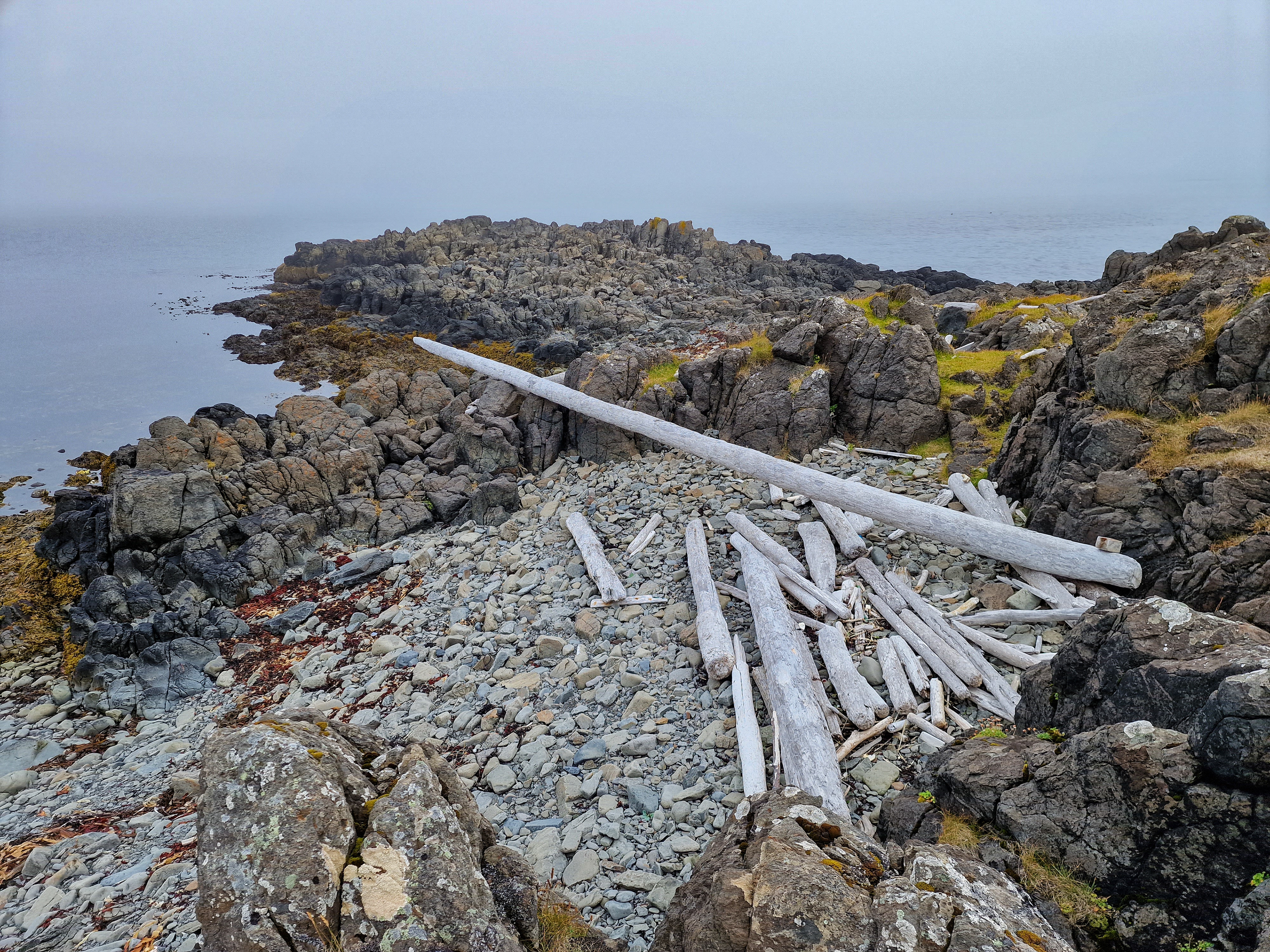
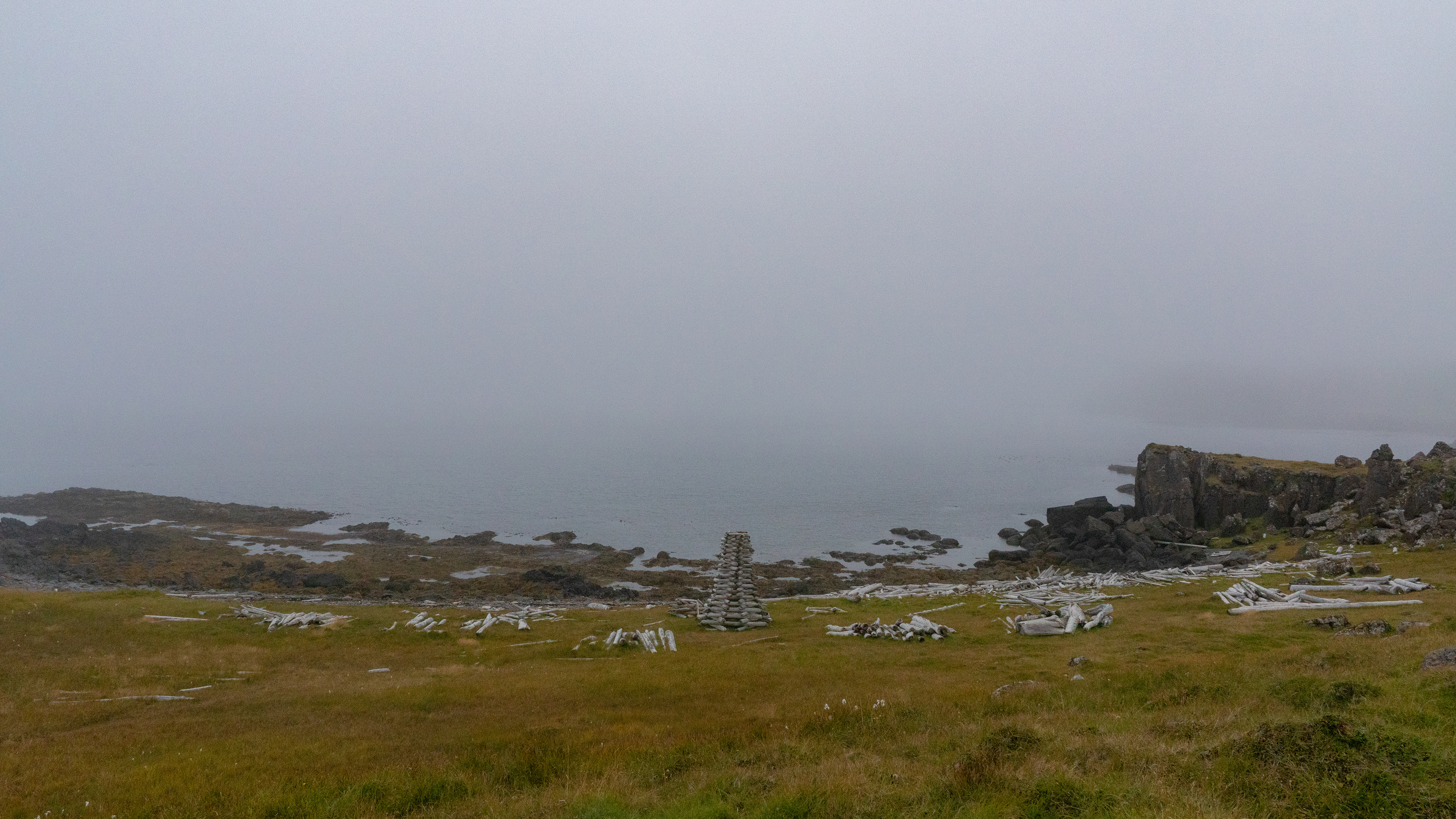
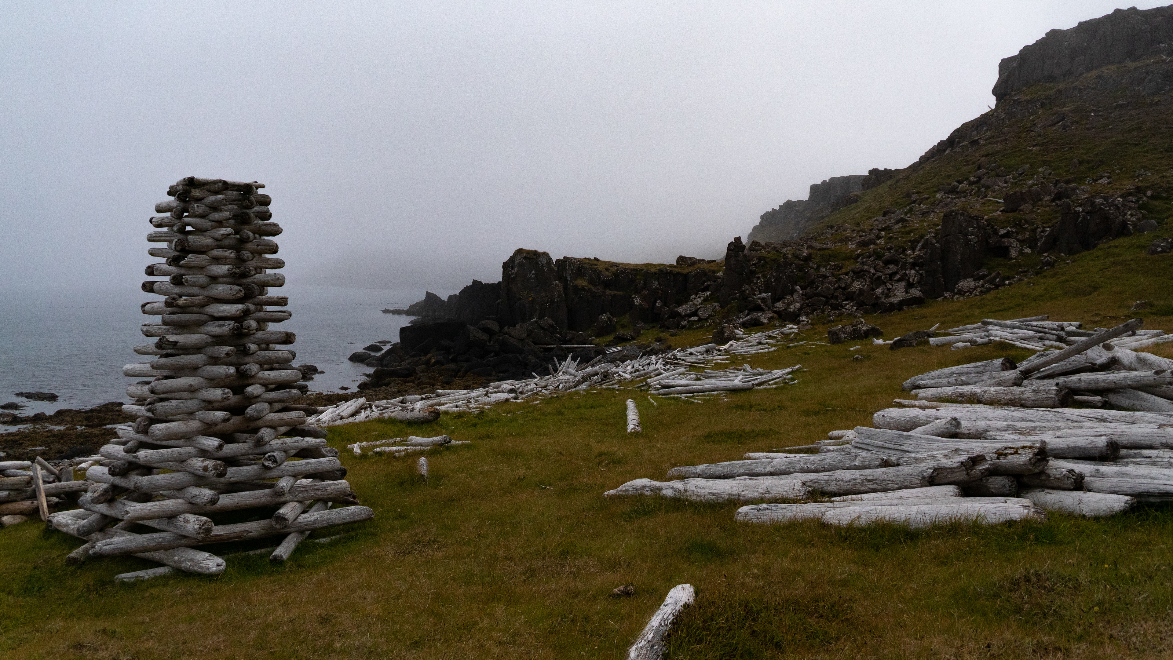
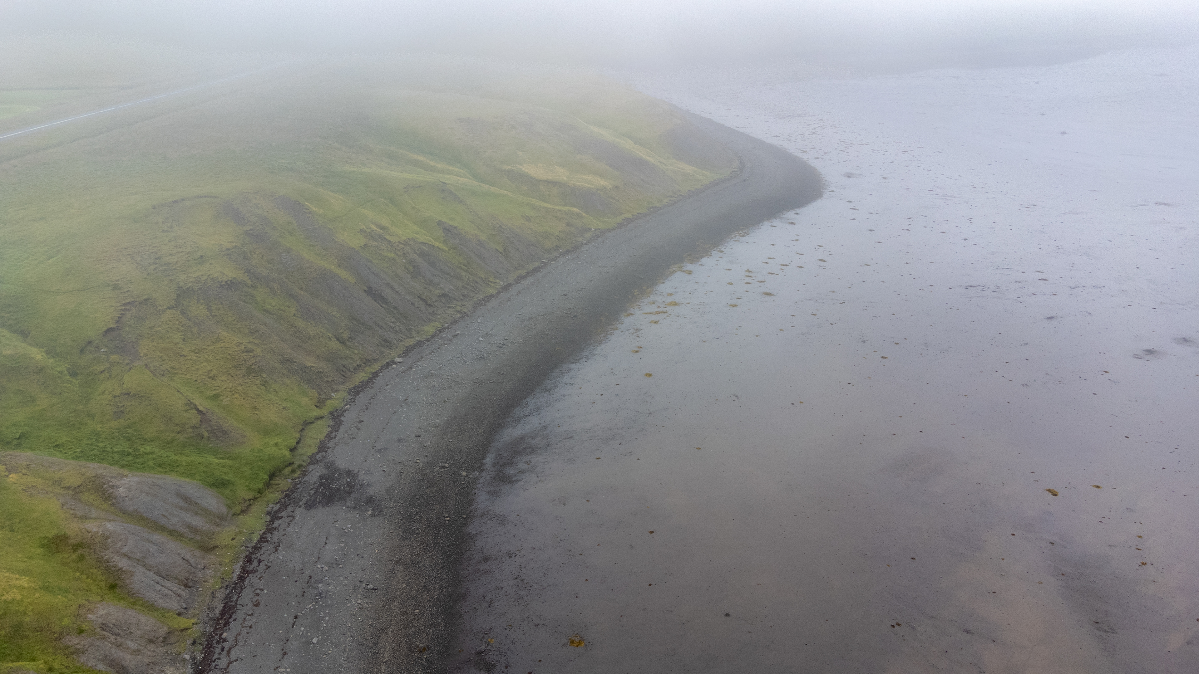
The route then became interesting again at the north-eastern coast. The land over the whole length vast amounts of driftwood, although not marked as a sight, but we found it exciting.
So we took time for a little hike from the road down to the coastline.
So we took time for a little hike from the road down to the coastline.
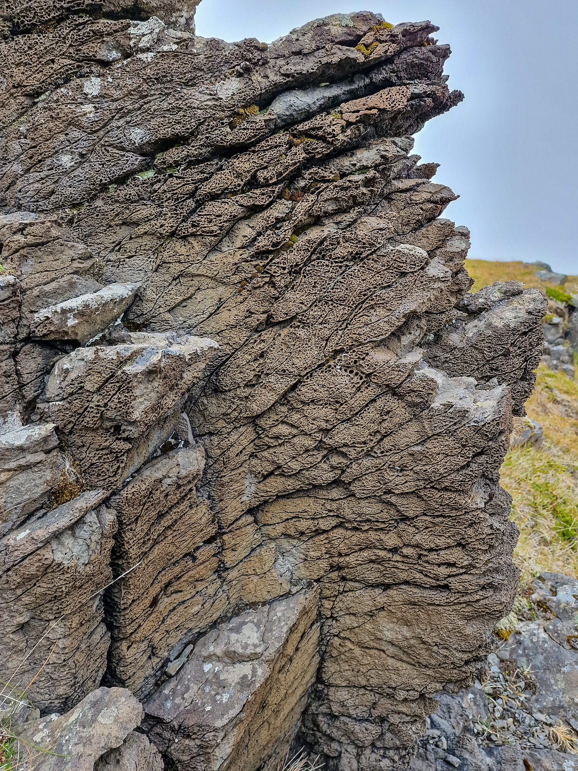
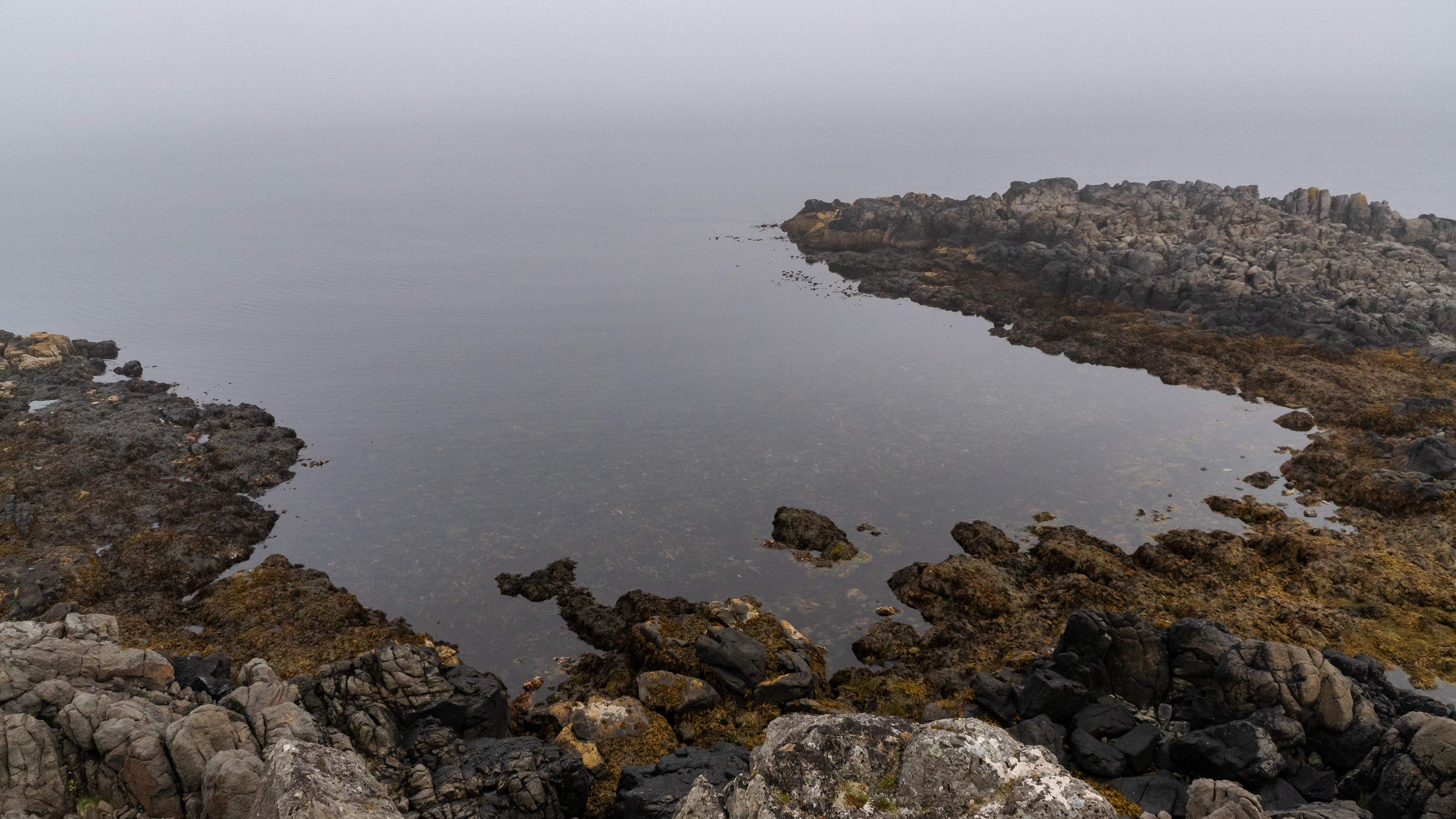
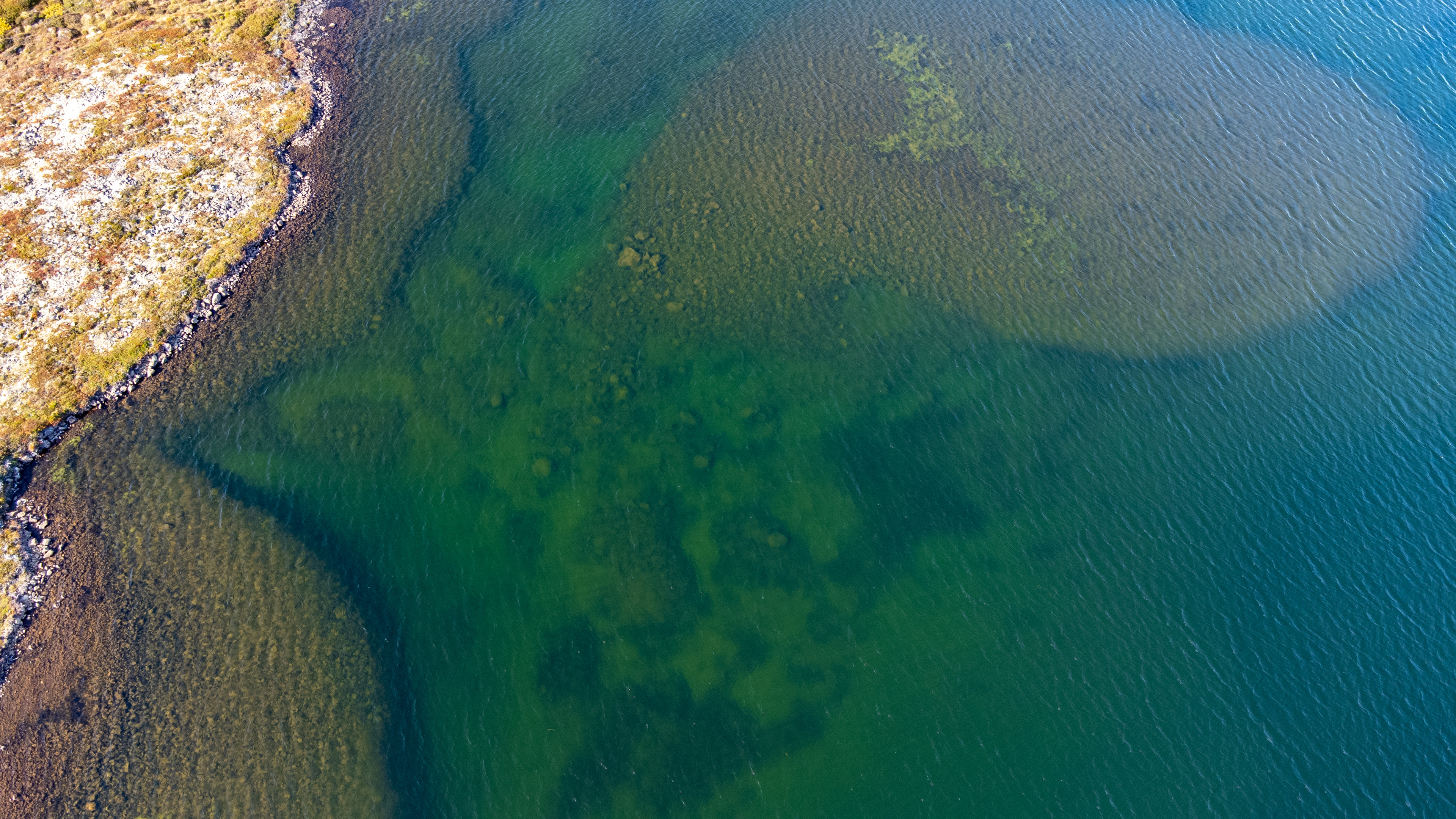
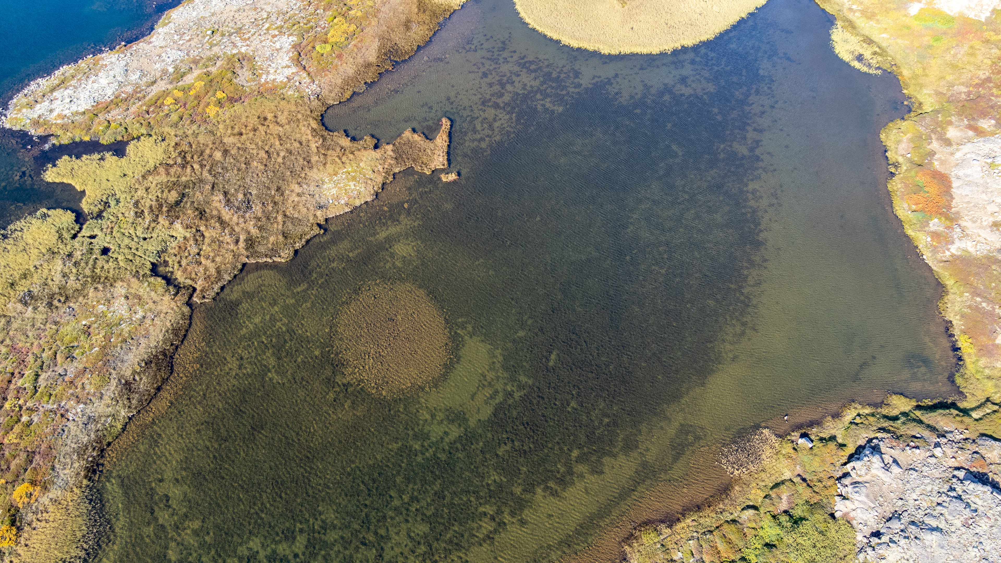
There were various rock formations to see, with almost mirror-smooth bays.
I was particularly fascinated by the rock that looked like cut and so you could see the air pockets inside the rock. Like the chocolate Luflée from Milka. In later research on this stretch of coast, we realized that you can see the driftwood along the coast in all the bays in the satellite images from Google.
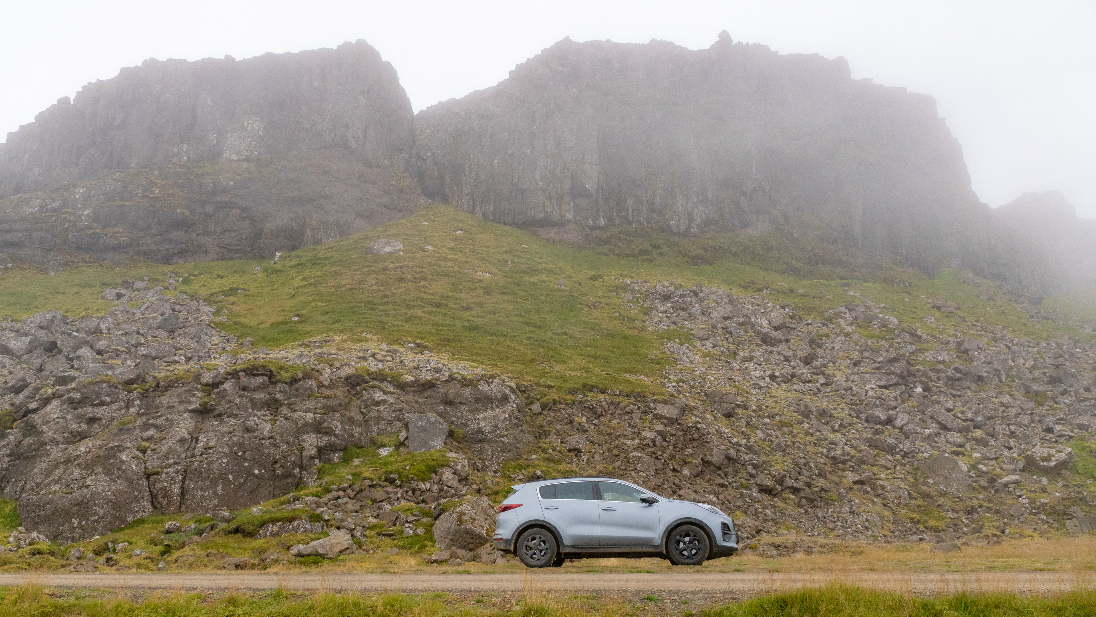
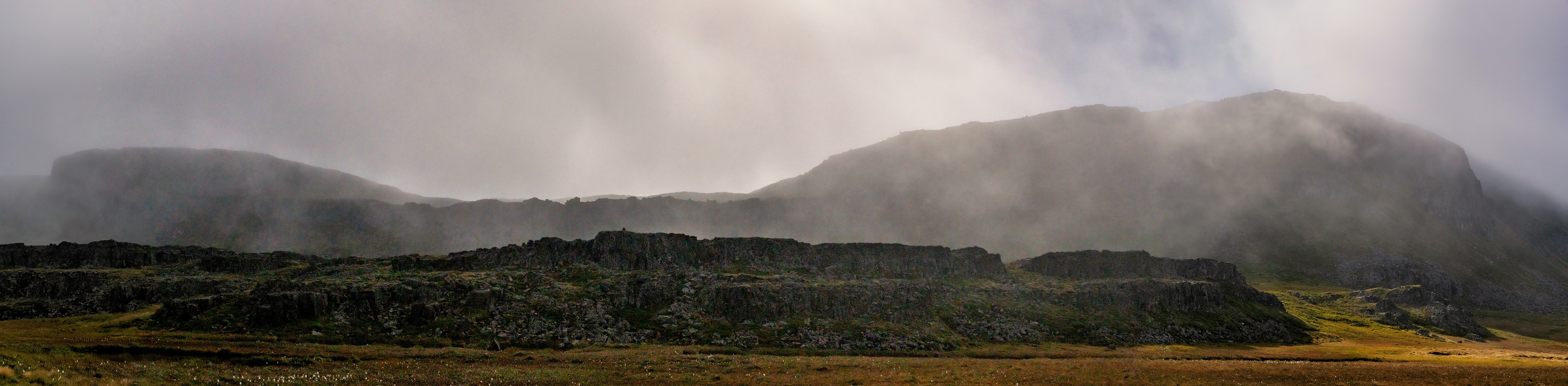
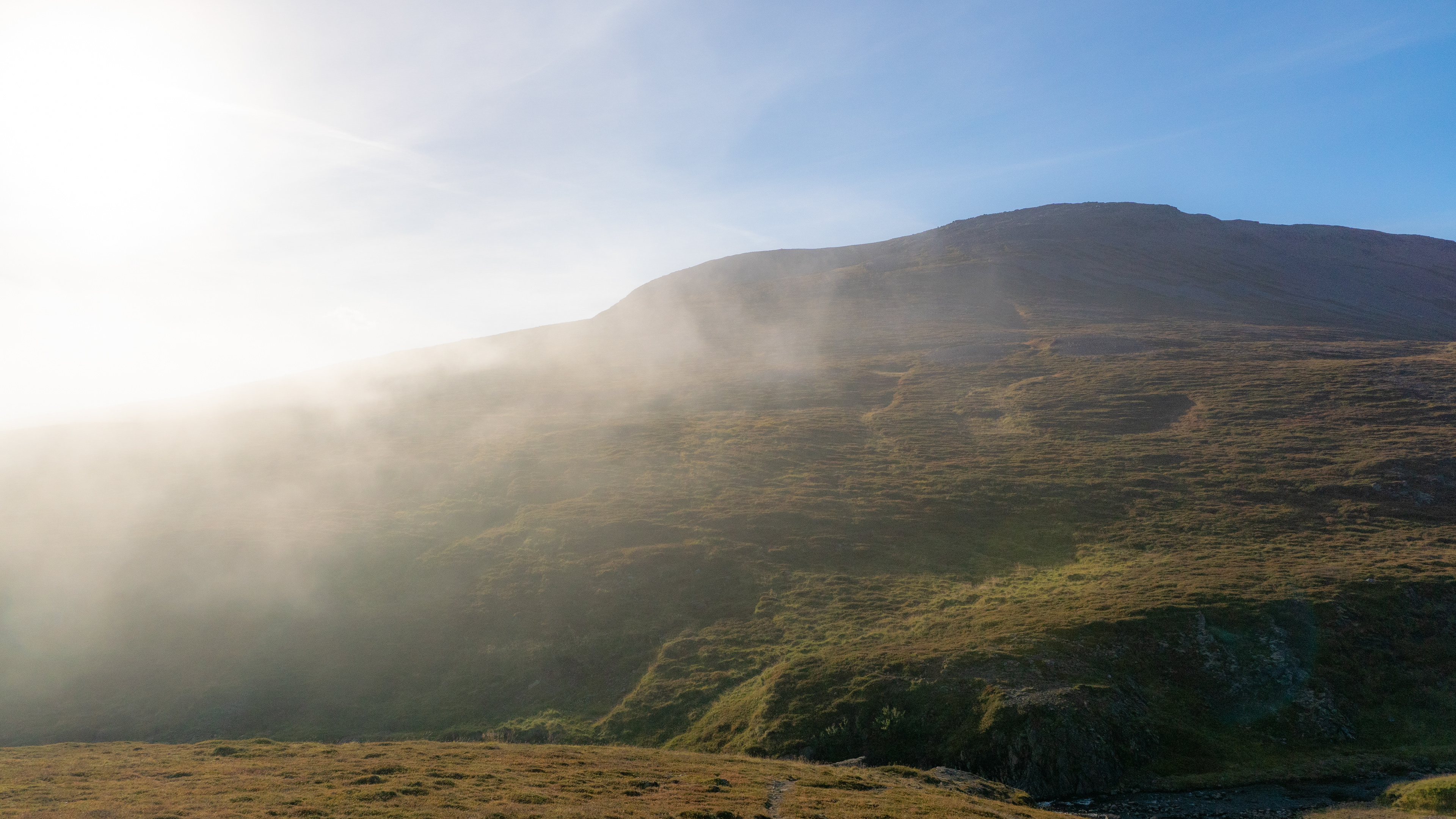
On the other hand, massive rock walls built up above the road, which ended in an impressive rock wall at the end of the section. Its upper part was hidden in the mist.
The pictures hardly showed the true size, the panorama was still the best choice.
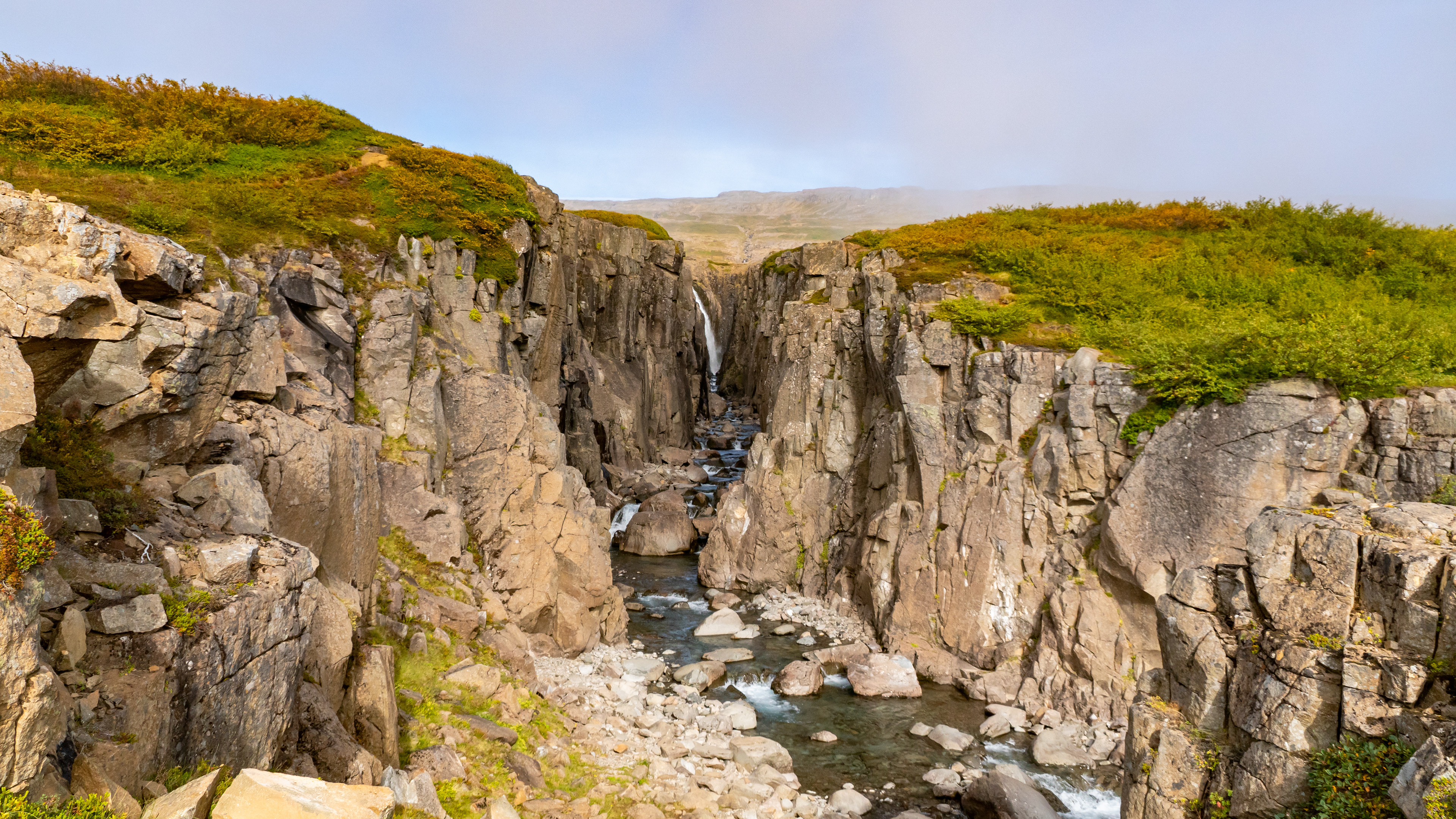
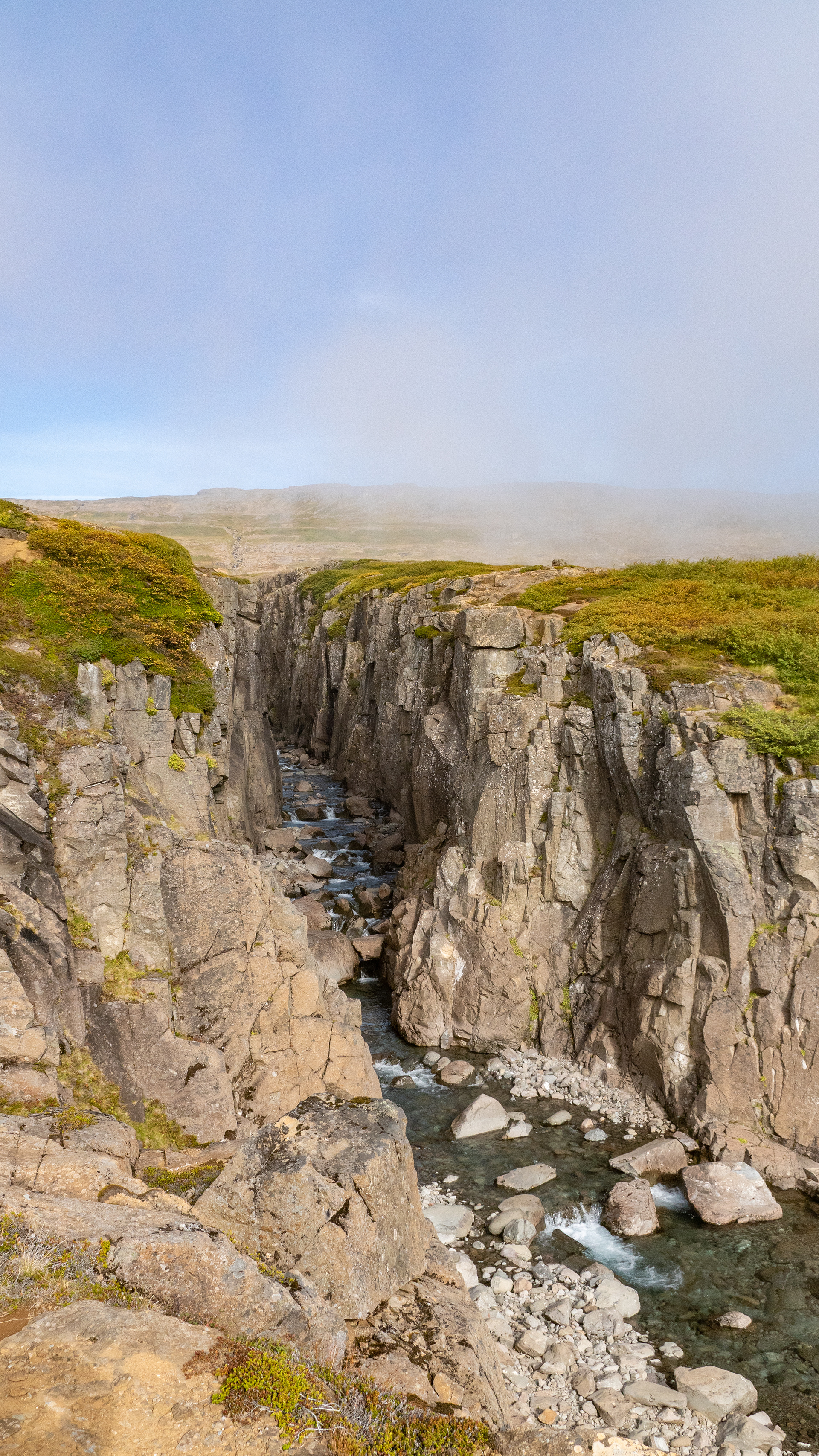
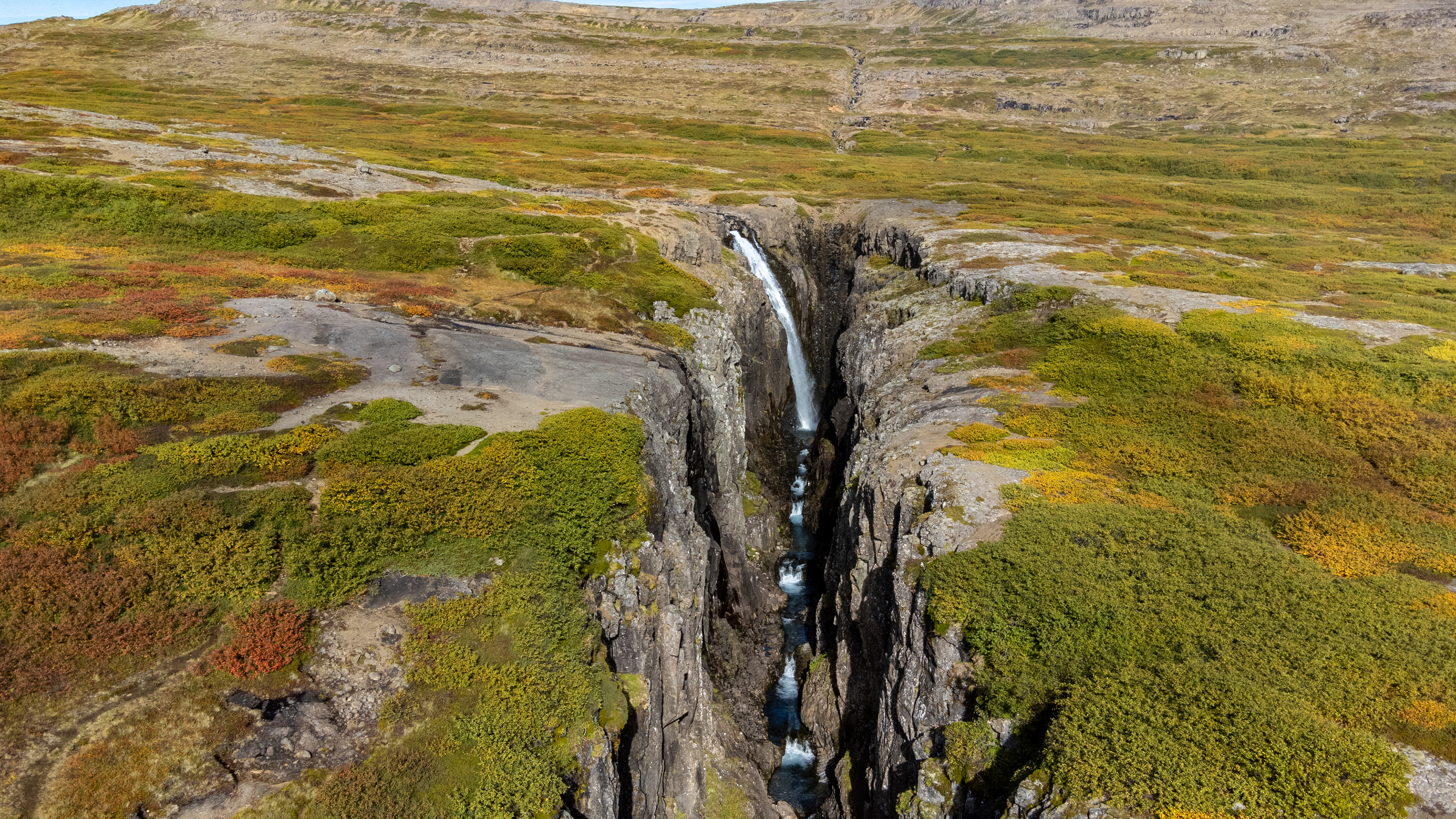
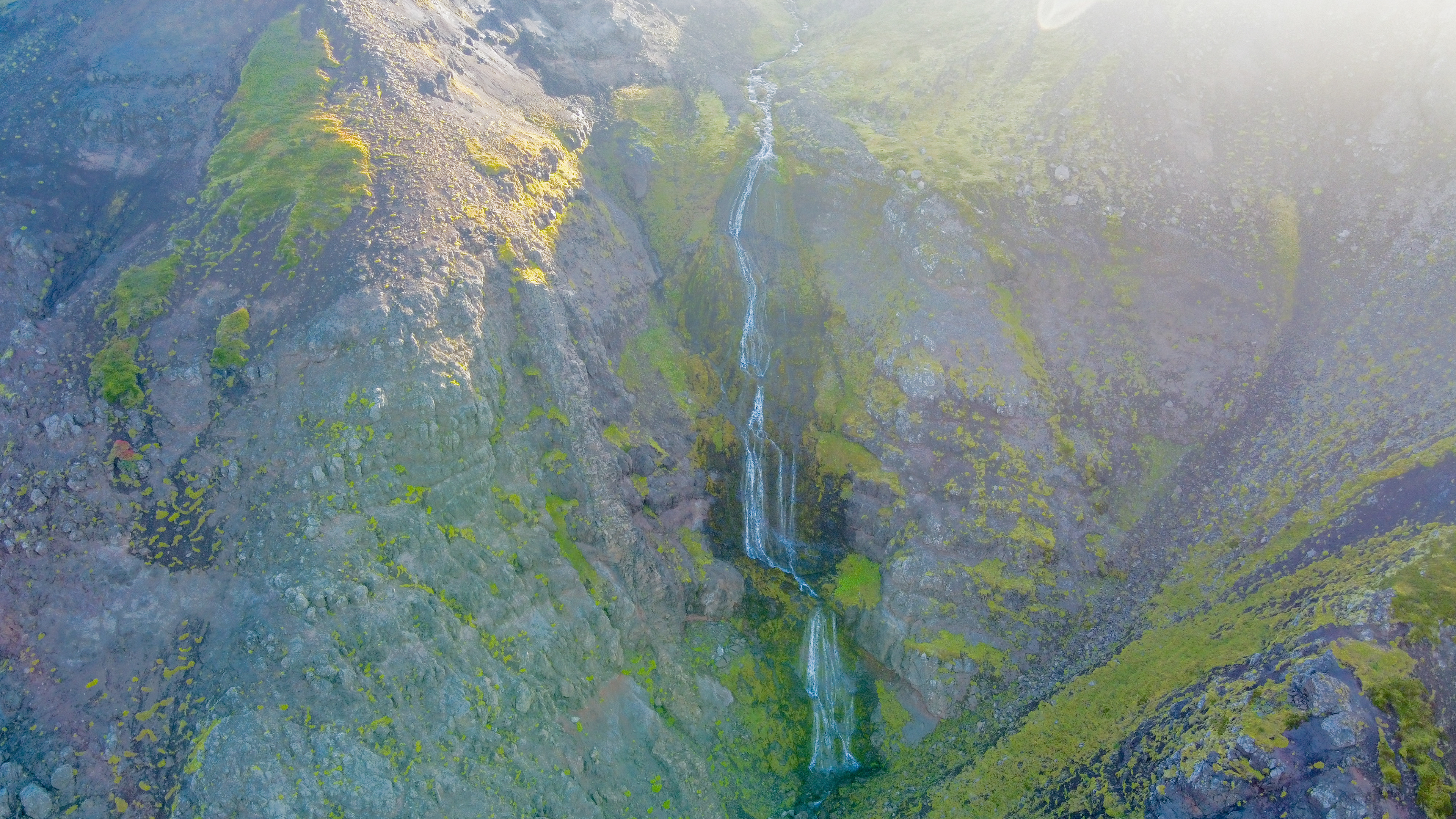
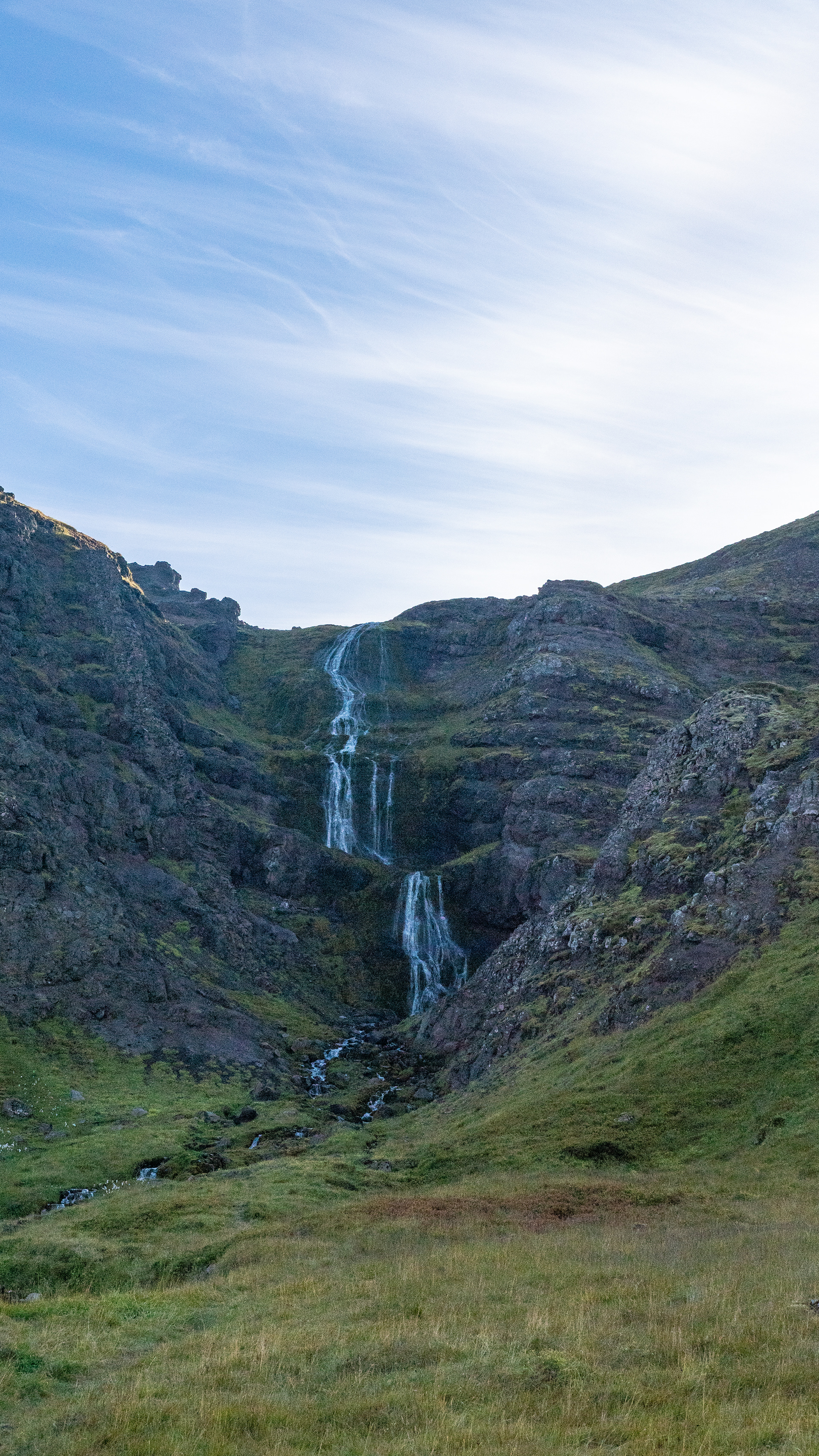
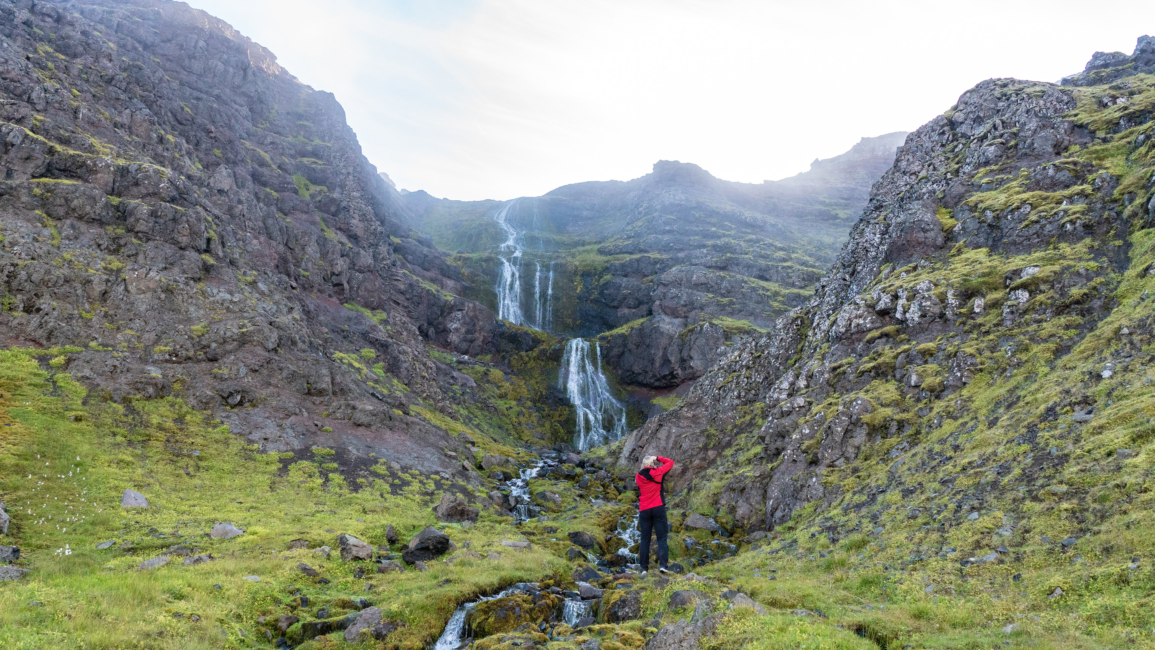
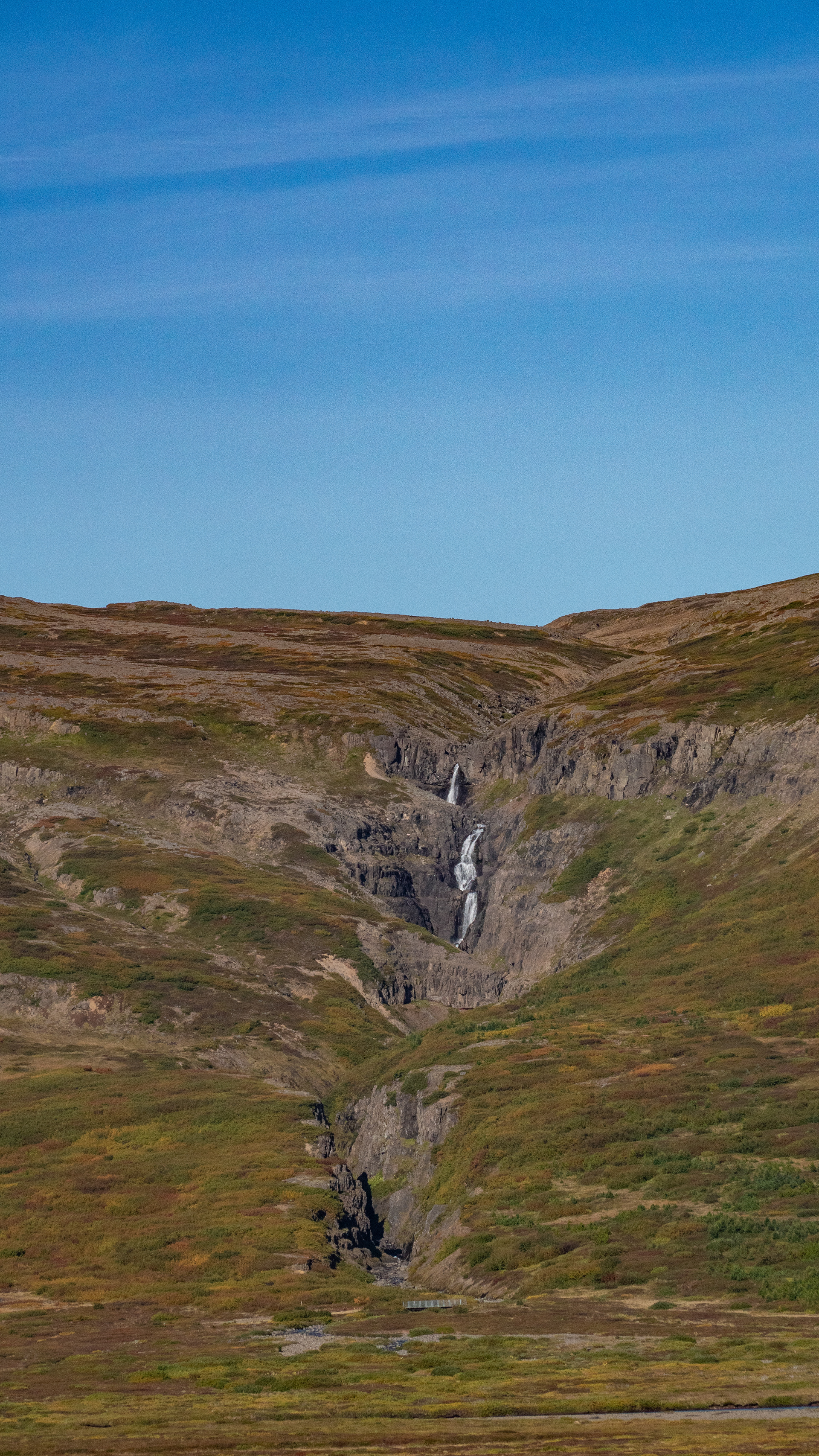
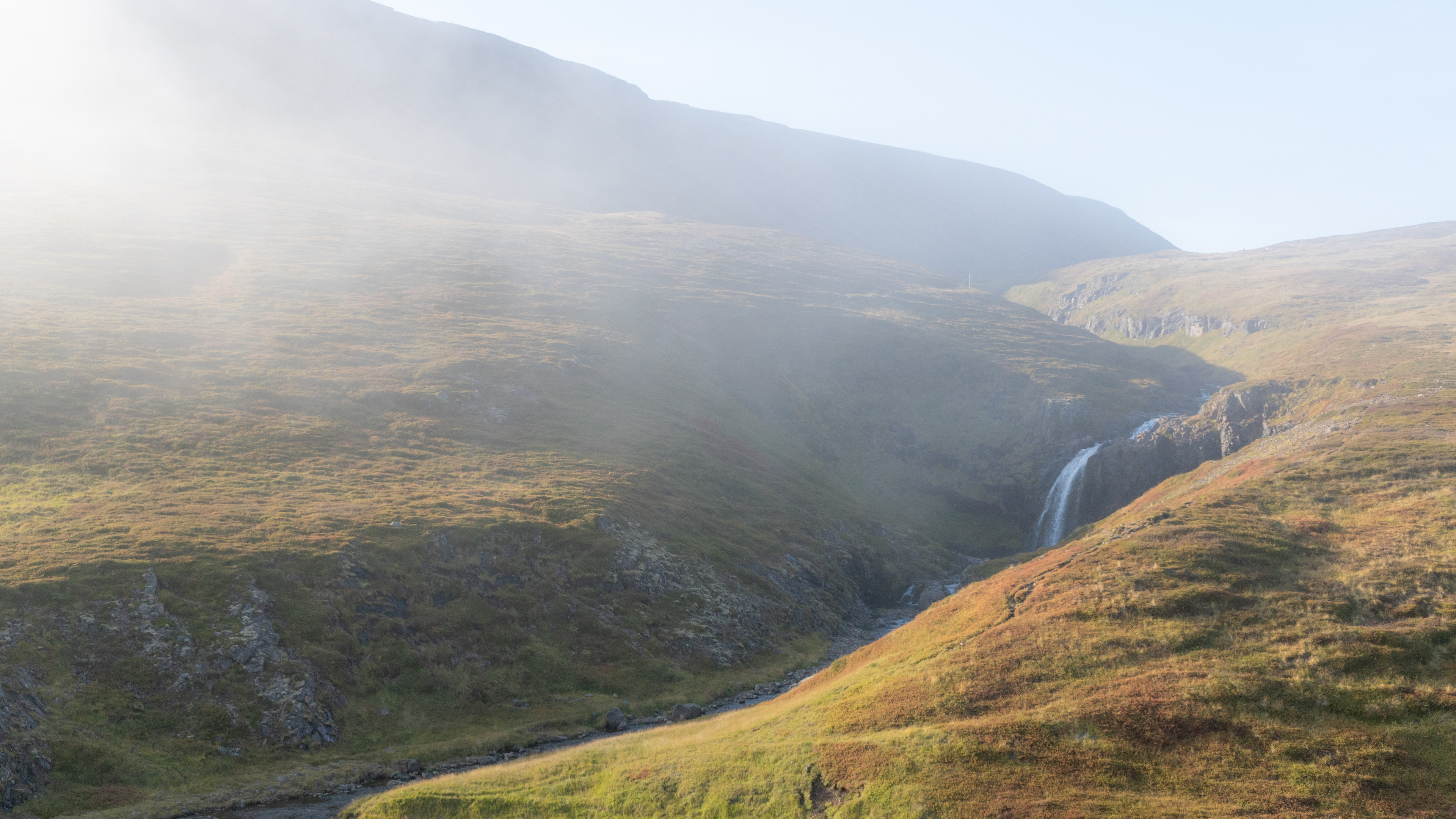
Our next stop was again a waterfall, which also has a namesake in the north - the Godafoss in Bjarnarfjörður.
From the road you could only see a few rock formations, only when we arrived at the end of the gorge, revealed and the unique beauty.
Among the dozens of waterfalls we have seen on our travels, this Godafoss will be remembered as one of the most beautiful.
The spectacular gorge, the surrounding terrain covered with many bushes, which already showed autumnal colors and the waterfall itself - nature still composes the most beautiful paintings.
The spectacular gorge, the surrounding terrain covered with many bushes, which already showed autumnal colors and the waterfall itself - nature still composes the most beautiful paintings.
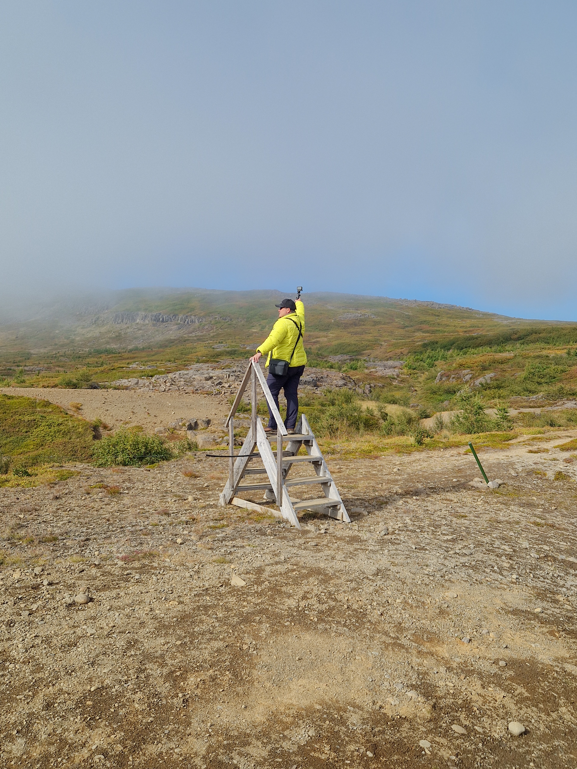
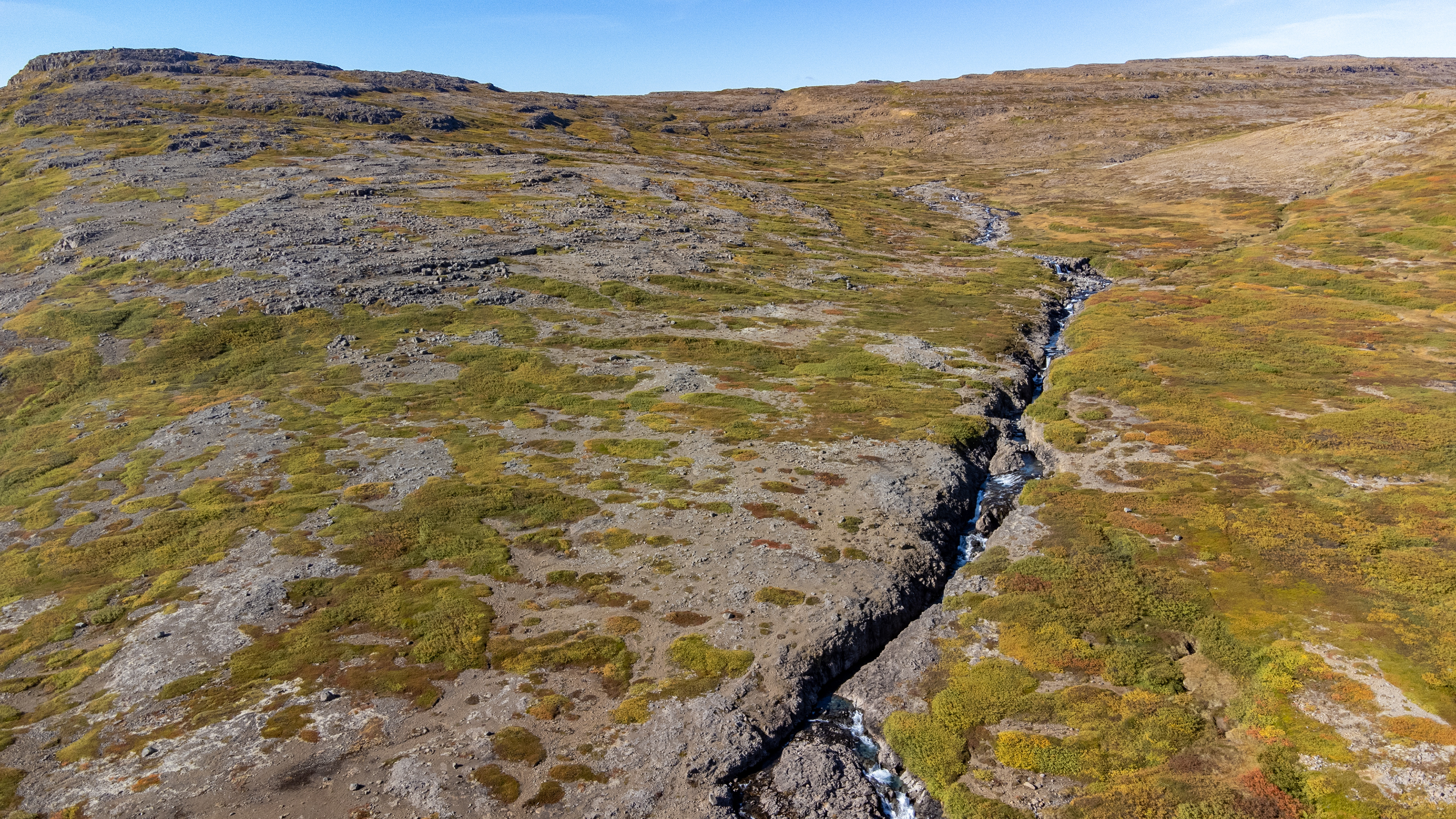
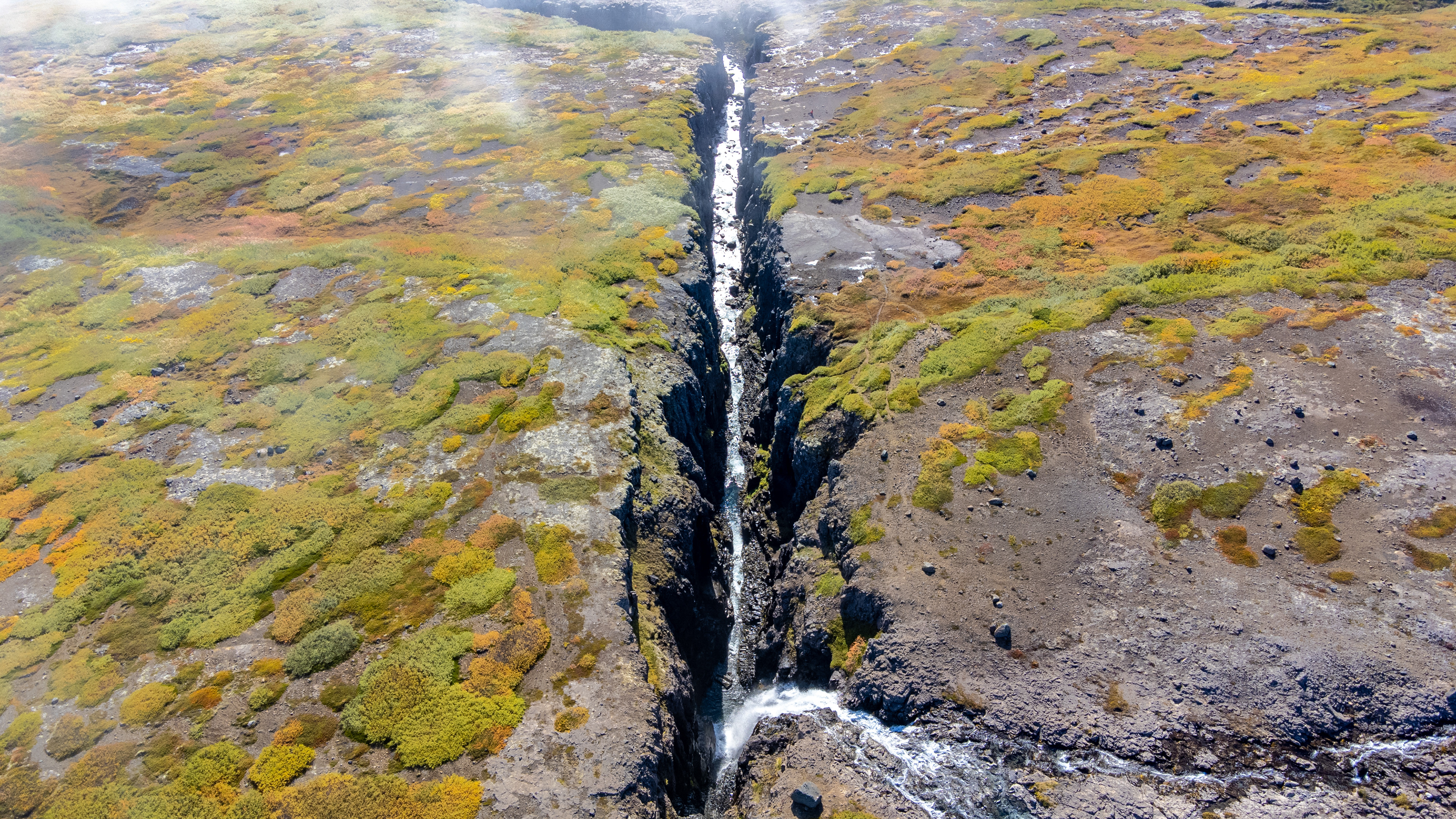
In its entirety, however, this place can only be captured from above with a drone. During the shootings, new fog came up quickly, although it was already late afternoon.
When we entered the valley, the area around Godafoss was already completely covered by fog.
Since we did not have packed any snacks for today, finnaly our stomachs started to growl.
Until Búðardalur remained there actually only Hólmavík, a small harbor town on the 61. Unfortunately, the menu in the only open restaurant did not appeal to us at all.
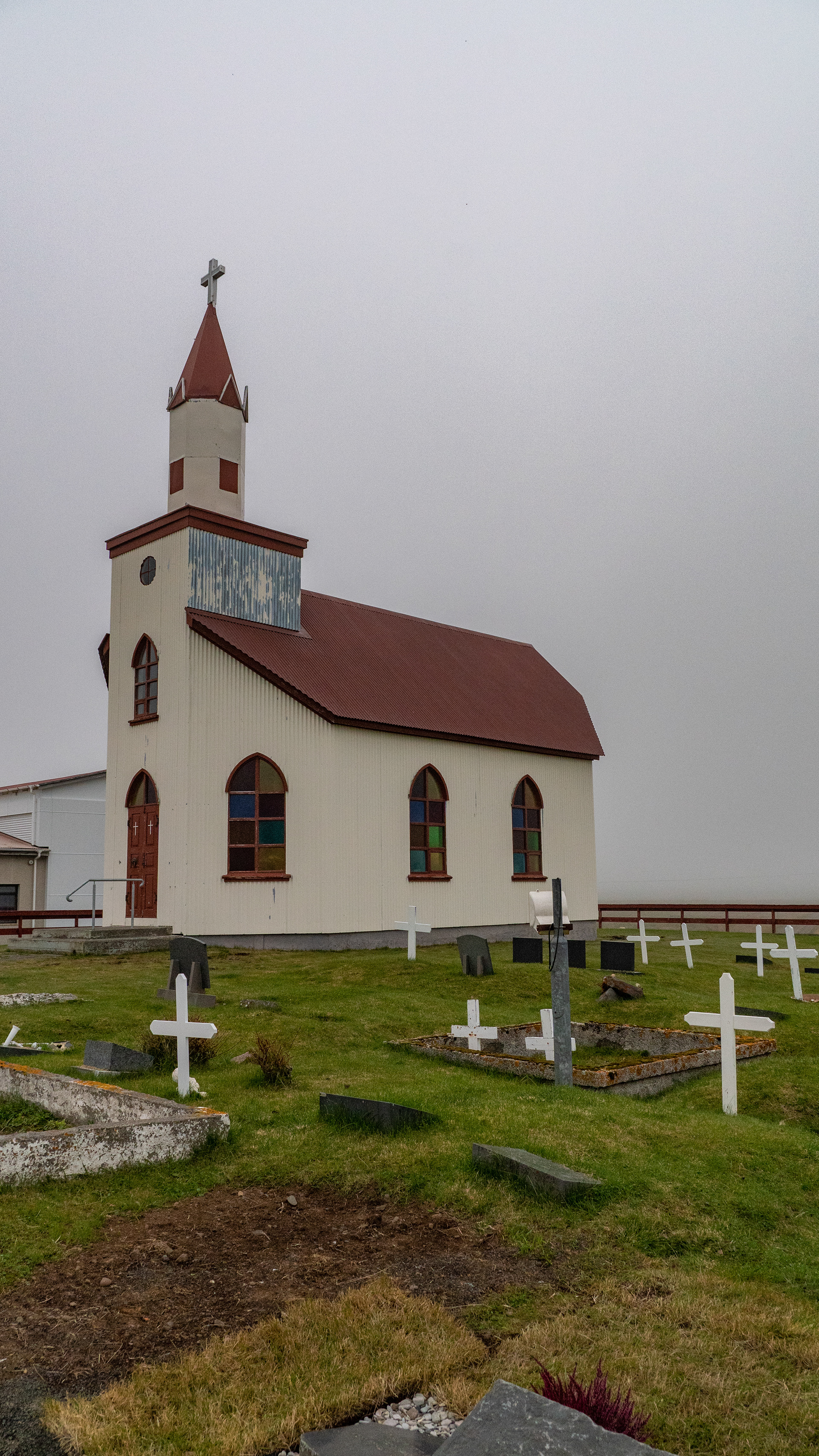
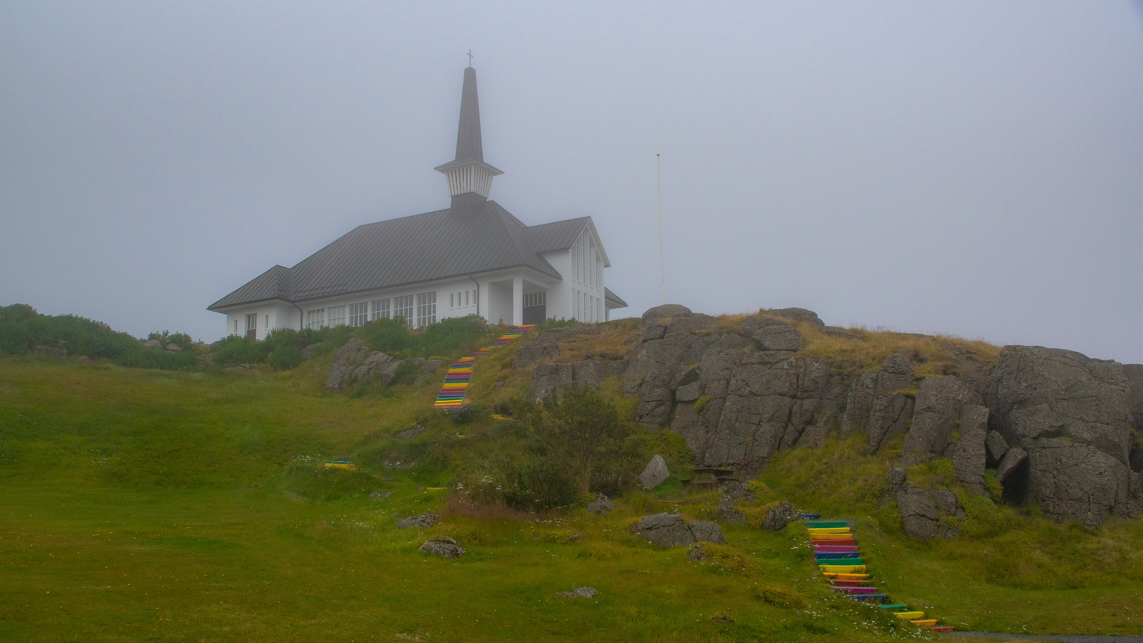
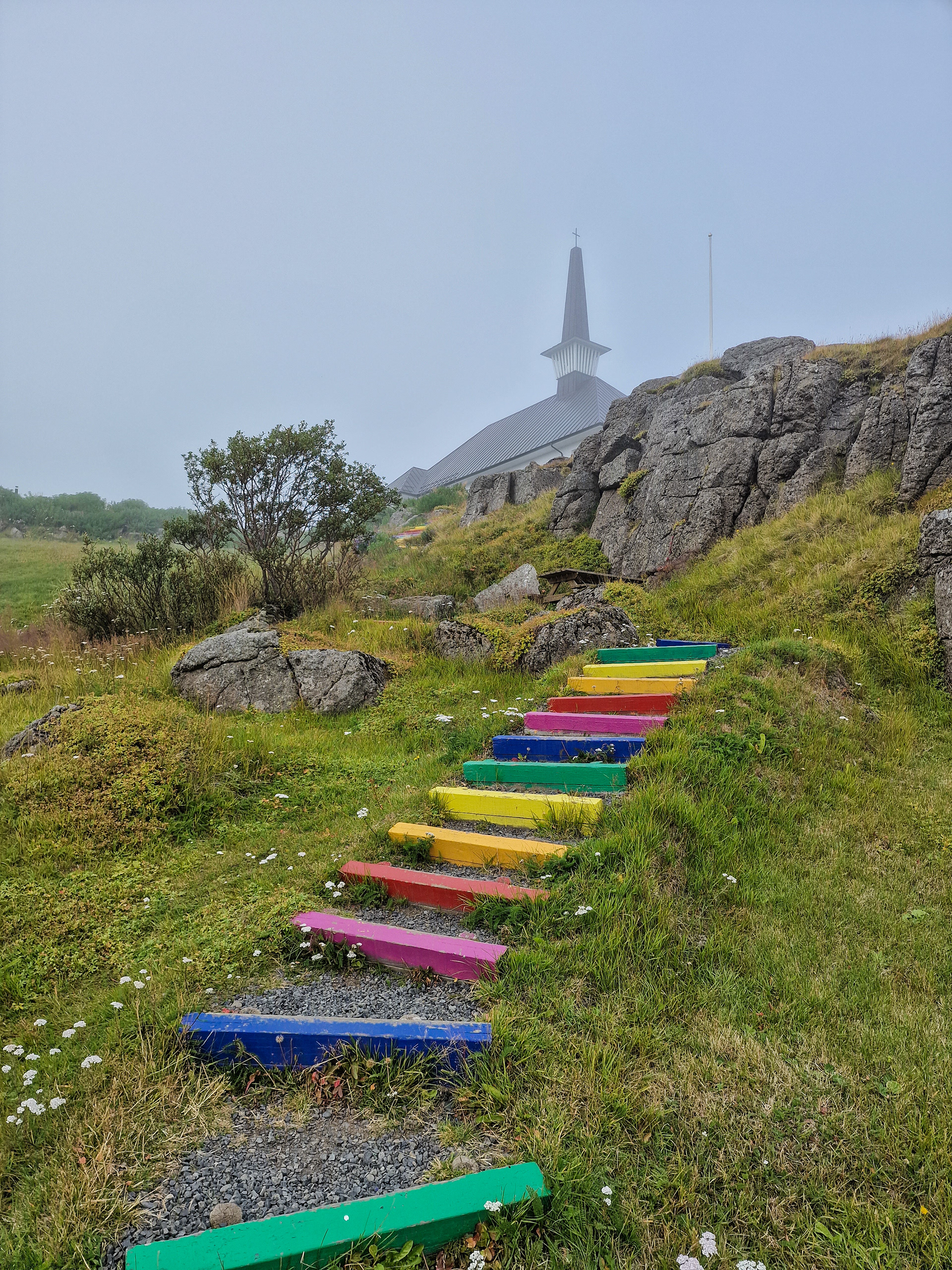
The return trip continued hungry, after a short visit of the local church Hólmavíkurkirkja, with its staircases in the rainbow colors.
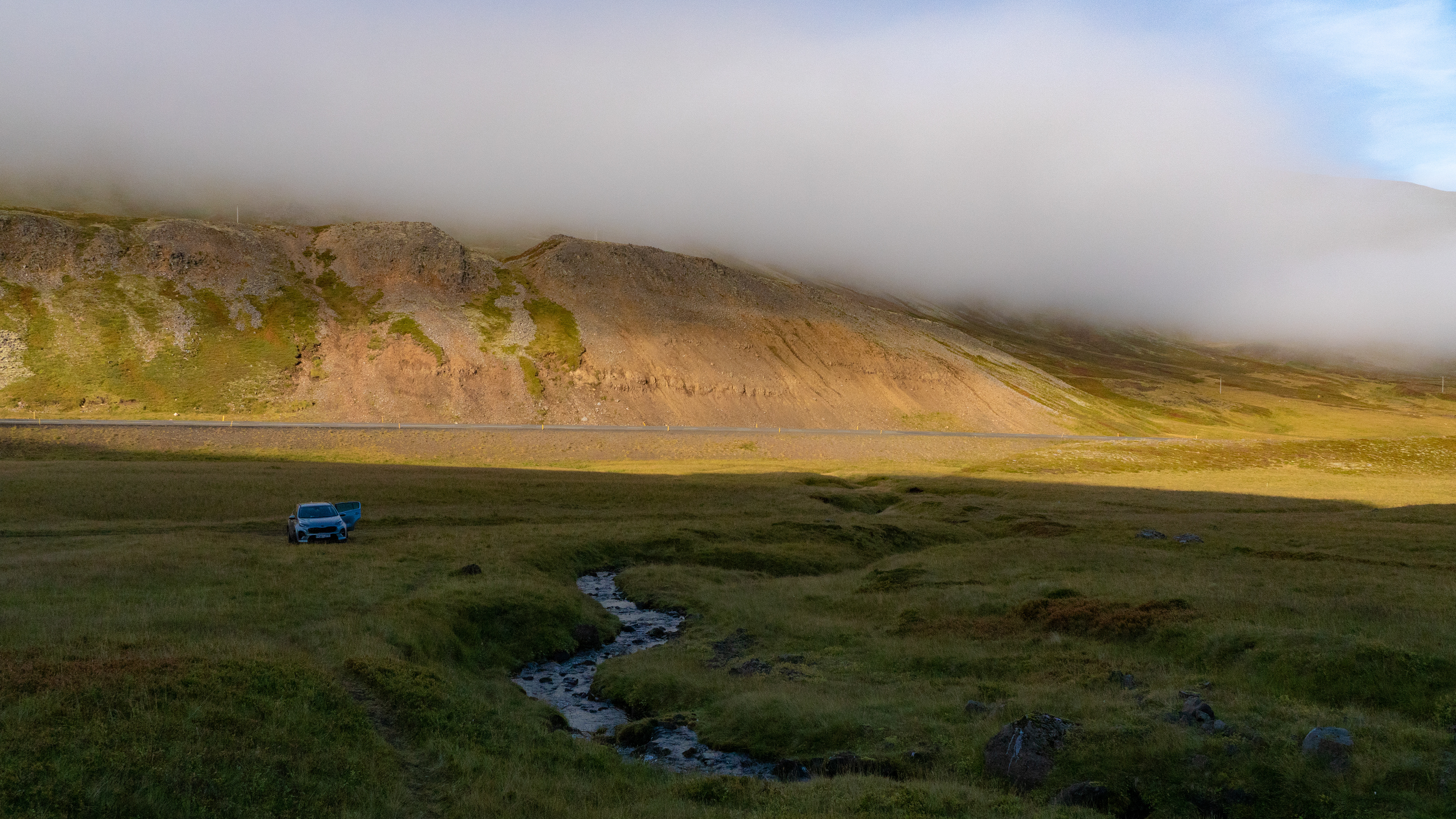
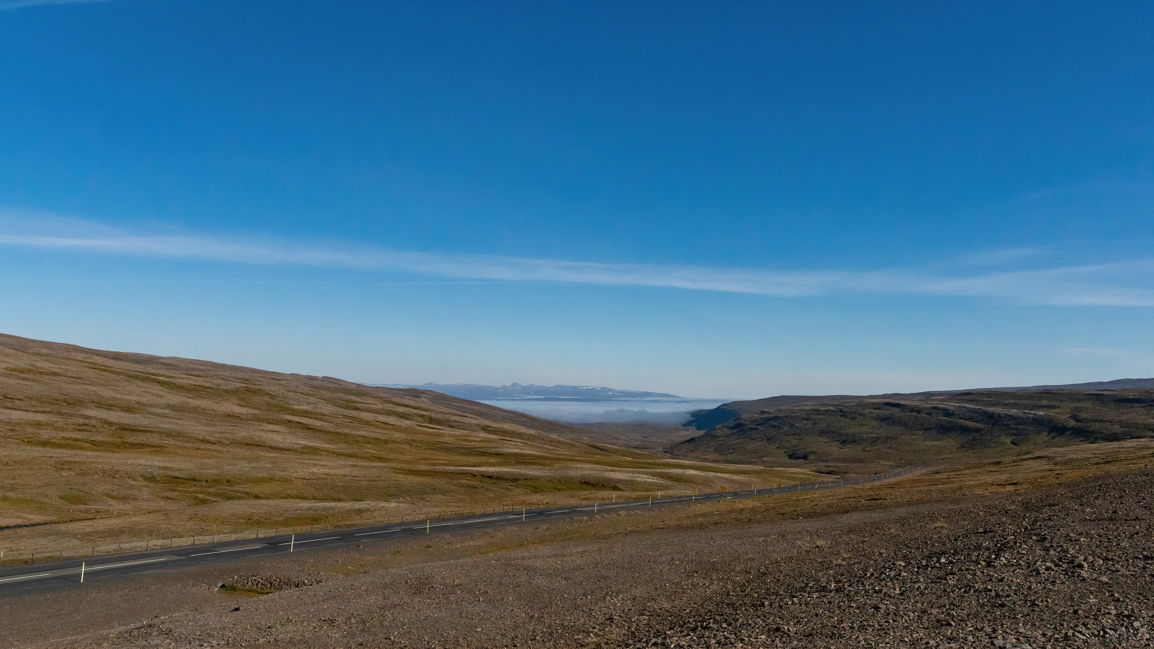
This led us back over the same pass road as in the morning. At the highest point, the west showed itself again from its most beautiful side.
Great visibility as ordered for more drone shots of the surrounding region - despite growling stomach.
For several minutes we could hear a howling nearby, from the direction of the lakes.
We agree, it can only be an arctic fox.
Our last stop for today was a small nameless waterfall, not far from the road, but even here the fog pushed into the picture again in no time.
Then we stopped at the only guesthouse with a restaurant in Búðardalur.
With pizza and fish & chips we defeated the stomach growl.
As there was no sunset for the first time, we let the evening end early, as the circumnavigation of Snæfellsnes was on the agenda for tomorrow.