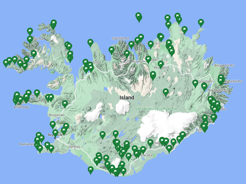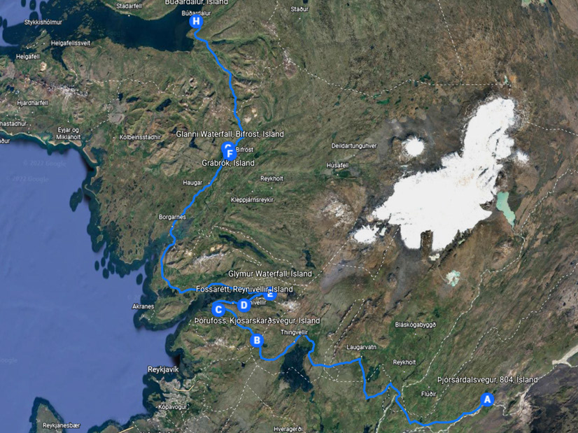

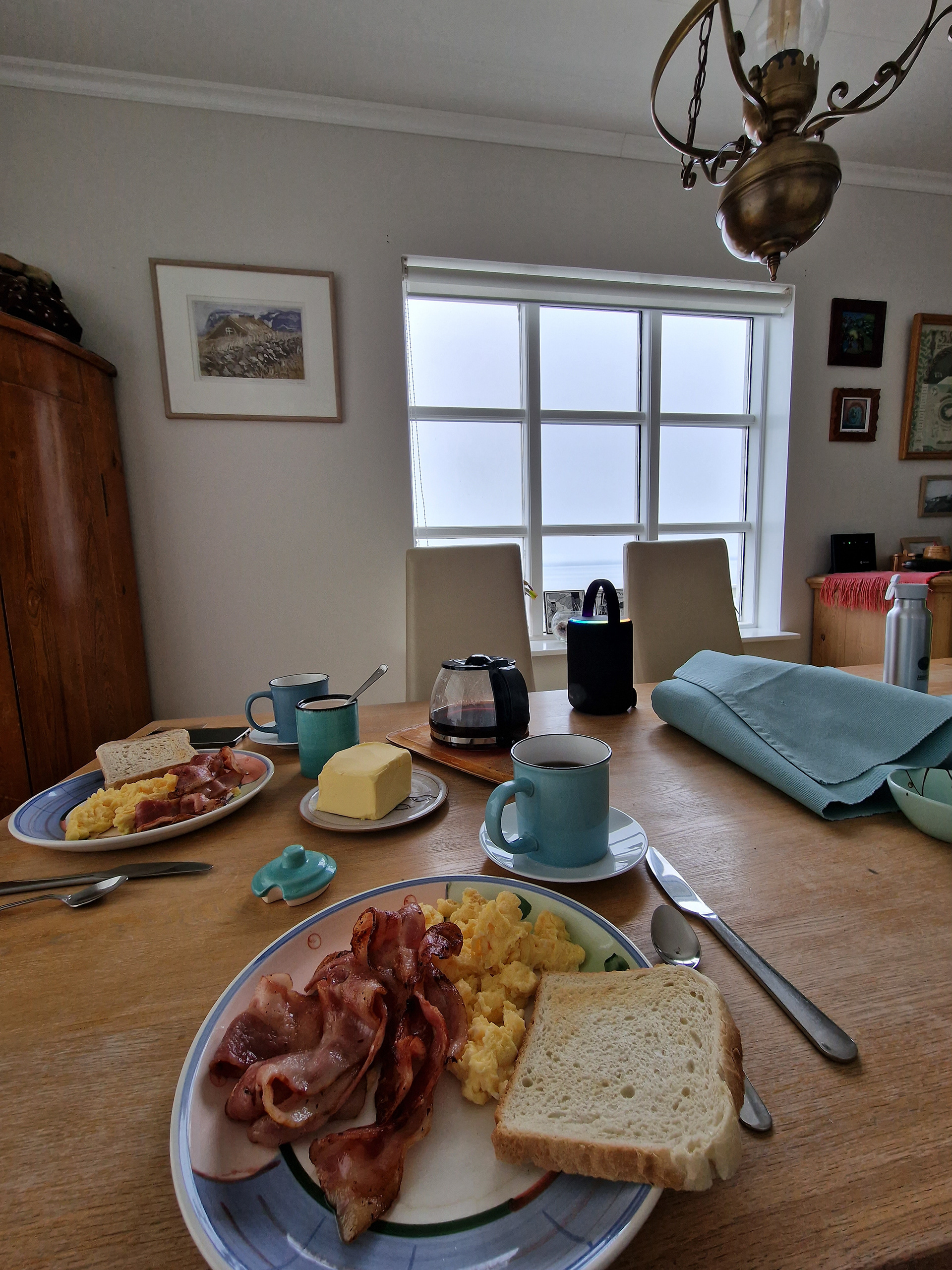
Good morning Búðardalur!
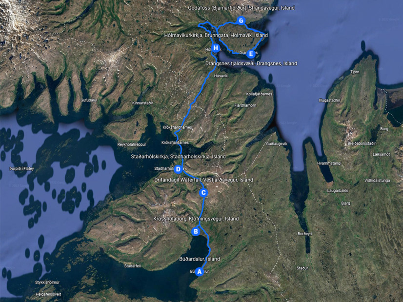
Although we will explore the Snæfellsnes peninsula again, but to provide variety, our route today takes us to the region of Vestur-Húnavatnssýsla, which is north-east of us.
From the return trip from the north in other years, we already knew Borgarvirki & Hvítserkur, but there we were always with one foot on the journey back to the south, this time we wanted to take more time.
We started after a hearty breakfast with filter coffee, with the supplies in the house was only soluble coffee and only last night we could do errands.
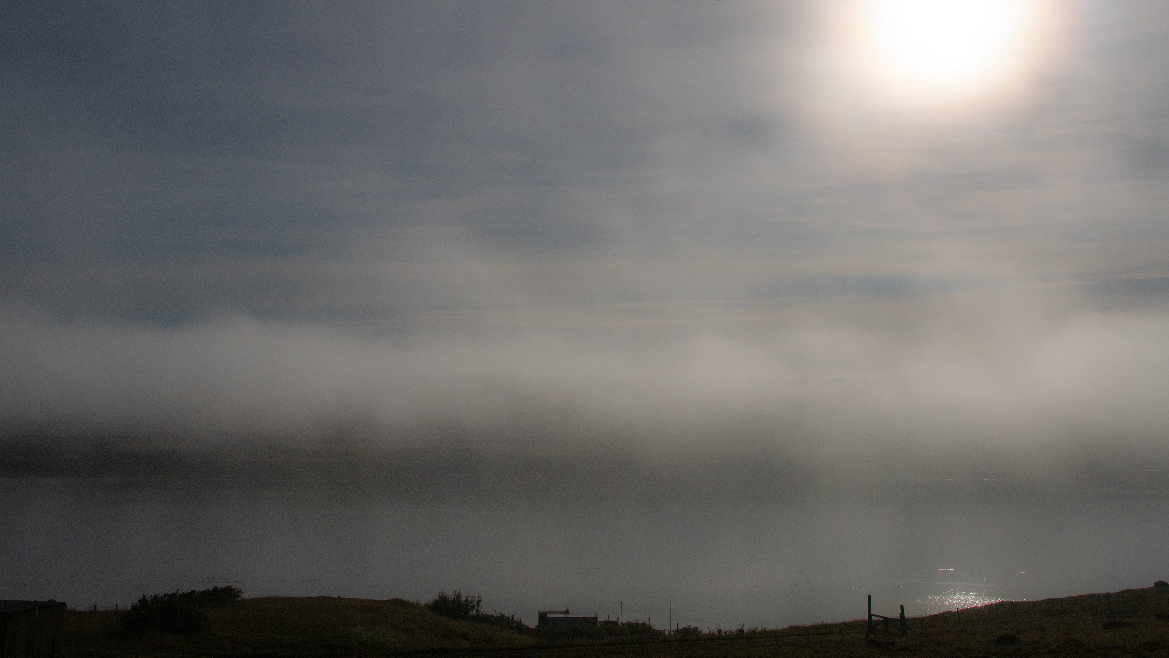
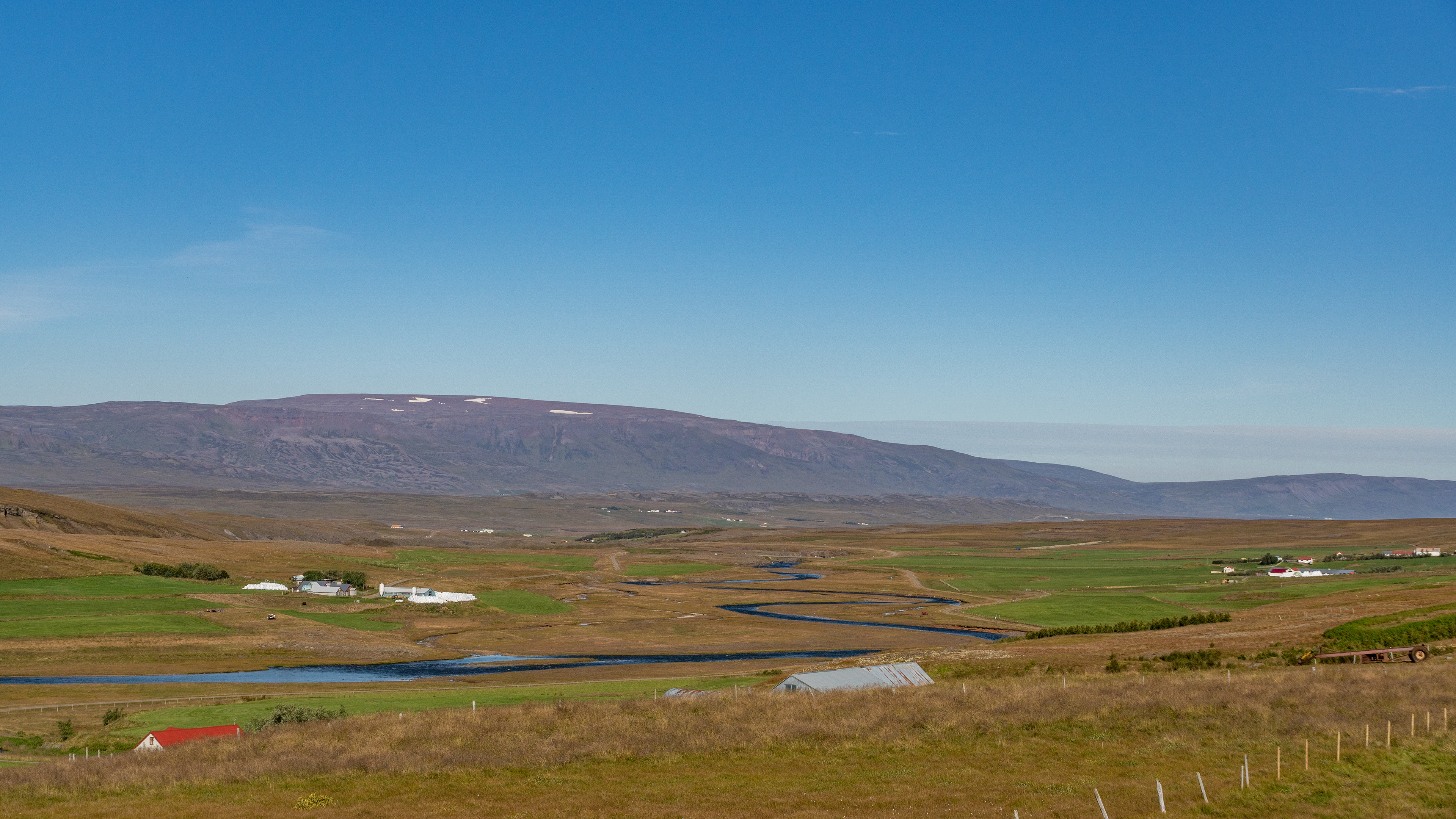
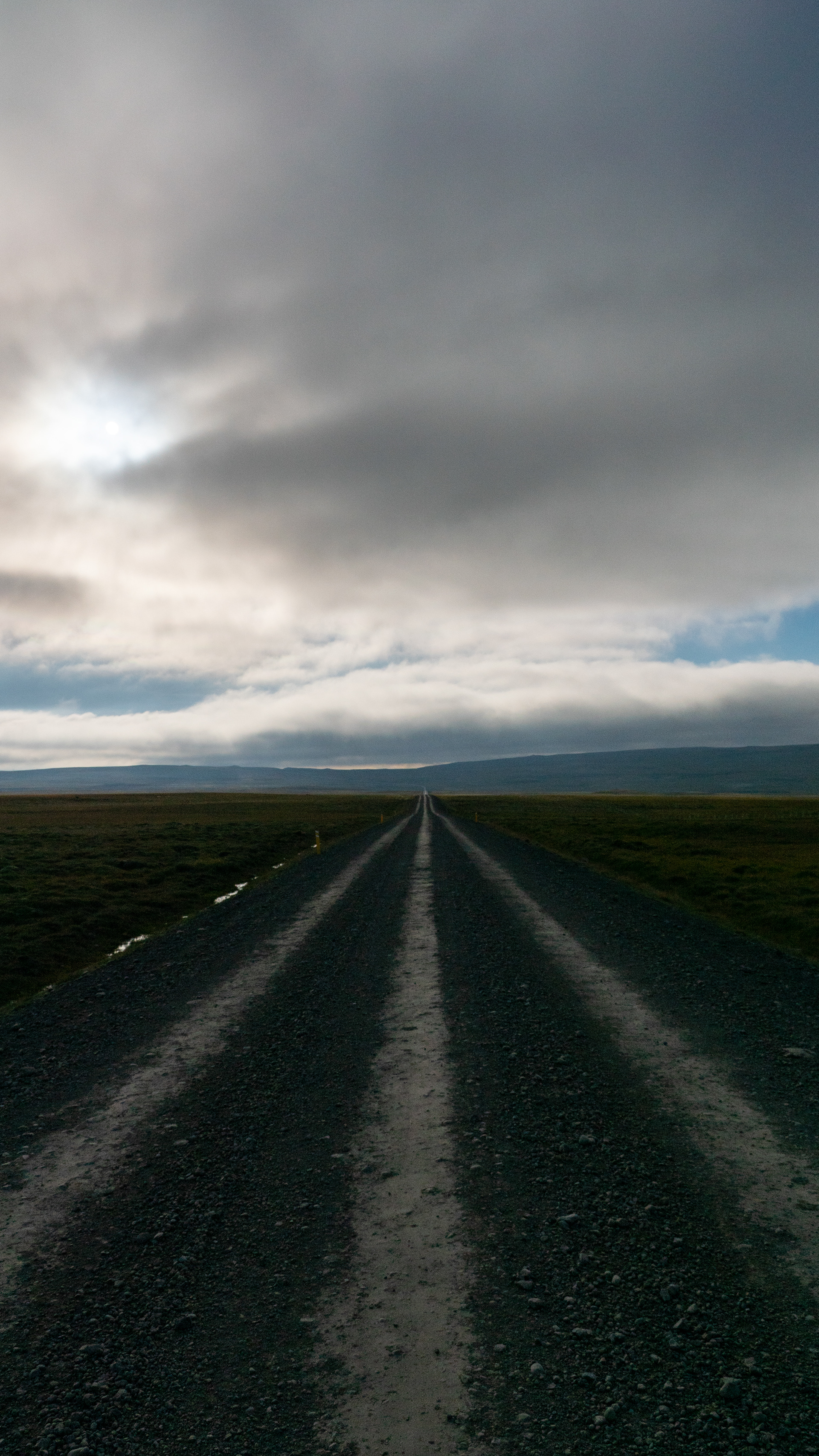
But for the time being there was nothing to see, the whole region was shrouded in thick fog. We drove on the 59 through a supposedly sparsely populated region. However, we could not have described how the landscape looked, so dense was the fog.
Only when we arrived at Hrútafjörður did the fog lift and we set off for our first destination.
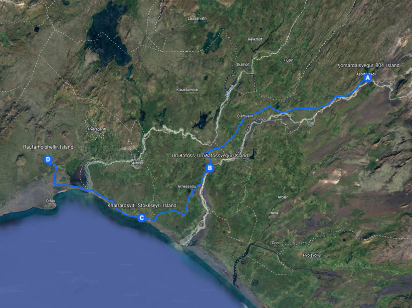
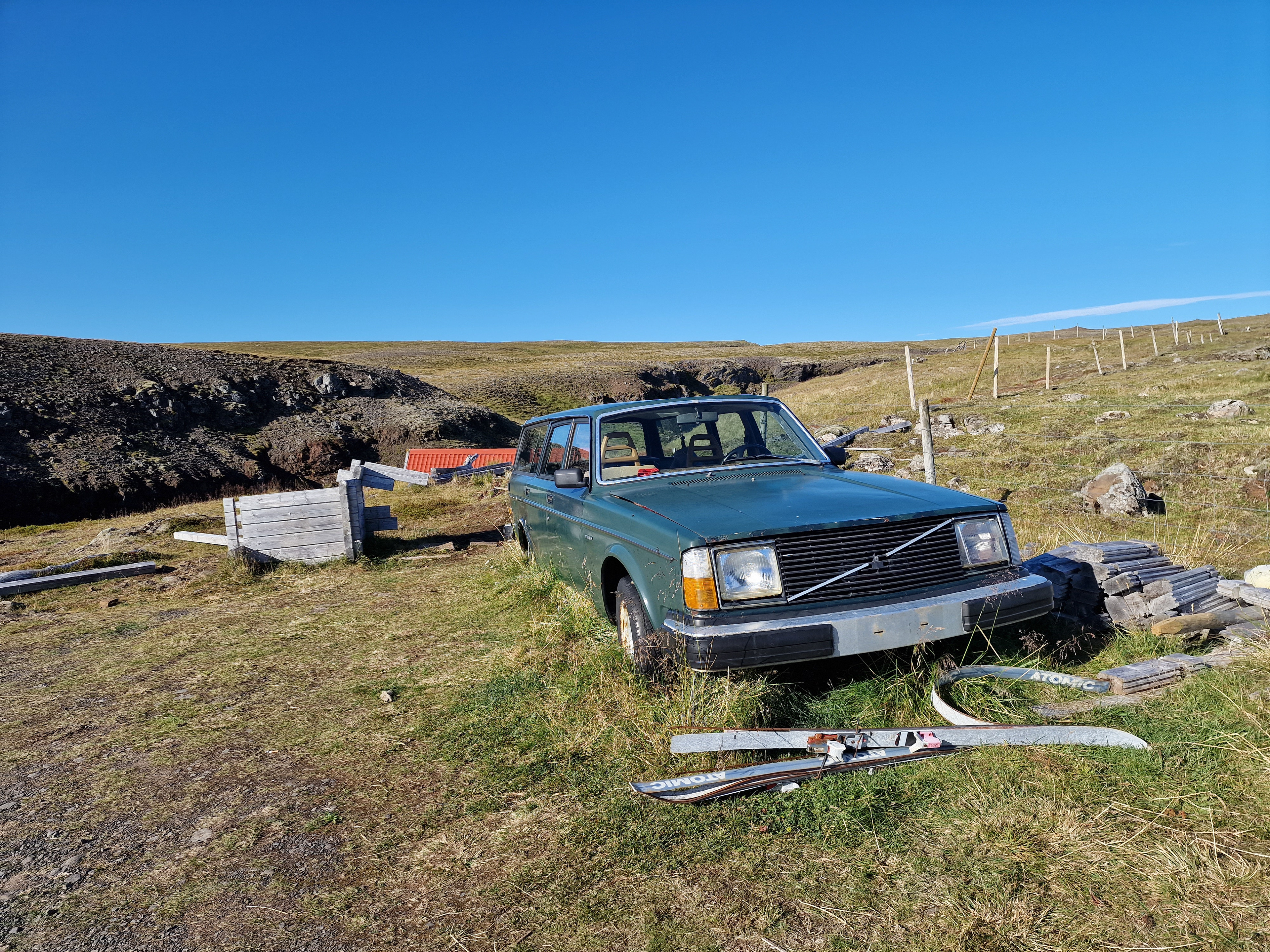
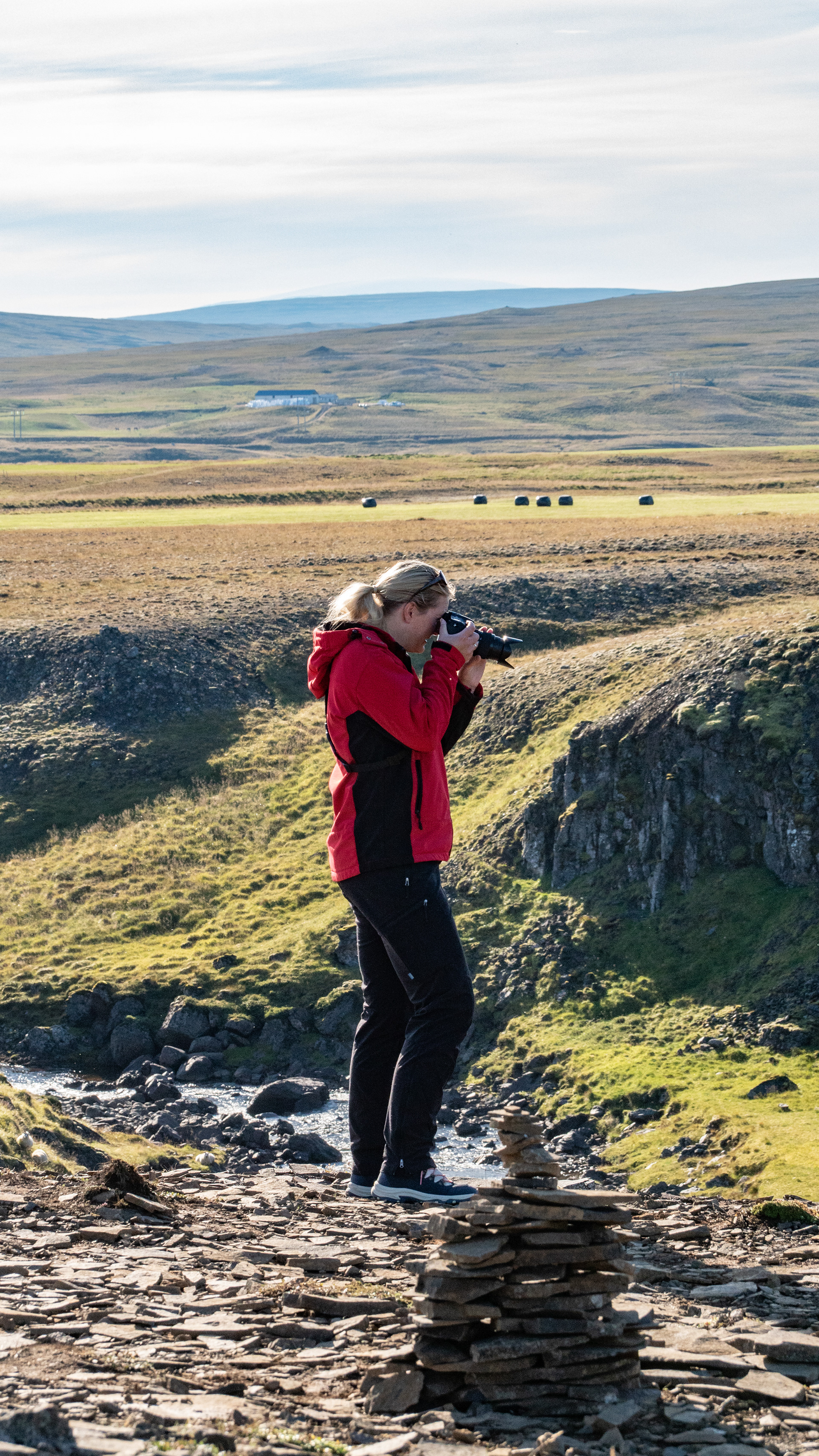
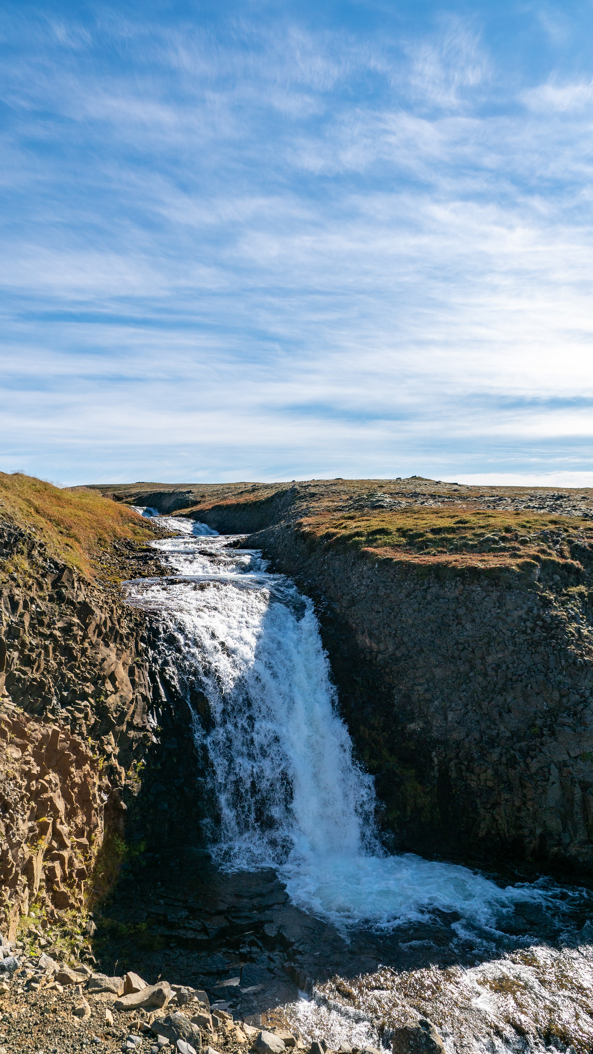
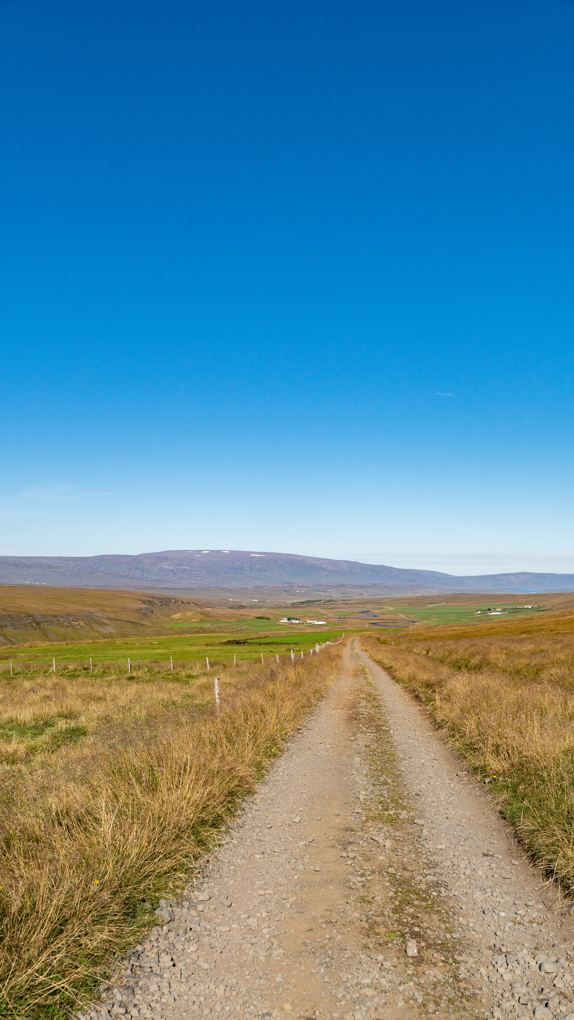
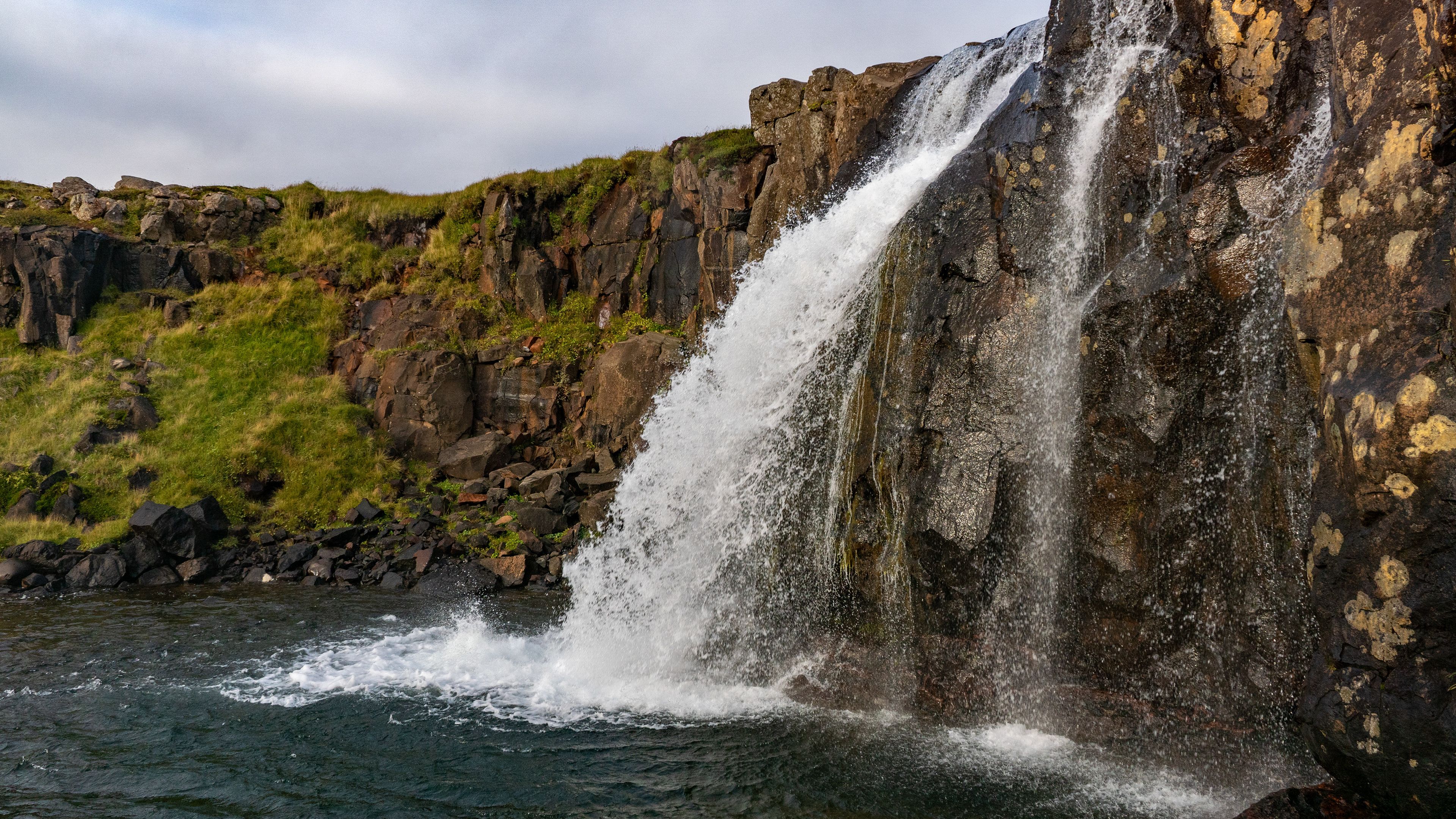
The Benefoss & Ankafoss are not far from the ring road, but since they are not signposted, was also at the time with few other visitors to expect. So it was then, someone had probably spent the night in one of these "Cheap Campervans" there. It seemed as if he felt disturbed and also disappeared immediately.
Shortly after we started hiking, we came across a cross of a boy who died here 12 years ago. As we found the place, it was to be assumed that the family probably have not used the place after this accident and since then everything decays. The dilapidated Volvo and also the dilapidated cottage fit to the assumption.
We continued to the waterfall, which we had all to ourselves, and after the fog was gone, there was bright blue sky.
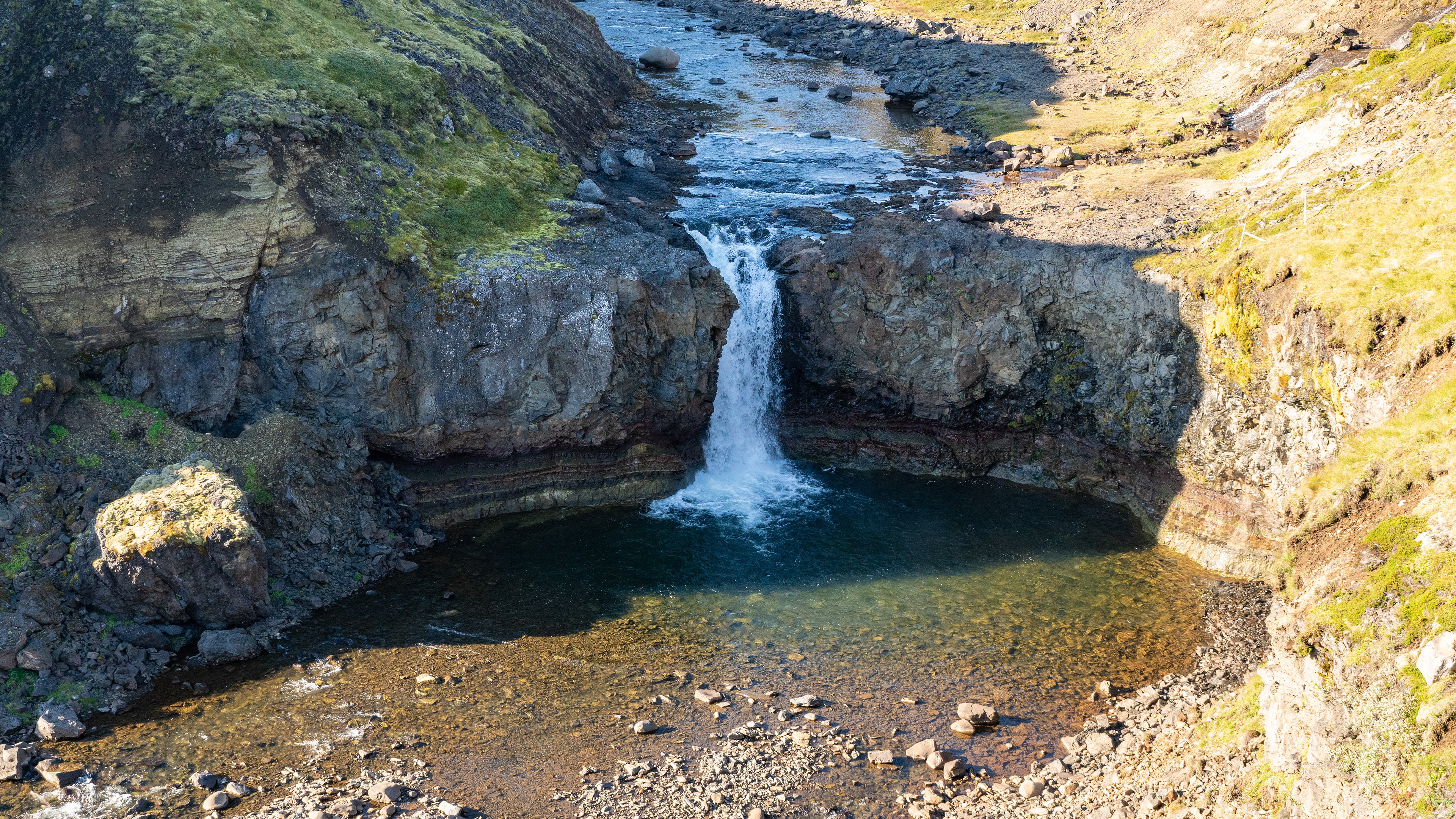
Actually belong to Benefoss & Ankafoss also the Attifoss, Hüpfifoss, that I found out but only later - so it remains with the photos of the two.

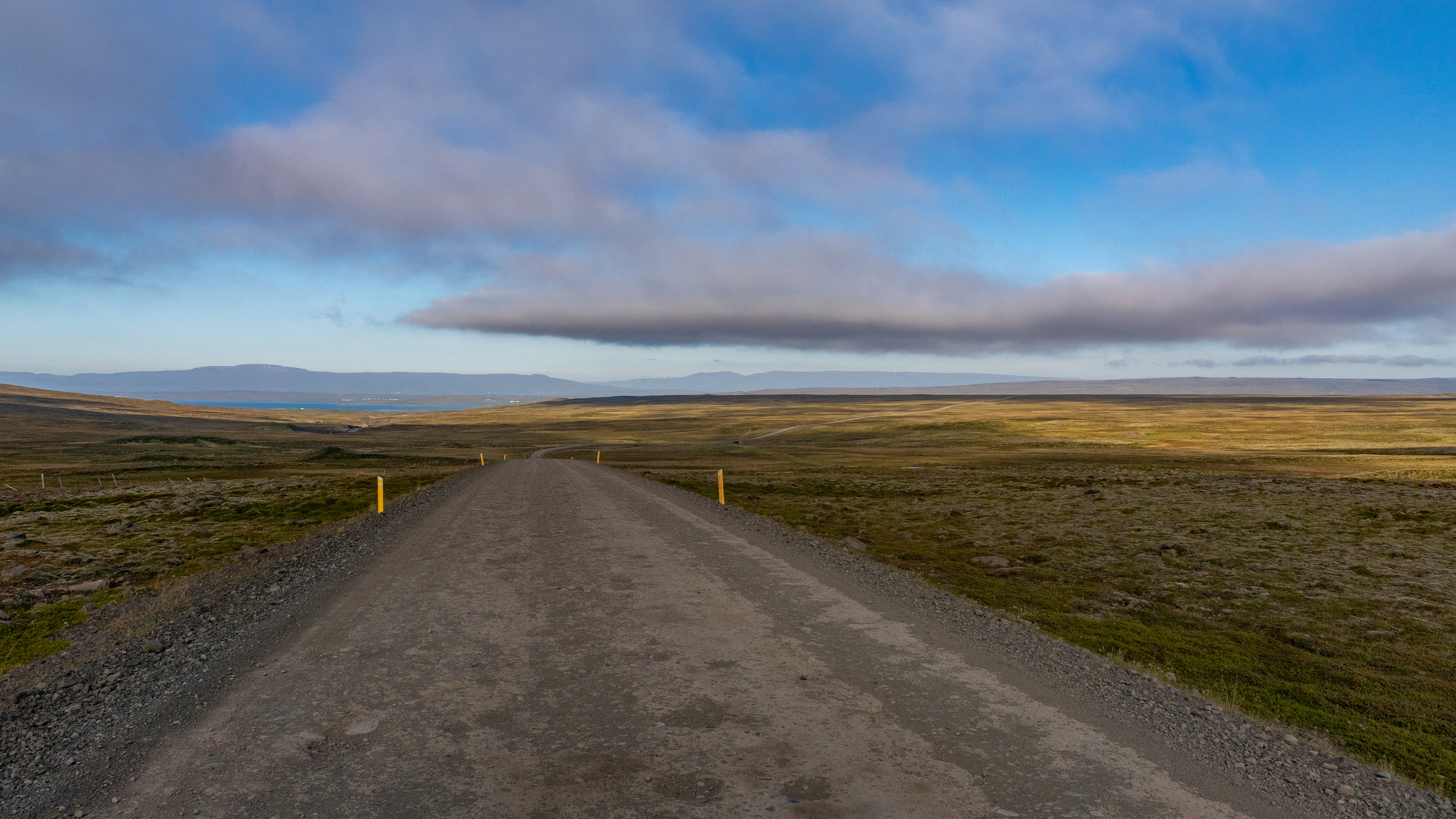
From there, we continued north on the 1 to get to our next two destinations. On the way there, I tried in vain to acquire new joy.
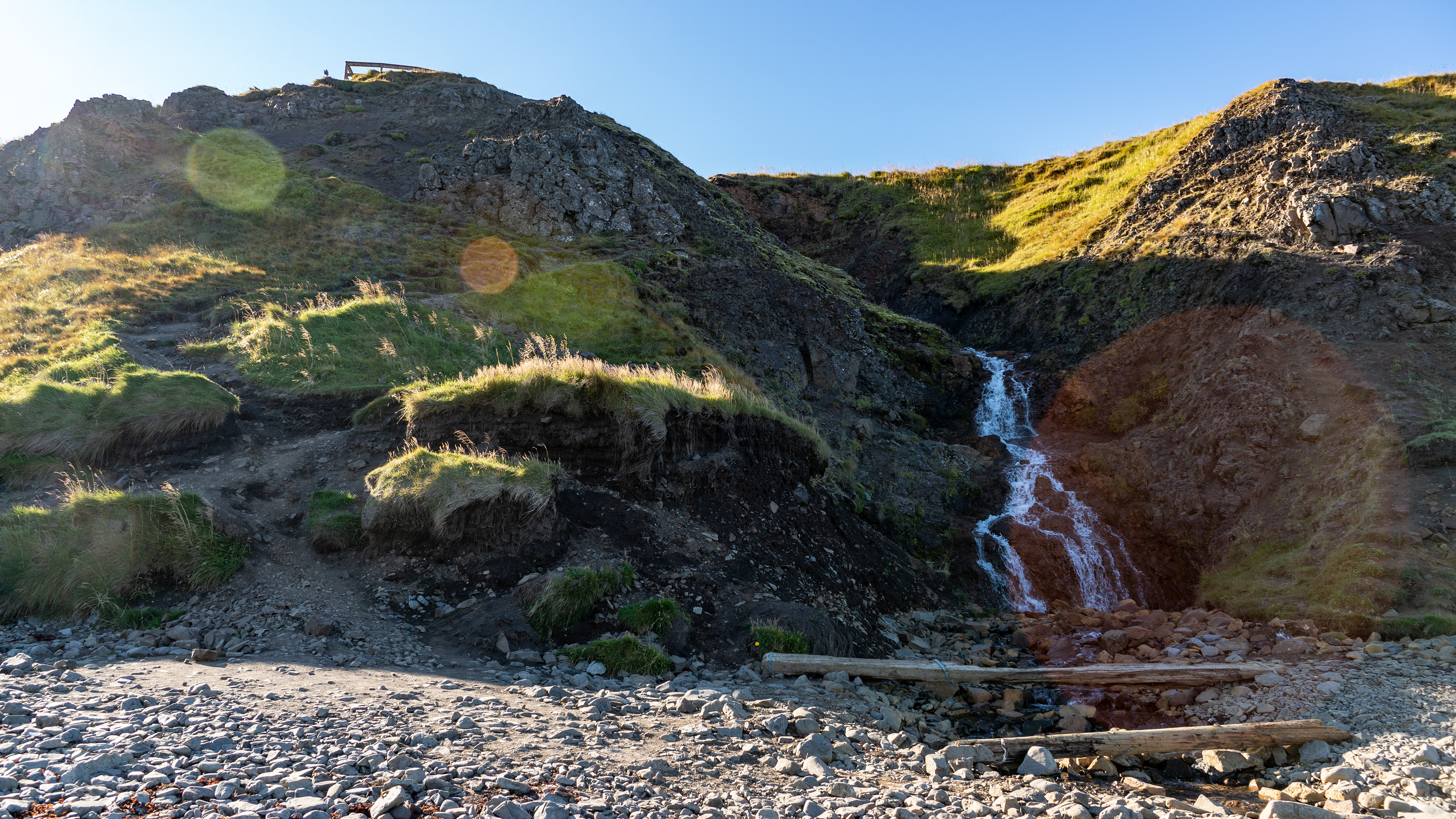
The Kolugljúfur Canyon and Bergárfoss I had discovered in advance during research, and we were curious what we would get to see.
After the impressive experience in canyon in the south, we were expectant if this went in the same direction. However, we saw on the way there that it was quite different, because the place was in the valley and not on a mountain - be curious!
After the impressive experience in canyon in the south, we were expectant if this went in the same direction. However, we saw on the way there that it was quite different, because the place was in the valley and not on a mountain - be curious!
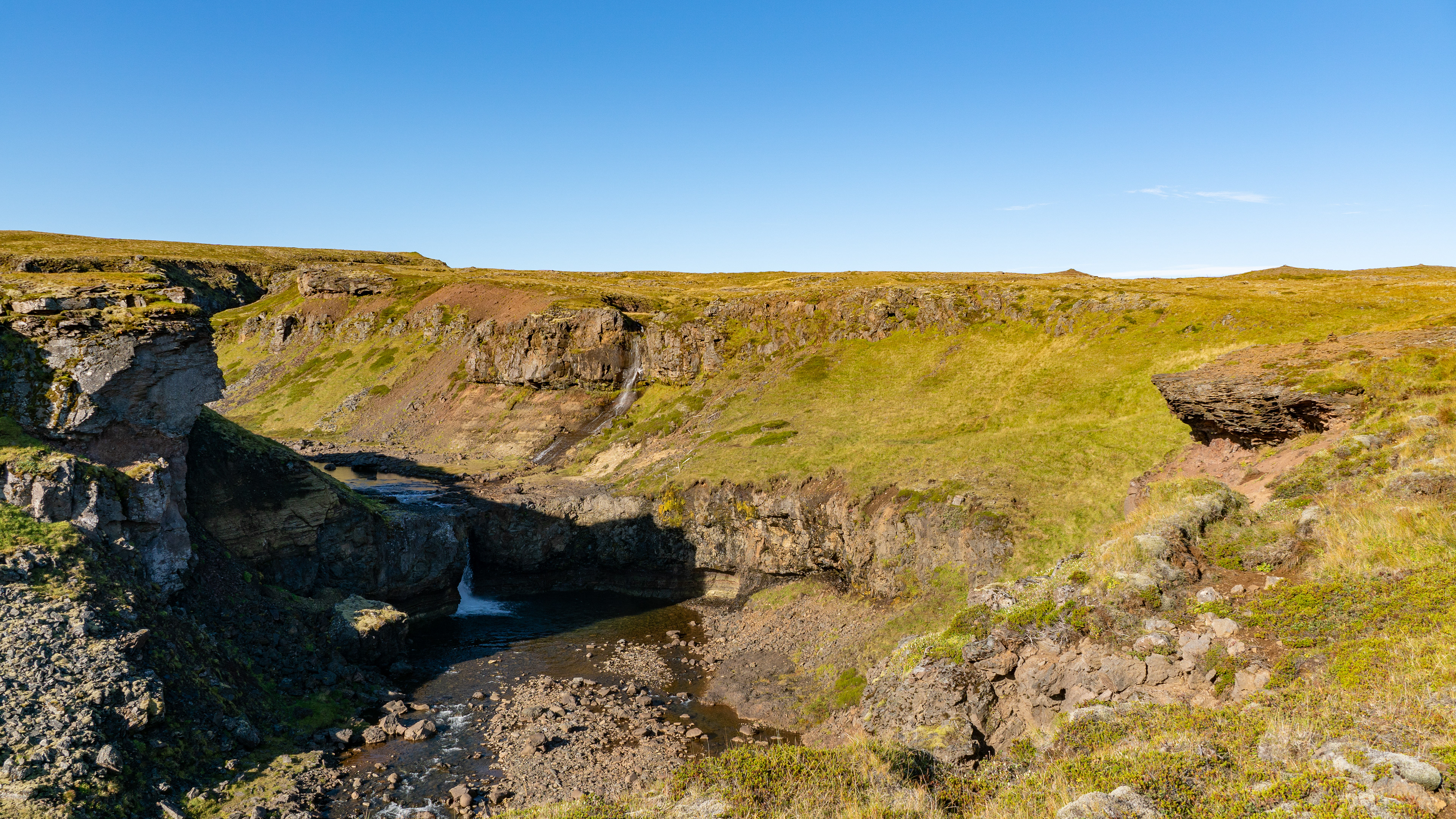
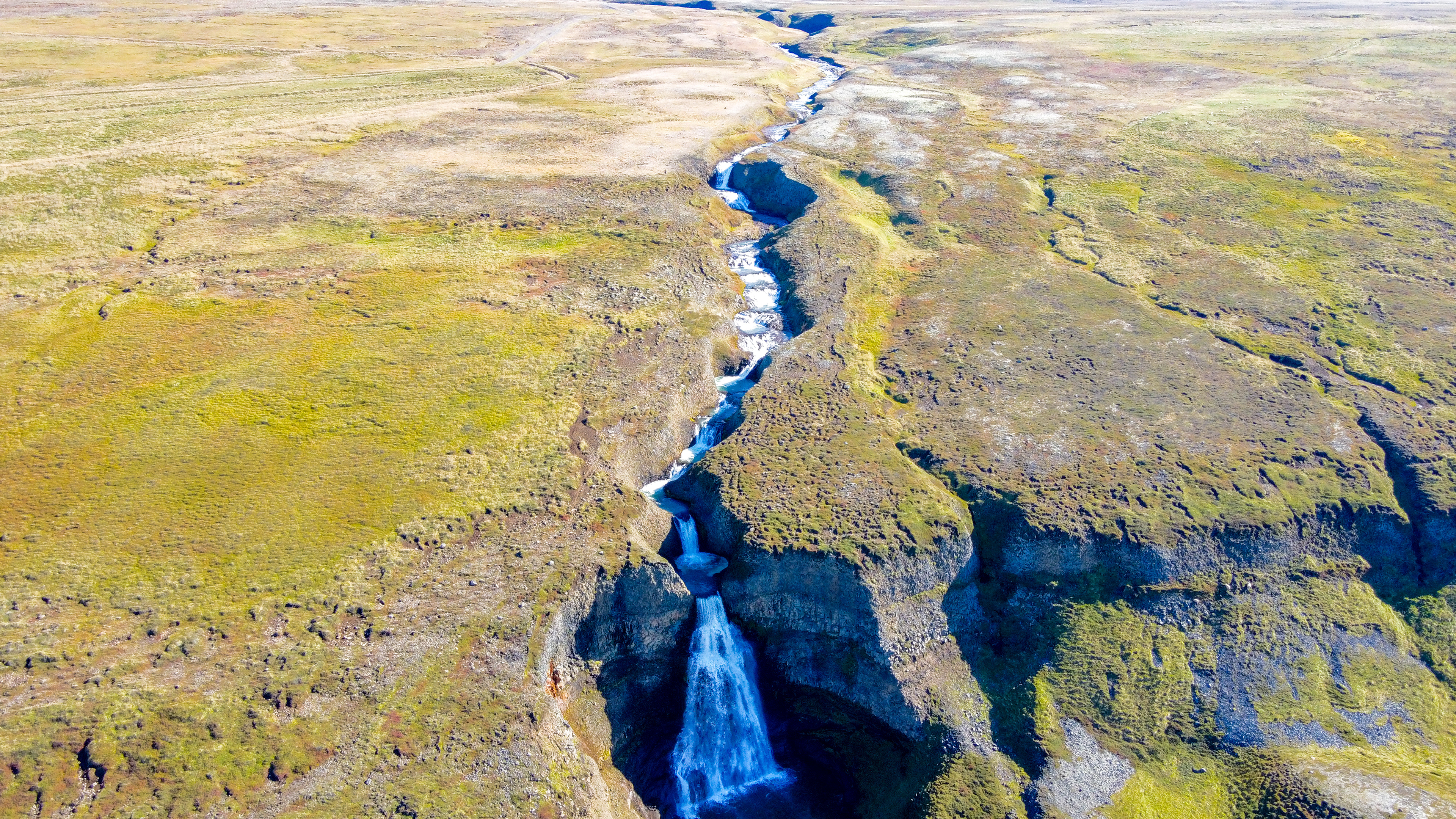
However, we headed for Bergárfoss first, which again turned out to be much more complicated than the planning on Google Maps & Komoot had led us to expect.
The reason that it was more complicated than expected to reach a point marked on the virtual map was due to the difficulties that Komoot in particular had with the GPS in Iceland. Here it often happened that during the route guidance of completed routes, the marked path, wildly jumped through the botany and also times 100 meters of altitude displayed, which were not present.
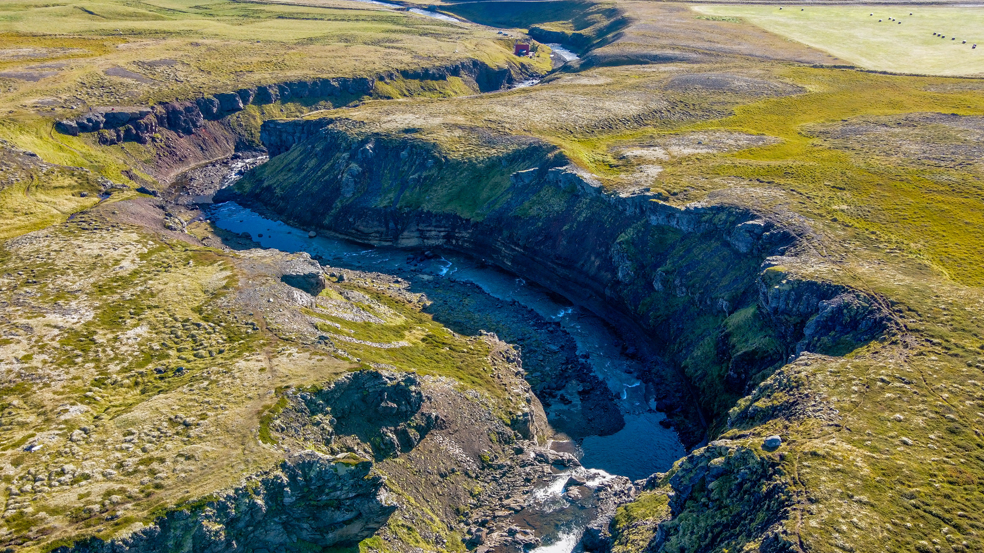
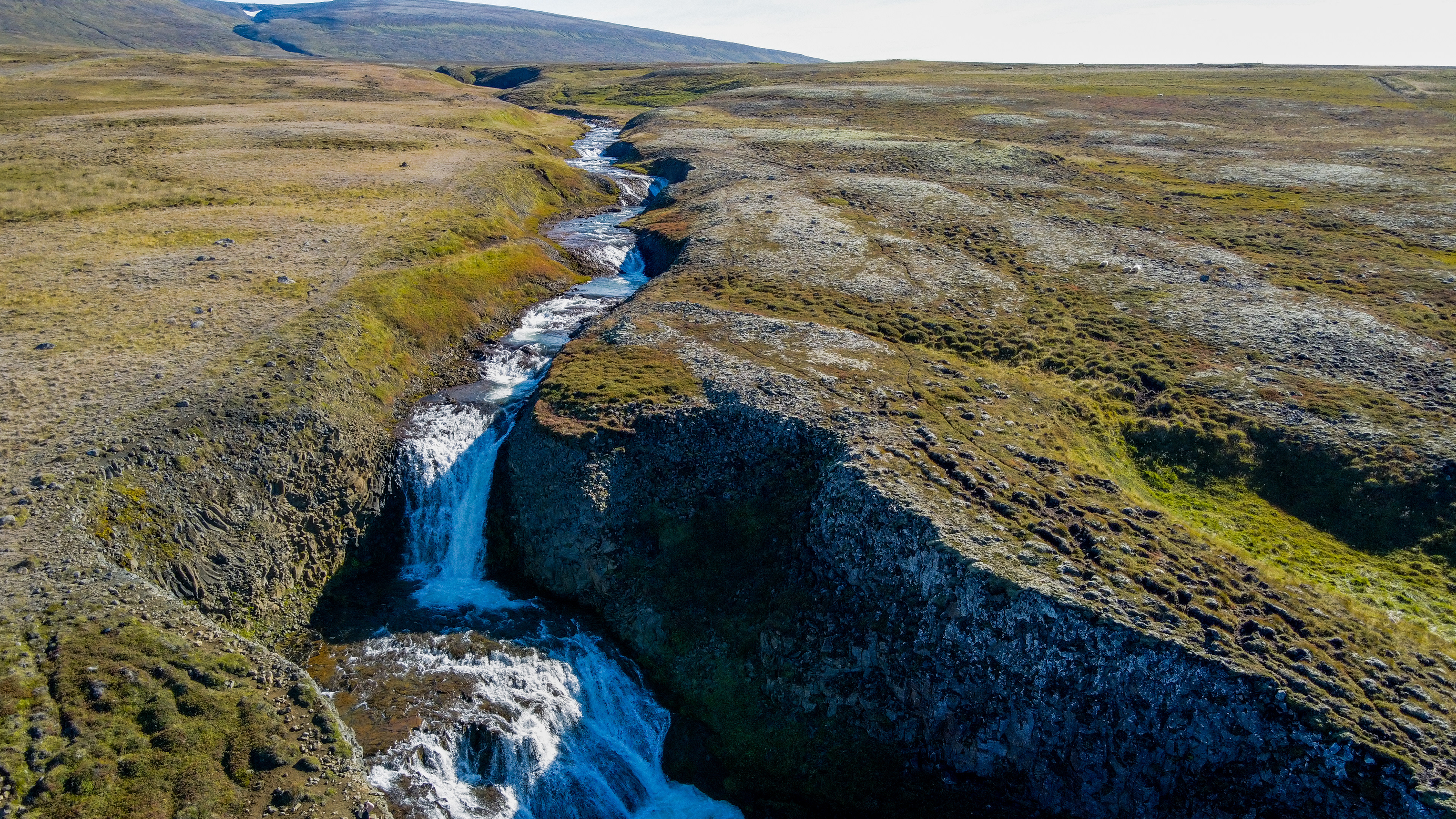
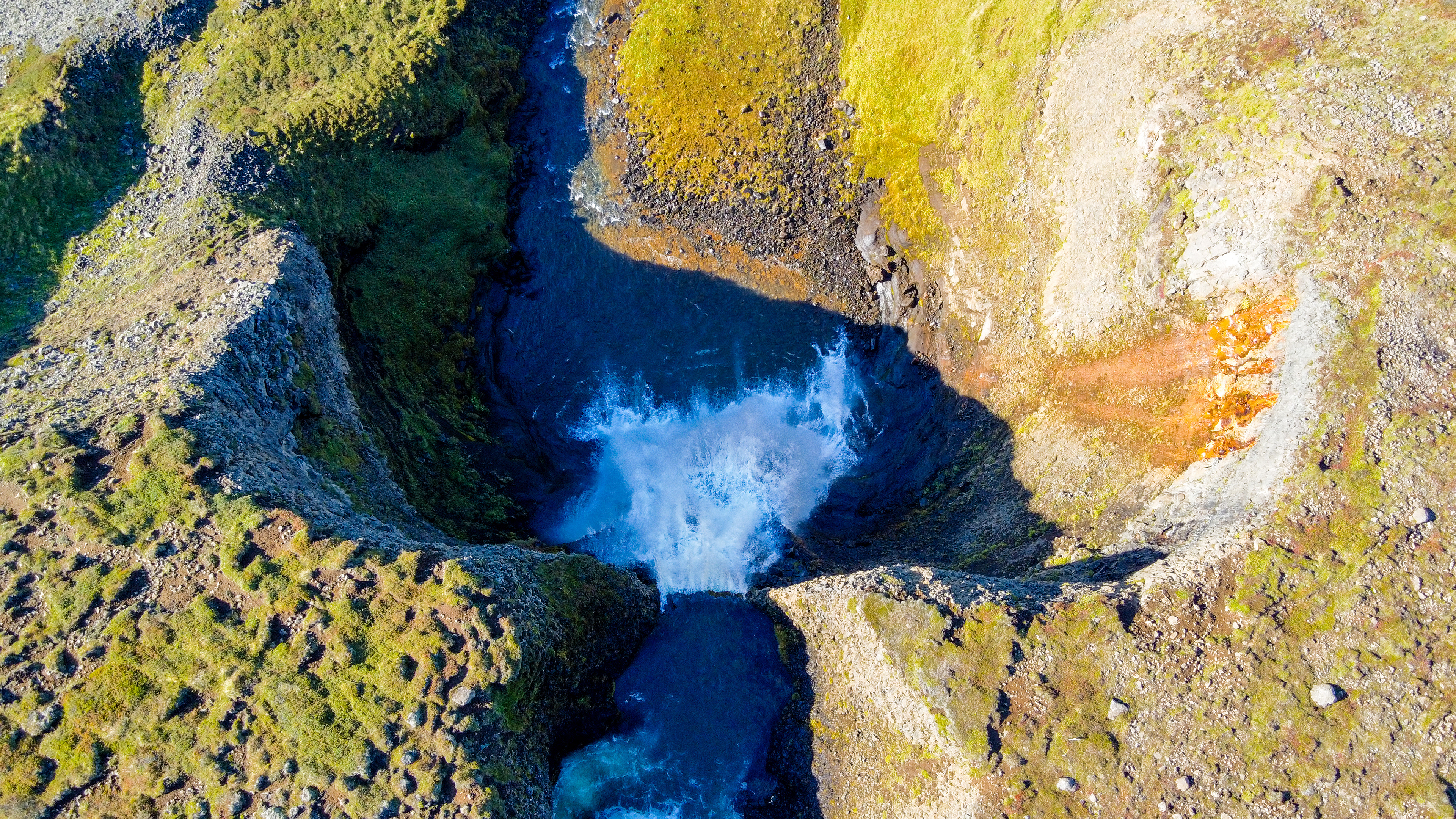
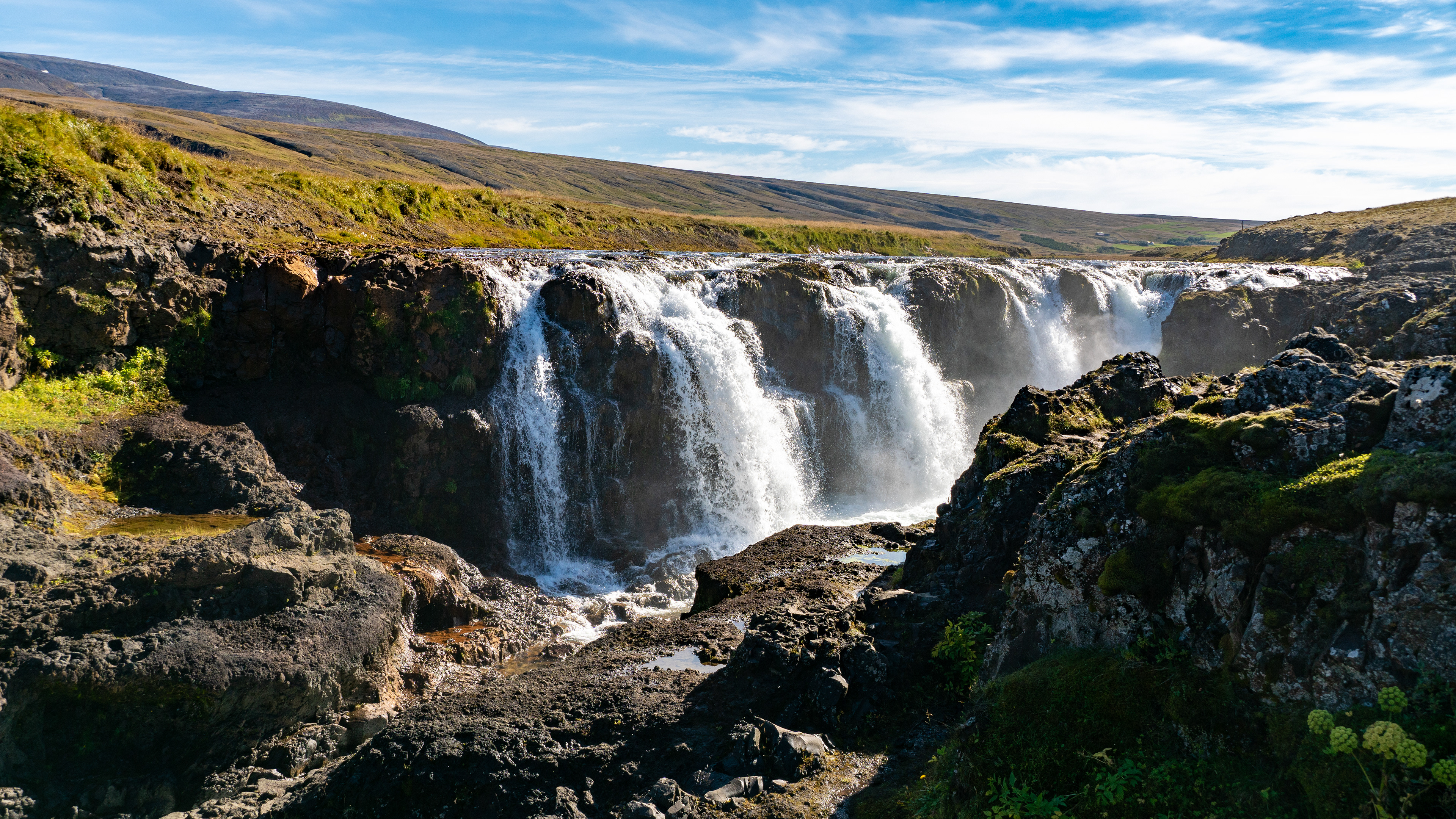
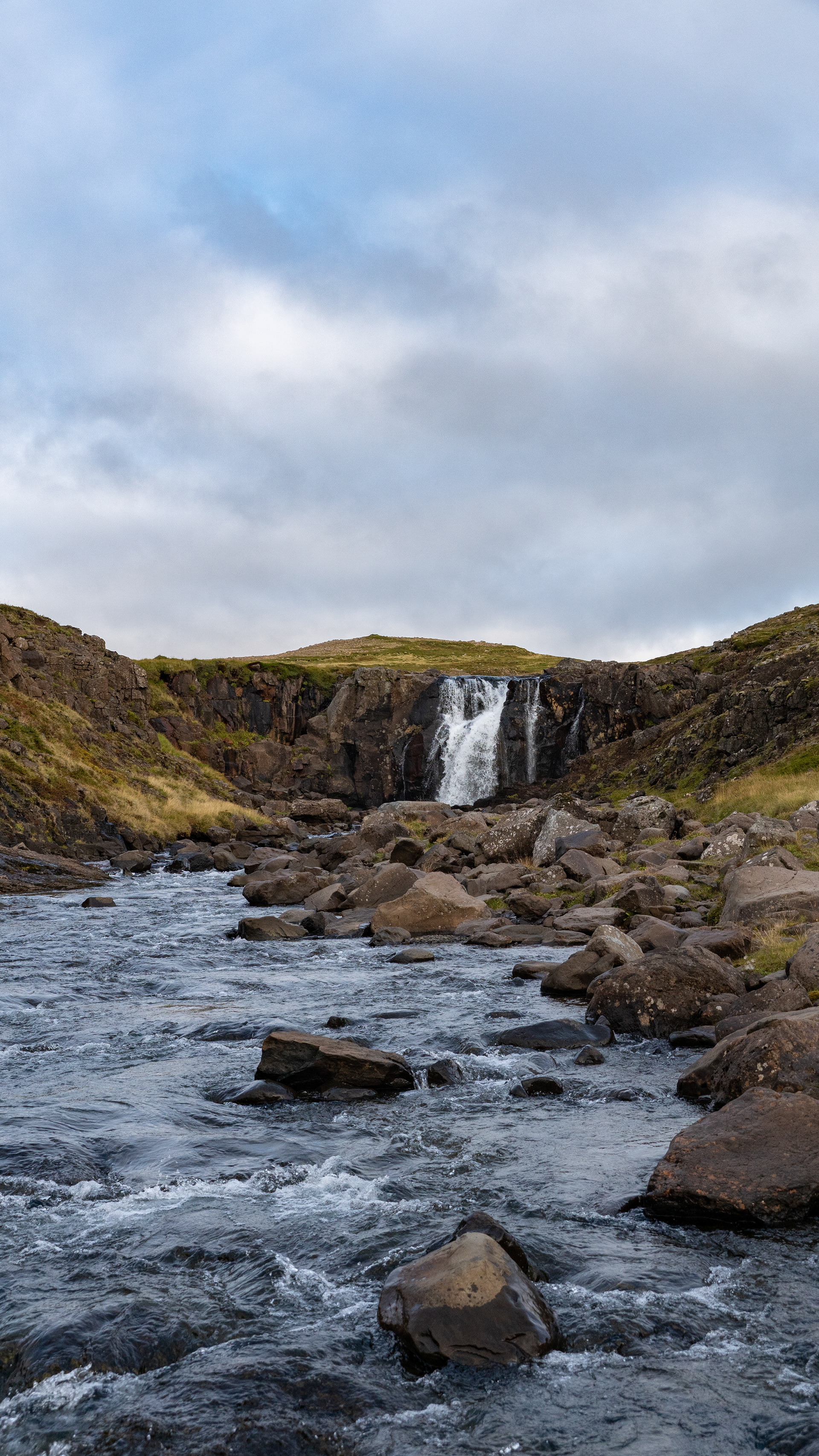
Finally, after a good 2km on dirt roads and cross-country, we reached the Bergárfoss.
However, I'm not sure if only the last waterfall in the valley is called Bergárfoss, or the many small ones on its tributary, are included. In any case, we were able to marvel at a great landscape and, thanks to the drone, capture the entire image.

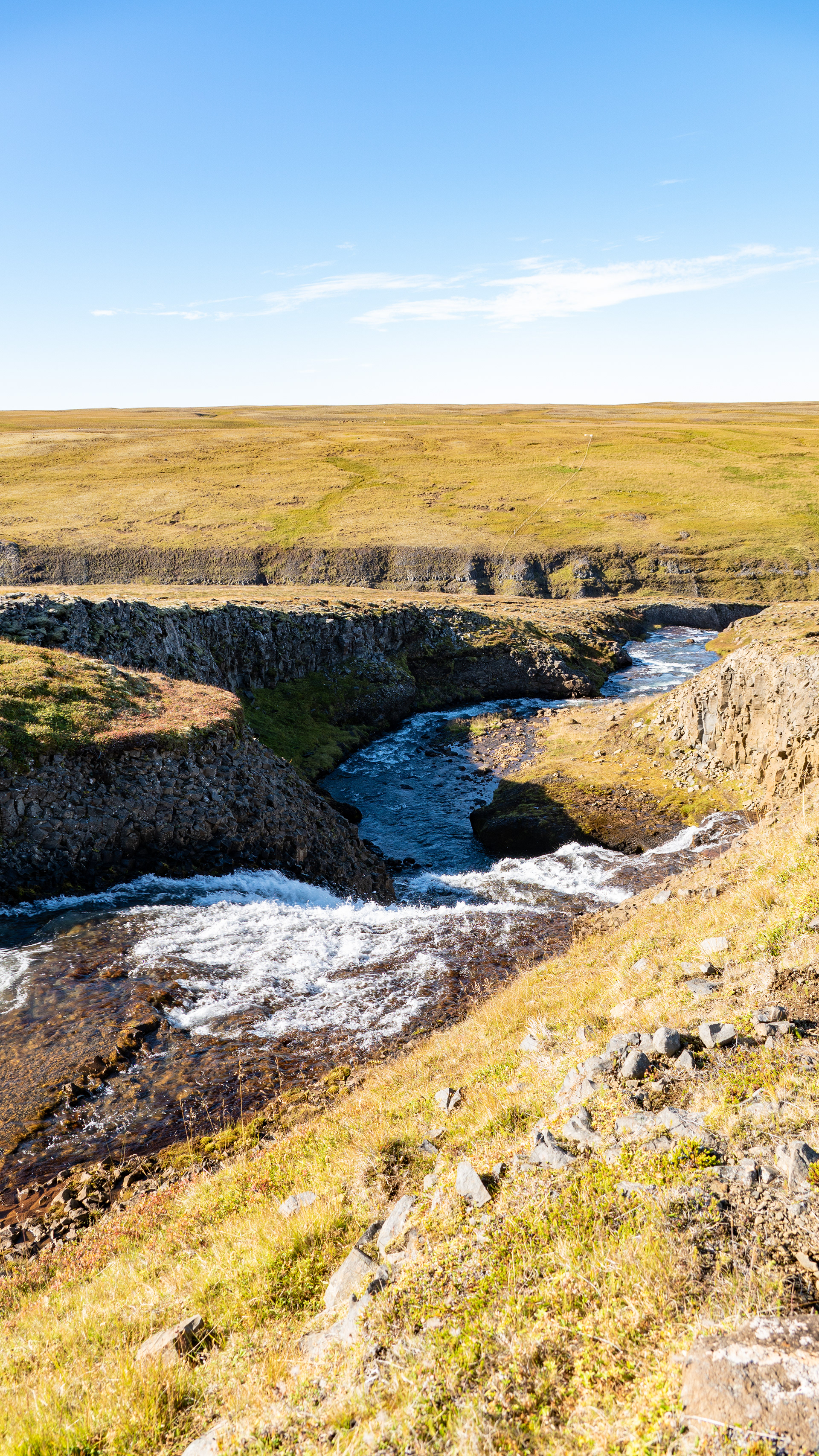
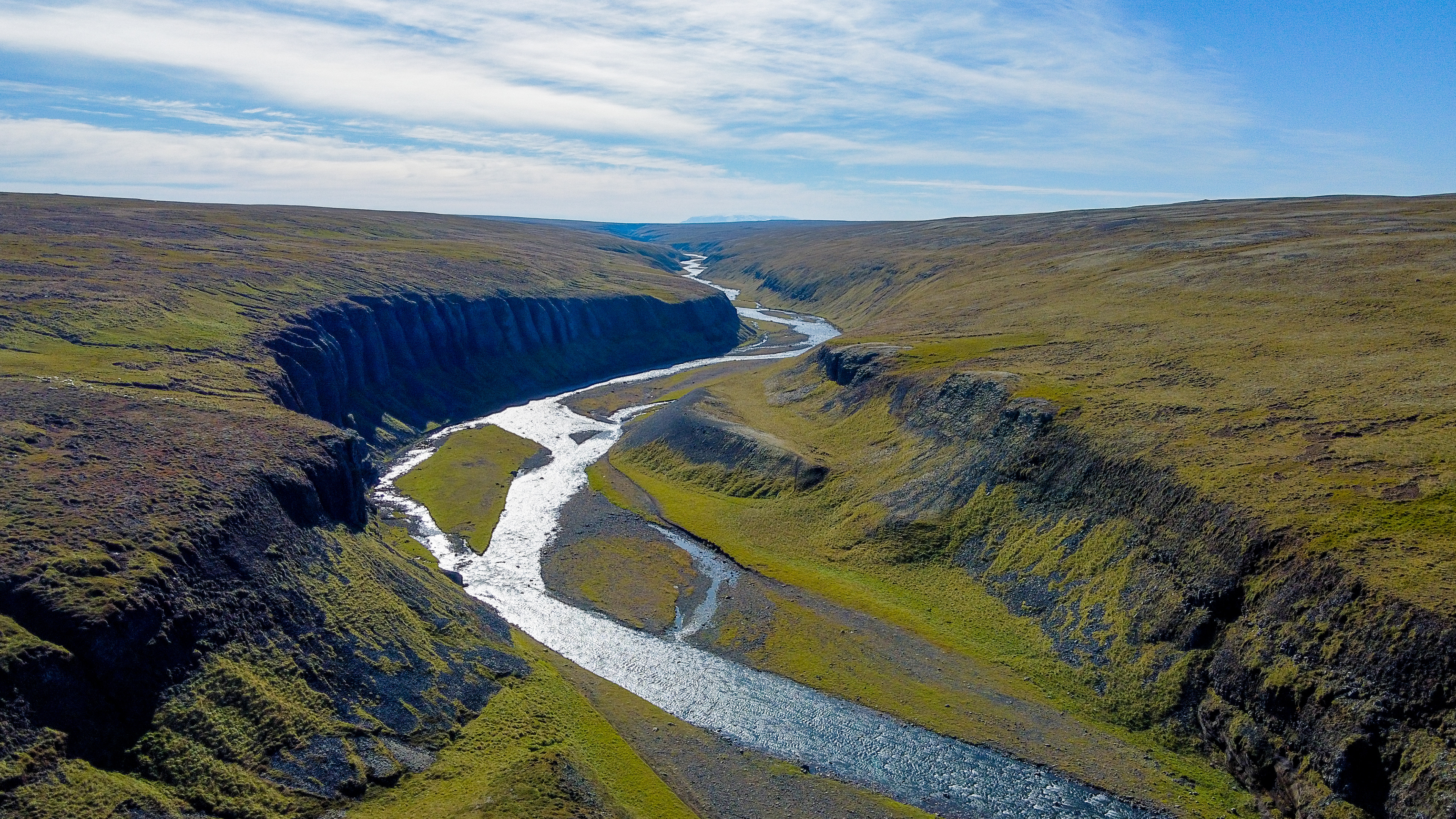
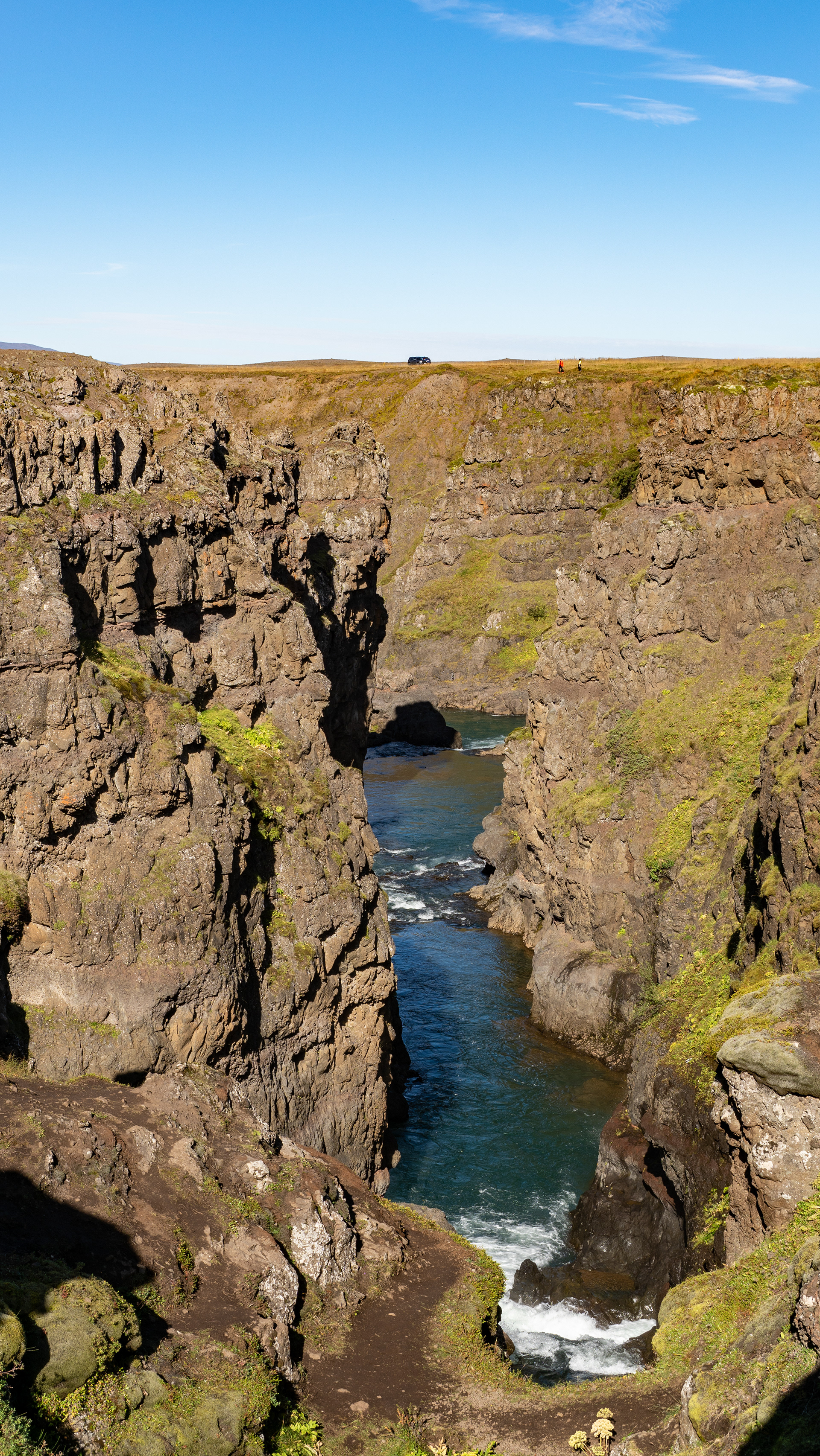
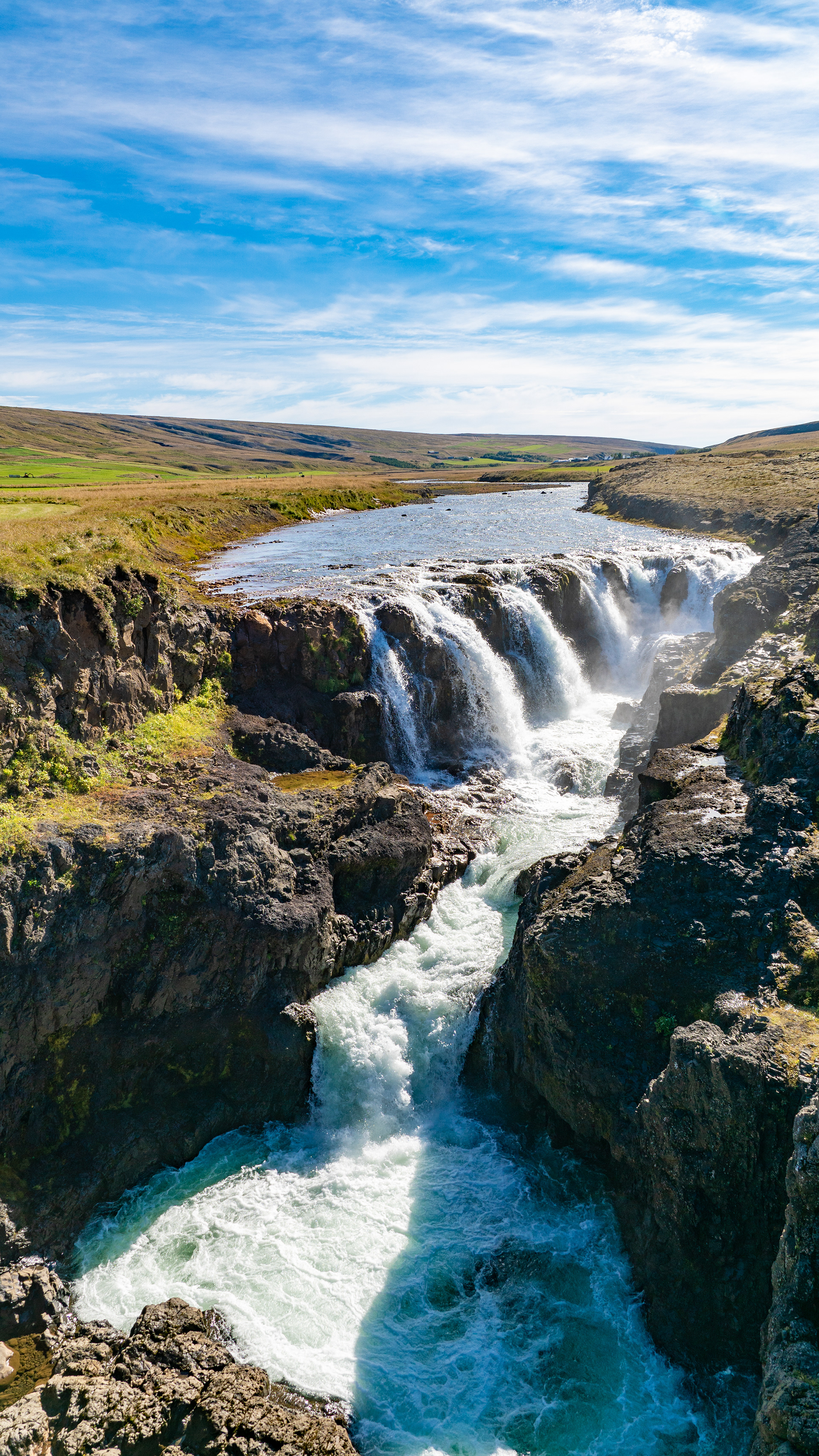
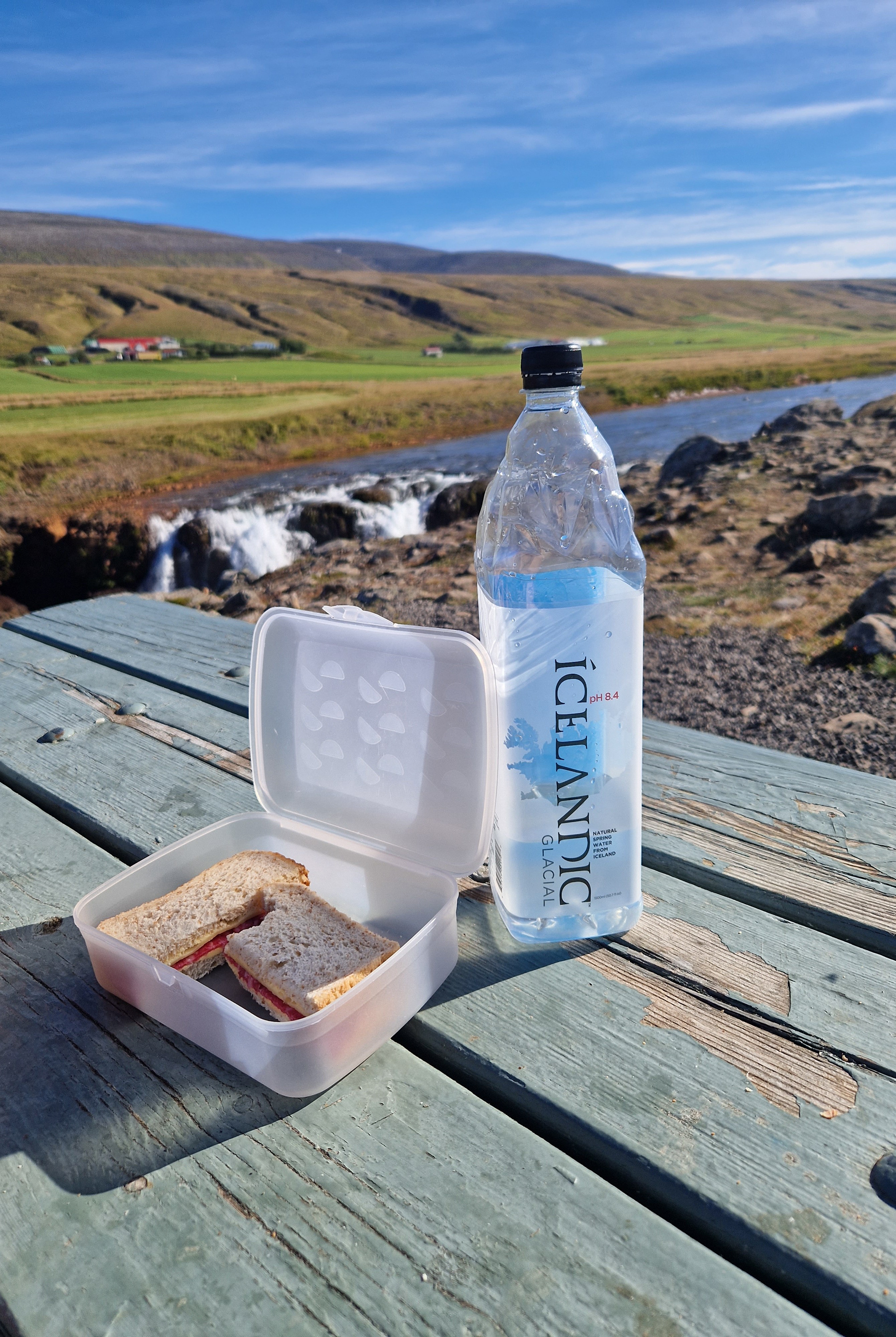
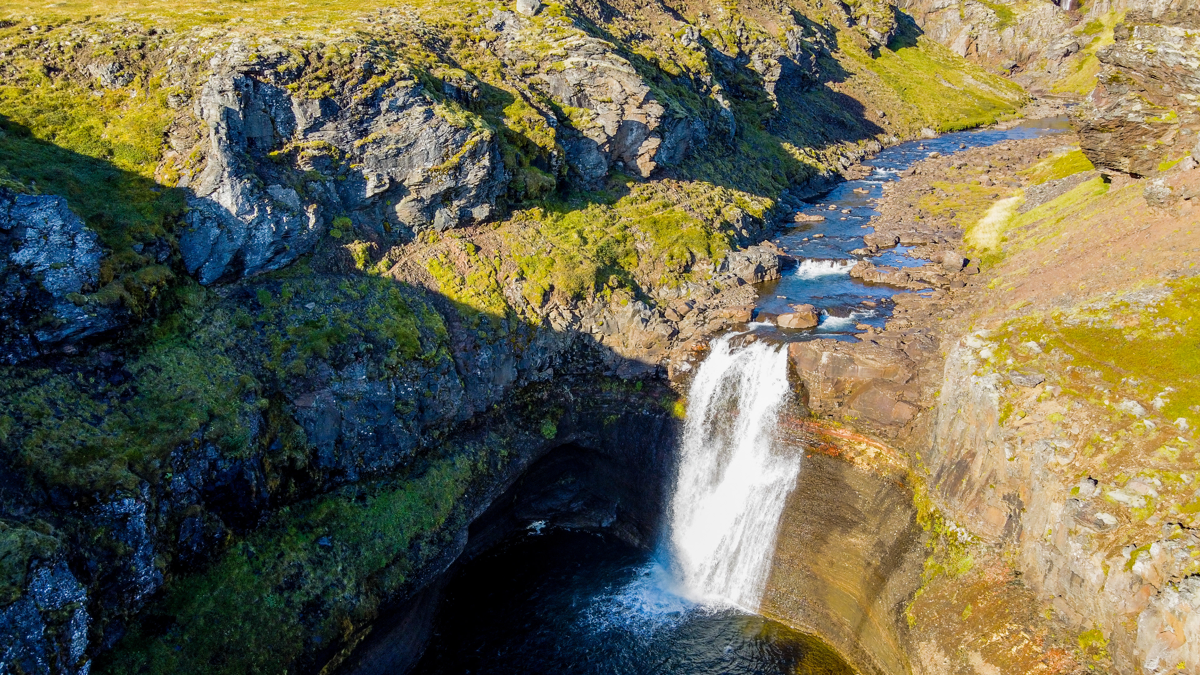
On the way back to the ring road, there was again the Kolugljúfur Canyon.
Also an impressive waterfall (which immediately reminded me of an exhaust manifold) with the associated canyon, which was ground into the rock by pure water power in the millennia before.
Here we allowed ourselves a small lunch break, that what there was mostly when we were on the road - sandwiches.
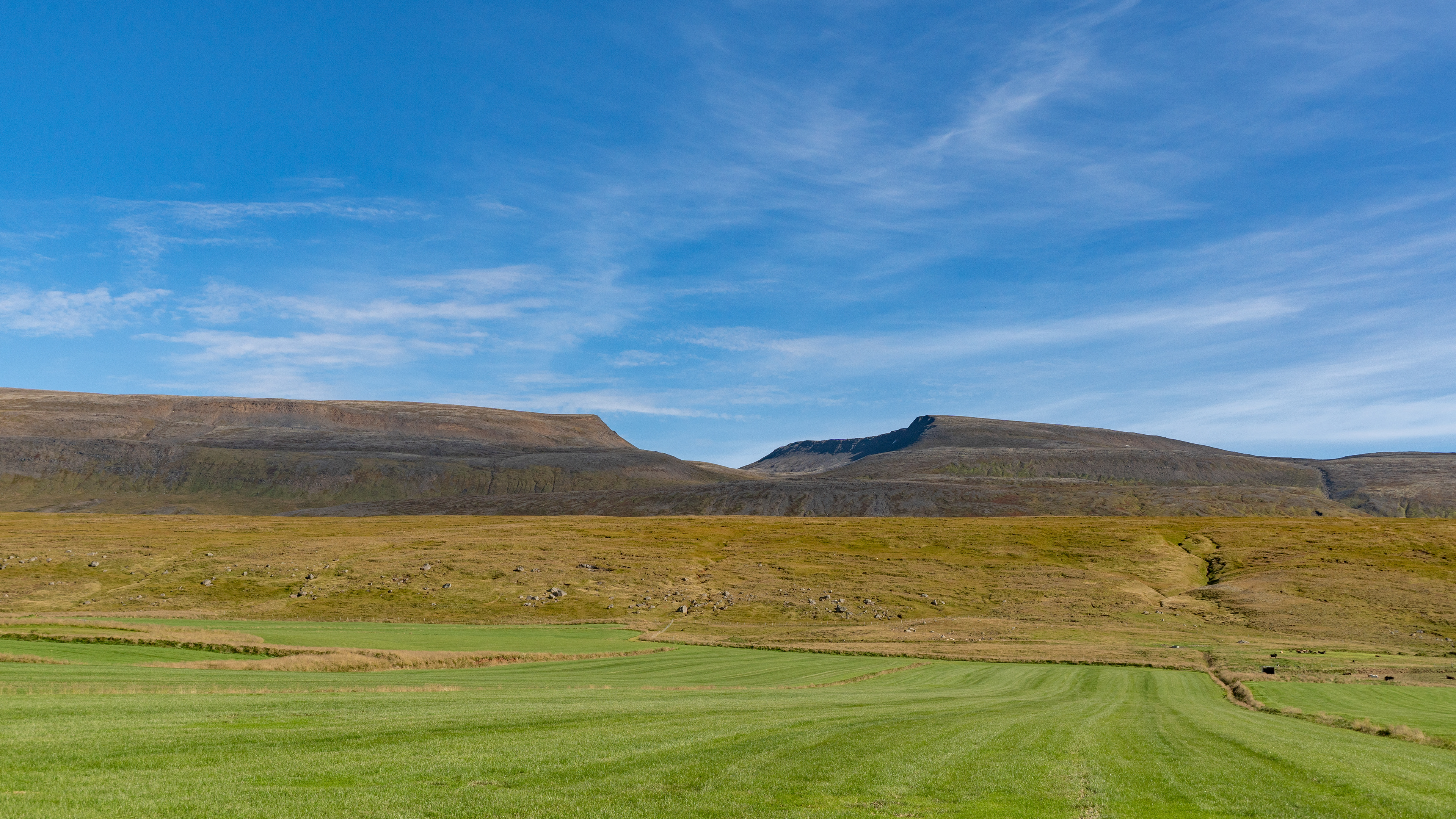
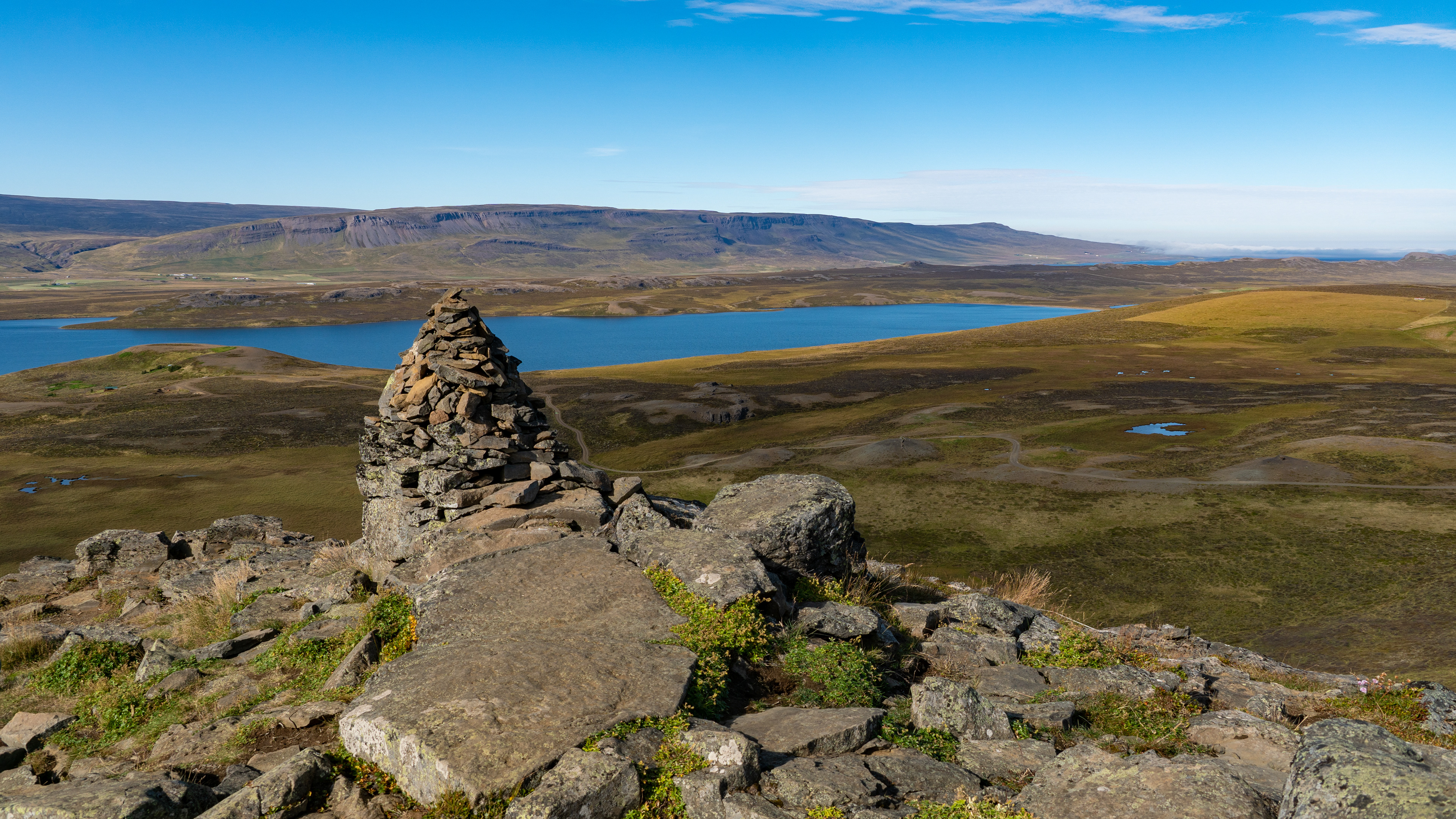
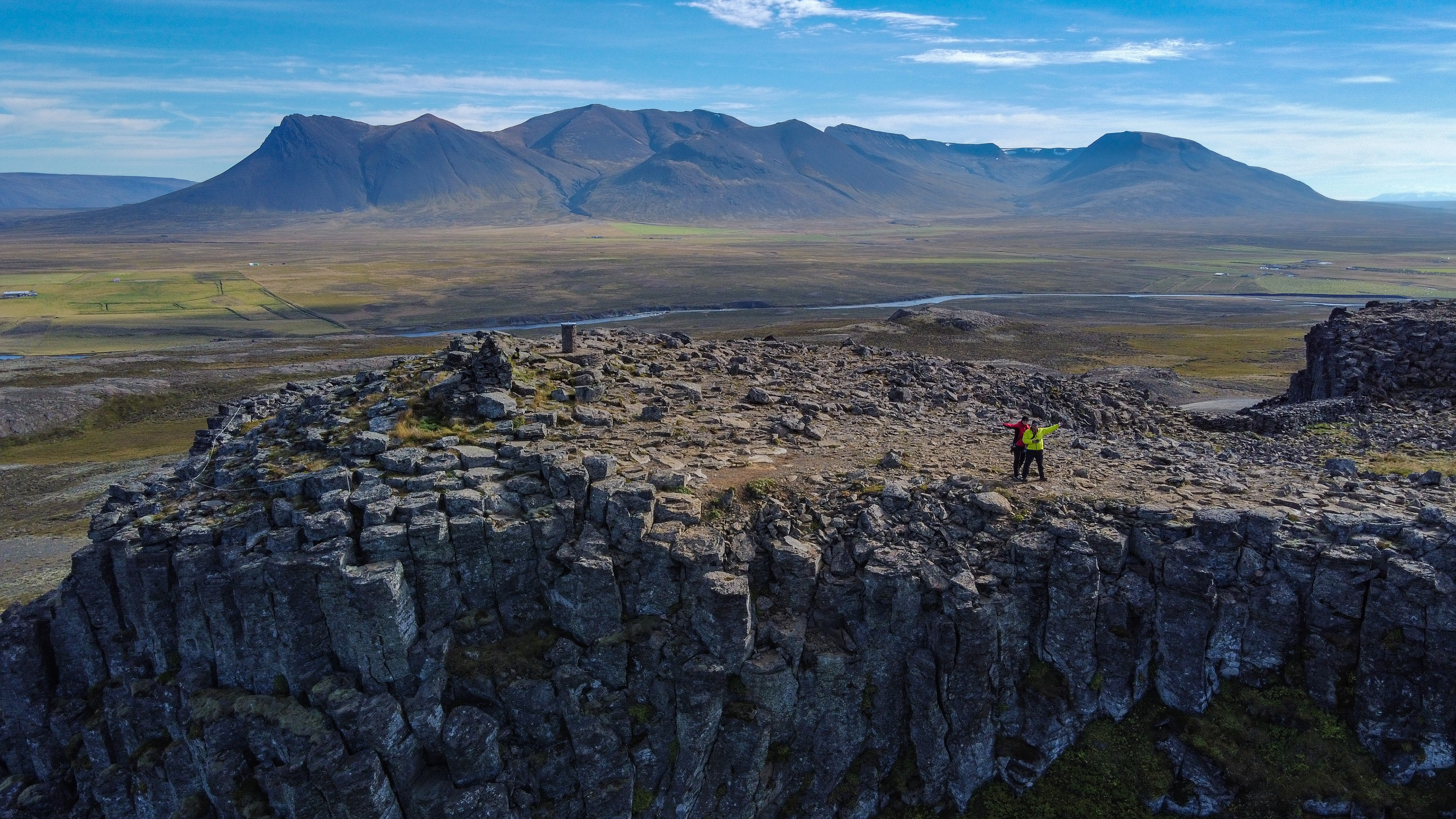
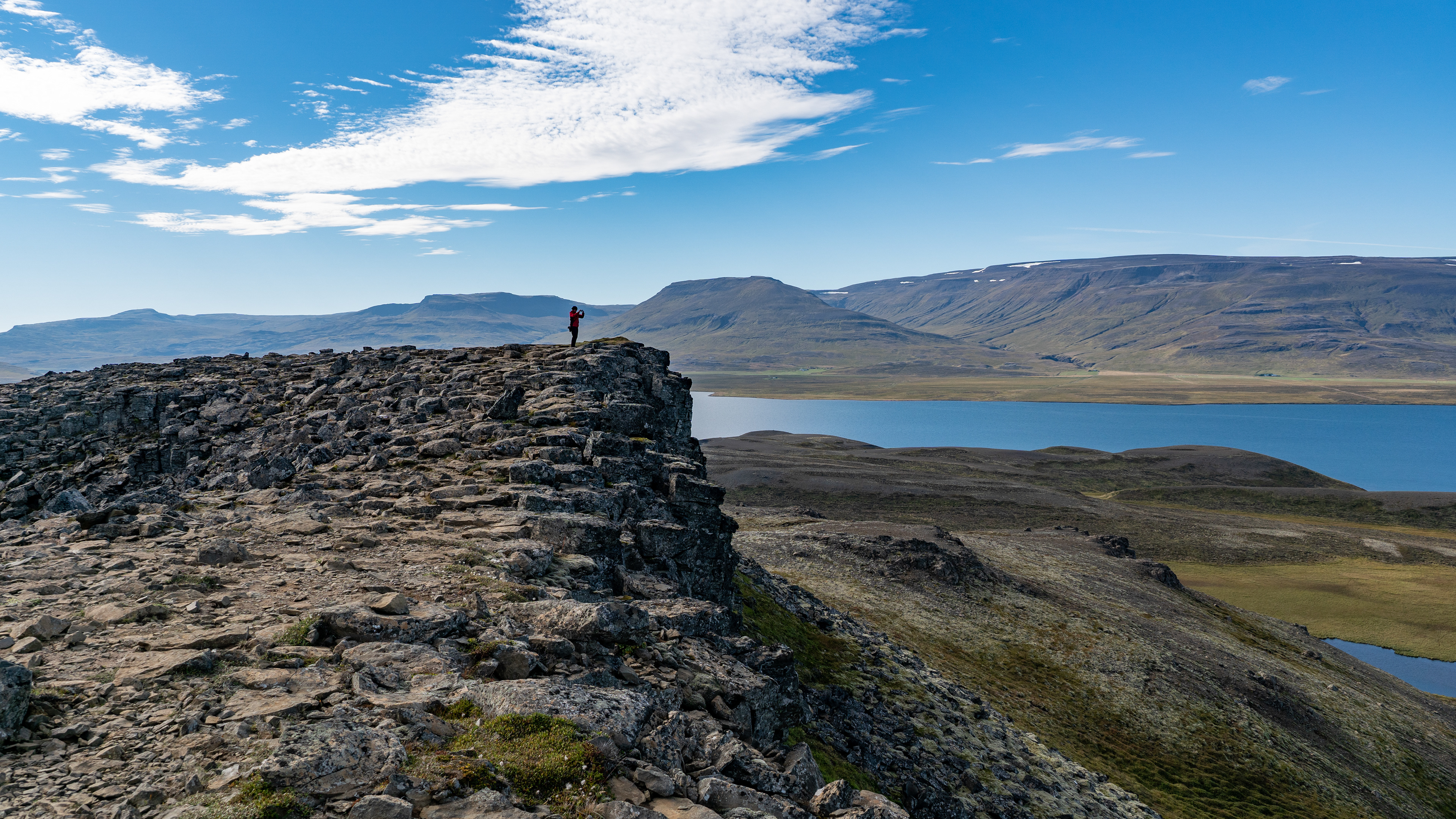
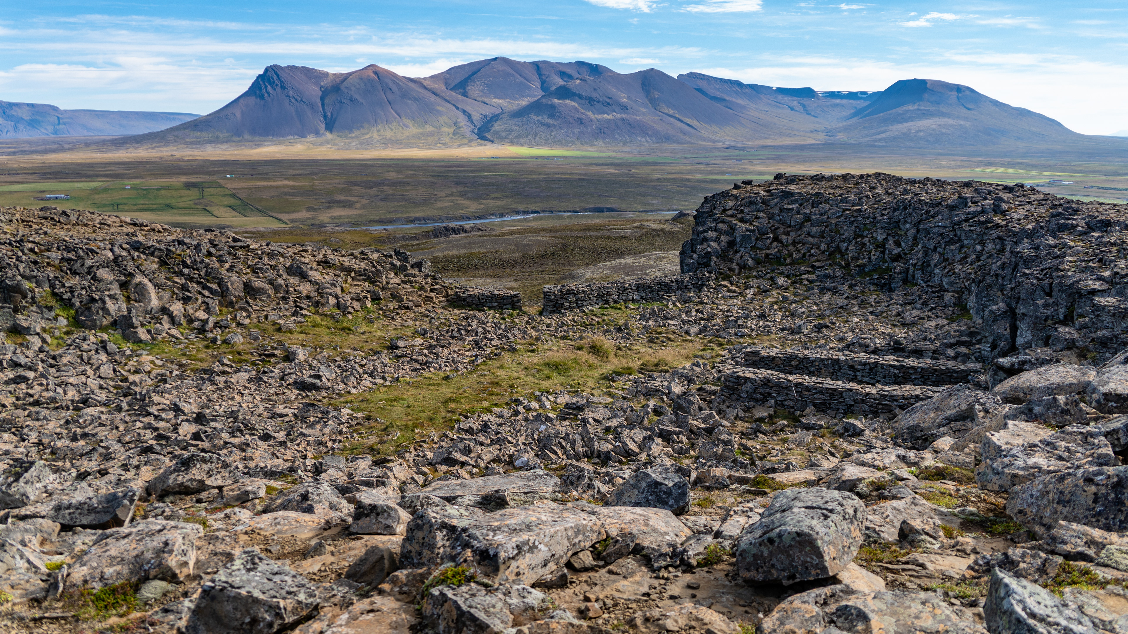
It was not very far to our next stop, and the elevation can be seen from far away.
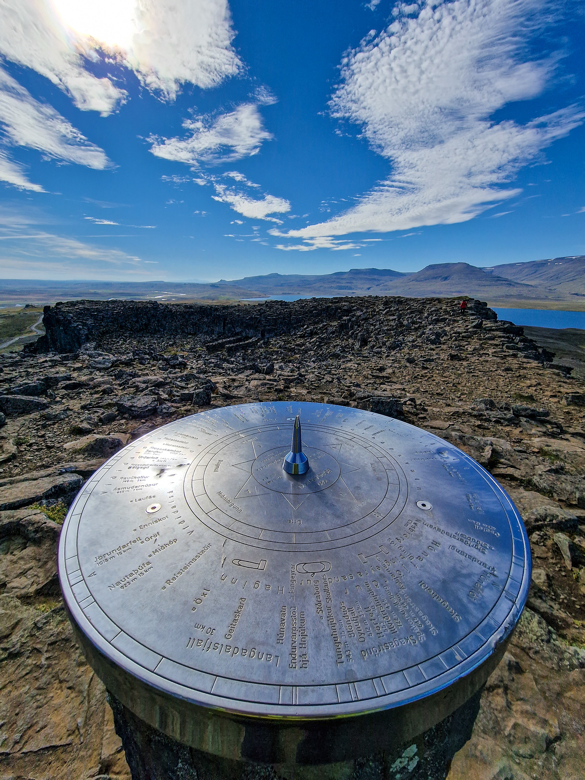
Borgarvirki is a fortress built on the typical basalt columns found throughout Iceland. Since there are different theories about its origin and purpose, the time of its construction in the 10th or 11th century is not confirmed.
Regardless, an impressive structure that rises 177m in this sparsely populated region - the view in all four directions felt truly sublime.


Before we continued the tour to Hvítserkur, we wanted to stop at a church off the route, which I had discovered on Google Maps. The marking turned out to be wrong, that can just happen sometimes.
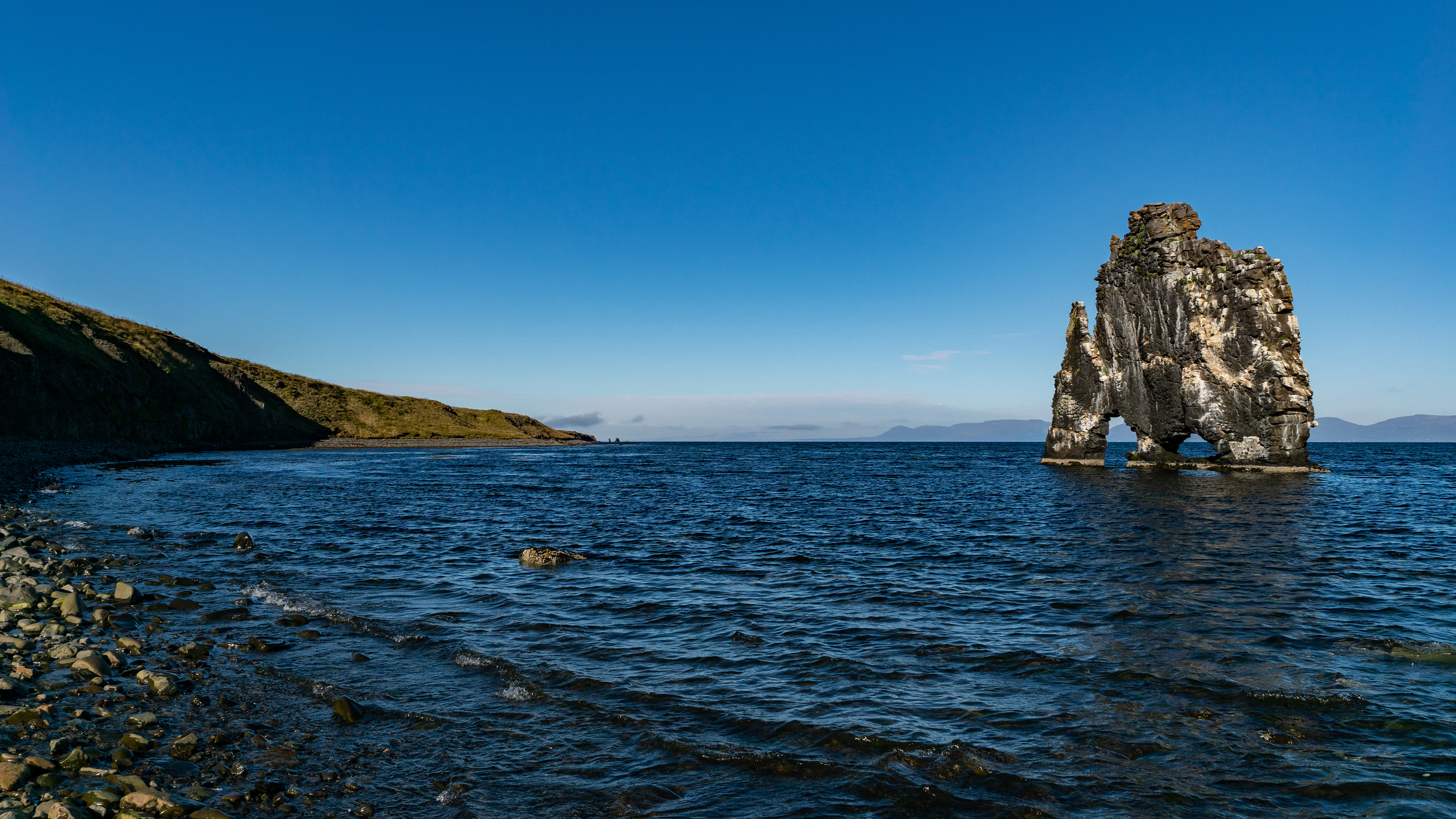
As we drove towards Hvítserkur, the whole sky darkened within a few minutes.
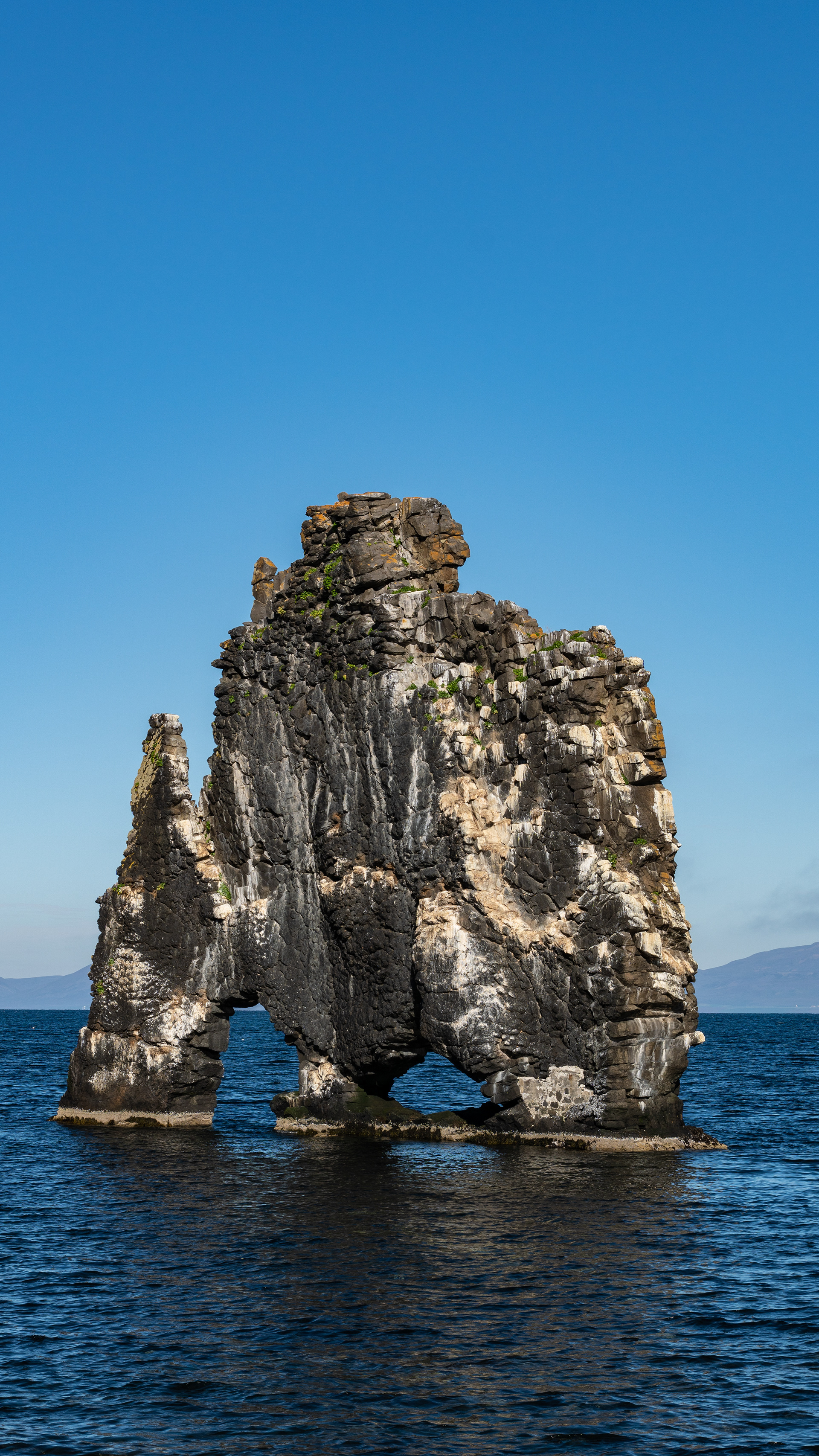
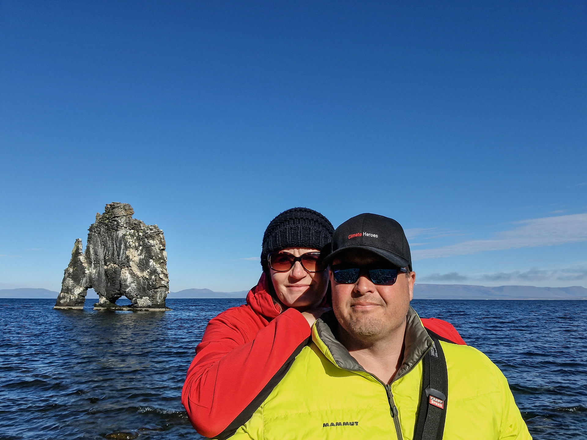
The worry about a change in the weather was unfounded though, already a few kilometers further the coast cleared up again and the Hvítserkur presented itself in front of a blue horizon.
This time we also took the time to climb down the cliffs to the beach to be as close as possible to the petrified troll. Unfortunately it was high tide, at low tide the beach reaches to his feet of the troll.
According to the legend of the petrified troll, he threw stones at the church on the opposite side of the fjord and did not see the sunrise - since then he stands petrified in the fjord.
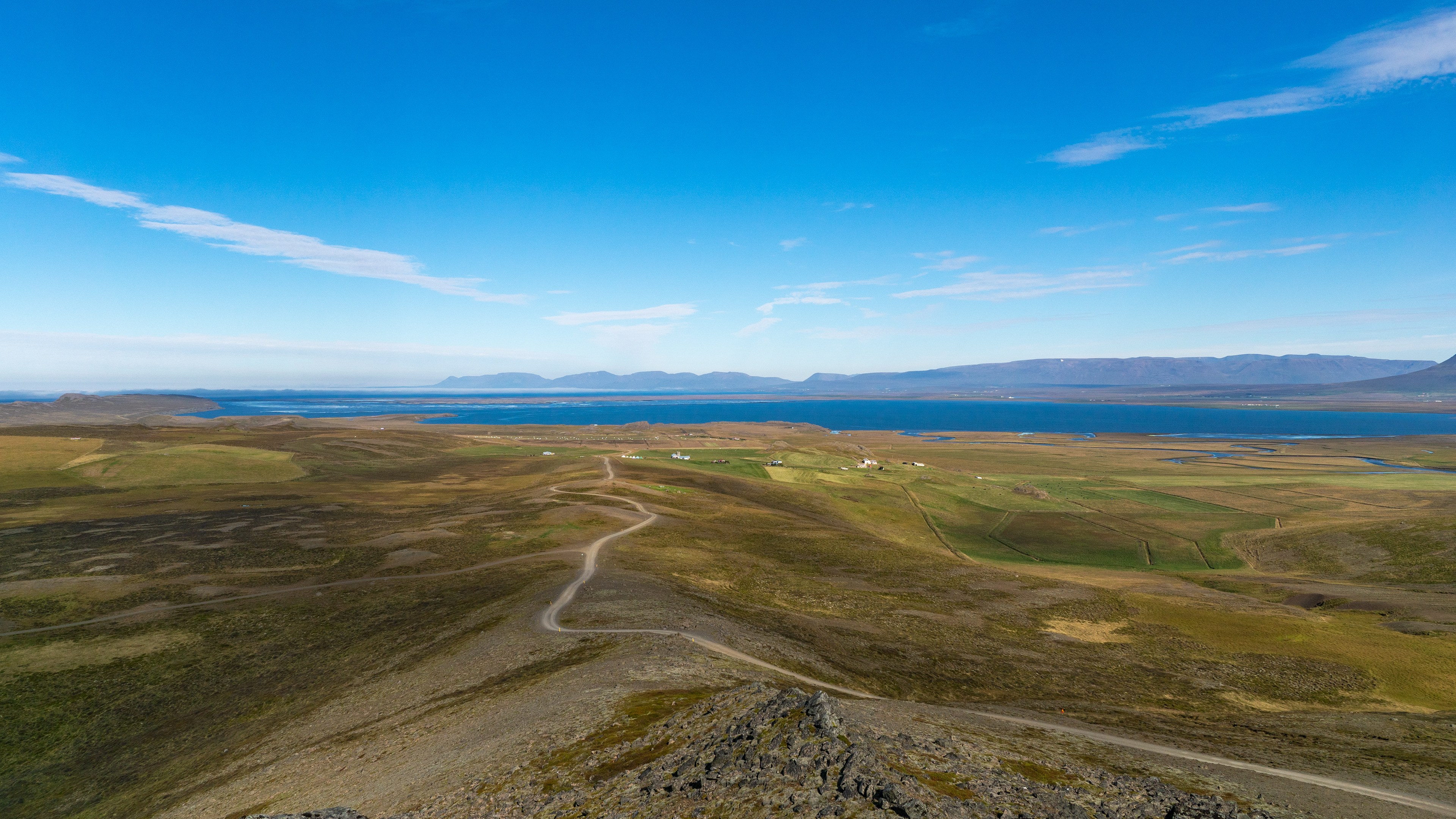
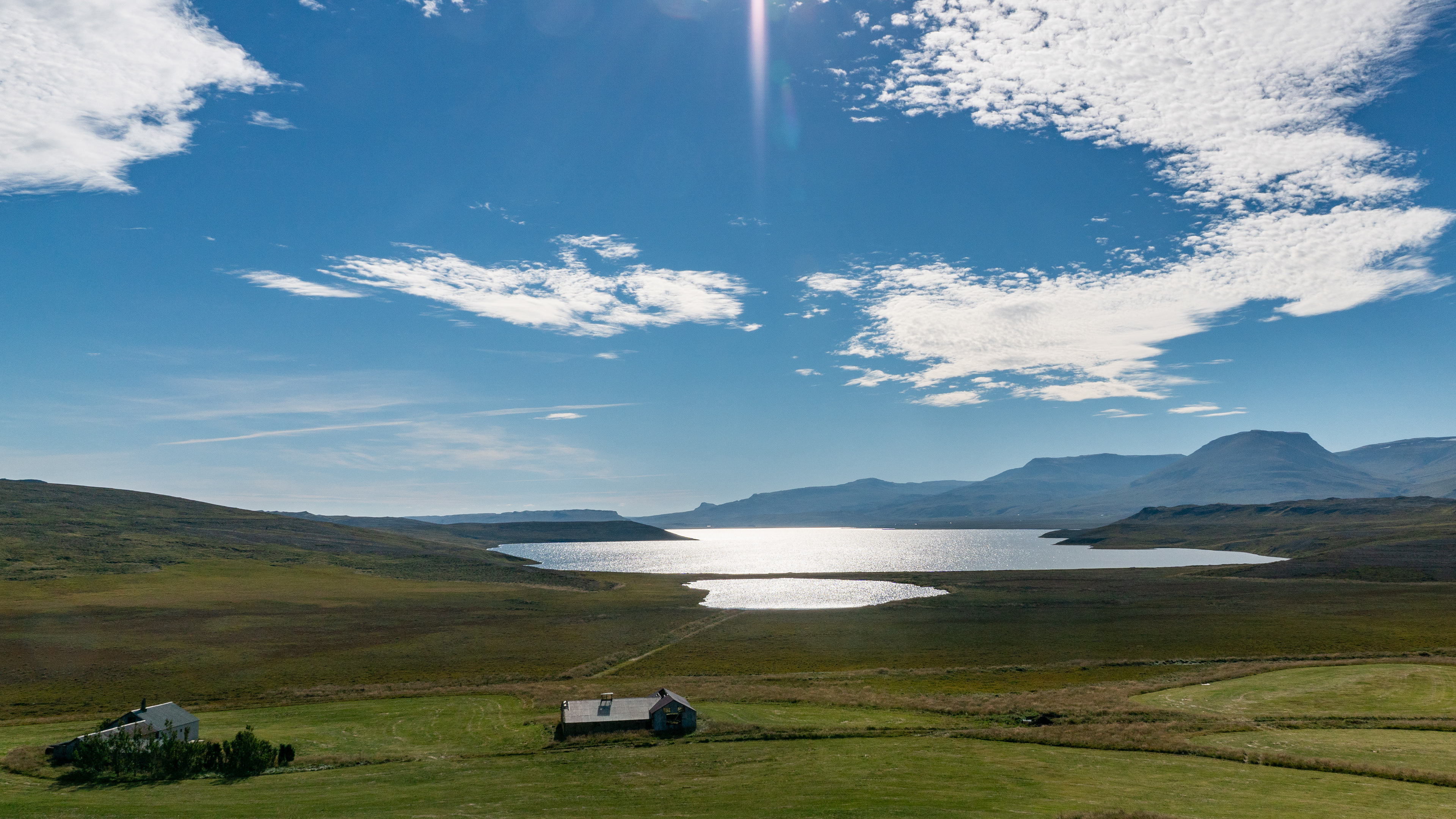
Originally I had planned to circle the whole region once on the coast during this day trip. But since there would be little significant churches & lighthouses to see on the basis of the markings in the maps, we made our way back from here to approach the Viking House Eiriksstaðir from the east.
Unfortunately, the 586 was closed after a few meters, the sign was only in Icelandic, without symbols. So we could not interpret the reason for the closure and had to turn around.
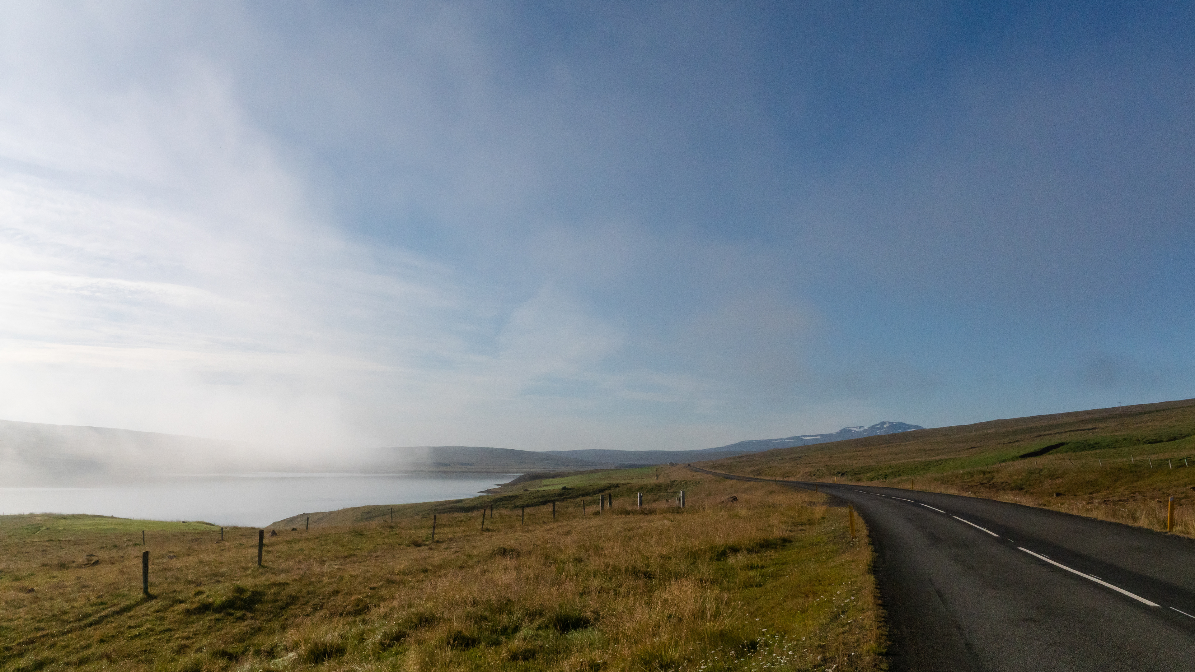
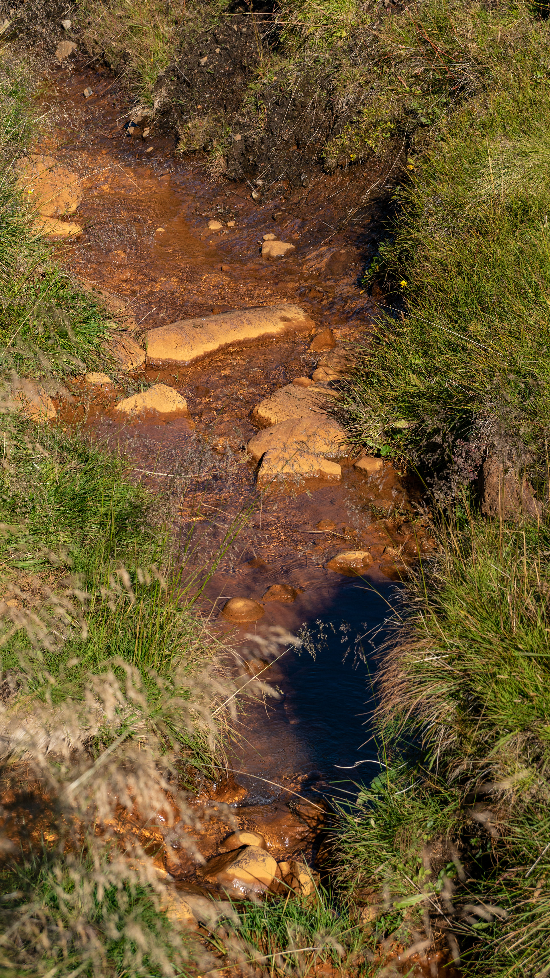
So the return trip should go again over the 59, this time we could also recognize the landscape. In the process, we discovered only a few hundred meters of the road, a waterfall that was not listed on Google Maps.
This is basically nothing unusual for Iceland, as there are many small waterfalls that appear only after rainfall, or in the spring after the snow melts.
At least the outlines on the map suggested that it is a river that has water more often. A search at home then also yielded a name: Kristínarfoss

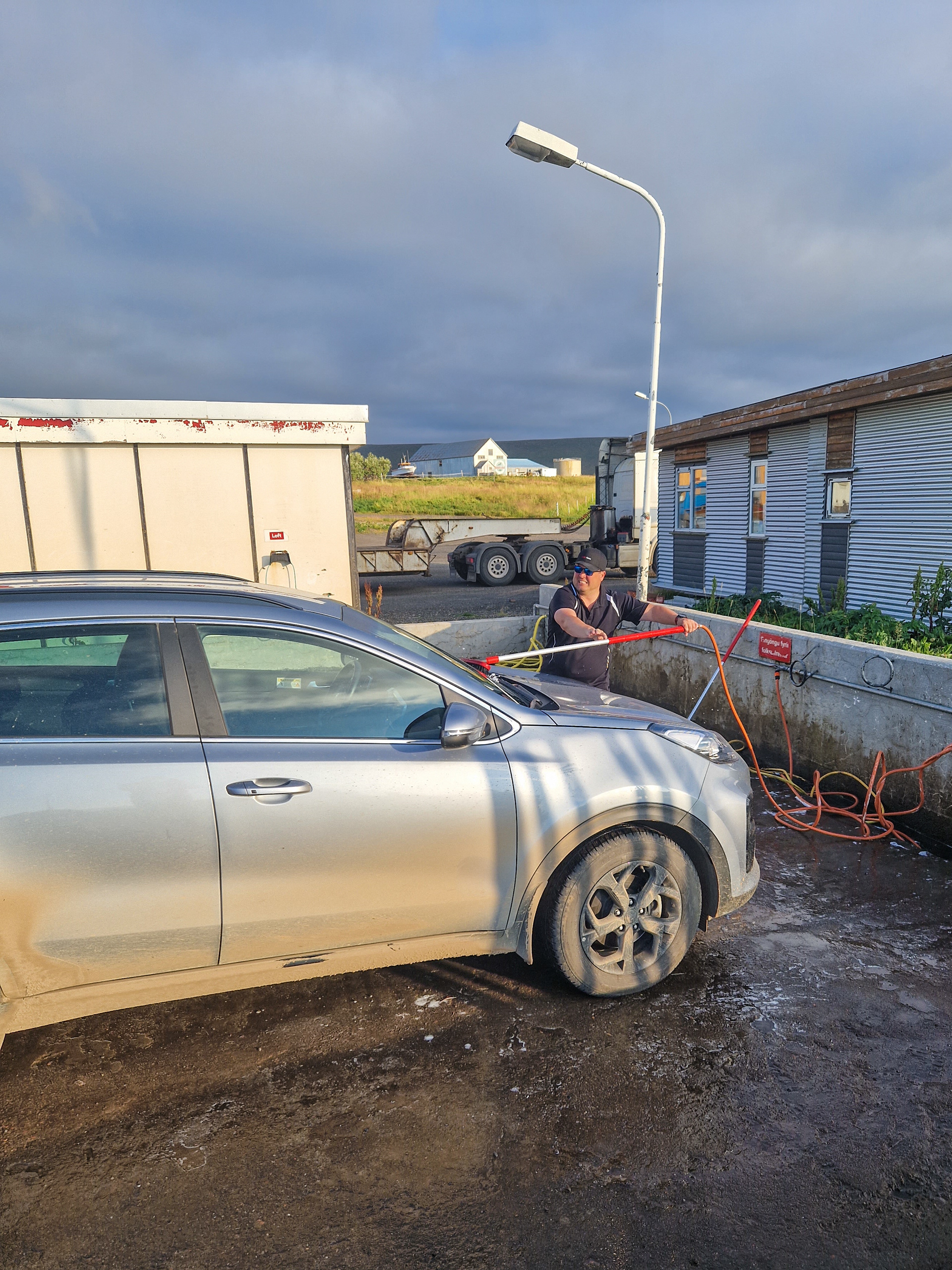
Since you could hardly recognize the original car color on our car, I had to go to the car wash, water temperature: ice cold
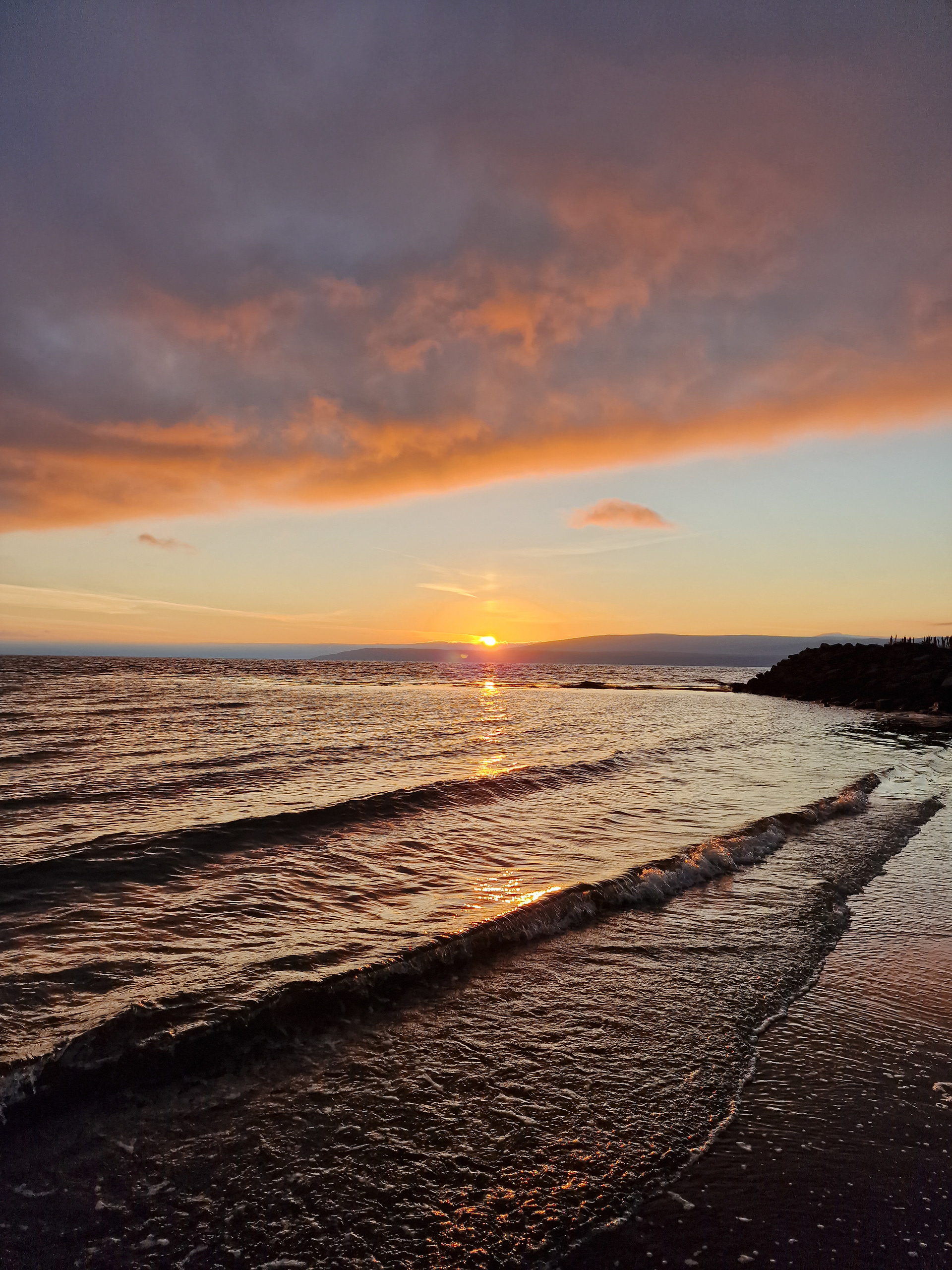
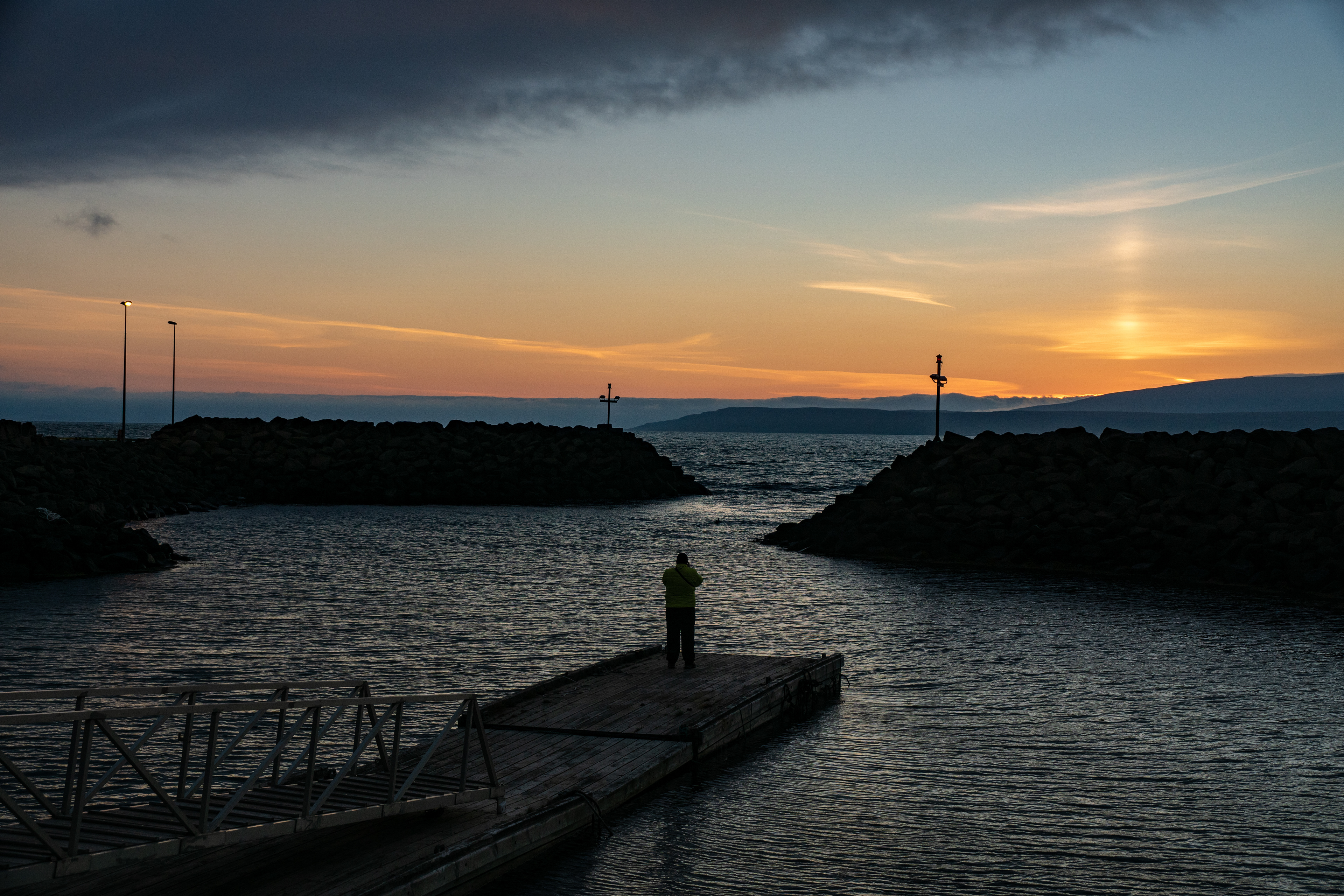
Arrived at the cottage, the sun was already slowly sinking towards the horizon to the next sunset.
We used the beautiful mood for a walk along the beach and to the small harbor that there is in Búðardalur.


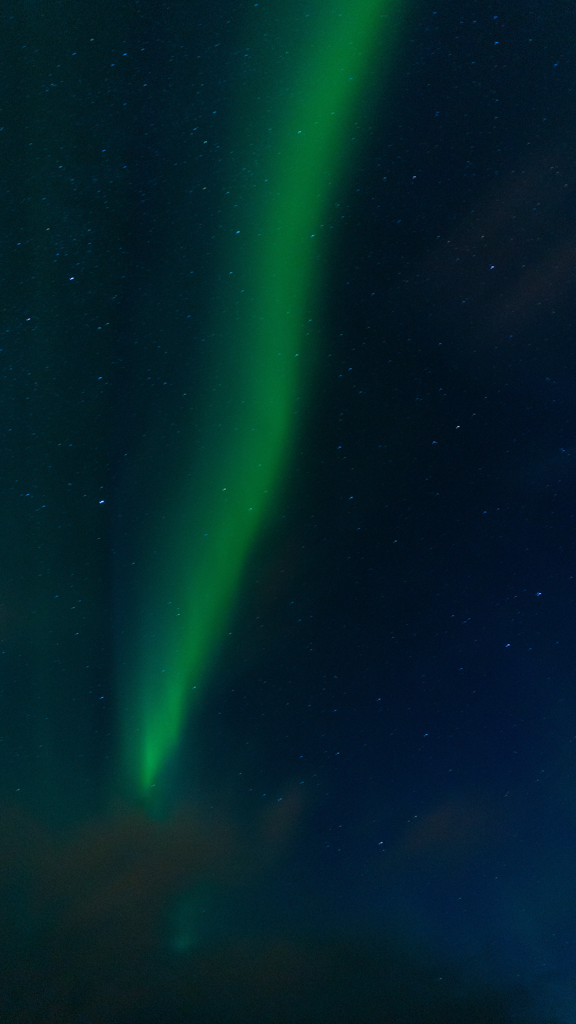


The end of the day should not be the sunset, but our very first northern lights, which we saw in the flesh.
Since they were not very pronounced, they were visible in the sky only as a white veil, only in the photos the colors came out.
Good night Aurora borealis!