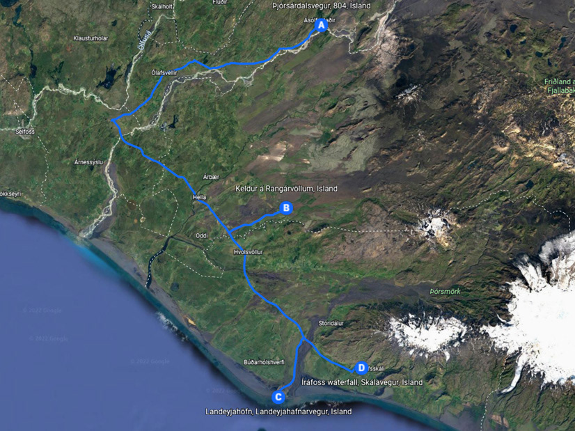

After yesterday's rainy day in large parts, we were unsure for which direction we should decide for today?
According to the weather app, it should be in the direction of the center of the island, so the highlands, although not rain-free, but better than in the coastal regions.
We decided to do our planned tour to Landmannalaugar.
In advance, the tour today had for itself only three goals which are known as sights.
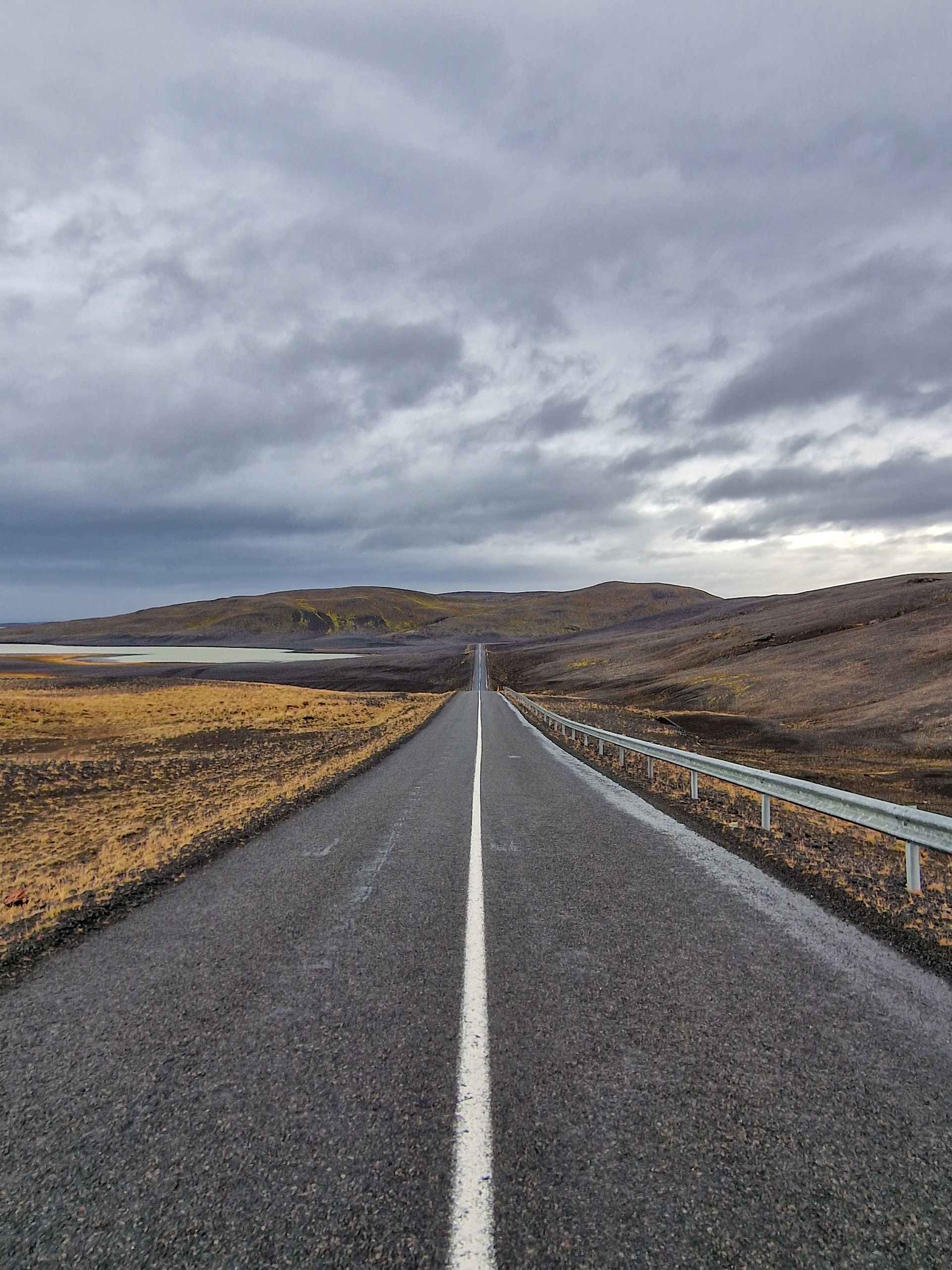
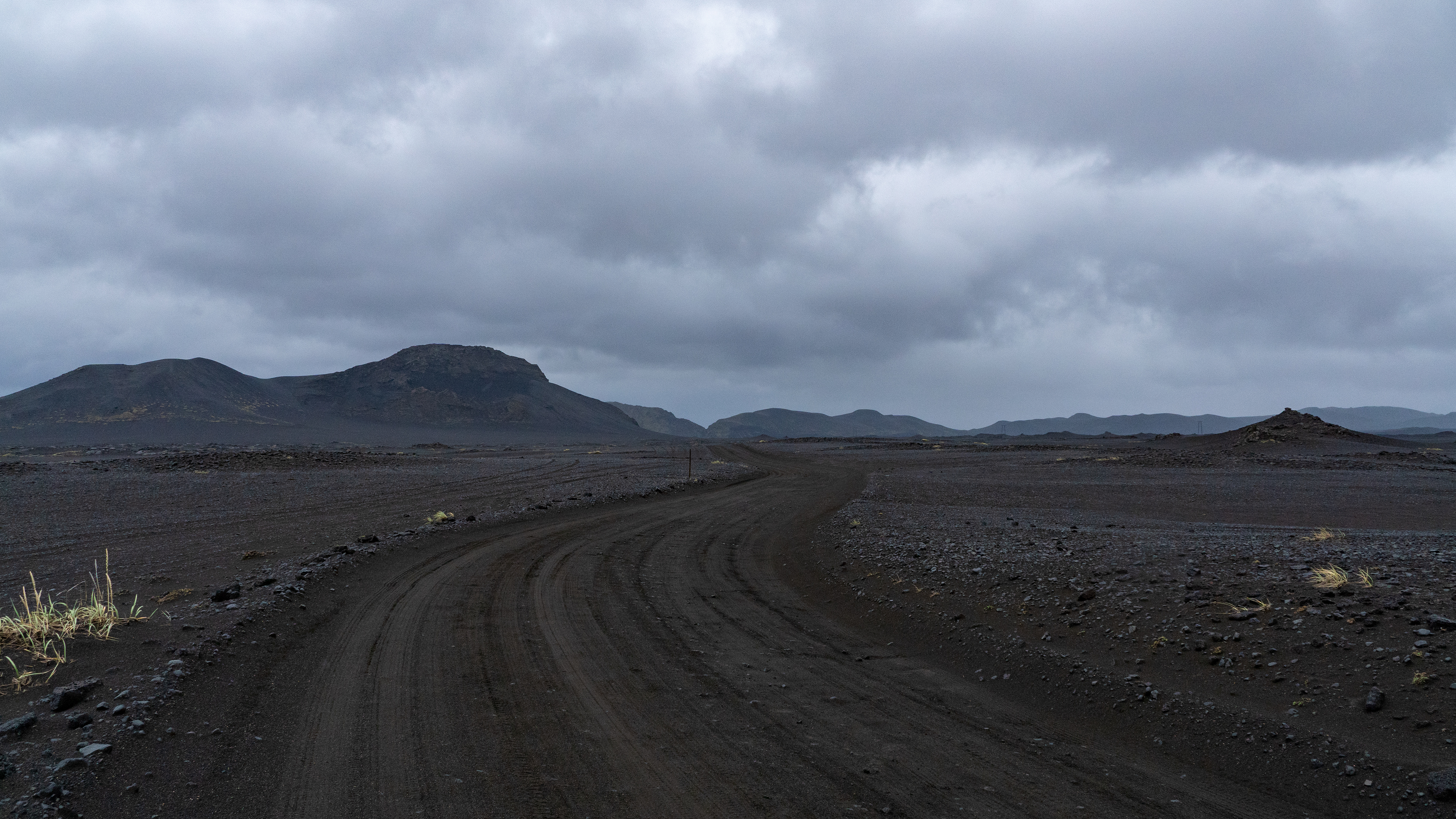
Today most of the pictures will be of the driving route.
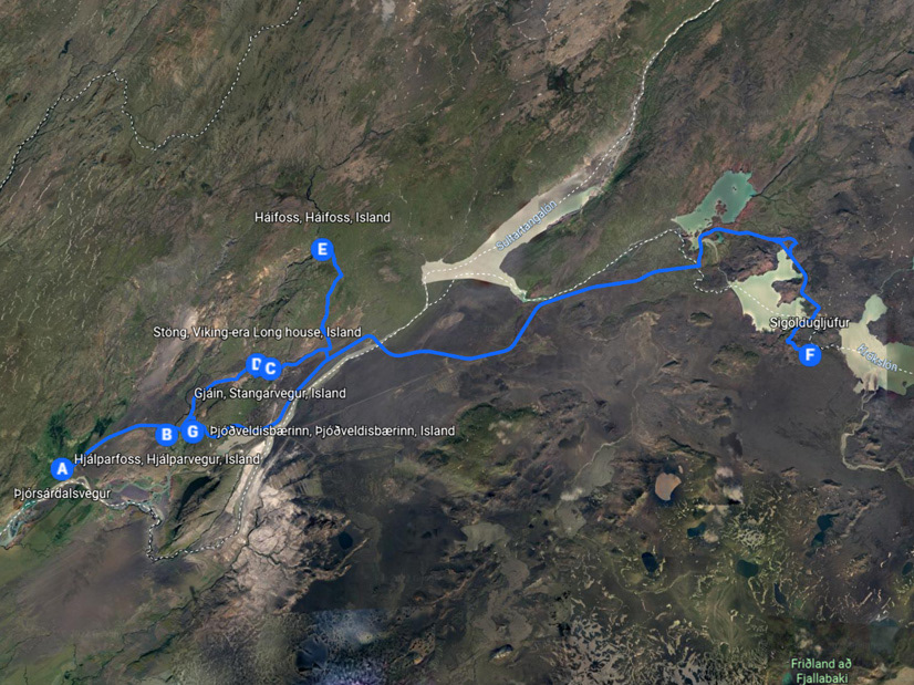
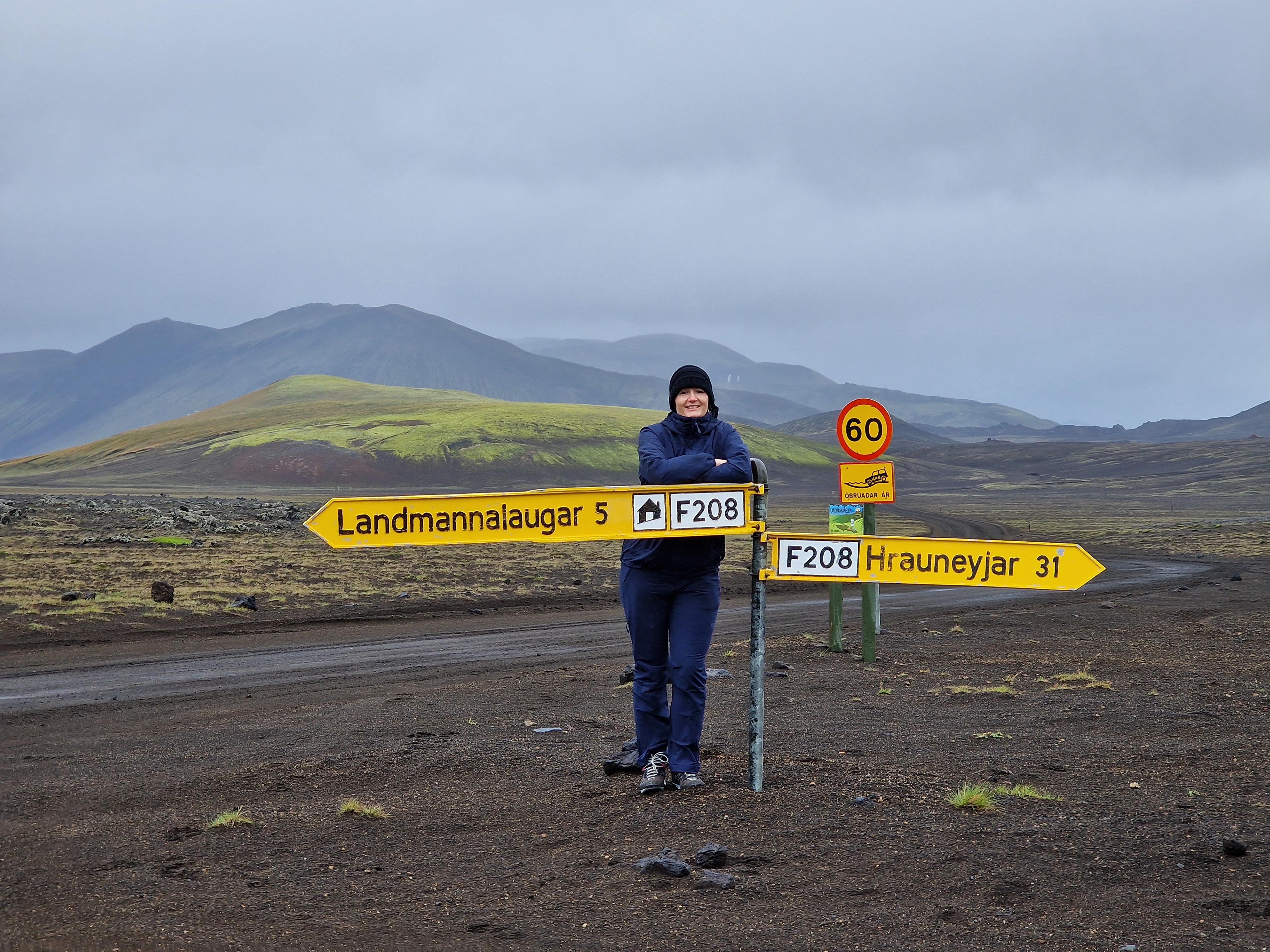
A short detour we made still on the 26 in the direction of Hella, since there are two roads to Landmannalaugar.
But then we decided to take the F208, because we already knew a piece of it, and the other one neither got an F nor a number.
According to the weather app, it should be in the direction of the center of the island, so the highlands, although not rain-free, but better than in the coastal regions.
We decided to do our planned tour to Landmannalaugar.
In advance, the tour today had for itself only three goals which are known as sights.
Today most of the pictures will be of the driving route.
A short detour we made still on the 26 in the direction of Hella, since there are two roads to Landmannalaugar.
But then we decided to take the F208, because we already knew a piece of it, and the other one neither got an F nor a number.
Back to the F208
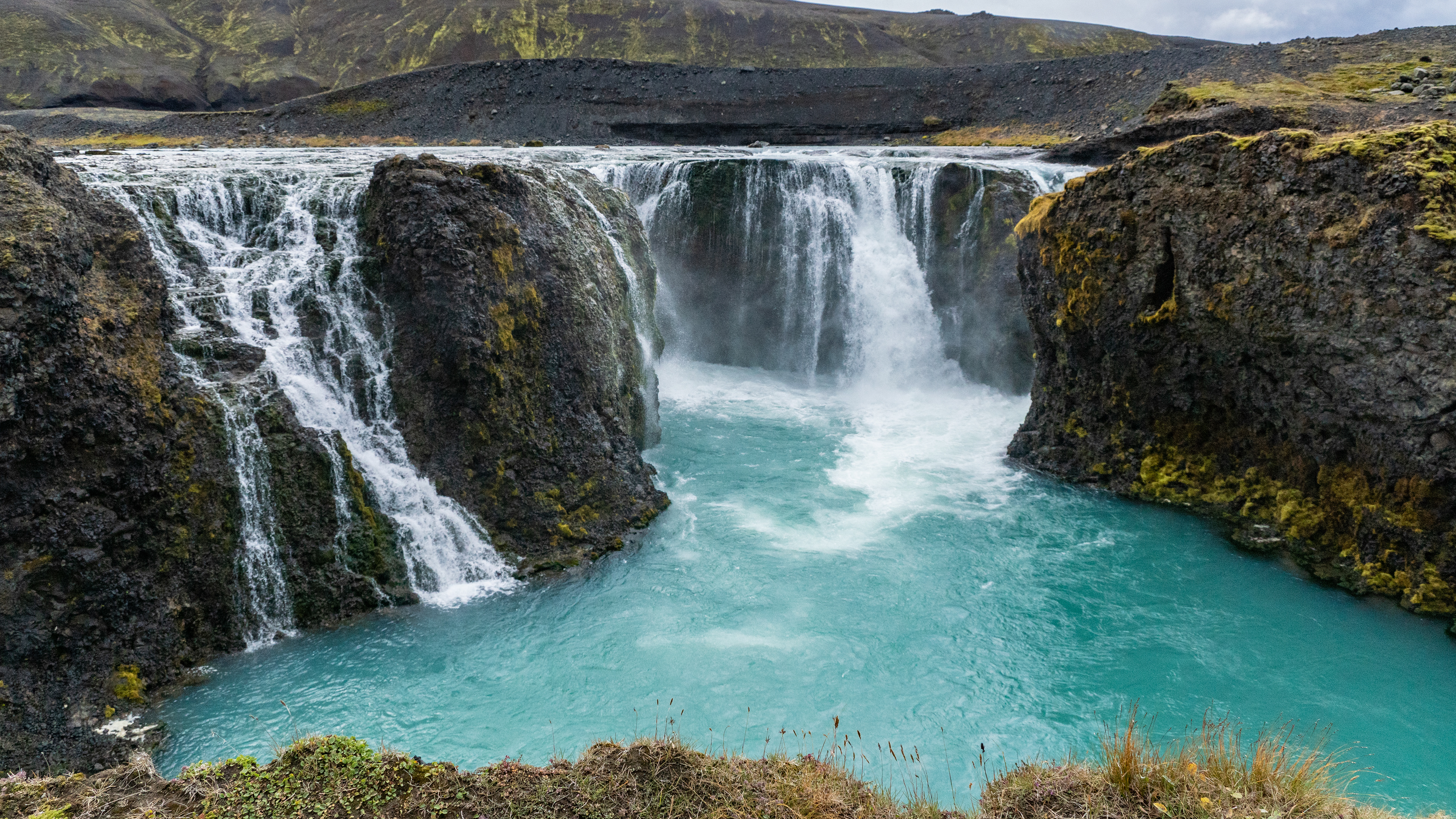
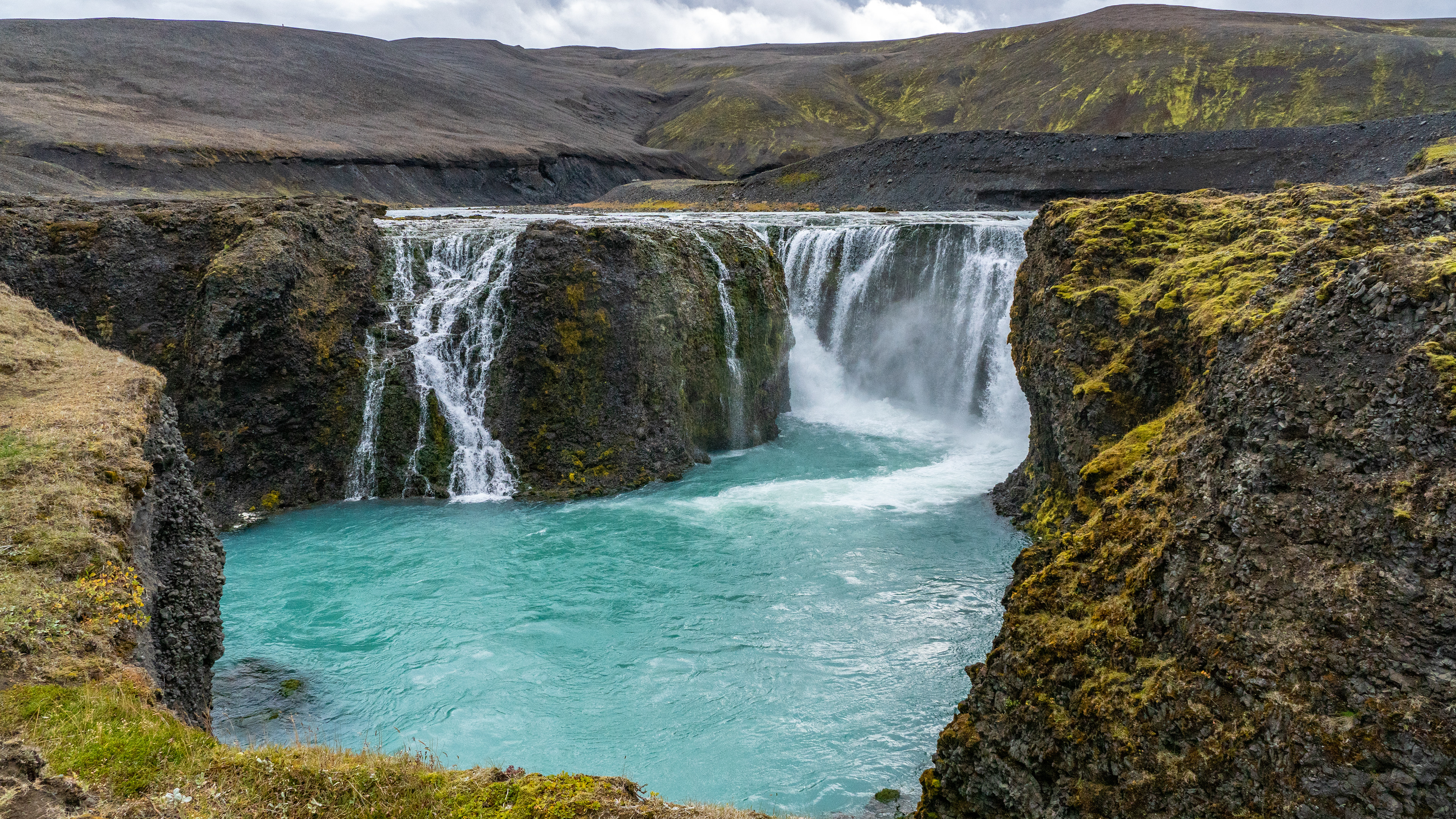
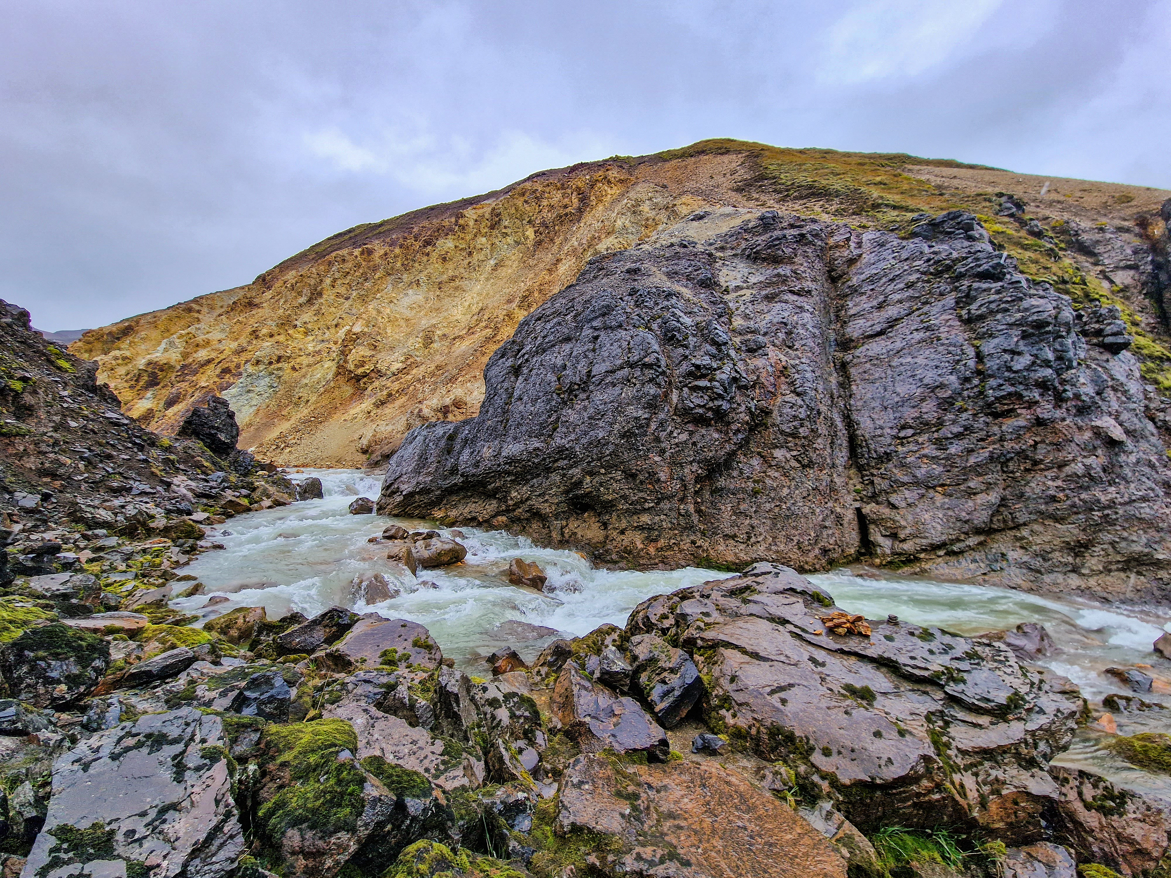
Our first planned stop was Sigöldufoss, it is fed by the river Tungnaá, special feature is its often turquoise water.
The external conditions were quite hard today already at the first stop.
The wind was so strong that we could only approach the edge because it came from the front and that in an inclined position.
So at least there was no danger of being swept into the gorge.
The last time we experienced such strong wind was in Vienna in 2014 with then violent squalls.
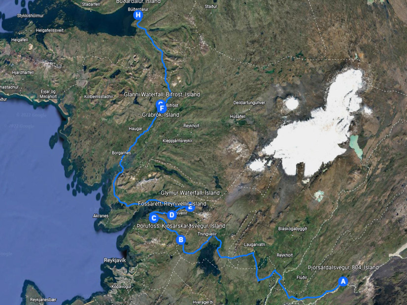
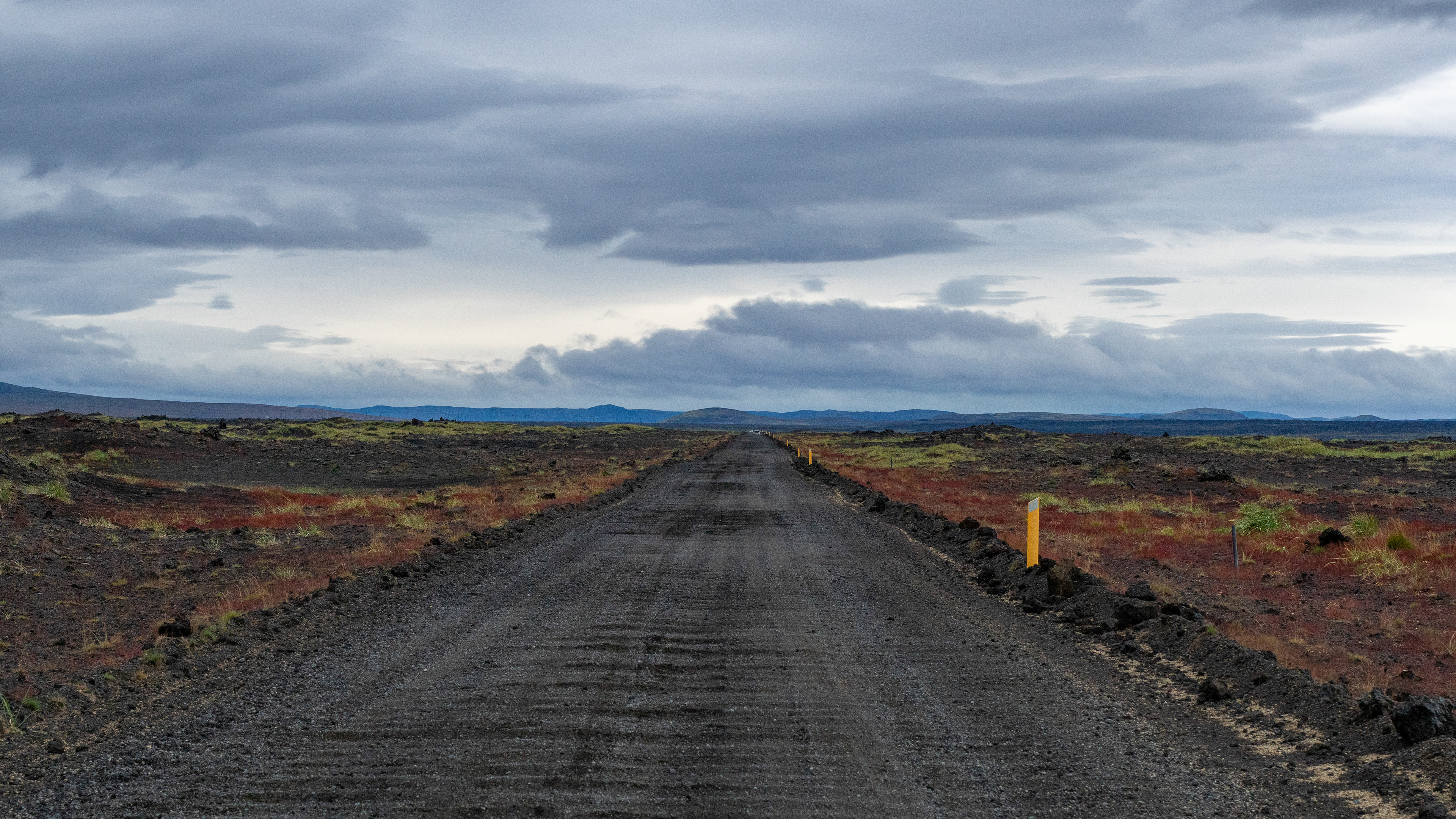
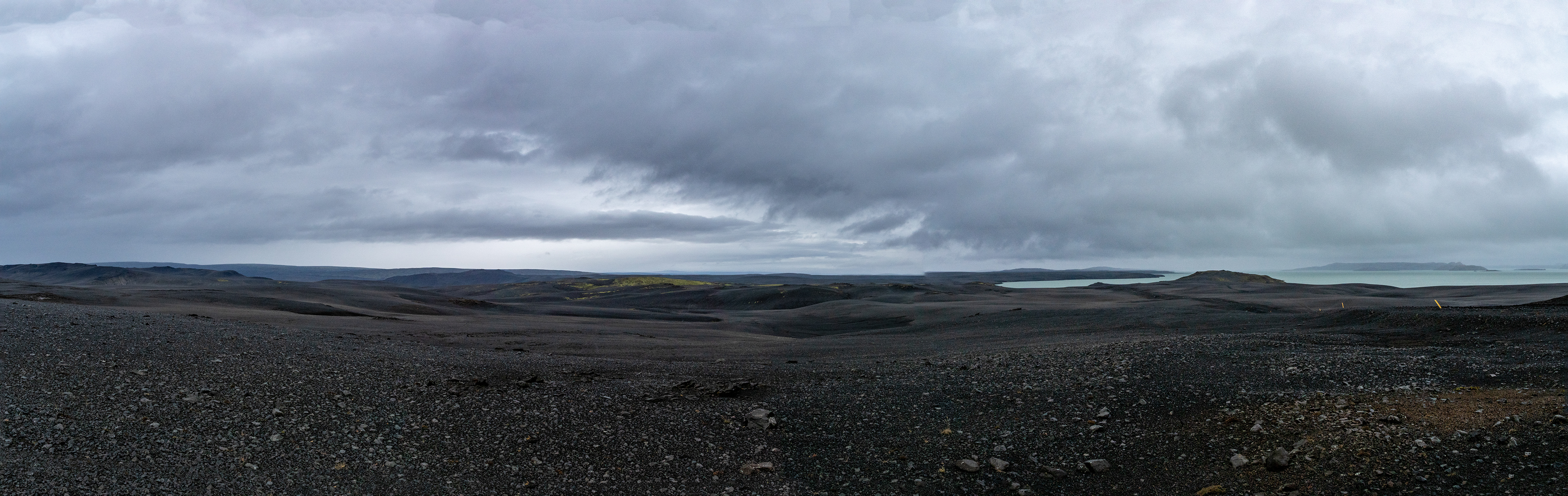
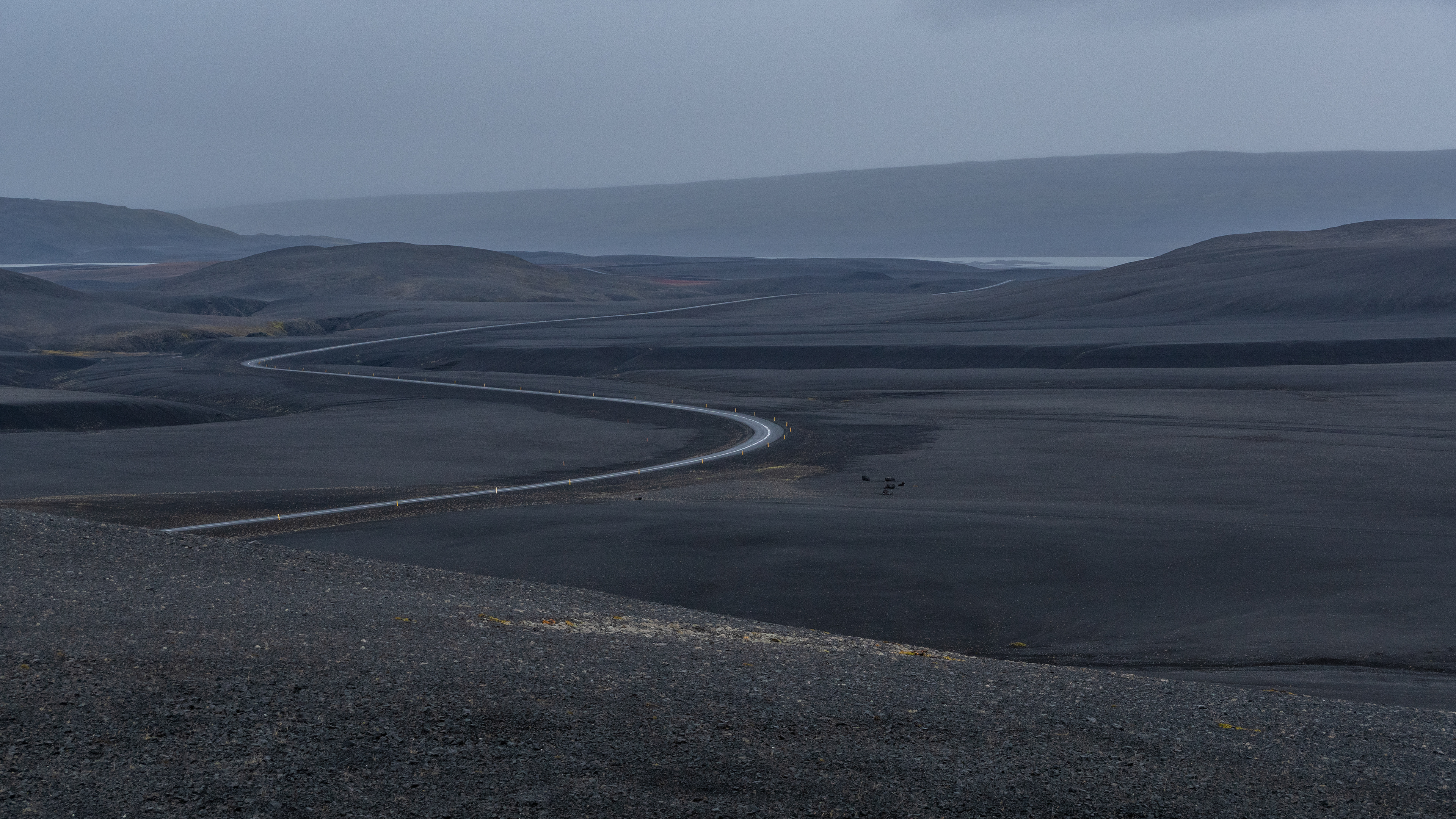
A few impressions of the route
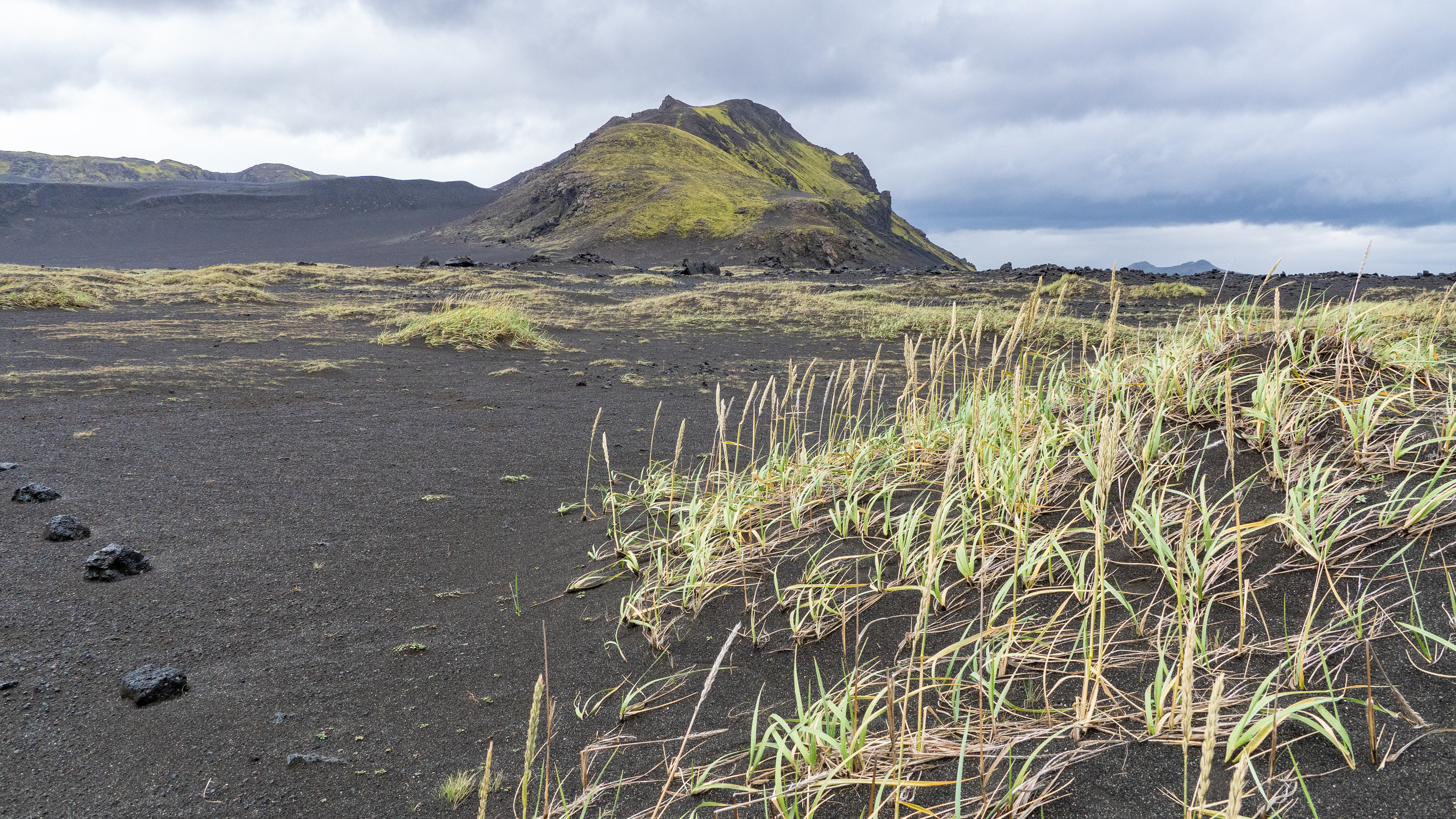
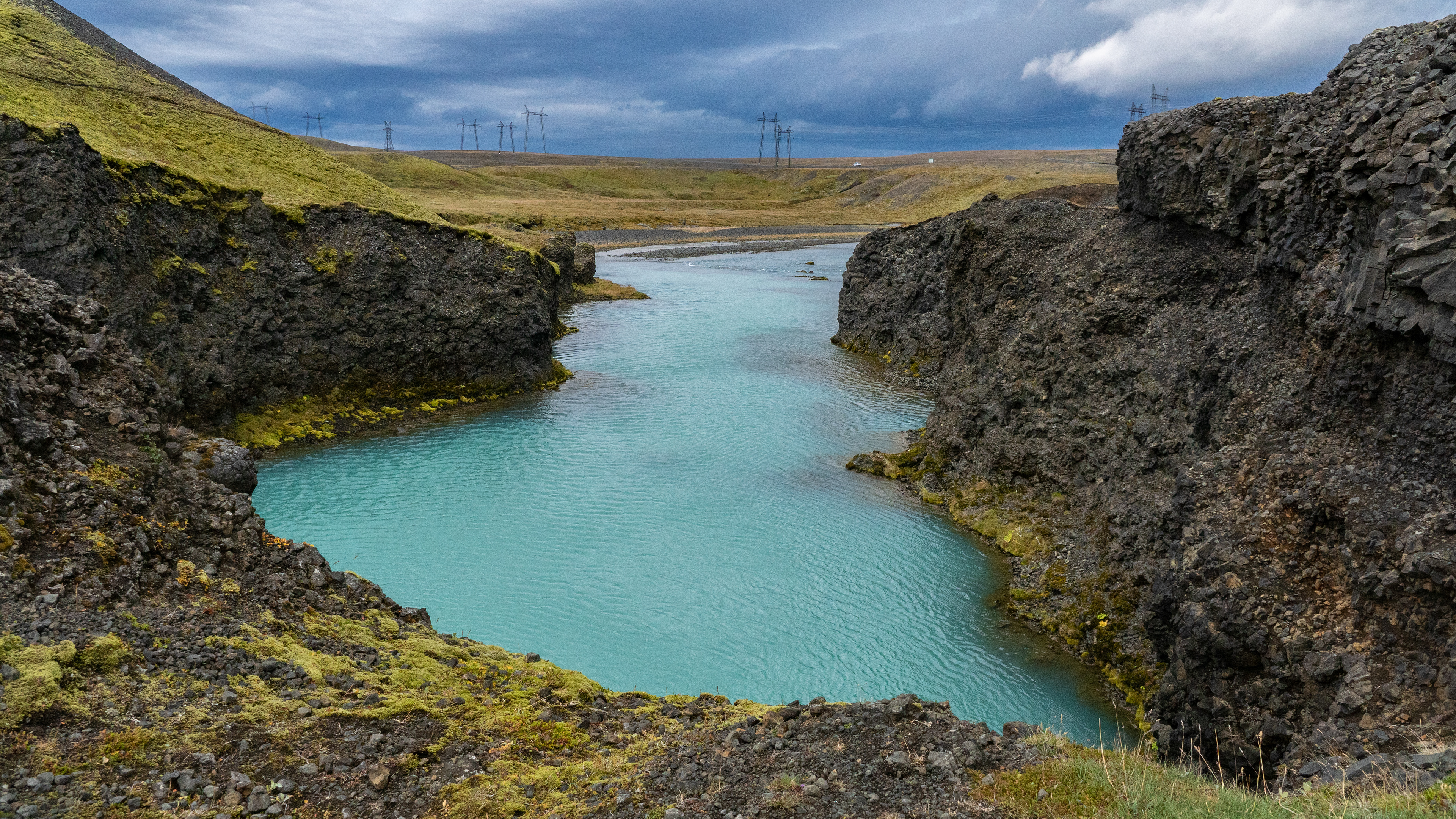
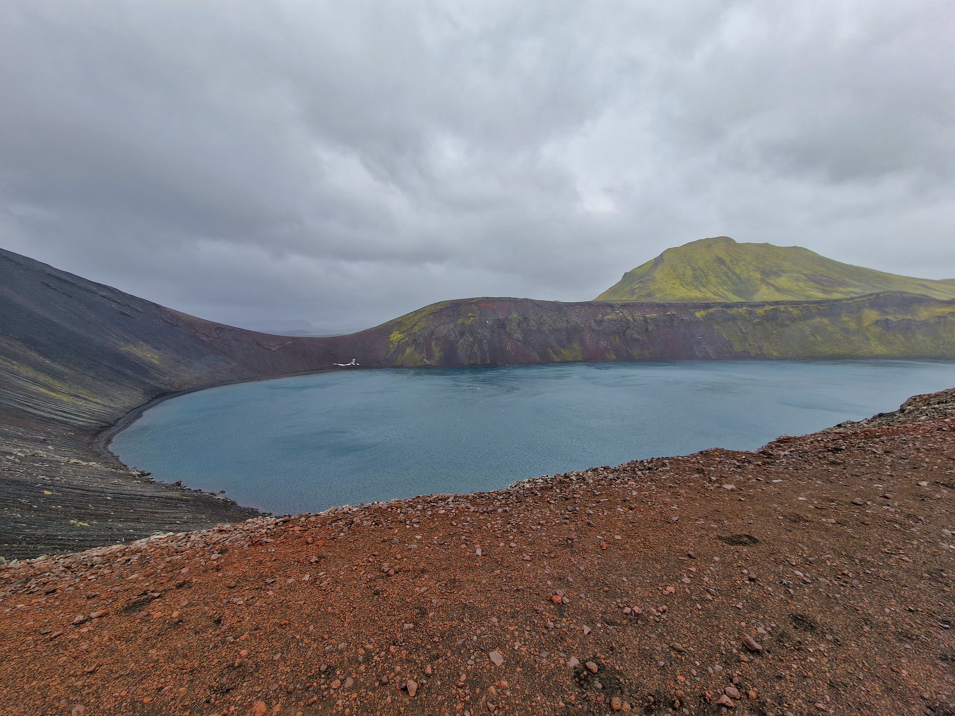
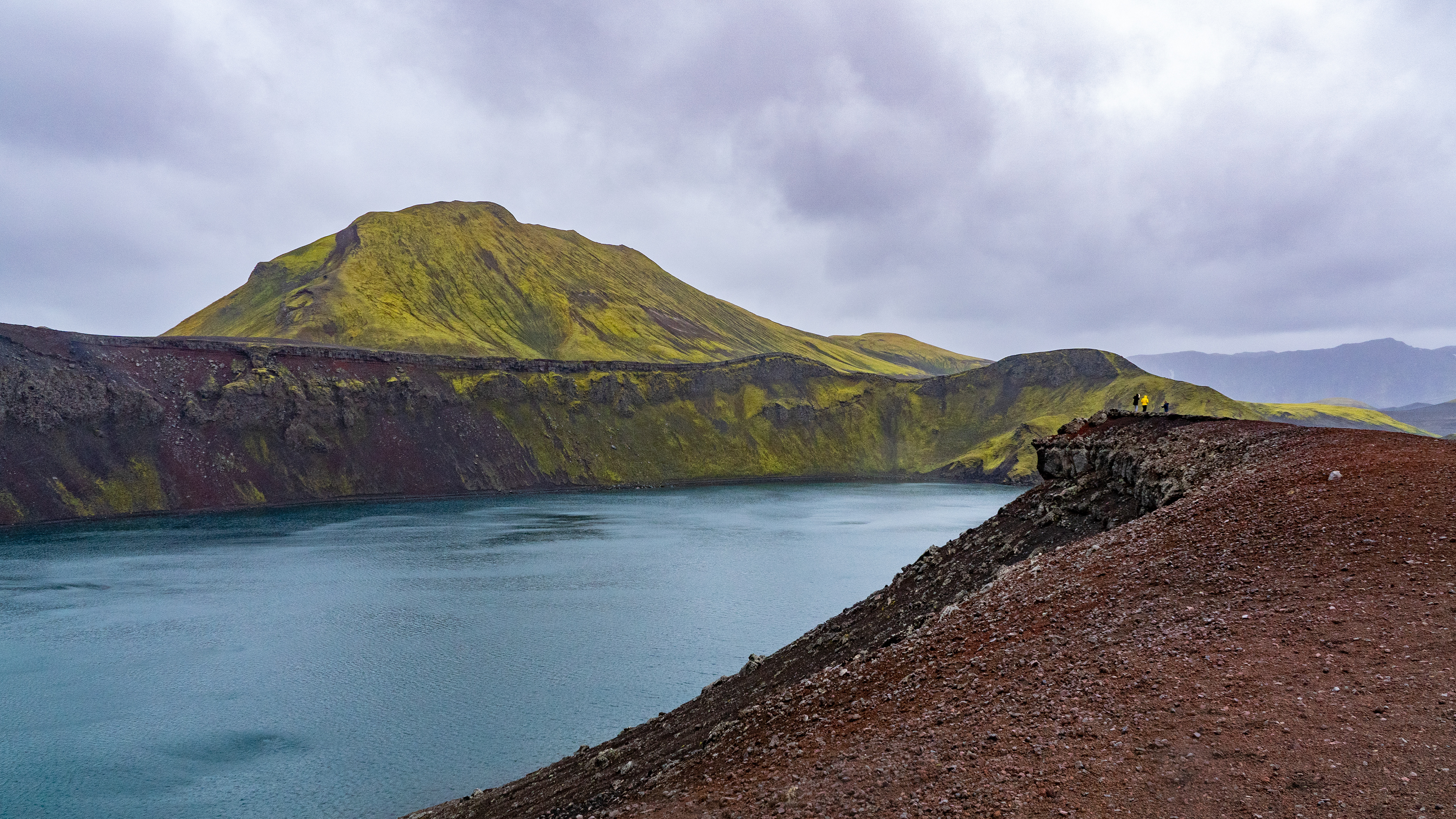
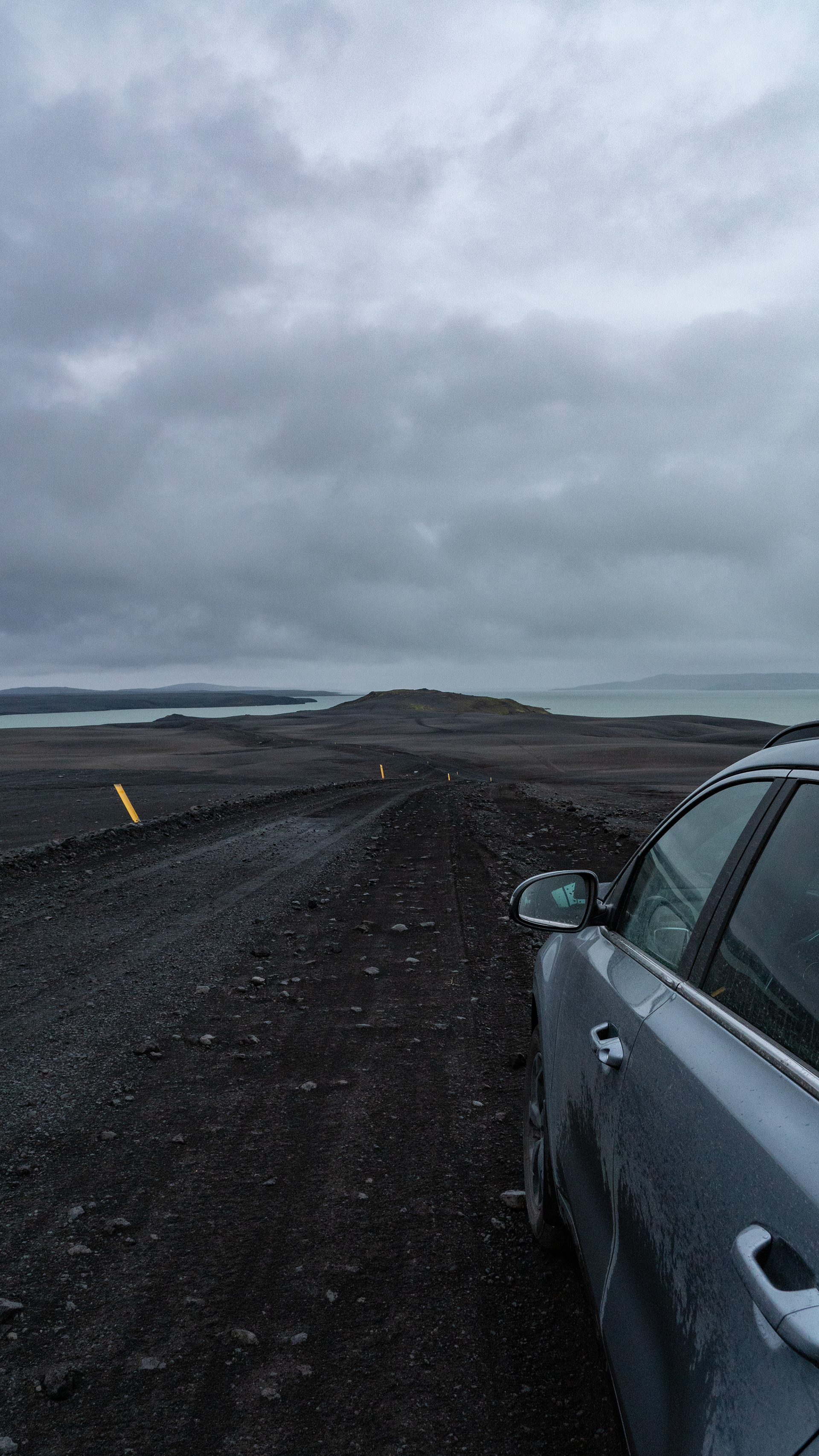
Before heading to Landmannalaugar on the F208, through the Fjallabak Nature Reserve, we made a detour at Hnausapollur.
It is just a few hundred meters off the route, with an extra drive-through passage.
The icy raindrops, with storm-like winds, shortened the stop but to an absolute minimum, it is still an impressive volcanic crater.
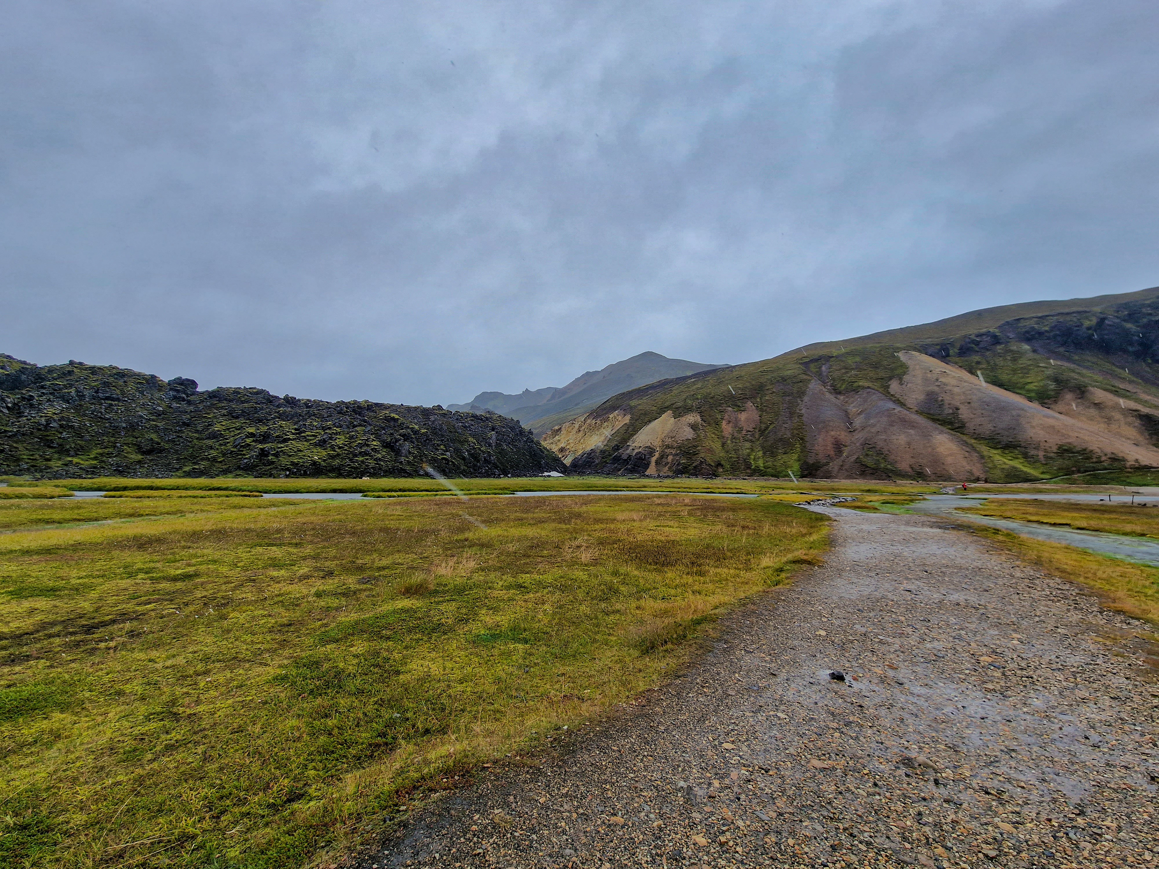
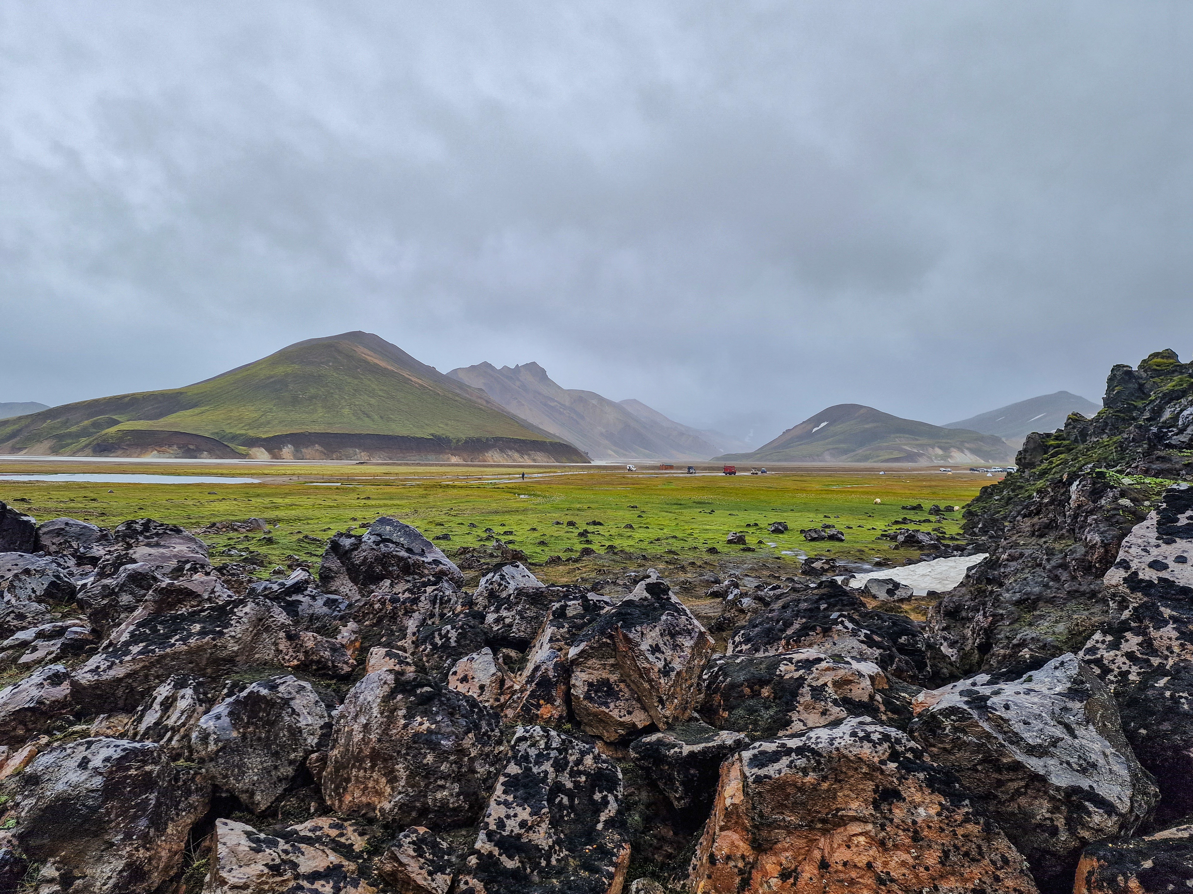
After this stop we continued into the highlands to our actual destination Landmannalaugar.
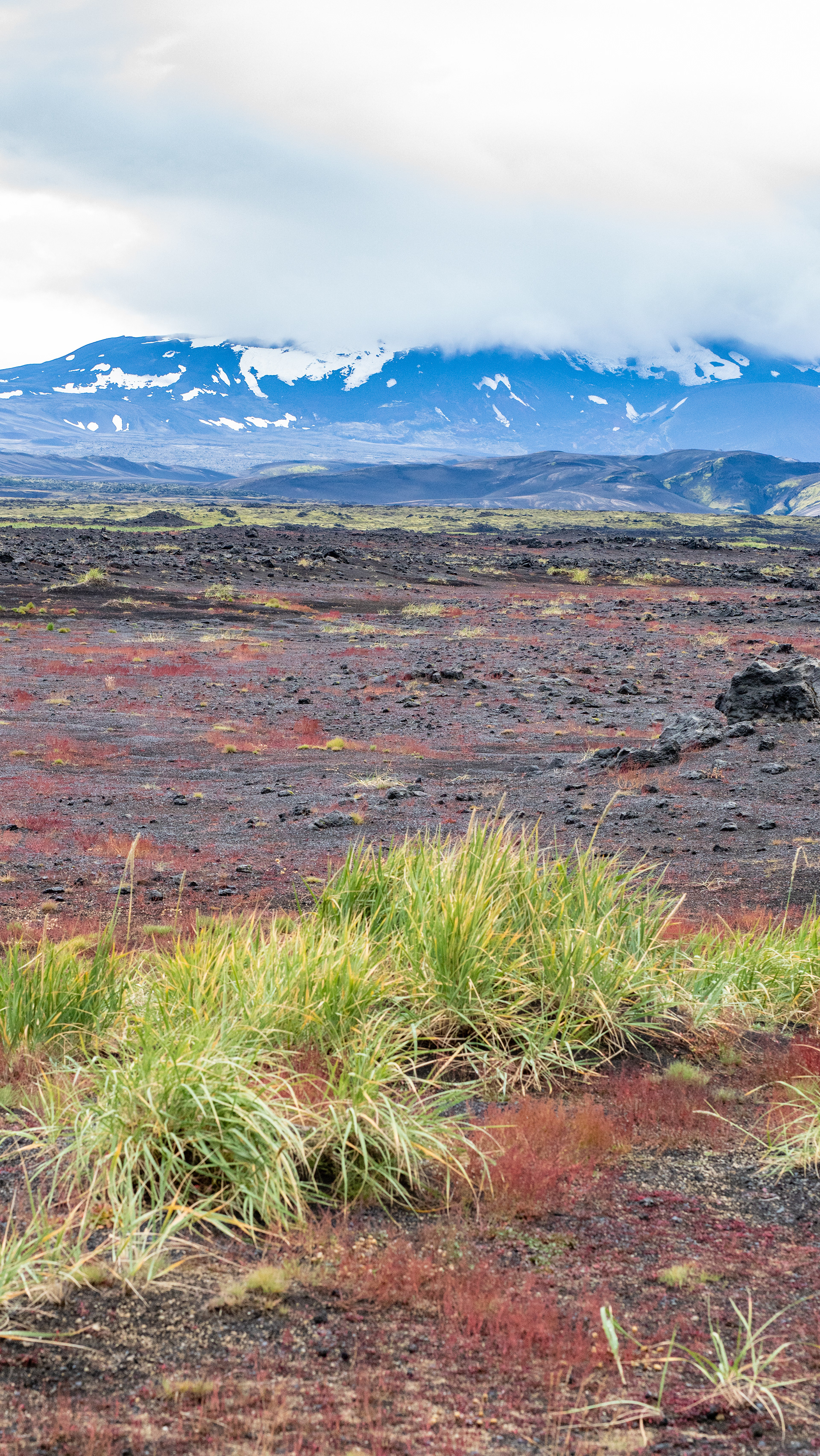
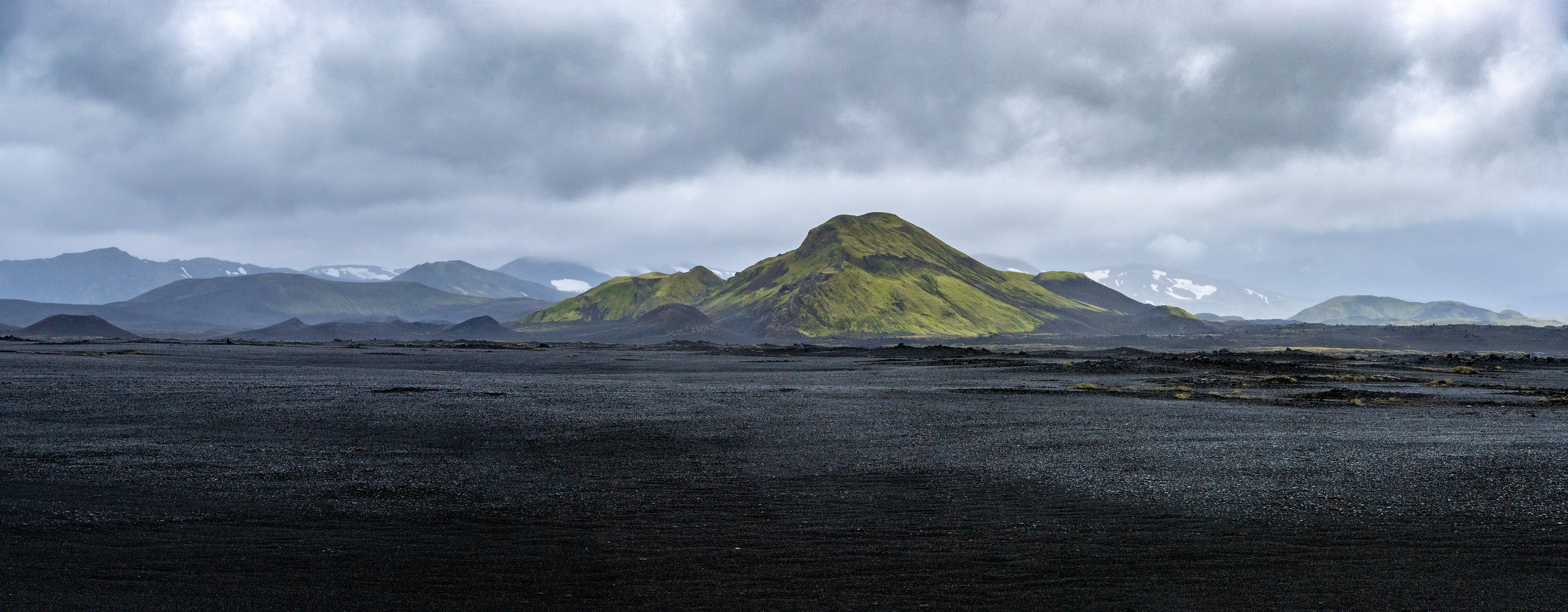
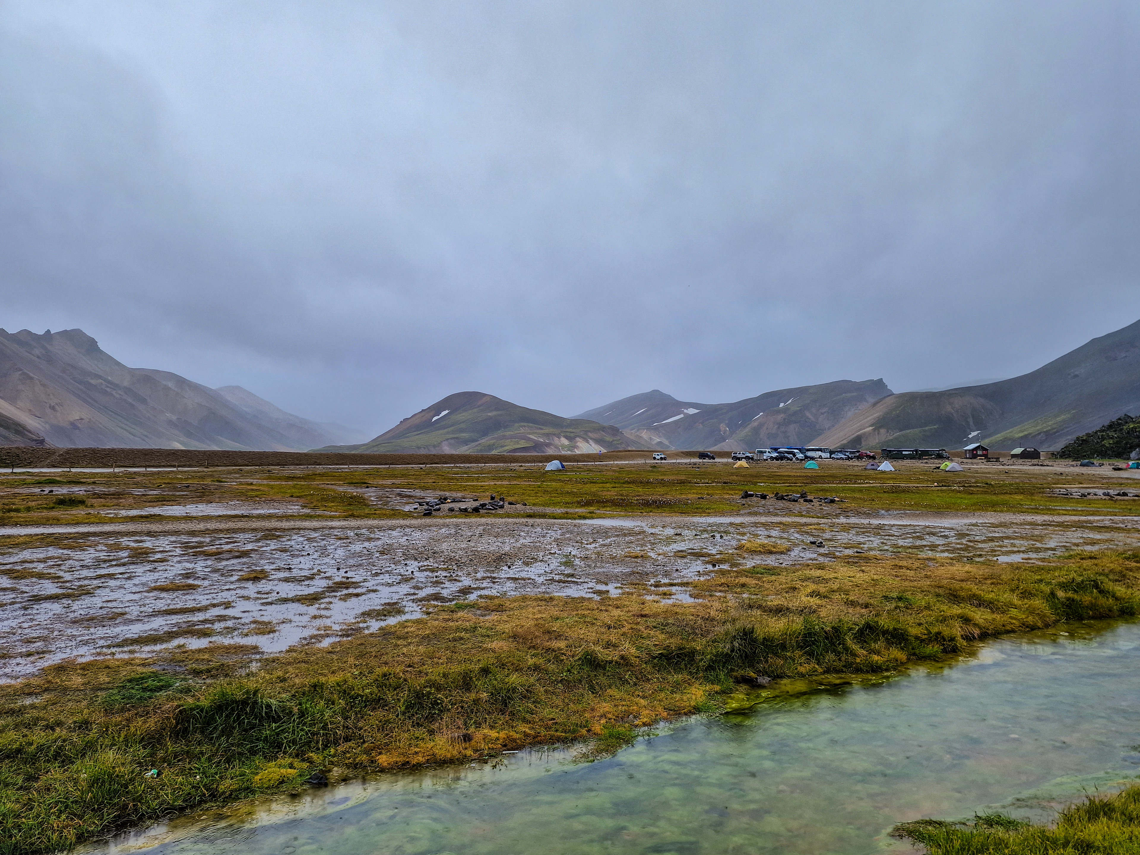
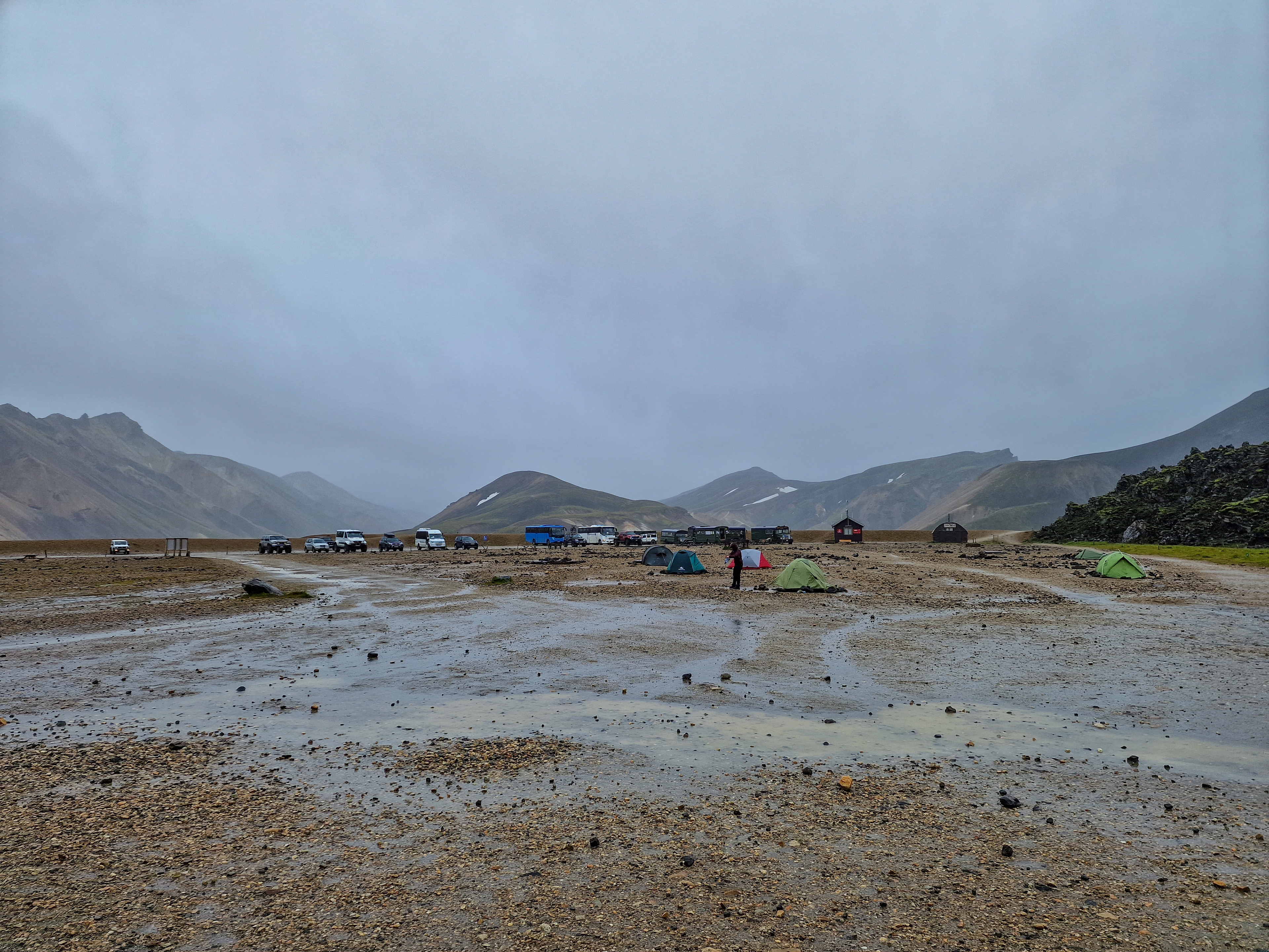
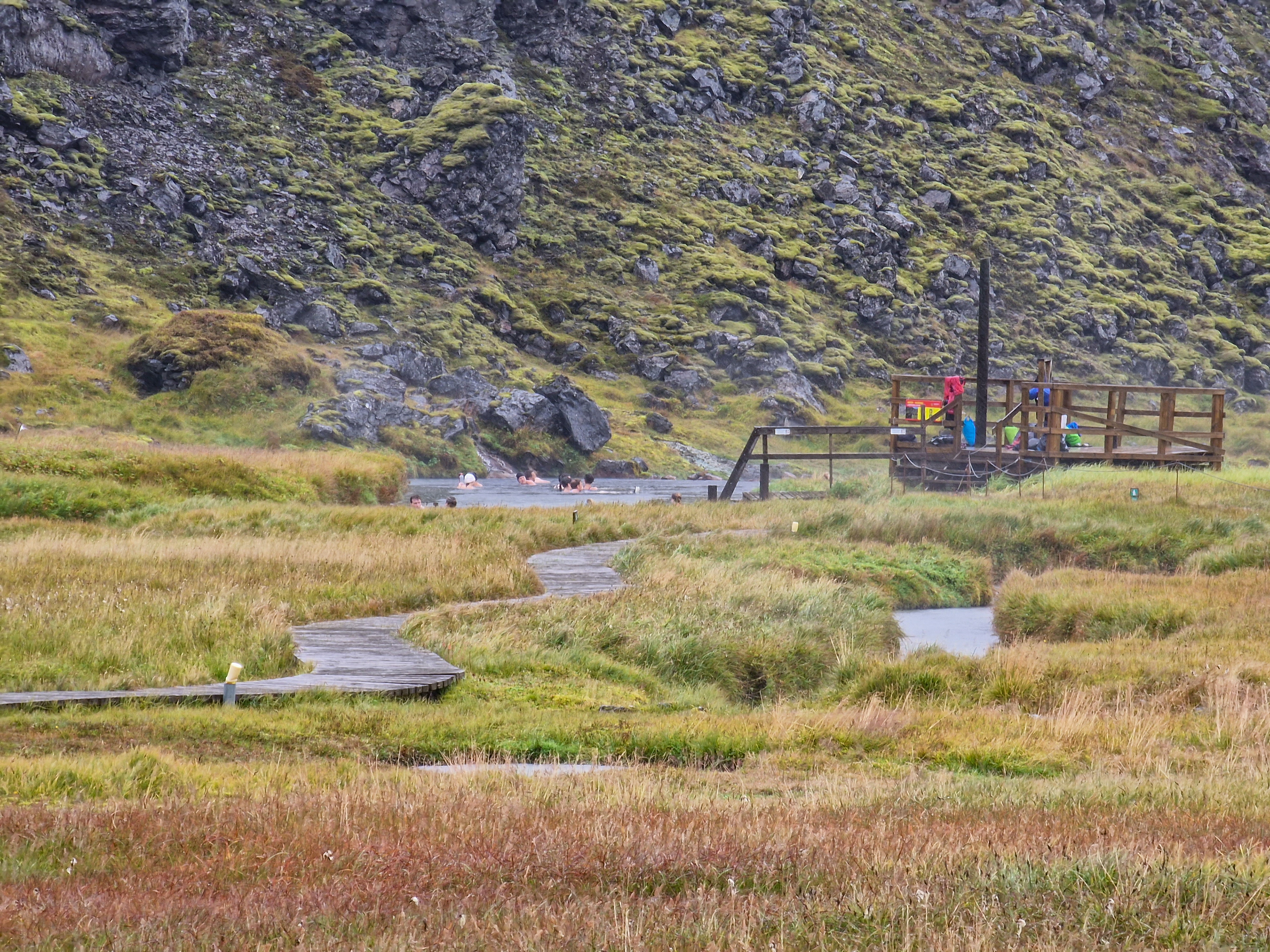
If you were to ask me what Landmannalaugar is, I would spontaneously say the hiking mecca in Iceland.
It is known for its colorful mountain landscape, black lava fields and geothermal activity.
Unfortunately, the colors come because of the weather nothing o to the advantage as we hoped.
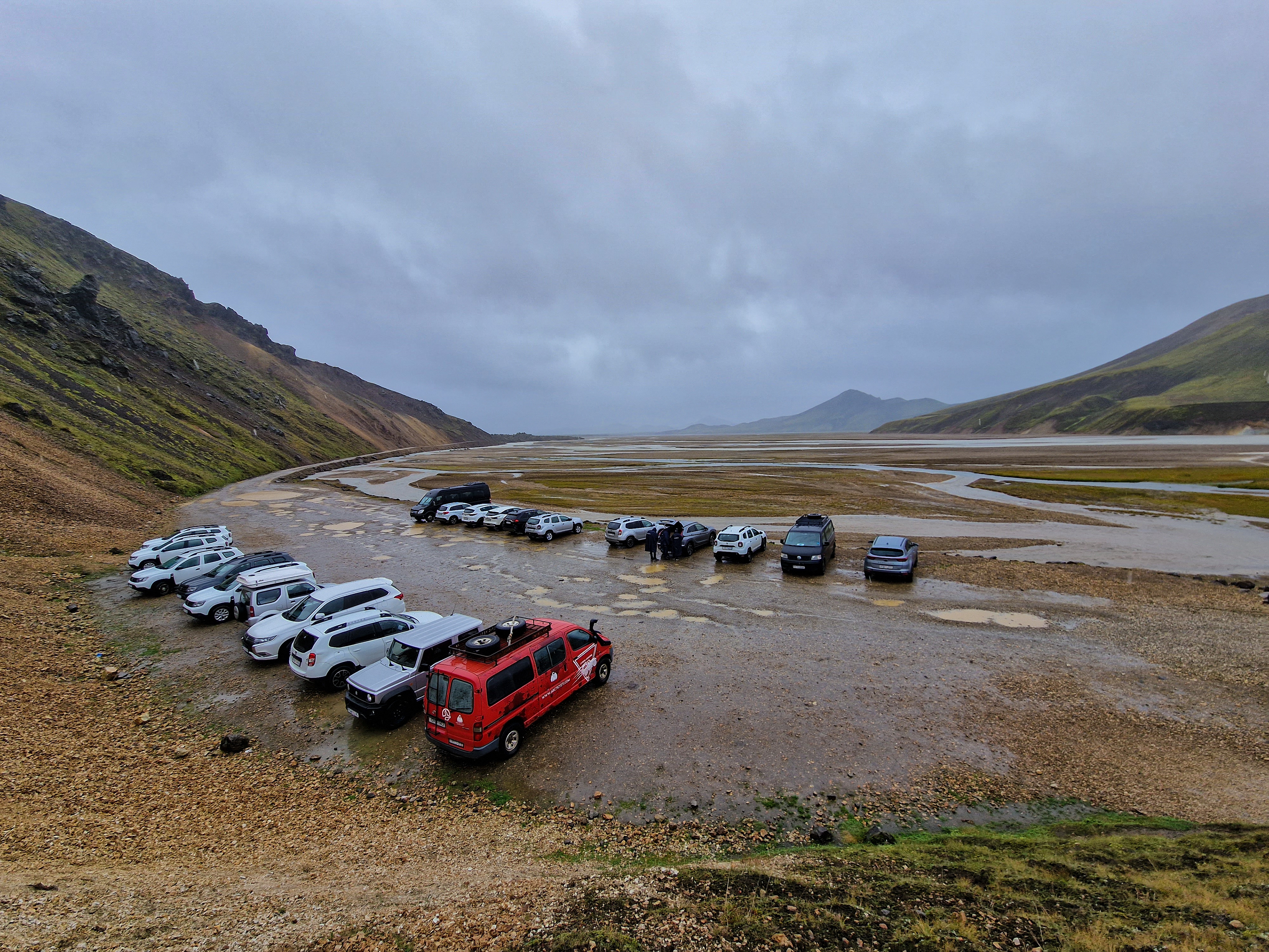
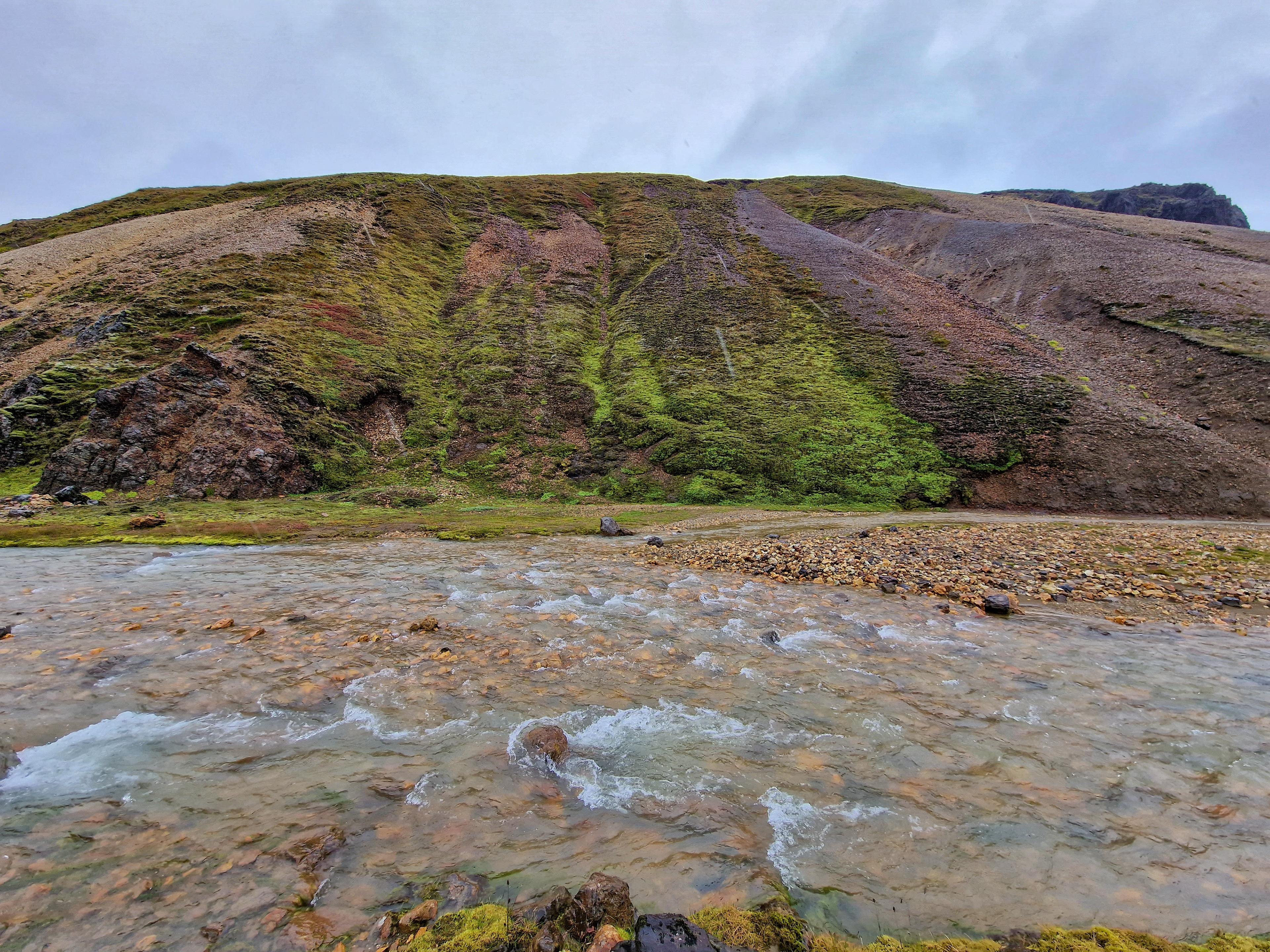
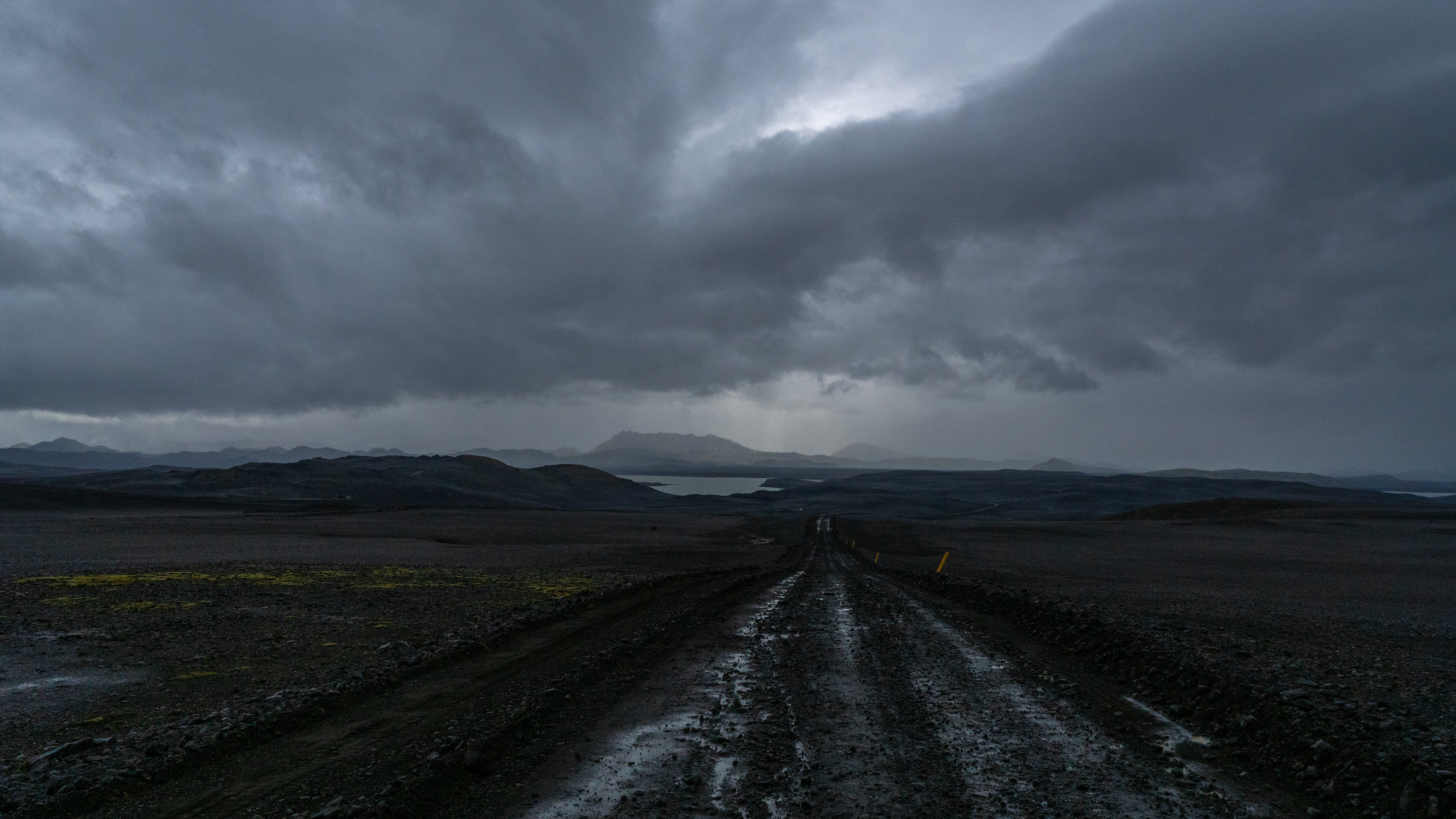
Due to the location in the highlands, Landmannalaugar is also much more difficult to reach like the "Golden Circle or the famous waterfalls on the Ring Road in the south, the F-roads are only allowed for terrain days.
Our trip to Landmannalaugar takes ~ 4 hours for ~95km, although for our conditions we made few and short photo stops due to the weather conditions.
Unfortunately, the trip to Landmannalaugar literally fell into the water, it rained continuously, so for photos the Sonys were out of the question, but we only made a few snapshots with the smartphones.
Despite rain jacket and over it rain poncho it was wet and cold, so we went only briefly to the tourist center with toilet, and then decided to return.
As you can see in the pictures, there were still some who pitched their tent here, real purists and enthusiasts - then you can only take off your hat.
We just have to postpone our beautiful Landmannalaugar experience, with hikes, to a later trip.
It is known for its colorful mountain landscape, black lava fields and geothermal activity.
Unfortunately, the colors come because of the weather nothing o to the advantage as we hoped.
Due to the location in the highlands, Landmannalaugar is also much more difficult to reach like the "Golden Circle or the famous waterfalls on the Ring Road in the south, the F-roads are only allowed for terrain days.
Our trip to Landmannalaugar takes ~ 4 hours for ~95km, although for our conditions we made few and short photo stops due to the weather conditions.
Unfortunately, the trip to Landmannalaugar literally fell into the water, it rained continuously, so for photos the Sonys were out of the question, but we only made a few snapshots with the smartphones.
Despite rain jacket and over it rain poncho it was wet and cold, so we went only briefly to the tourist center with toilet, and then decided to return.
As you can see in the pictures, there were still some who pitched their tent here, real purists and enthusiasts - then you can only take off your hat.
We just have to postpone our beautiful Landmannalaugar experience, with hikes, to a later trip.

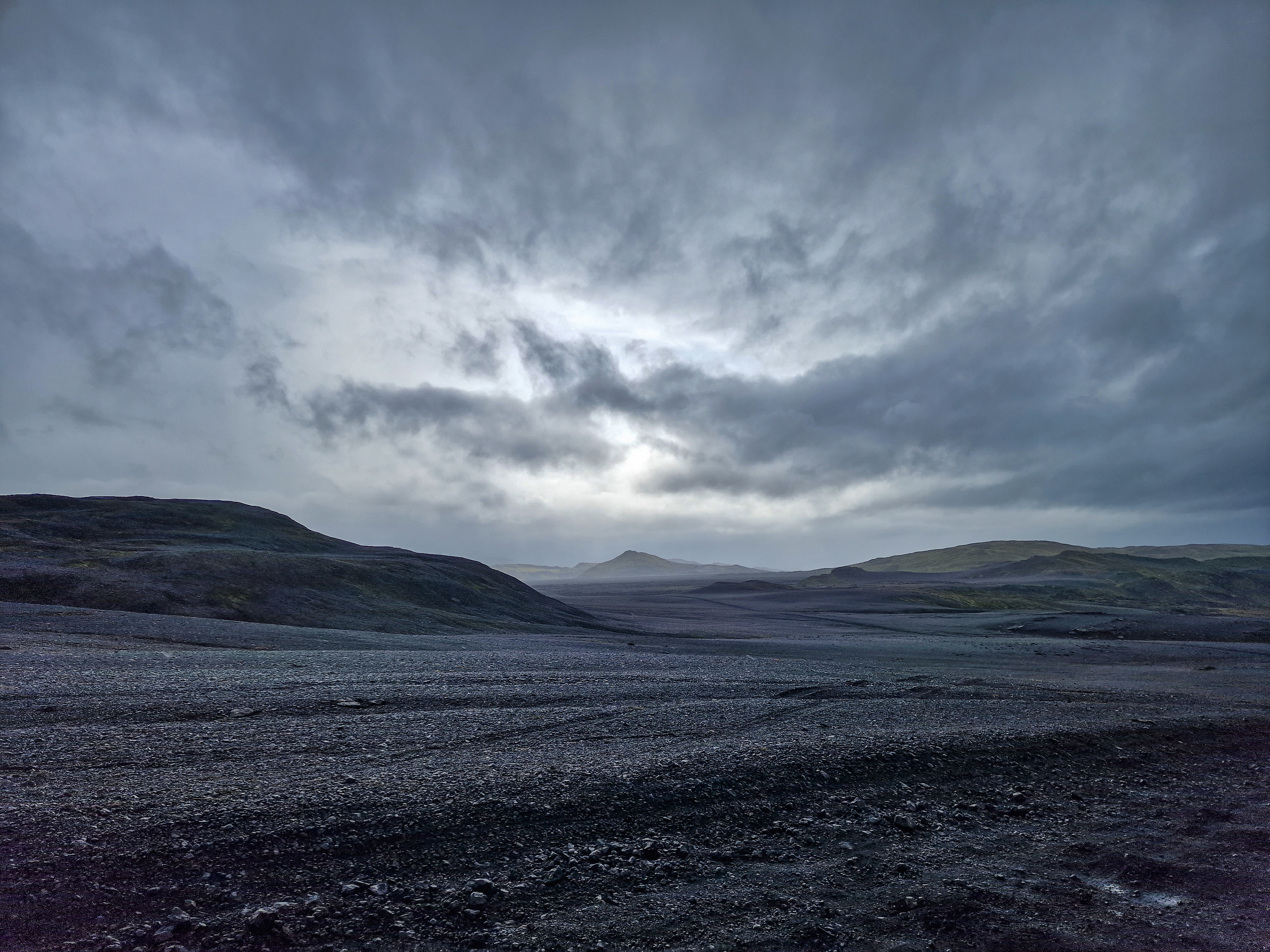
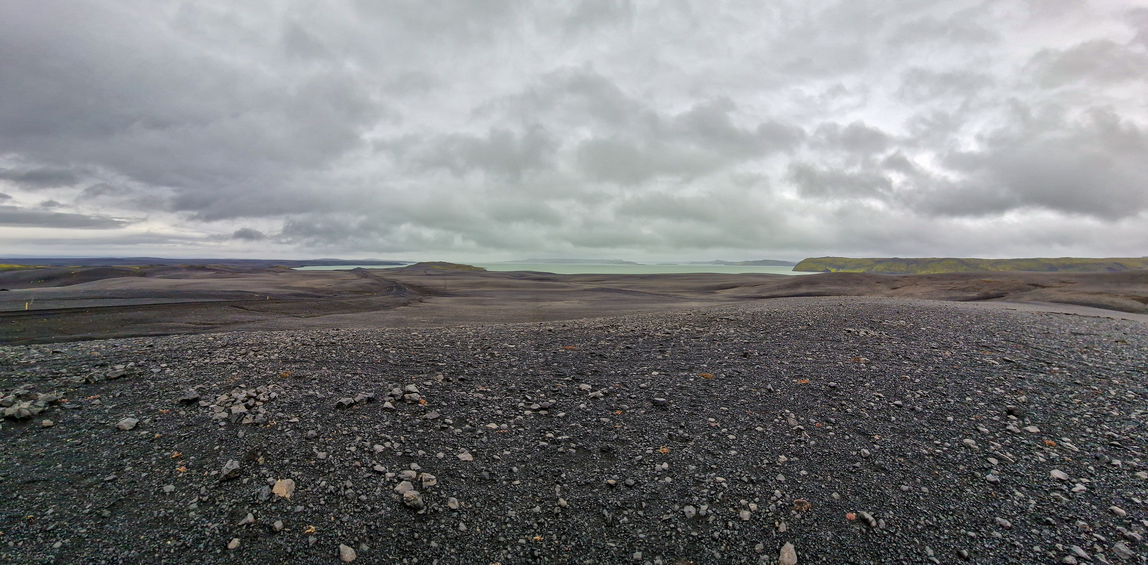
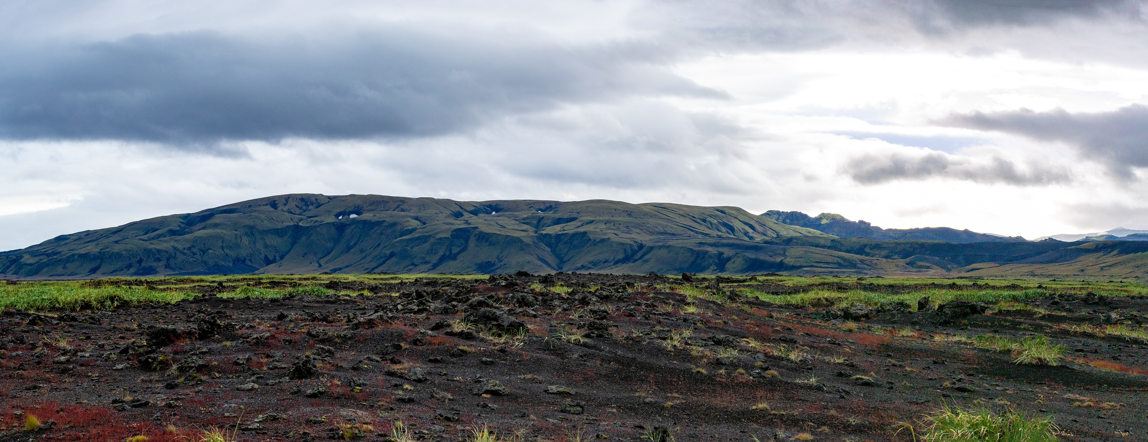
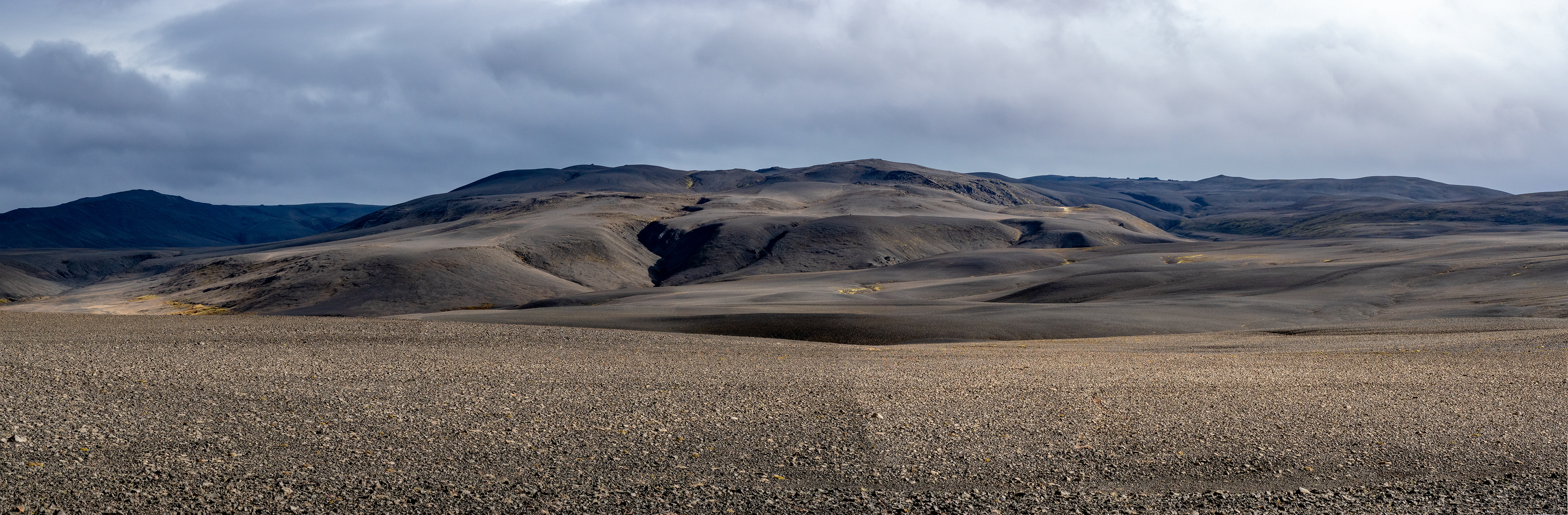
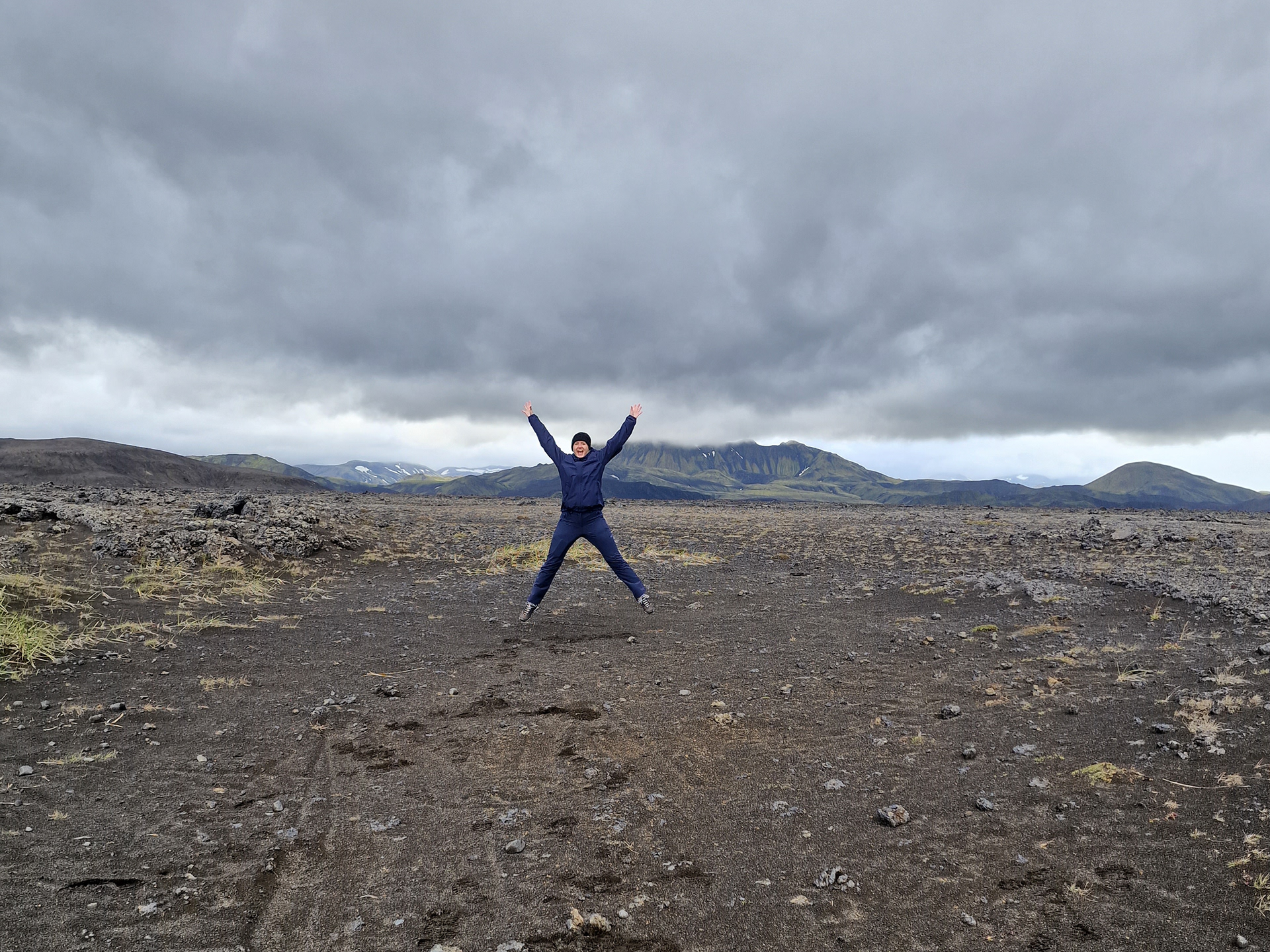
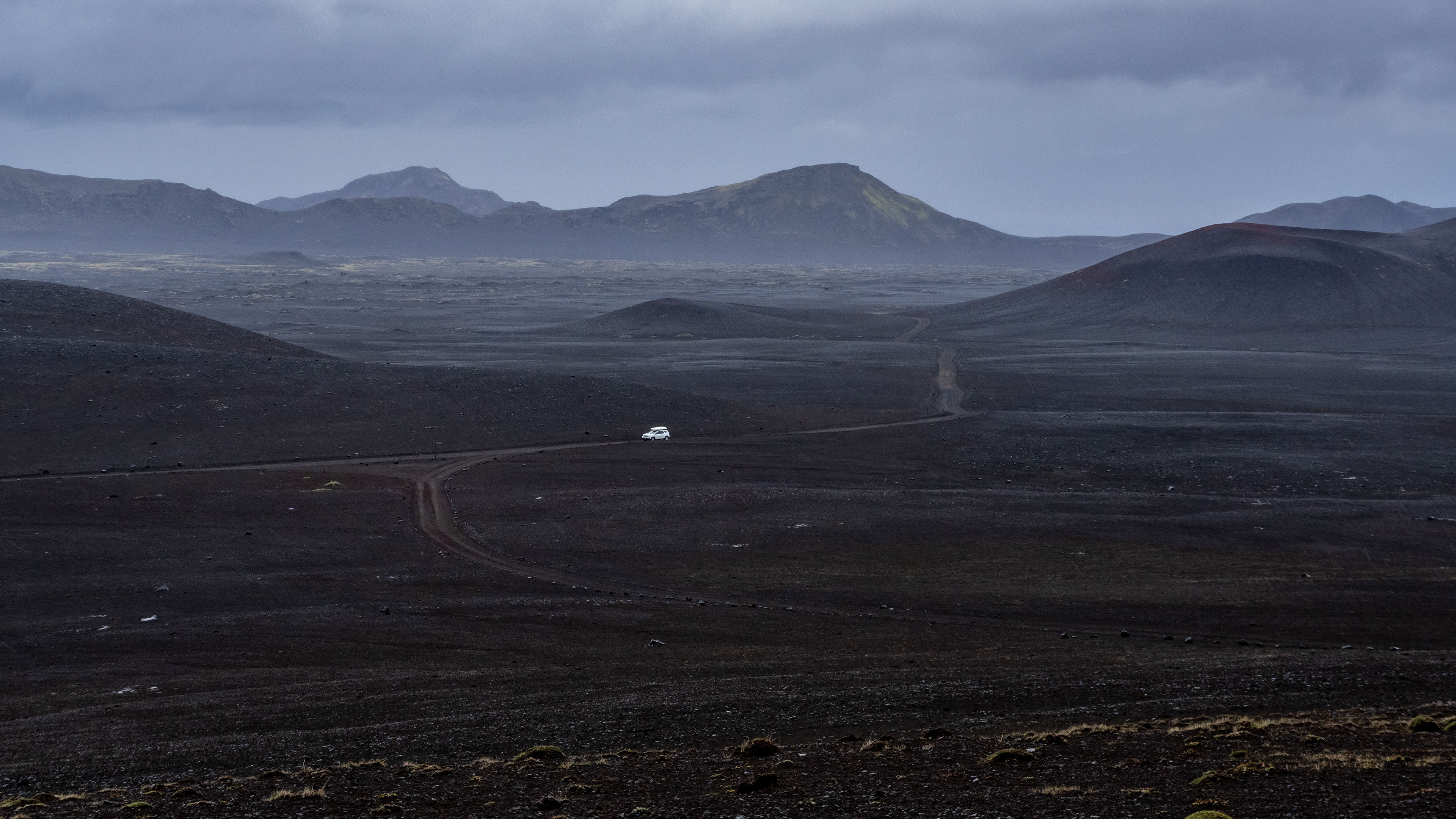
But so that the day's tour doesn't end much too soon, we decided to make a detour to Iceland's largest lake, Þórisvatn.
You can't get enough of even more monotonous black.
An apparently life-unfriendly region, at least on today's day, which nevertheless exudes a certain fascination.
Sauron from "Lord of the Rings" would feel right at home here.
You can't get enough of even more monotonous black.
An apparently life-unfriendly region, at least on today's day, which nevertheless exudes a certain fascination.
Sauron from "Lord of the Rings" would feel right at home here.
There is not much more to report about today, the pictures and short videos speak for themselves.
Only this, this was the day with the worst weather, it got better - much better!
Only this, this was the day with the worst weather, it got better - much better!